The Lake on Mt Ashland

If you know where to look, there is a small lake on southern Oregon’s Mt Ashland.
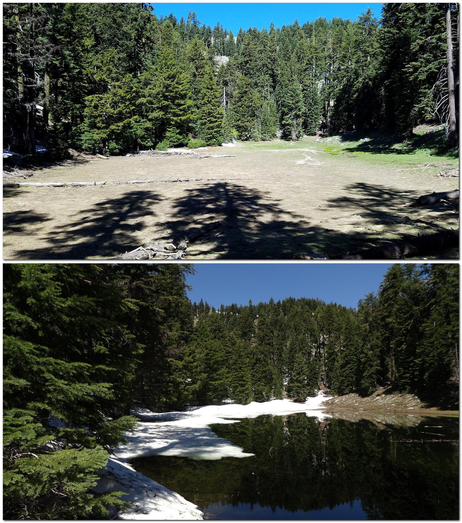
Top: the lakebed this year. Bottom: the lake full of water on July 4, 2011. The two pictures were taken from about the same place.

Let me qualify that. It’s not actually a lake, it’s more like a large vernal pool. And it isn’t directly on Mt Ashland, it’s on the west wall of Grouse Gap, the big meadow-filled basin that lies just west of Mt Ashland. Mt Ashland forms Grouse Gap’s east wall. But if you get to the right place at just the right time – most of the way, but not all of the way, through the snowmelt season – there is, in fact, a lake there.

Wednesday of this week wasn’t the right time. We were too late: the lake had come and gone, which is the way we commonly find it. We’ve been able to get there when the lake was full only once. But it’s always fun trying.

Yesterday’s hike started early, with breakfast at The Breadboard in Ashland shortly after 7:00 AM, followed by a drive up I-5 and the Mt Ashland Ski Road to Forest Road 20, which heads west from the ski area along the crest of the Siskious, a high landscape of rocky peaks, lingering snow, and wildflower meadows – but very few lakes – to Dutchman’s Peak. By 10:00, following a couple of stops and some really slow driving along heavily-potholed Road 20, we were ready to walk.
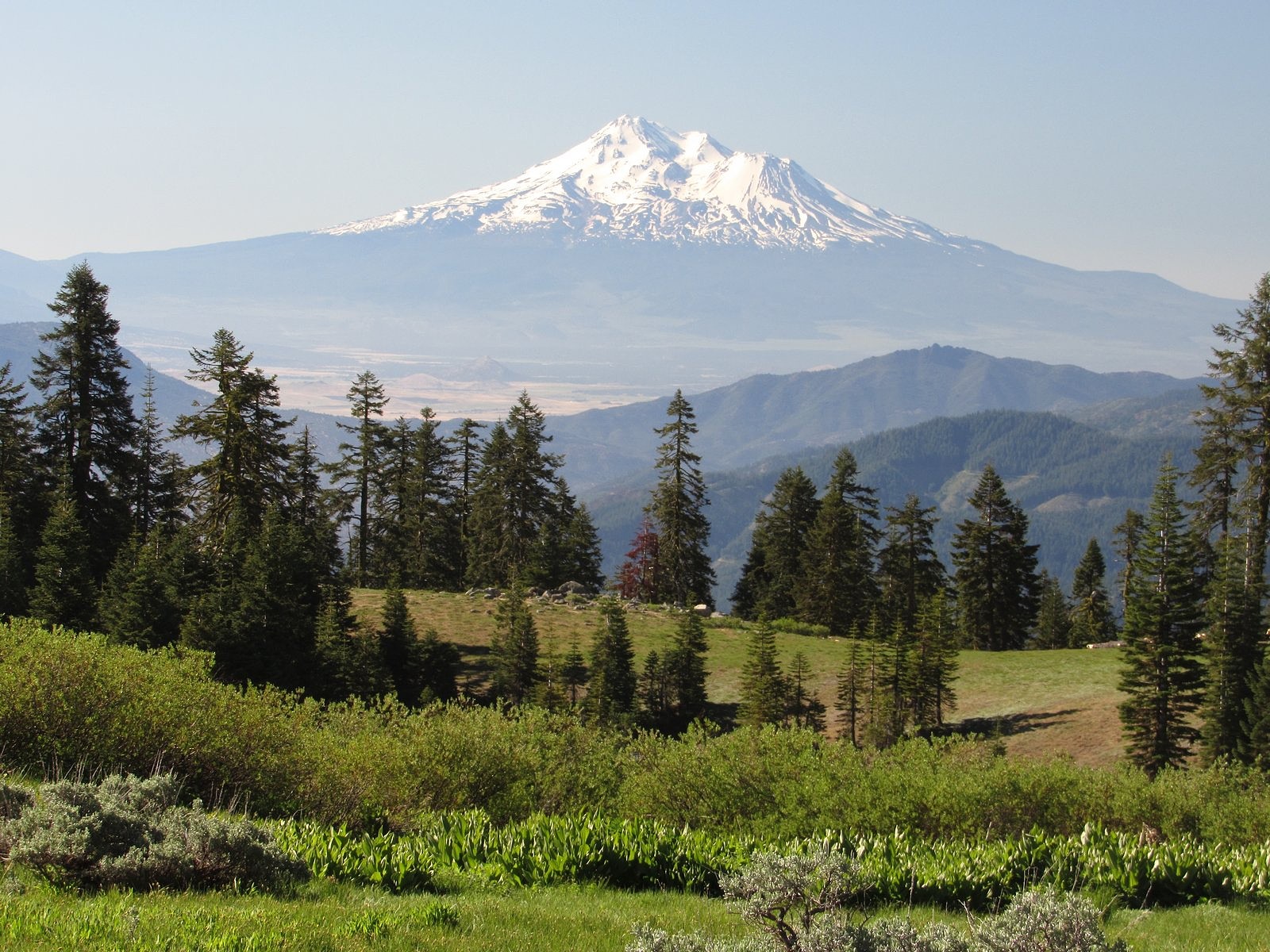
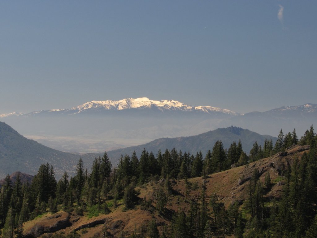
Mt Shasta from Grouse Gap.

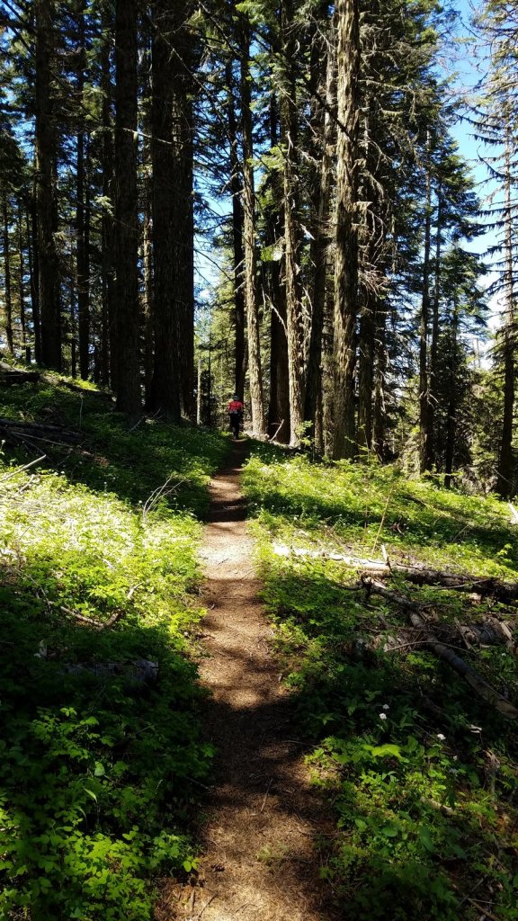
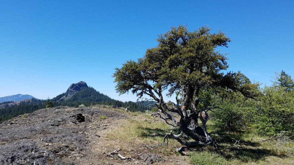
We began on the Pacific Crest Trail, heading west from the Grouse Gap trailhead through meadows and woods to the rocky opening, near the big switchback on the gap’s west wall, where we knew we could see the lake if it was there. It wasn’t, but we decided to go down to look at the lake bed anyway. From the dry lake, we worked our way cross-country to the real goal of the day – a large rock outcrop on the west ridge of the gap we’d been to once before. The combination of rock scrambling, flowers, dramatic dropoffs, and huge views dominated by the double white cone of Mt Shasta make it one of my favorite spots in the Siskiyou range.

Flower photos and granola bars dominated the next hour.
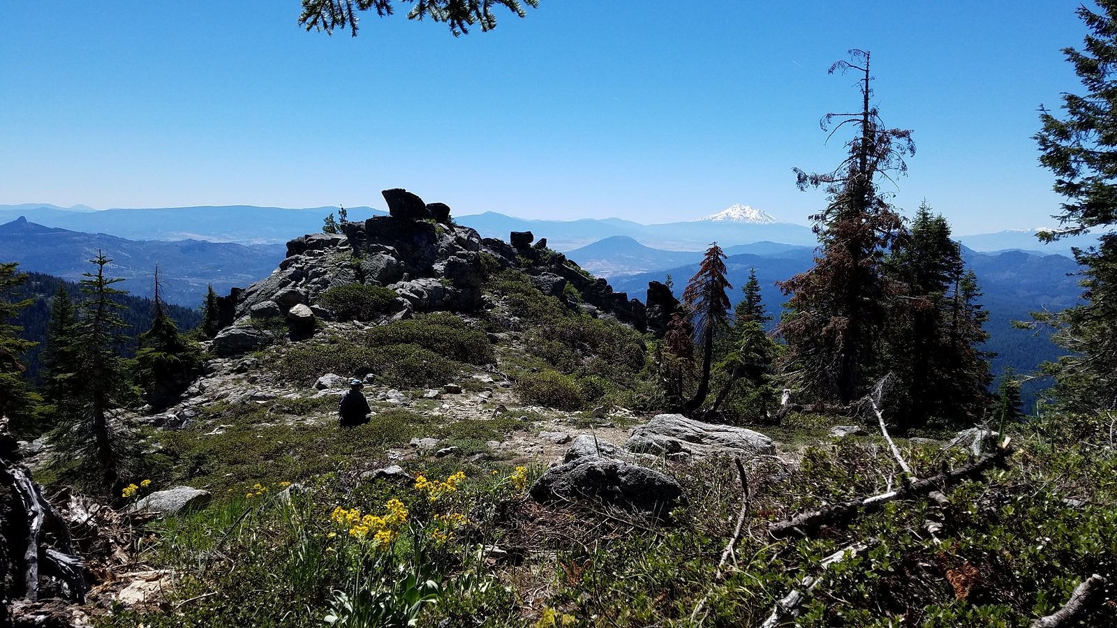
The outcrop, with Melody seated at its base.
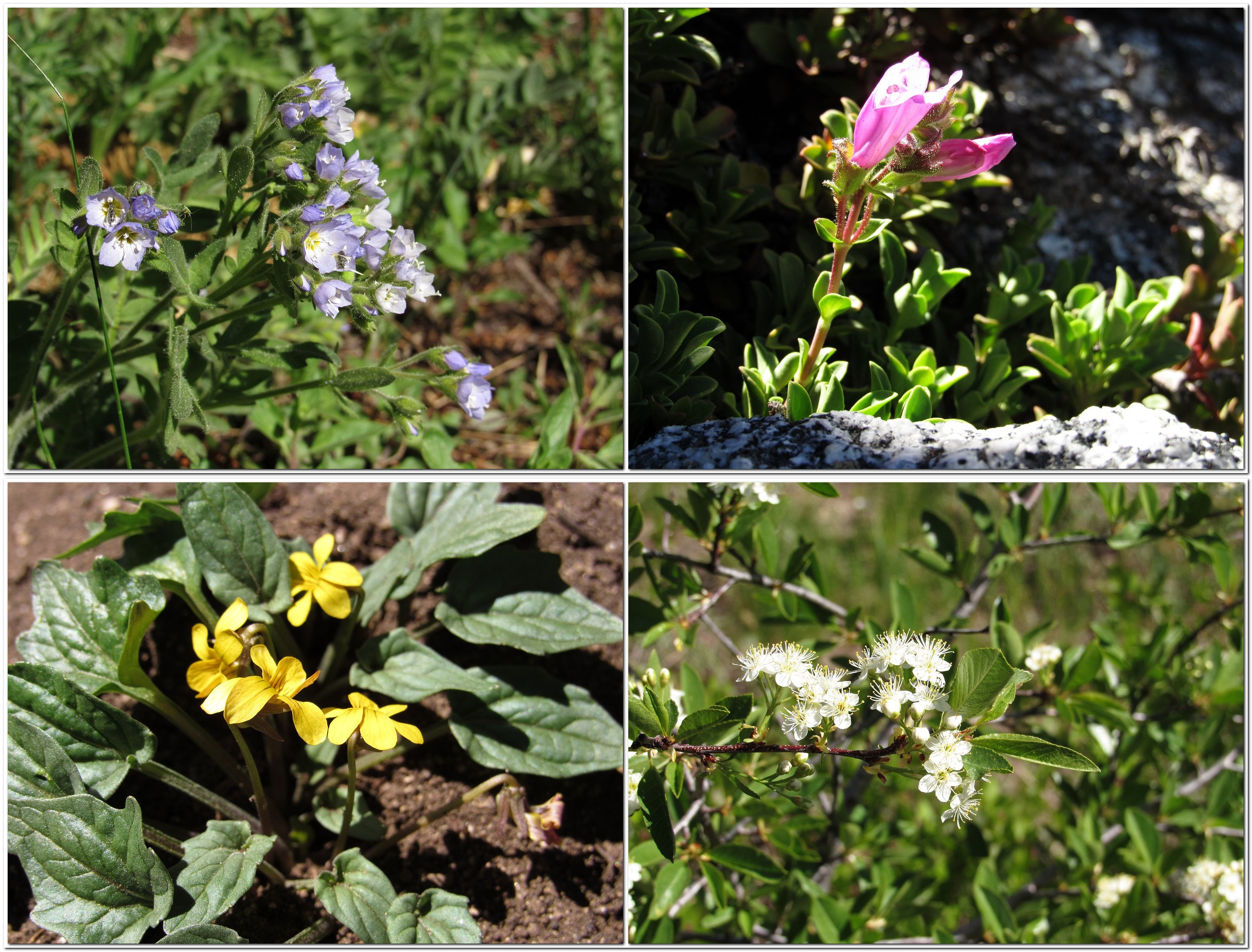
Clockwise from upper left: showy polemonium, cliff penstemon, bitter cherry, Nuttall’s violet.

We kept to the ridge on the way back, climbing up and over the unnamed rock knob at its crest and coming down to the high saddle that’s converged on by both the PCT and Road 20 to cross the ridge – the trail and the road are perhaps fifteen feet apart at that point, so you have a choice. We chose to walk the road for a bit. There’s a spring full of buttercups, on a steep, open hillside of small streams lined with kalmia, in the bend where the side ridge we’d been on joins the main east/west backbone of the range, and we often use that hillside to drop from the road to the trail, some distance below. A deep draught of the good juice of the Earth from the spring, a visit to the kalmia – the blooms were fading but still lovely – and we were soon back to the car, ready to head down the mountain and rejoin the rest of the human race.
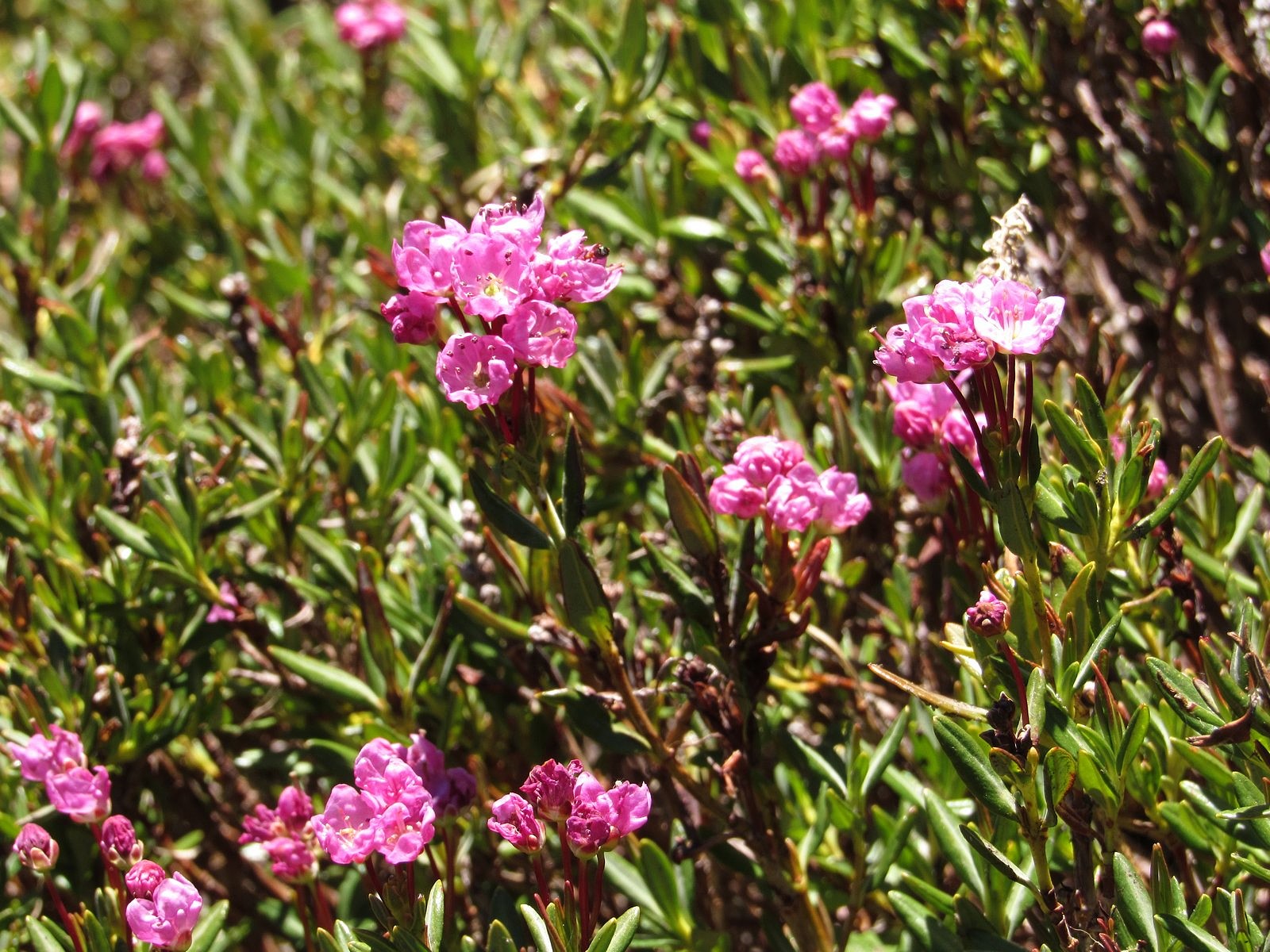
Kalmia

This is an electric-car blog, so I’ll put in a word here about the great advantage of an electric car over an ICE – internal combustion engine car – for mountain driving. It is 36 miles from our home to the Grouse Gap trailhead, with a 5600-foot elevation gain, most of it in the 20 miles between the Highway 66 freeway interchange in Ashland and the trailhead. Climbing those 5600 feet requires extra energy, in either an electric car or an ICE. What’s different about electric drive is that, on the descent, you gain a fair amount of that extra energy back. An ICE will just burn more gasoline – if only enough to keep the engine turning over and available.

The screen that reports a running total of the number of kilowatt-hours drained from the Bolt’s battery pack since its last complete charge holds the key figure, here. That screen read 16.1 kwh at the trailhead. It read 13.2 kwh at the Highway 66 interchange, meaning that almost three of those depleted kwh had been put back in – the car had only borrowed them. By the time we pulled into our garage, sixteen miles further along, we had used up those three regenerated kwh plus one more – the screen reading was 17.2. We’d used a net of just over one kwh to travel 36 miles. That’s the equivalent, roughly, of 750 mpg in an ICE, on cheaper fuel. Add the Bolt’s rough-road cred – full torque available at all speeds; clutchless application of that torque (allowing finer control for dealing with potholes, puddles, and rocks); and seven inches of ground clearance (two inches more than a typical sedan, and only a little over an inch and a half less than a Subaru Outback), and I can’t for the life of me figure out why anyone would want to drive anything else.
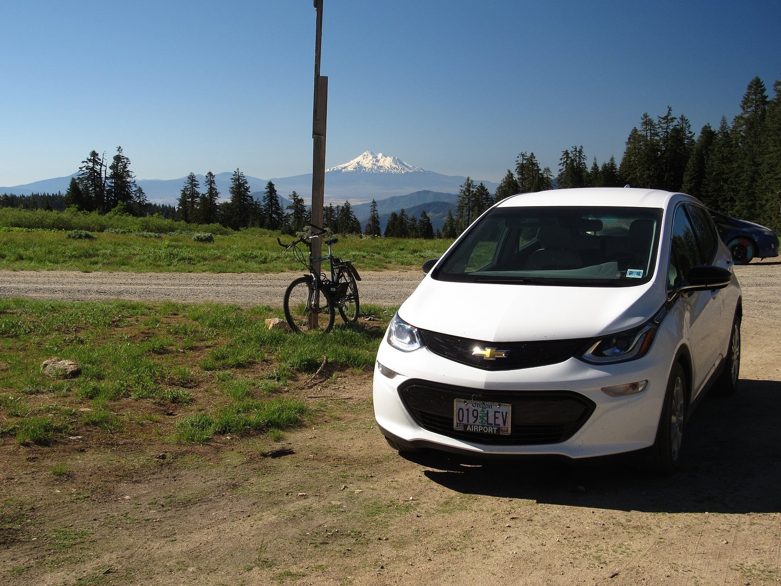
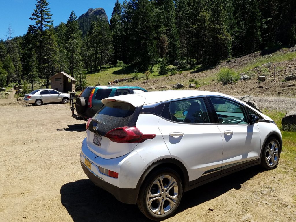
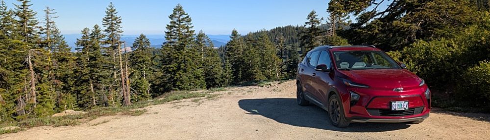
The Bolt at the Grouse Gap trailhead, with Mt Shasta in the background. Lead photo: Mt Shasta over meadow larkspur in Grouse Gap.

Porcupine Mountain

A little-known destination in a little-known National Monument in Oregon.

Pilot Rock

This time, the tires held up.

Not that they weren’t challenged. The road to the Pilot Rock trailhead, the closest access to the single most spectacular scenic feature of the Cascade-Siskiyou National Monument, is vile. Two miles of rocks, ruts, and really robust potholes. But then the CSNM, as it is known locally, wasn’t established to protect scenery or hiking trails. In keeping with the actual reasons behind the passage of the Antiquities Act, back in the Theodore Roosevelt administration, the Monument encompasses an area of outstanding historical or scientific interest – in this case, botany. There are two parallel mountain chains in the Pacific West, stretching most of the way from Mexico to Canada without a break: the coast ranges along the ocean – which climb as high as 9,000 feet in northern California – and the much younger Cascade-Sierra chain, which forms the eastern side of the great western valleys, including California’s Central Valley, Oregon’s Rogue and Willamette Valleys, and Washington’s Puget Trough. There is a great knot of mountains in southern Oregon and northern California that connects the two mountain systems, but the connections are mostly low, rarely exceeding 2000 feet. Only in one spot does the east/west connection between the coast ranges and the Cascade/Siskiyou system actually reach mountain proportions: a long, high ridge that mostly parallels the Oregon-California border. The highest pass on Interstate 5, Oregon’s 4400-foot high Siskiyou Summit, goes over the lowest point on that ridge. That ridge forms a bridge for species from the coast ranges and the Cascade/Siskiyou system to meet and merge, and it is that ridge, and its adjacent areas to the east, that the CSNM protects.

Along the Pacific Crest Trail in the Cascade-Siskiyou National Monument.

And the whole thing is just 30 miles south of our house.

So it’s not surprising that a couple of wildflower enthusiasts like Melody and me would end up there on a sunny Tuesday in early June. Our plan was to start at the Pilot Rock trailhead and hike in to Porcupine Mountain, a favorite destination of ours, roughly a mile south and two miles to the east. The plan worked. After breakfast in a favorite restaurant of ours, Ashland’s Breadboard, we headed up the mountain and, despite a seemingly interminable time on the Pilot Rock Road, were on the trail by about 8:40. The pictures below will show you what we found.

The Bolt at the Pilot Rock trailhead. We were grateful for the relatively high clearance of the car (7″) and the ability of electrical drive to precisely control the application of power to the drive wheels while crawling at very low speeds over a road that really needs to be improved if the public is ever expected to find the Cascade-Siskiyou National Monument.

Mount Eddy, a 9000-foot peak in the Klamath Mountain system, viewed from the Pacific Crest Trail at a saddle just east of Pilot Rock.

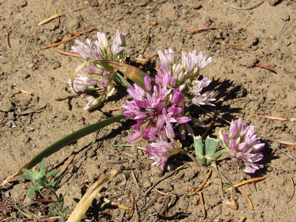
Siskiyou onion, one of the many endemics (plants limited to a specific area) found in the Siskiyou Mountains, that leaks over into a small area of the Cascades along the bridge provided by the Cascade-Siskiyou National Monument.

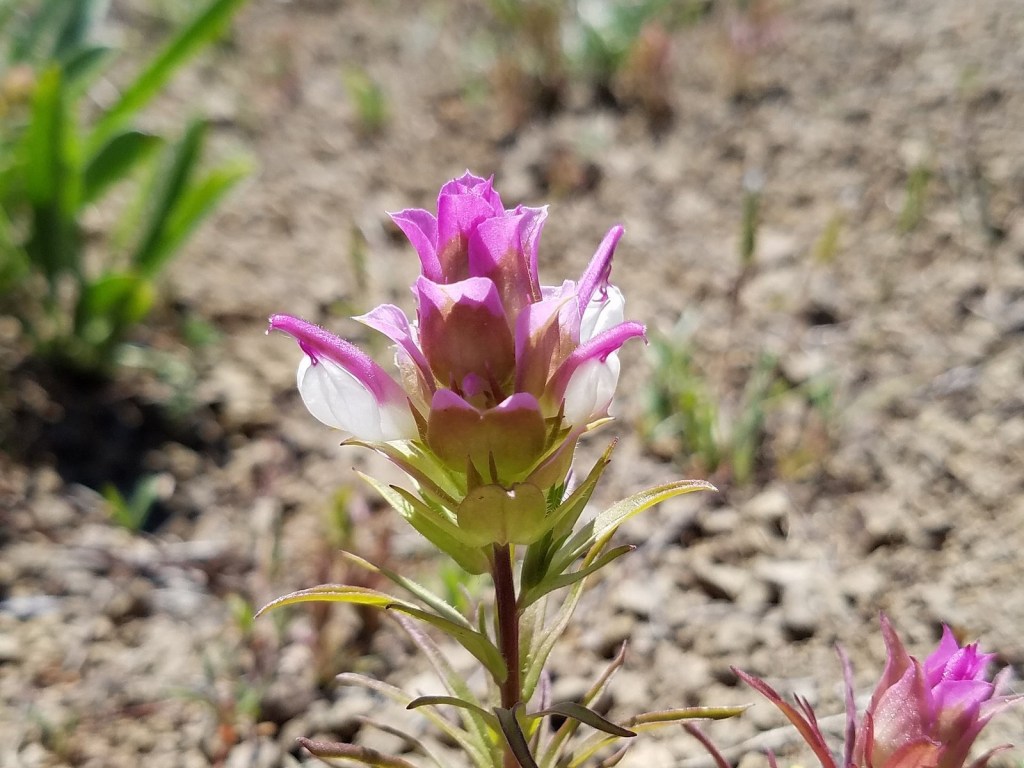
Copland’s owl clover, bridging the other way – from the Cascades to the Siskiyous.

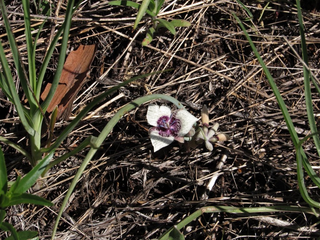
Elegant cat’s-ear lily, rare anywhere: it differs from the much more common Tolmie’s cat’s-ear by having pointed petal tips without hairs.

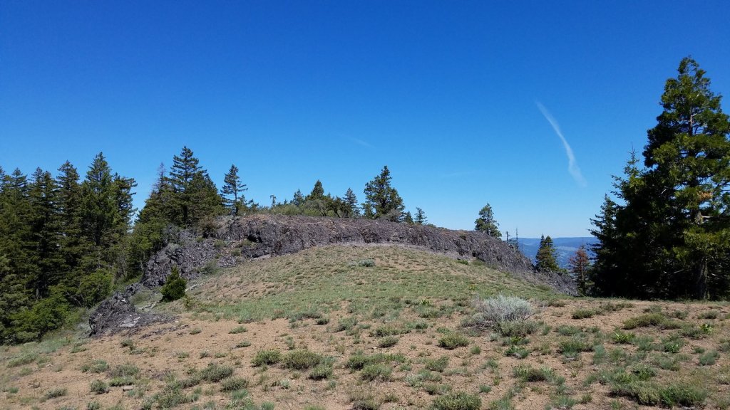
The summit of Porcupine Mountain is guarded by this 15-foot wall of basalt stretching all the way across the summit ridge. Easy enough to climb, but intriguing geologically.

Pilot Rock from Porcupine Mountain’s summit. That’s a mountain mahogany tree on the right.

About that supposed bugaboo of electric cars, range anxiety, by the way: we pulled into the garage at the end of this trip having used under 14 kwh of the 60 we had available. Just thought I should keep mentioning this….

The Saga of the Bolt and the bolt

Or the lag screw. Or the logging spike. Something long, sturdy, pointed, and probably made of steel. Whatever it was, it did a number on the Bolt’s left rear wheel, and after that it was – literally – all downhill until the wheel and tire could be replaced.

The trip had started out so nicely. We were on a two-day circuit of one of Oregon’s premiere waterfall routes: up the Rogue River to Diamond Lake, then down the North Umpqua to Roseburg, where we planned to pick up Interstate 5 for the 100-mile return to our home in Medford. The North Umpqua River, especially, is heaven for waterfall-lovers, with numerous falls both on the river itself and on many of its tributaries. So the plan was to spend most of our two days on the North Umpqua, with an overnight in a cabin at a small resort, roughly in the center of the most prolific group of falls, whose owner promised us access to an RV slot where we could recharge the car – the only place where it would make a difference that we were driving on electrons instead of gasoline.

All of this went according to plan – up to a point. That point came shortly before noon on the second day, and when it came, it came quite literally. I’ll save what happened before that for another blog post: here’s what happened then, and afterward.

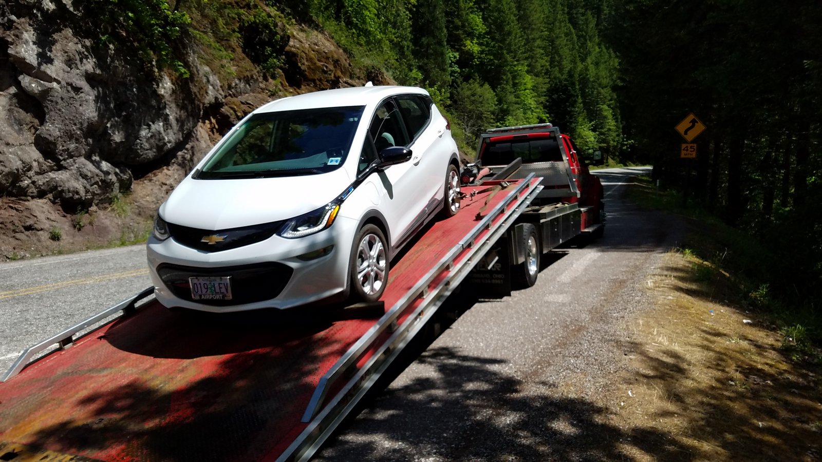
We were headed west – downstream – a few miles beyond the tiny community of Dry Creek. The road was dry and beckoning in the bright sunshine. You don’t rush down the curvy, gorgeous North Umpqua highway (Oregon 138) – not if you’ve got any aesthetic sense whatsoever – so I was doing about 45. We were discussing what falls we would visit that afternoon, and both of us had our eyes on the road. Suddenly there was a loud BANG! and a simultaneous jolt. I looked quickly at the tire-pressure warning light. It was glowing bright orange. The low-tire-pressure screen came on in the middle of the speedometer, and we could watch the pressure dropping. All the way to zero. Neither of us had seen anything on the road, and I couldn’t see anything in the rear-view mirror, either. I decided the tire must have spontaneously blown.

There was a cliff up from the road on the right, and a cliff down to the rapids of the river on the left. Absolutely no place to pull off. I turned on the flashers and kept going on the flat, slowly. Eventually, a small turnout appeared on the left. I crossed the oncoming traffic lane into it and pulled to a halt. And there we were. No cell service. No OnStar (General Motors’ emergency responding system) either. No way at all to get a message out for help.

Except the old-fashioned way, of course. The flashers were still on. I got out and lifted the hood, even though there was nothing wrong under there. Cars continued to zip by. I tried a tentative wave – and the first of several angels we were to encounter that afternoon slowed quickly and pulled in beside us. Wearing camos and driving a new 4-wheel-drive pickup so big I had to look up to talk to him through the driver’s side window – and I’m six feet tall. The woman beside him looked concerned. So did the angel. “You got a problem?” he asked.

I explained the situation. The angel checked his phone. “I don’t have service, either,” he said. “I usually have it at Dry Creek. Who do you want me to call?” We settled on calling a tow truck; he drove his truck around the car on the river side – where I didn’t think there was room – and they wheeled on up the road.

Fifteen minutes later, they were back. He handed me a card for Roseburg Towing – where he got it I have no idea, unless he always carries them. “I called these people,” he said. “There’s a truck on its way. I made sure they sent one you can ride in with the driver.” He drove around the car on the river side again and disappeared back up the road. I turned off the flashers and closed the hood, and we settled down to wait.

It took an hour and a half, but a flatbed tow truck finally arrived, piloted by a wiry young man named Jack who might have been at least part Native American. He loaded the car onto the back and us into the cab, and we settled down for the long ride down to Roseburg. Jack had a quick smile and a gift for keeping conversation going – clearly another angel in disguise. If I’d had any doubts on that point, they evaporated when he told us he wasn’t going to drop the car until he was sure it was at a place that had our rather rare tire in stock, or at least a workable substitute. It took him three tries, in various parts of Roseburg. Finally, at the local Big O tire store, our third angel – Chad – assured Jack (and us) that he’d find a way to get us home to Medford. Jack carefully set the Bolt down, accepted my signature on the Visa slip and our profound thanks, and drove off.

Chad frowned at the tire. “I’m pretty sure you hit something,” he said. “I don’t think it just blew. These low-rolling-resistance tires are supposed to always be replaced by the same thing. We don’t have one, and we can’t get one in until Wednesday. But this is an emergency, right? We’ll put a regular tire of the same size on, and that’ll get you home. Might affect your range a bit.” He told us it would take about 30 minutes. It was already 4 pm.

Fifteen minutes later, he was back – rolling the defunct tire on its wheel. “I’ve got some bad news,” he said. “The wheel is cracked.” He pointed to a big pimple on the inside of the wheel, clearly made by a blow from something hard and sharp on the wheel’s road side. Bolt? Lag screw? Spike? Whatever it was, was long gone. “Usually, it’ll stay in the tire,” Chad said. “This is really weird. I can’t put a tire on this wheel, and I don’t have any wheels in stock that will fit. But I do have a buddy who works for the Chevy dealer. I’ll call him and see if there’s anything he can do.”

And that’s where Angel No. 4 comes into the story. I never met him, or learned his name, but we have him to thank for coming up with – and implementing – the only solution that could possibly have worked, short of waiting through Memorial Day weekend in Roseburg. The dealer had nine new Bolts on the lot. If we wanted, he would check to see if he could take a wheel off one of those and sell it to us. They’d replace it with the tire and wheel that would have been ordered for us, using the money we would have spent on the order.

“It won’t be cheap,” Chad said, relaying the message. I no longer cared. “Do it,” I said.

45 minutes later, we were on our way. The car rolled nicely, and the late-afternoon sun was warm. The pressure gauge for the left rear tire still read zero, but Chad assured us it would come up as soon as the car figured out it was dealing with a new sensor. Which it didn’t, but that was a minor thing. By 7 pm, we were home. I cracked a beer in honor of our four angels.

I’ve tried since to figure out why we didn’t see whatever it was that was waiting in the road to do the tire in. The only thing I can think of is that it was lying end-on to us, and was close to the color of the pavement. Such a small thing could easily go unnoticed. The front tire, running over it, must have flipped it up; the rear tire then impaled itself. Drag on the object’s head by the pavement would pull it back out of the hole, and it would be end-on and invisible again.

Whatever it was, and however, it had happened: after looking at the wheel, I could no longer blame the tire. Tires are the Bolt’s weak spot, but this time it wasn’t their fault. It could have happened to any car. This time, it happened to us.

And there is one more thing that should be reported: it’s a bit woo-woo and not easily explained, so I’ll just state it without comment. Ten minutes from home, my phone rang, and I picked it up via the car’s Bluetooth. It was my sister, Judith. I told her I was driving; she said I could call back, and hung up. When I reached her later and explained what had happened, she seemed unsurprised. “I was just calling to check on you,” she said. “I had a sudden feeling that you might be in trouble. It had something to do with your car.”

OK, maybe two words of comment. Fifth angel. I’m a rational person, not given to speculating about ESP and New-Age psychic phenomena, so I’m just going to leave that thing right there.

The Bolt being loaded onto the tow truck on the North Umpqua Highway.