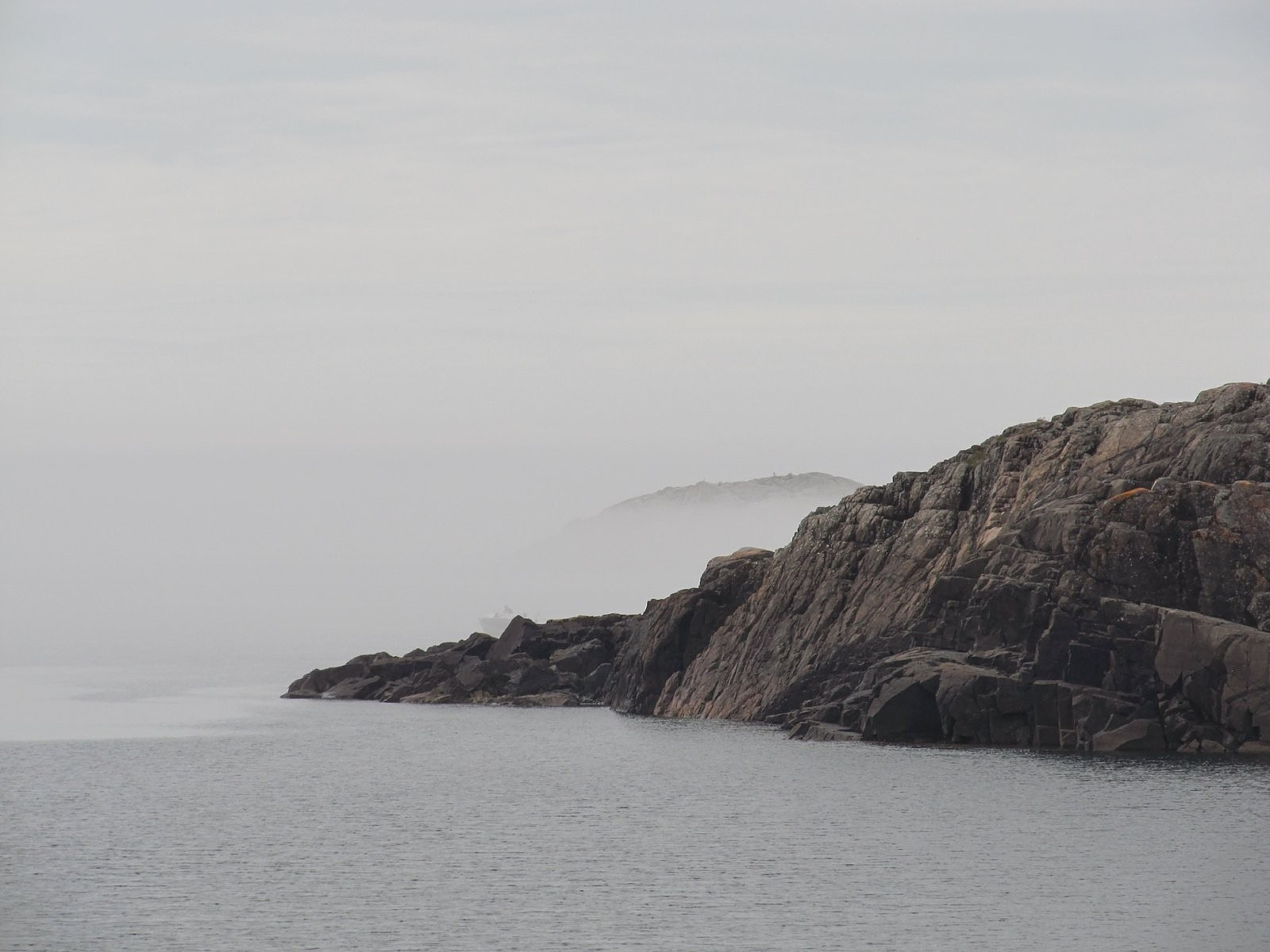
The Canadian shore of Lake Superior, all 1500+ miles of it, is made of granite. Canadian Shield granite, among the oldest and toughest rocks on the planet. The continental glacier ground across this broken landscape two miles thick, back in the Pleistocene – 570,000 pounds of ice per square foot – and it still couldn’t do much more than sand off the edges.
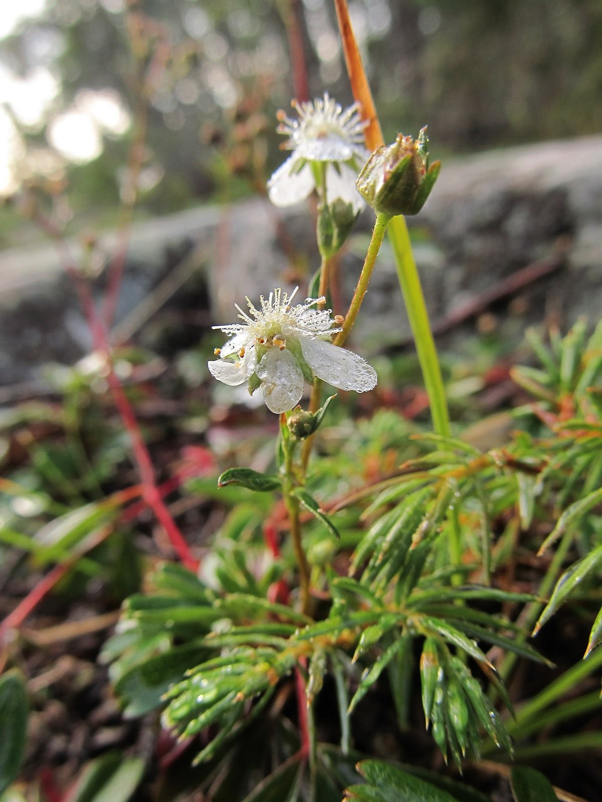
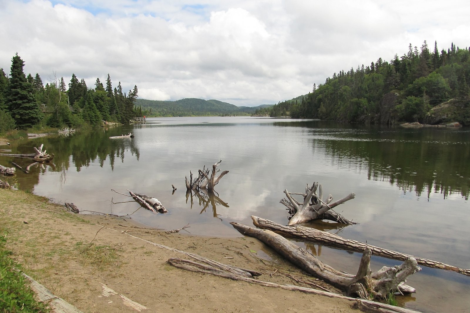
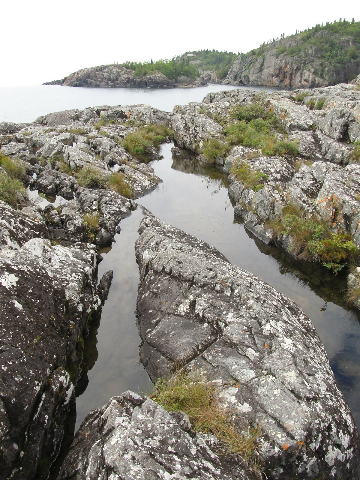
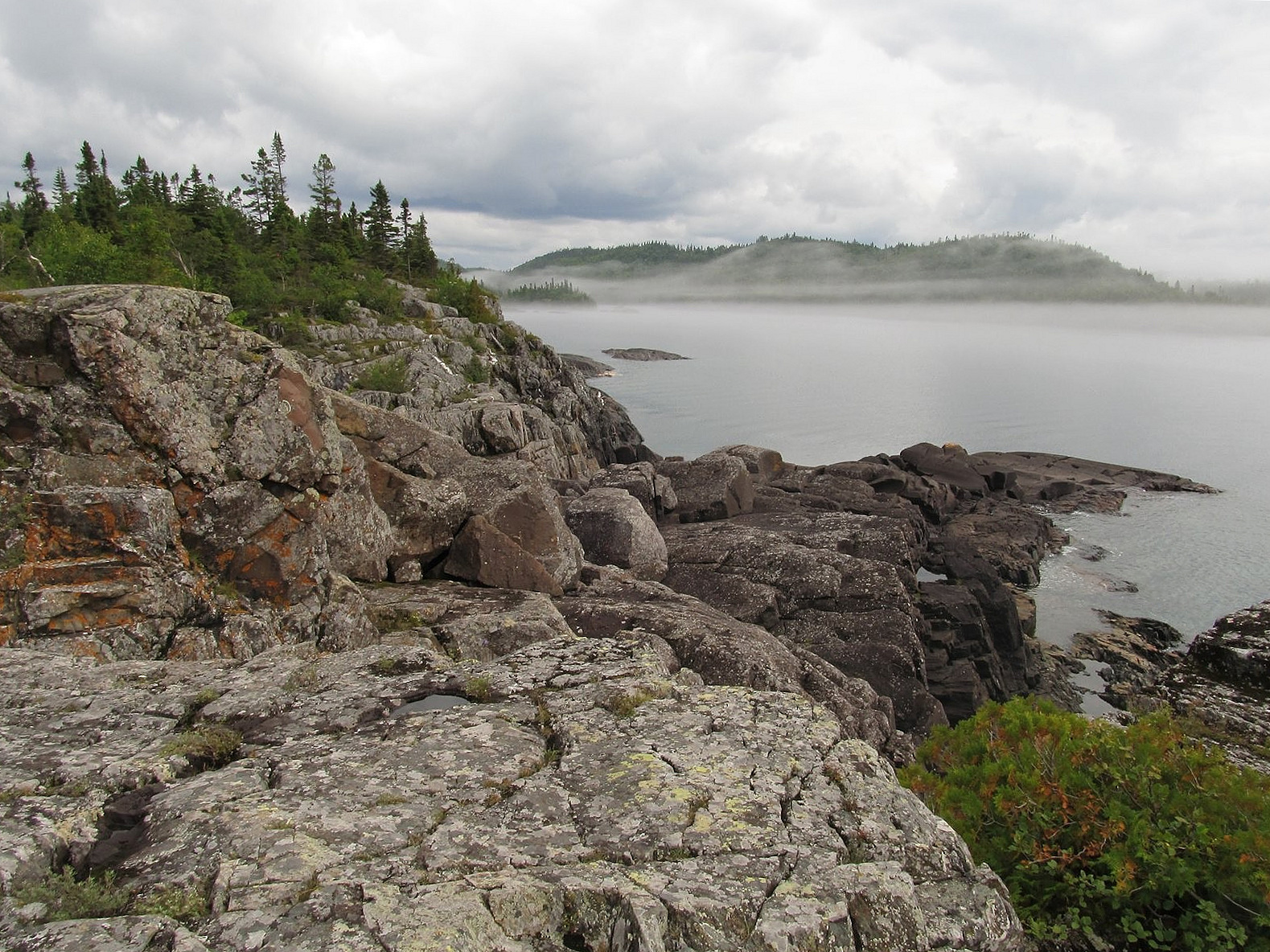
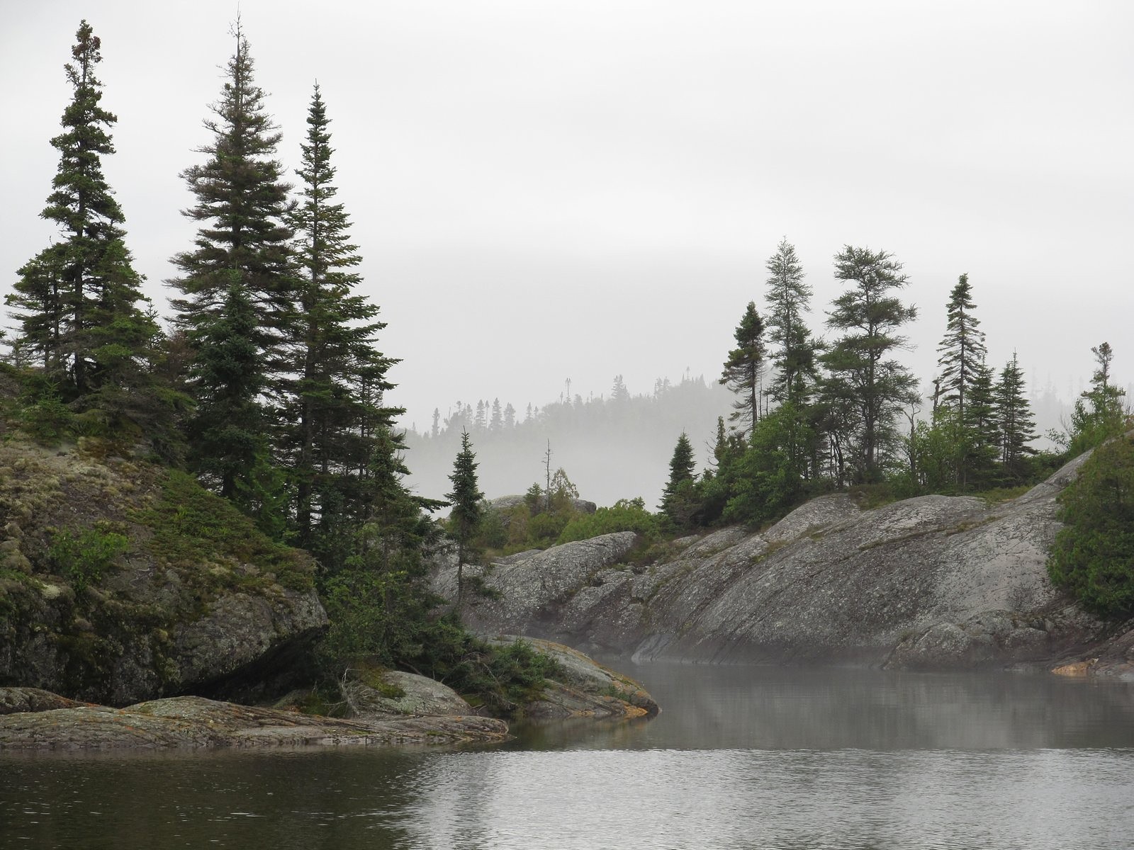
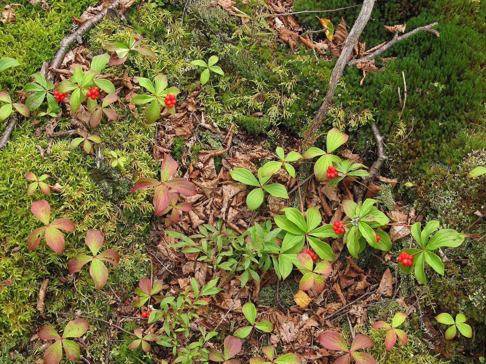
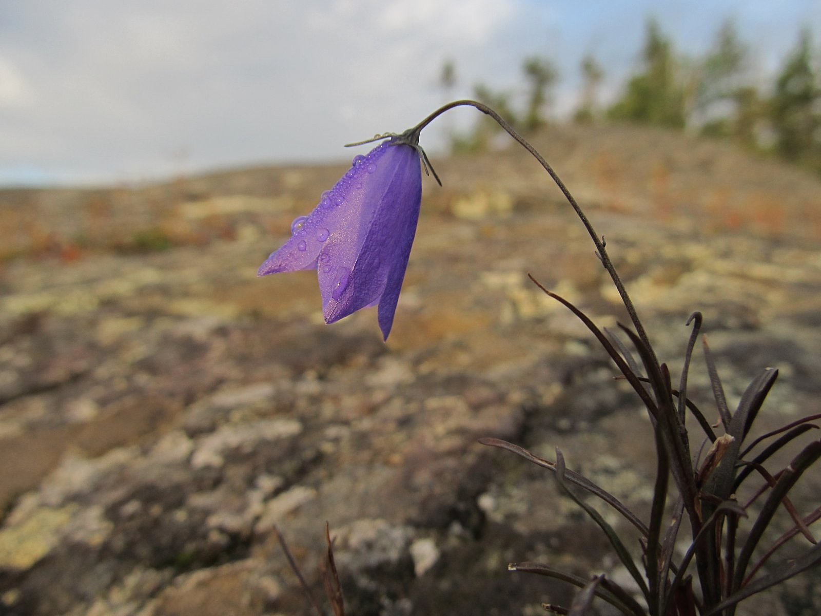
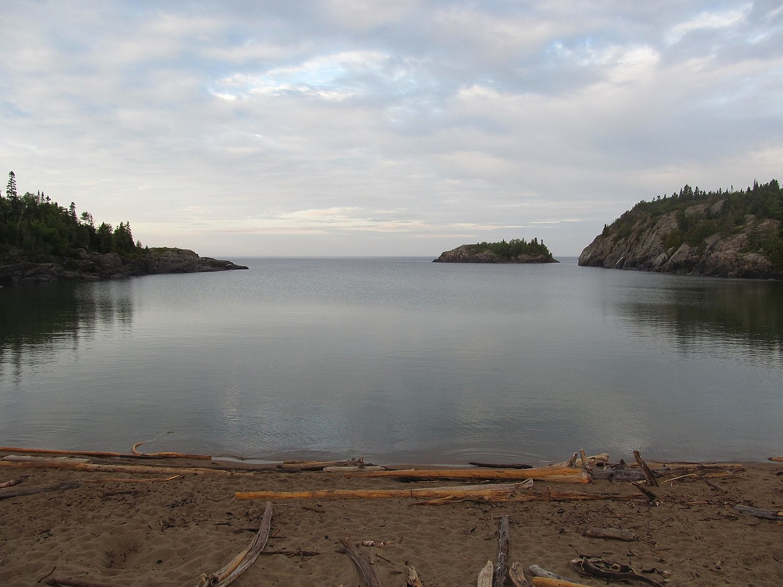
What the glacier couldn’t cut away is today one of the most spectacular waterscapes in North America. Smooth gray cliffs plunge into clear water that stretches to a wide, oceanic horizon; a maze of intricate coves, headlands, and islands competes for your attention with small inland lakes and occasional beaches of coarse tan sand. Wildflowers and conifers find tentative footholds. The land is so rugged and the rock is so hard that the section of the Trans-Canada Highway along Superior’s north shore wasn’t completed until 1960, and to get it done at all required a large loop inland between the small communities of Wawa and Marathon. That left over 100 miles of Superior’s finest shoreline scenery completely untouched. In 1978, 70 miles of that shoreline and over 700 square miles of the adjacent inland area were set aside as Pukaskwa National Park.
There are still no roads along the Pukaskwa shore; if you want to see very much of it, you must either walk or kayak. However, there is now a road down the Pic River, at the northern boundary of the park, where drivers can touch the shore at one spot. The park’s visitor center is at the end of that road, on a granite-cupped Lake Superior embayment known as Hattie Cove. Beside the visitor center is a small campground, and fanning out from that are two trails onto a pair of the Pukaskwa’s spectacular granite headlands; an interpretive trail around a small inland lake; a short beach trail; and the northern terminus of the still-incomplete Lake Superior Shoreline Trail. So remote is the area, and so little known is the park, that the campground’s 67 sites rarely fill completely even at the height of the summer travel season.
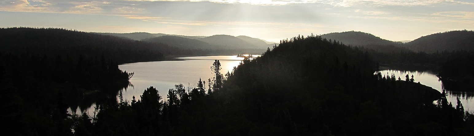
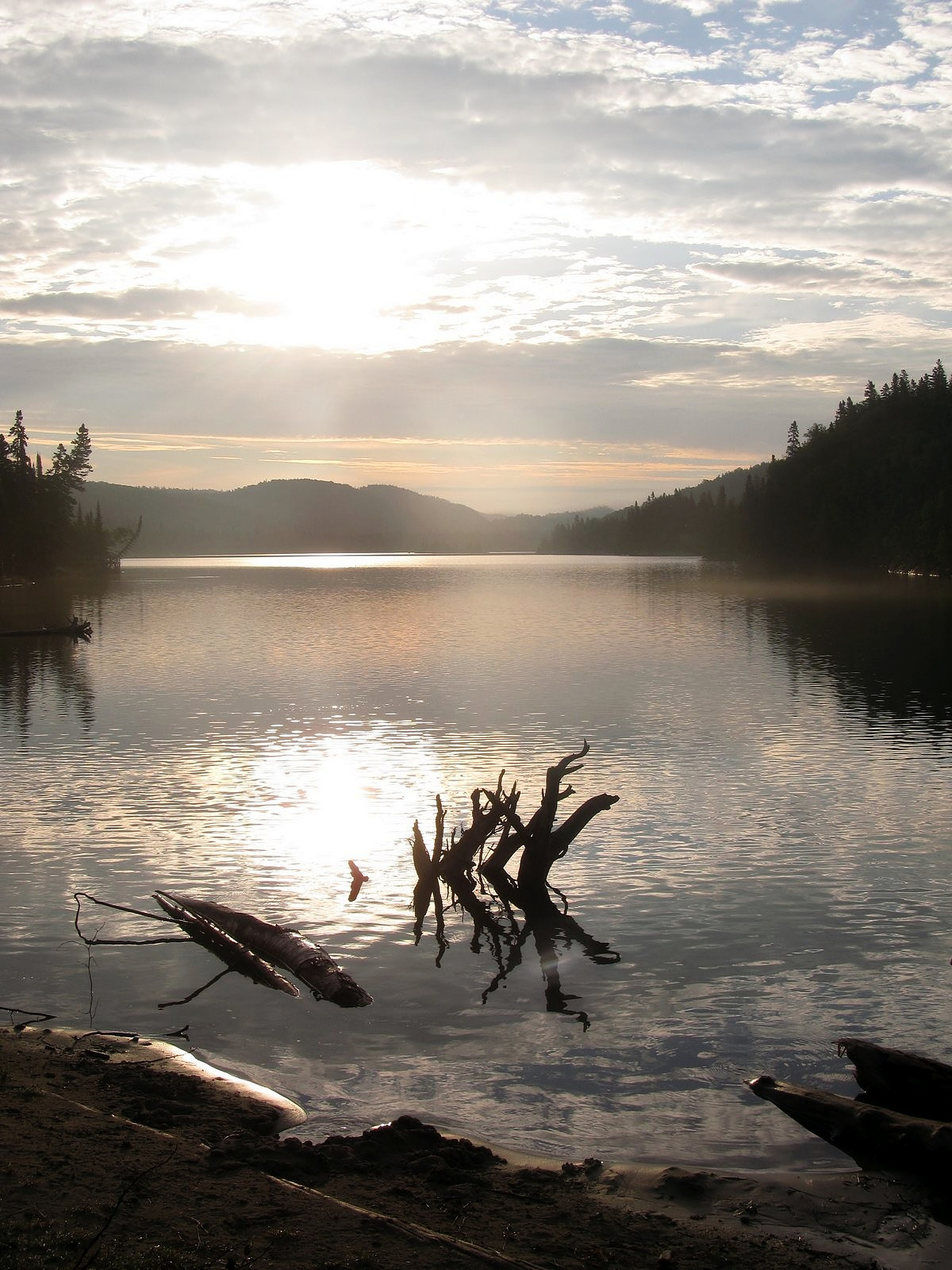
Melody and I arrived at Hattie Cove around 3 PM on a Friday afternoon in late August, 2014. We had our pick of the sites; the campground was only about half full. We were driving a Chevy Volt at the time – an electric car with a short battery range but an onboard gasoline-powered generator that could supply electricity to the motor when the battery ran out – so we chose a site with electrical hookups, plugged in, and went for a hike. We took a second hike the next morning, in one of the prettiest sunrises ever, before pulling up stakes with the battery not quite full and heading back to the Trans-Canada. These pictures, with captions, will let you see some of what we saw. Enjoy your visit.
Oh, and the name? It’s pronounced PUCK-uh-saw. Don’t ask.