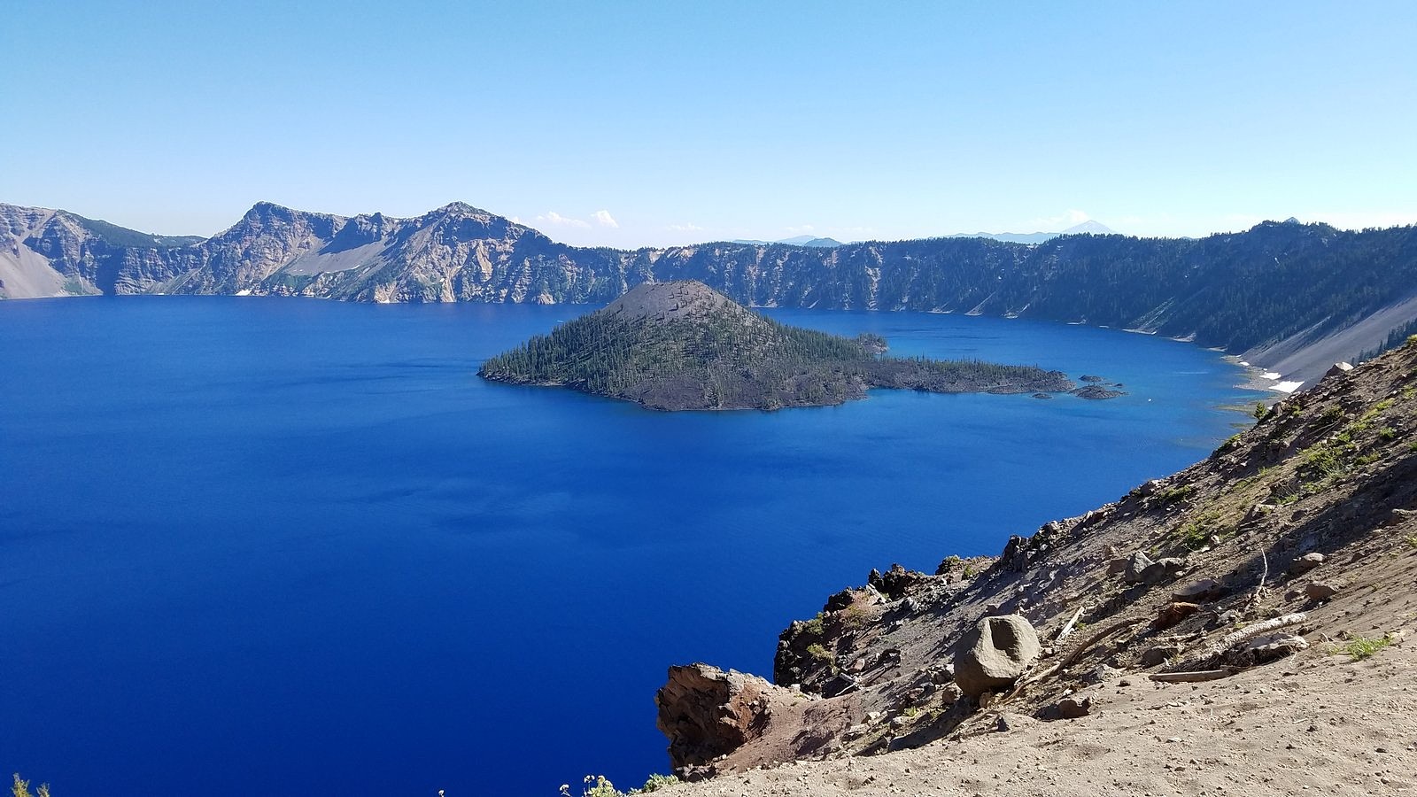
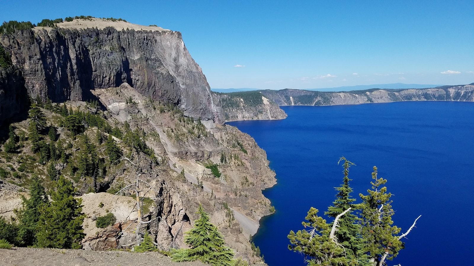
Wizard Island from the overlook at the junction of Rim Drive and the North Entrance Road.
ON July 31 – the day before I was due to turn 77 – Melody and I spent a full-day touring Crater Lake National Park. We’re lucky to live less than 80 miles from this spectacular park, whose creation year (1902) puts it among the oldest national parks in the world, and we’ve been going there several times each year since 1970. We haven’t tired of it yet. I don’t think we ever will.
This particular trip was primarily planned because smoke from the Milepost 97 fire near Canyonville, Oregon had made the air unhealthy in many of the places we usually go, but had largely bypassed Crater Lake. But I’ve also been wondering, ever since we got the Bolt, how it would fare on a full Crater Lake day. We’d taken it to the Rim Village overlook and back (see https://drivingonsunlight.net/2019/05/06/the-story-so-far/), but the park includes much more than Rim Village. There is a road – Rim Drive – all the way around the rim of the caldera that holds the lake, with side roads to several other points of interest, including one of the highest spots reachable by car in the entire state of Oregon. Since buying the Bolt in December, I’ve preached that an EV is perfectly adequate for all uses anyone would normally put a car to. Taking Rim Drive its entire length, plus as many of the side roads as we could fit into one day, would add many extra miles over our previous visit; but for outdoor enthusiasts such as us, it would certainly qualify as “normal use”. How would the Bolt’s battery hold up?
So let’s deal with that question, first. We left home with less than a full battery – we usually charge to 95% instead of 100% (there are reasons), and I forgot to make my usual adjustment for longer trips. I drove the 72 highway miles between Medford and Crater Lake as I have always driven them, a few miles over the 55 mph speed limit, with bursts up to 75 and a bit over for passing out-of-state tourists gawking at the big trees. We covered almost every road in the park (we left out only the road from Rim Drive to the north entrance, and the last few miles of the road to the Pinnacles, neither of which we had time for) – a total distance of 195 miles. We got home with 30% of the battery remaining, and 103 miles left on the range indicator. If you have had any doubts about an electric car substituting perfectly for a gasoline car in all normal circumstances, please lay them aside.
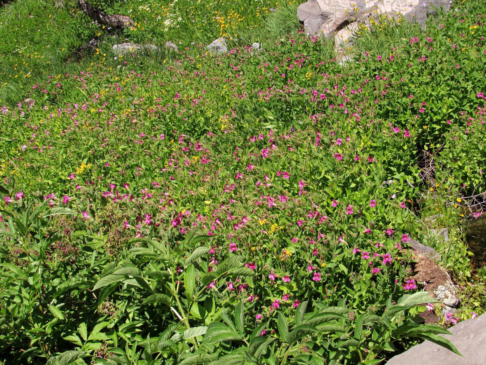
Wall-to-wall flowers in the Castle Crest Wildflower Garden
Otherwise, the trip was a mixed bag. We got to Mazama Village, where we had planned to have brunch, just as the breakfast line was closing. (We were standing by the counter preparing to order when they suddenly announced that breakfast was over and took all the food away. We were the only ones waiting.) The small collapsible tripod I was carrying to try out for flower photos kept pinching me, leaving me with a blood blister on one hand and a cut thumb on the other. I left my camera bag behind at one stop (the camera wasn’t in it, so I lost only my spare camera battery and cleaning cloth, but still…). But the scenery and the flowers overwhelmed all of that. Looked back on, it was a simply glorious ten hours. Enjoy the pictures. You can follow the course of our day in the captions.
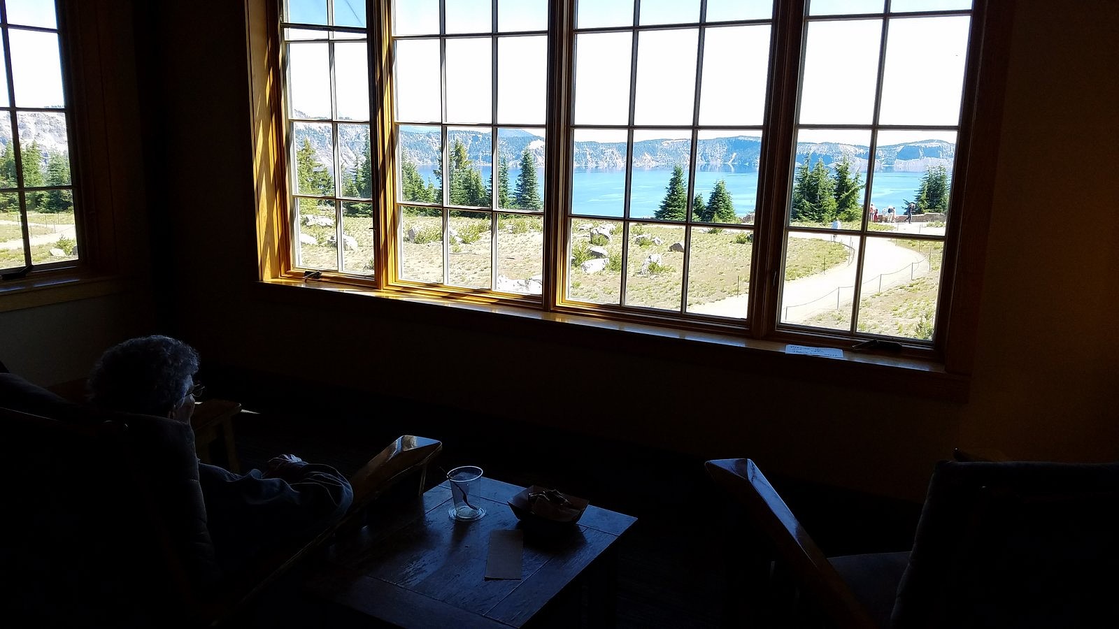
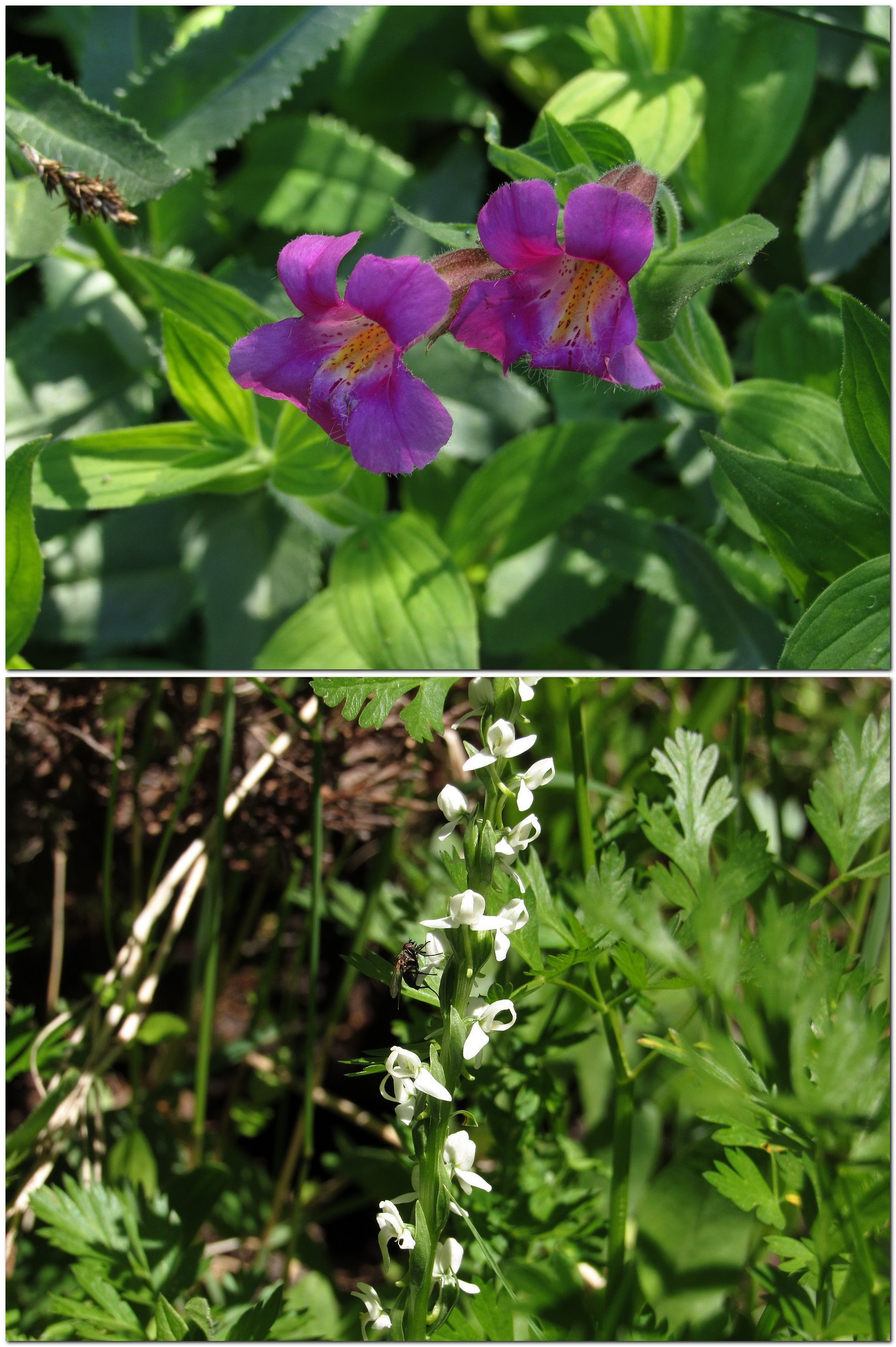
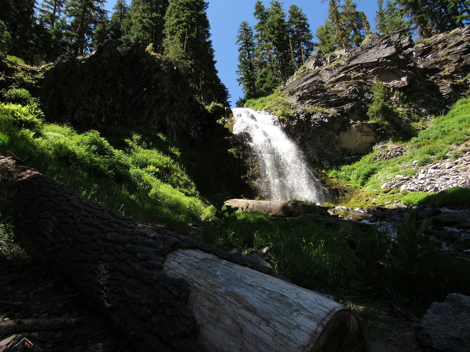
Melody enjoying the view of the lake from the upper floor of the snack bar/gift shop in Rim Village. We put together a brunch from the snack bar and ate it here, looking out over the lake.We took Rim Drive counter-clockwise, which put us at the Castle Crest Wildflower Garden first. This is not a tended garden, just a trail past a set of springs emerging from the base of Castle Crest. The upper picture is Lewis’s monkey flower; the lower is a white bog orchid. See also the picture inset into the last paragraph of the text.Vidae Falls – our next stop.
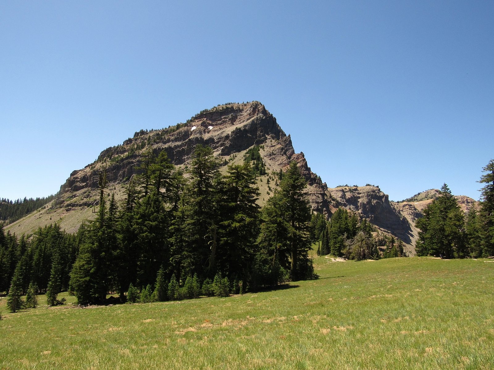
The short trail to Sun Notch is probably my favorite in the park, and leads to a wonderful view of the lake. This is Applegate Peak from the Sun Notch meadow. The rim is marked by the line of trees at right.
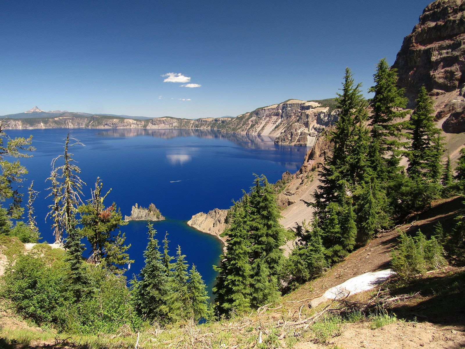
The lake from Sun Notch, with the Phantom Ship front and center. You can see why the first Europeans to stumble upon the place, in 1853, named it Deep Blue Lake.
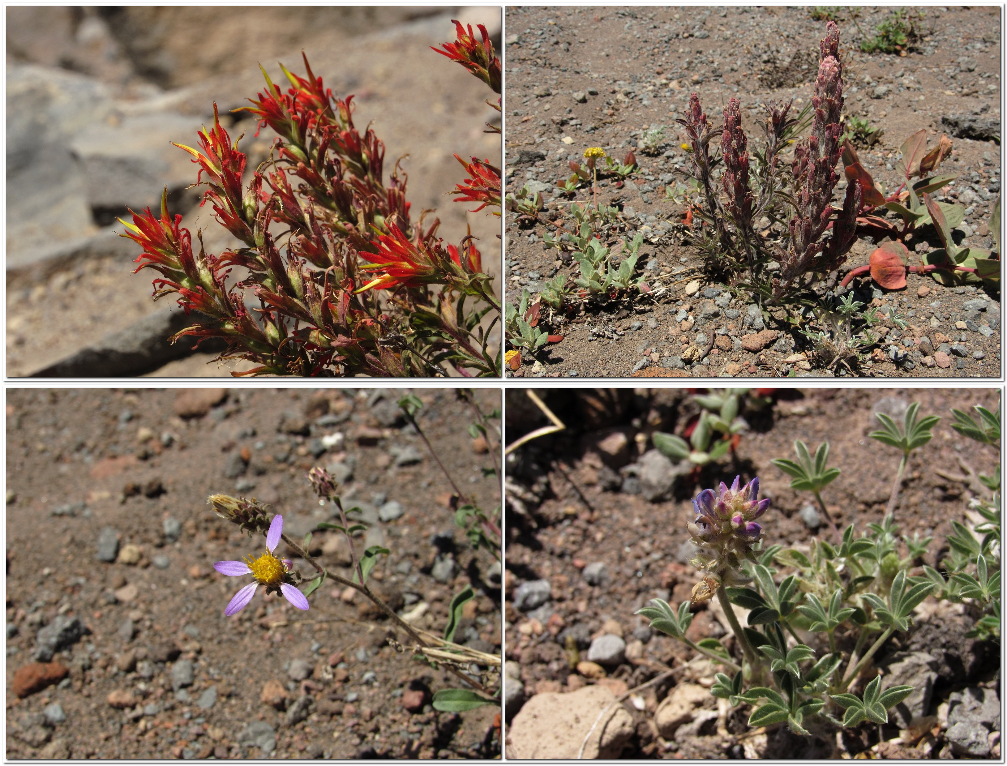
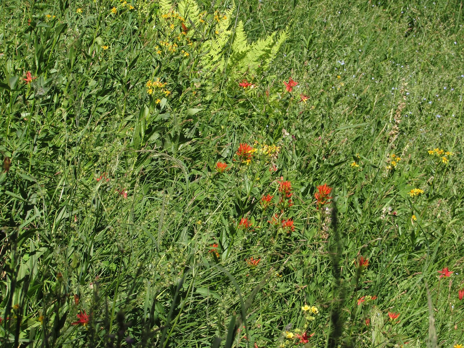
Where the Rim Drive crosses Dutton Ridge a mile or so beyond the Sun Notch parking area, it reaches its highest point (though not the highest point reached by road – keep reading). The flowers here are characteristic of alpine and subalpine areas. Clockwise from upper left: Applegate’s paintbrush, pumice paintbrush, dwarf mountain lupine, Cascade aster. Pumice paintbrush is found only high on volcanic peaks in the Cascade range.Plaikni Falls is the destination of a relatively new trail off the side road to the Pinnacles, east of the lake. The flowers here are similar to those found at Castle Crest.The red flowers here are of two different and unrelated species, western columbine and scarlet paintbrush. The yellow is arrow-leaf groundsel; the blue (upper right corner) is Jessica’s stickseed.
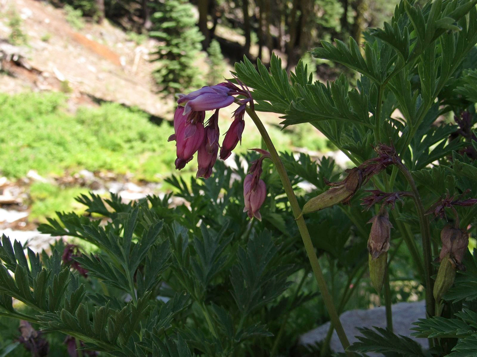
Bleeding heart at Plaikni Falls.
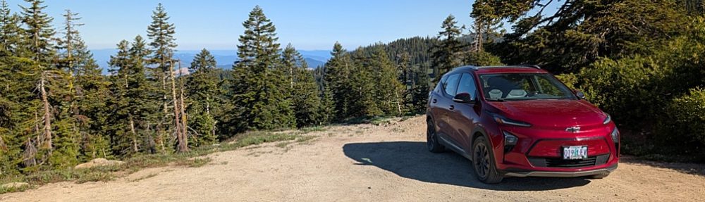
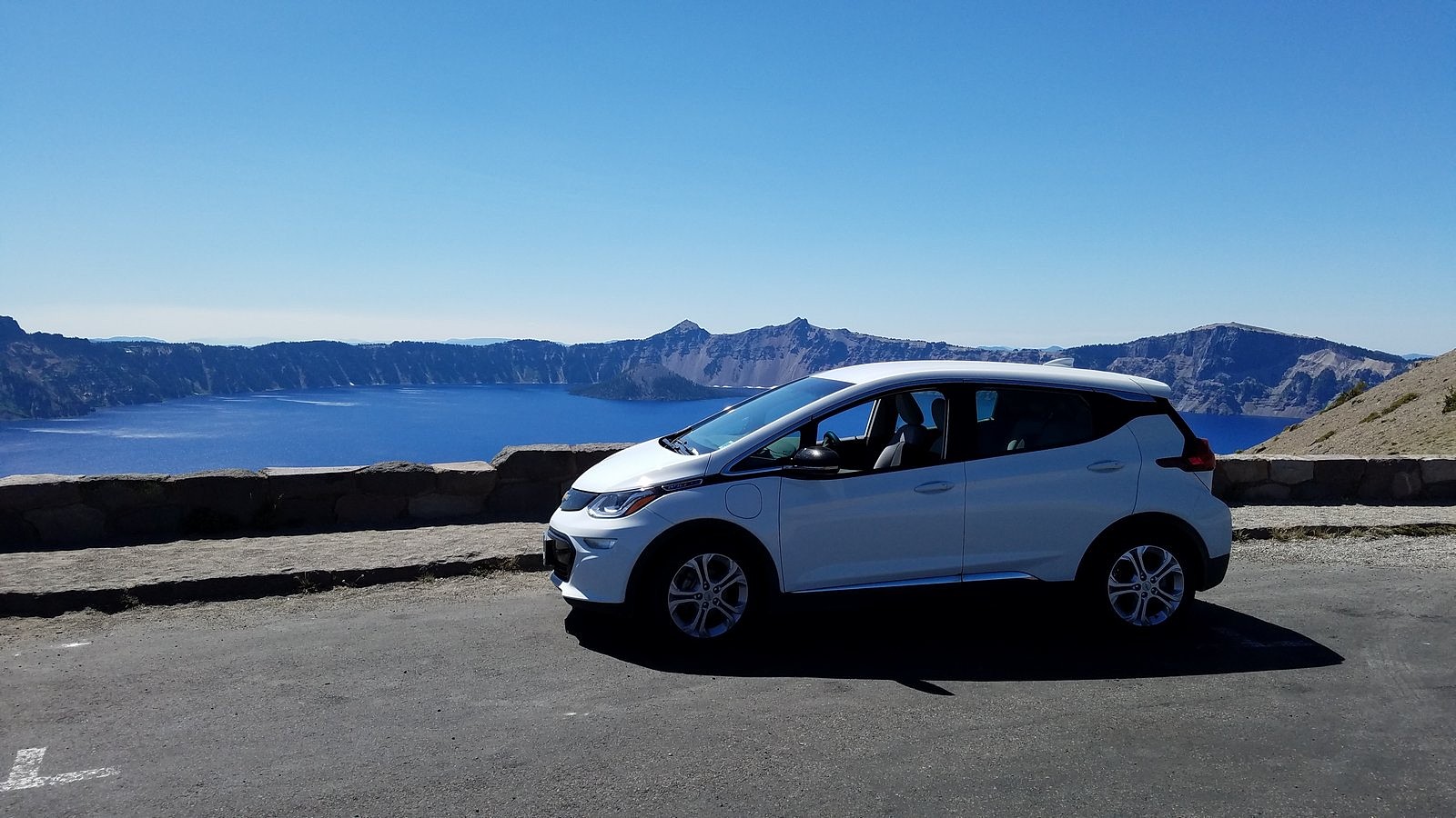
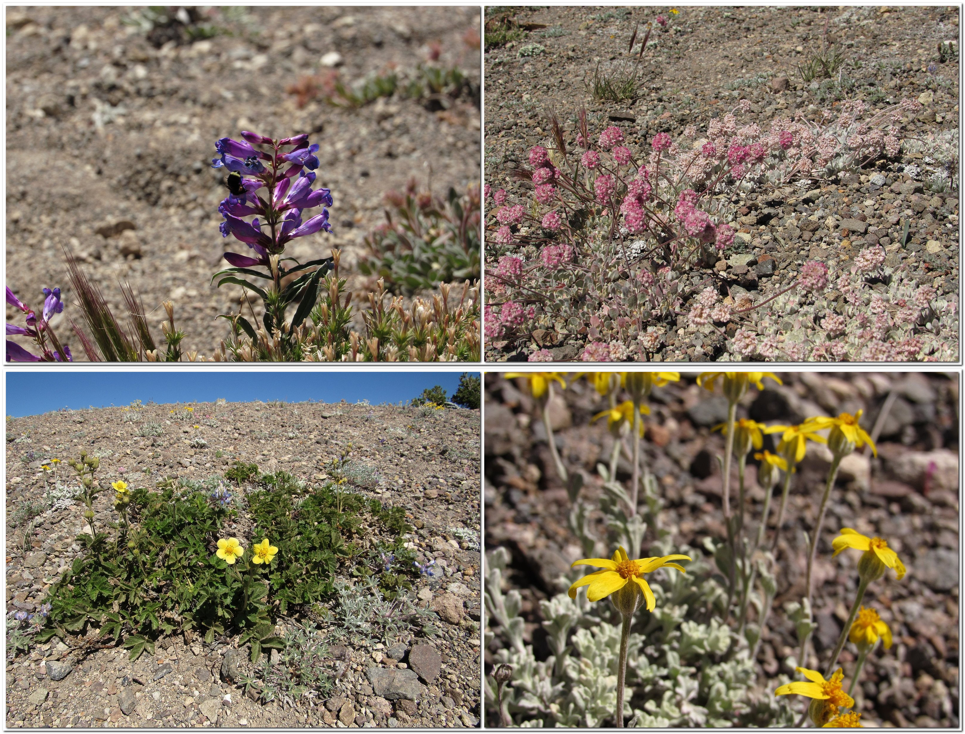
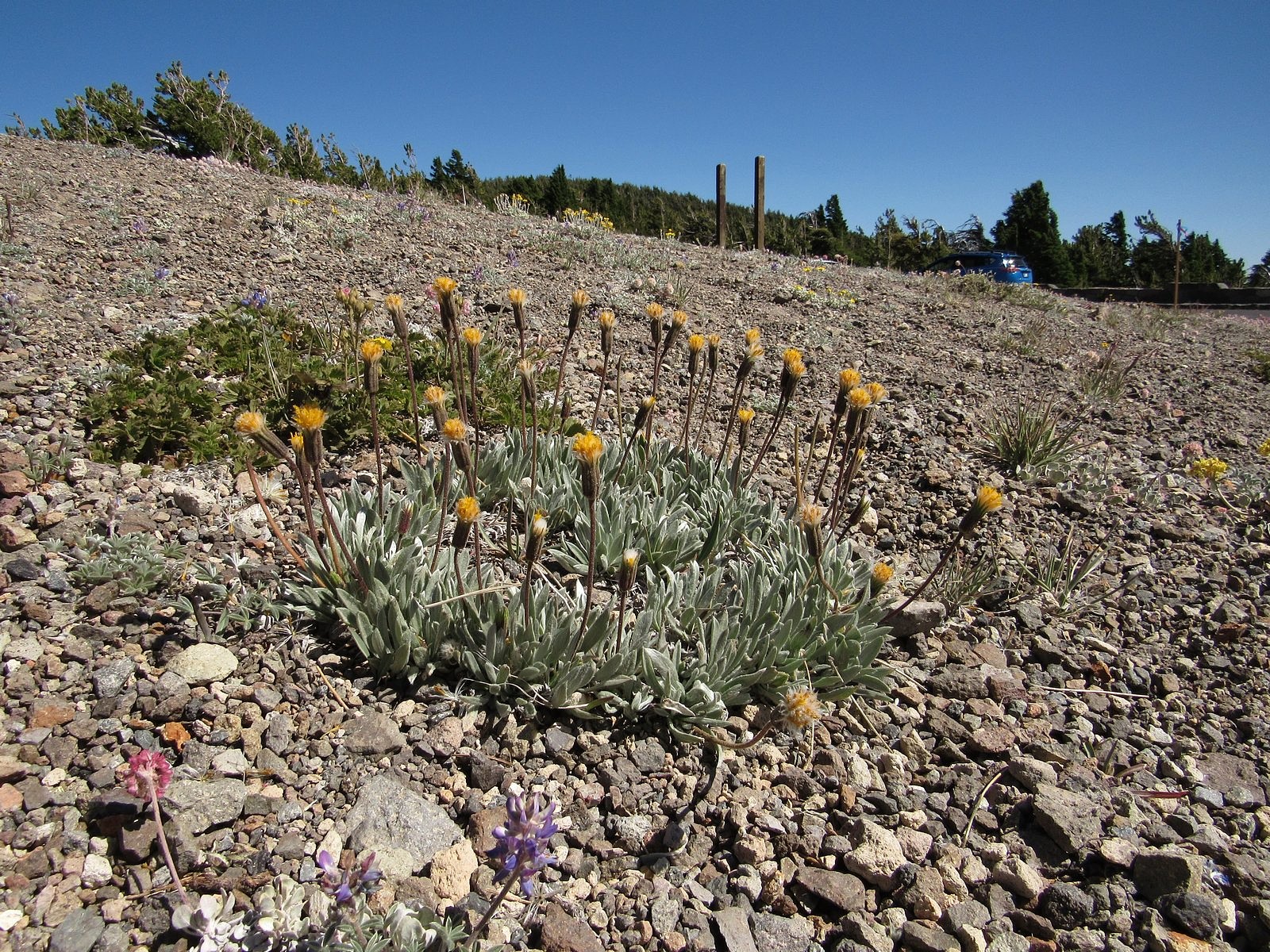
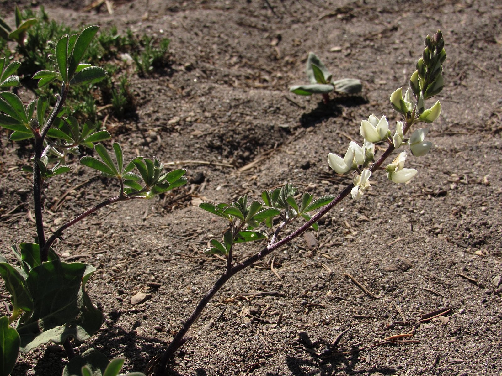
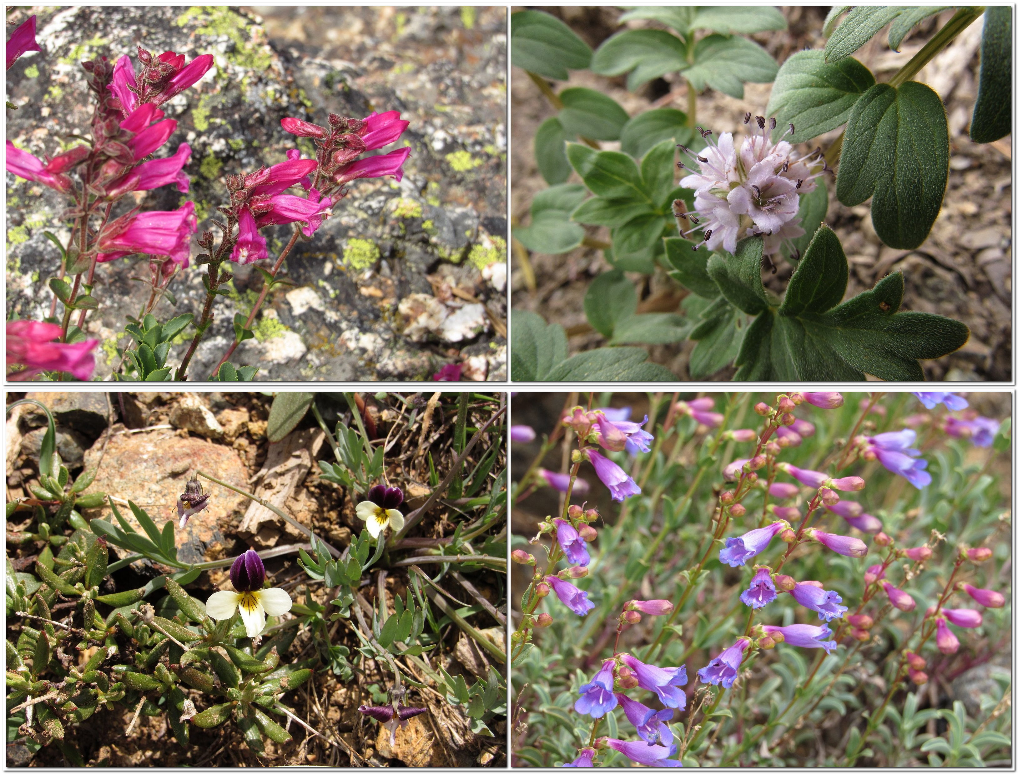
The highest point reachable by road in the park is the Cloudcap Overlook, at the end of a side road from the northeastern section of the Rim Road. Elevation here is 7960 feet. Naturally, I had to get a shot of the Bolt in the parking lot. For an unencumbered look at the view, see the photo at the head of this post.Flowers at Cloudcap are decidedly alpine. Clockwise from upper left: royal penstemon, cushion buckwheat, woolly senicio, and Ashland cinquefoil, .Silver raillardella is rare in Oregon; it’s found primarily in the high mountains of California and western Nevada. This one was growing by the Cloudcap parking lot.Our last extensive stop was at the Merriam Point overlook, at the junction of the North Entrance Road and Rim Drive. It features a stunning view of Llao Rock.One last flower shot: Anderson’s lupine in its white phase, photographed at Merriam Point.
What it’s really like to take an electric car on a road trip.
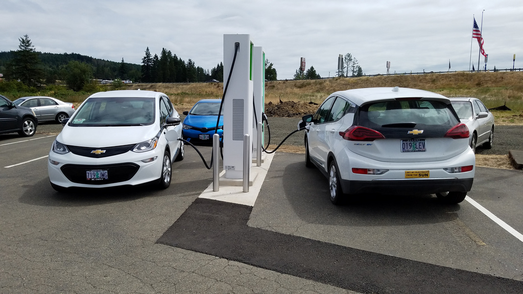
At the charger in Sutherlin – not the first time we’ve shared a set of charging stations with another white Bolt. Ours is the one on the right, with its back to the camera.
I’m one trip behind on hike reports, but I thought I should do this first. We’ve just returned from a week in McMinnville, Oregon – a small town near Portland, 250 miles from our home in Medford. That is a “maybe” distance for an electric car: maybe we could make it all the way if we start with a full battery, but maybe not. So prudence dictated a refueling stop each way, as well as at the destination. And because the process of refueling an electric car on the road is broadly misunderstood, it seems useful to try to clear up some misconceptions by describing exactly how it worked on this particular trip.
One caveat: it is still necessary to plan carefully. This has nothing to do with the actual recharging process, and everything to do with the state of the charging network. There are gas stations just about everywhere, but charging stations are still few and far between. I dream of the day when there are charging stations on every corner and it’s the drivers of gasoline vehicles who have to plan, but we have to deal with reality. I had to choose in advance where to stop along the way, and I made reservations far ahead in the single reasonably-priced motel in McMinnville that has a charger in its parking lot.
Once that part is out of the way, though, the rest is easy. It is actually simpler to charge an electric car’s battery than it is to fill a gas tank, and it takes less time out of your trip. Let me repeat that: it is actually simpler to charge an electric car’s battery than it is to fill a gas tank, and it takes less time out of your trip. The horror stories you hear about how dreadfully long it takes to charge are probably true for the people who experience them, but they result from failure to understand that charging a battery is not like filling a fuel tank. It’s a different process, and requires a different way of thinking.
With a gasoline car, the usual procedure is to run the car until the tank is nearly empty, then pull into a gas station and fill all the way up. While it’s filling, you stay with the car. If the gas station is also a convenience store, you may run in to buy a bag of potato chips or a cup of coffee to go; otherwise, you just wait for the ten or fifteen minutes it takes the tank to fill. With an electric car, that model simply doesn’t work. You’re rarely going to fill the battery all the way up – that’s not even a good idea (doing it regularly can shorten the battery’s life). And you don’t need to stay with the car. While the charger is doing its thing, you can be off doing something else. Here’s how that works – actual experience, on our trip that ended yesterday.
PLANNING: I started by trying to find out whether we would be able to charge the car in McMinnville. The best tool for this is the Plugshare website (plugshare.com), a crowdsourced site that attempts to map and describe every public charger in the country. We would be spending the first two nights in a motel before moving to a dorm on the Linfield College campus, so I looked for motels with “destination chargers” – level 2 (220-240 volt) chargers located at places where you expect to stay a long time, such as overnight. McMinnville’s Best Western had such a charger. I called to see if we could reserve it; the answer was “no”, but the woman I spoke with said it was rarely used. That seemed satisfactory. I booked a room.
Next, I visited A Better Route Planner (abetterrouteplanner.com), a routing site designed specifically to help electric-car drivers find the most efficient routes for long-distance travel. It suggested a charging stop in Sutherlin, a small town just north of Roseburg, to boost the battery up to 71%. That, it said, would be enough to reach McMinnville with about twenty miles to spare. Estimated time on the charger would be 13 minutes. I checked out the Sutherlin charger on Plugshare and found it had a 10-star rating (out of 10) and four charging stations, which meant we could probably count on getting the charge started immediately. It was also next to a Dairy Queen and near a Starbucks. I penciled it in. Planning was complete.
THE TRIP NORTH: The night before our departure, I reset the top charge on the Bolt from 95%, where we usually keep it, to 100%. That would be insurance against broken or full chargers. As I backed the fully-packed and fully-charged car out of the garage the next morning, I noticed that the range indicator said we had 307 miles, which would get us to McMinnville with more than 50 miles to spare. That, of course, was based on running around Medford, rather than dashing a couple of hundred miles at freeway speeds with the air conditioner on. We decided to stop at Sutherlin anyway.
The drive went smoothly. At Sutherlin I plugged in, inserted my credit card, and had electricity flowing into the car in about a minute and a half. We had nearly 60% of the battery left, so we decided 10 minutes of charge would probably do. We slipped into the Starbucks, and those 10 minutes stretched to nearly half an hour, giving the car an 83% charge. I unplugged – about a 30-second procedure – and we headed for McMinnville, taking the shorter but slower Territorial Highway instead of the freeway route that A Better Route Planner had suggested. That got us to the McMinnville Best Western with 100 miles of range left. The charger’s parking slot was empty and the charger was a SemaConnect, for which we carry a charge card. Plugging in and starting the juice flowing took all of about 45 seconds. We would wake up the next morning with a full battery. It would take about 5 seconds to unplug.
THE TRIP SOUTH: We didn’t use the car much for the five and a half days we spent in McMinnville, so we didn’t bother charging again. Pulling out of town in the early afternoon, I noticed that we had a 95% charge – plenty to get back to Sutherlin, where we stopped and plugged in again. The charger told us it could get the car back up to an 80% charge in 40 minutes. It was just before 5:00 PM, so we went to the Dairy Queen and grabbed a meal. We finished eating with about ten minutes left of the estimated 40. The battery was up to 74% – more than enough to get to Medford – so I stopped the charge and unplugged. We changed drivers and Melody drove us the 110 miles home, at freeway speeds, with the A/C on and the outside temperature hovering above 90°F. We pulled into the driveway with 77 miles of range left.
ANALYSIS: Adding up the various plugging and unplugging times, you’ll find that we spent under five minutes charging the car. The car actually charged much longer than that, of course, but it’s really our time that counts, and while the car was charging, our time was spent doing things we would have done anyway. I wanted to stop for coffee, anyway; we would have slept in the motel all night, anyway; we would have made a dinner stop someplace on the way home, anyway. By combining those stops with charging, we had actually saved time over what it would have taken us to fill a gas tank twice. Or even once.
So that’s what it’s really like to make a 500-mile round trip in an electric car – a car that is as capable as any vehicle I’ve ever driven, and more fun than most. And it’s probably worth adding that the Bolt’s small appearance is deceptive. We got all we needed for a week – including our clothes and toiletries, a guitar, a laptop, a box of papers for the conference we were attending, and the car’s wall charger (just in case) – into the covered space behind the back seat, and we carted three extra people around McMinnville for part of the time we were there. Aside from the planning time needed, there was literally no downside to taking the Bolt instead of taking a gasoline-powered car. Ignore the naysayers. Welcome to the real future of driving.
If I had any doubts left about the adequacy of the Bolt’s range for anything Melody and I want to do, they were certainly put to rest by last week’s outing. We drove to a trail nearly 100 miles from our home, over two passes one way and three the other (slightly different routes), plus making a stiff, winding climb to the trailhead, a bit over 6,000 feet above sea level in California’s Scott Mountains. Three of the passes were on the freeway, and were taken at freeway speeds, including the highest pass on the entire Mexico-to-Canada length of Interstate 5: Siskiyou Summit, between Ashland, Oregon and Yreka, California. All this, and we still got home with 30% of the battery left. And this is summer, which means that our solar panels are providing pretty much all of our electricity. Which means, in turn, that we spent the whole day powering the car on sunbeams instead of fossil fuel. I simply couldn’t be more pleased.
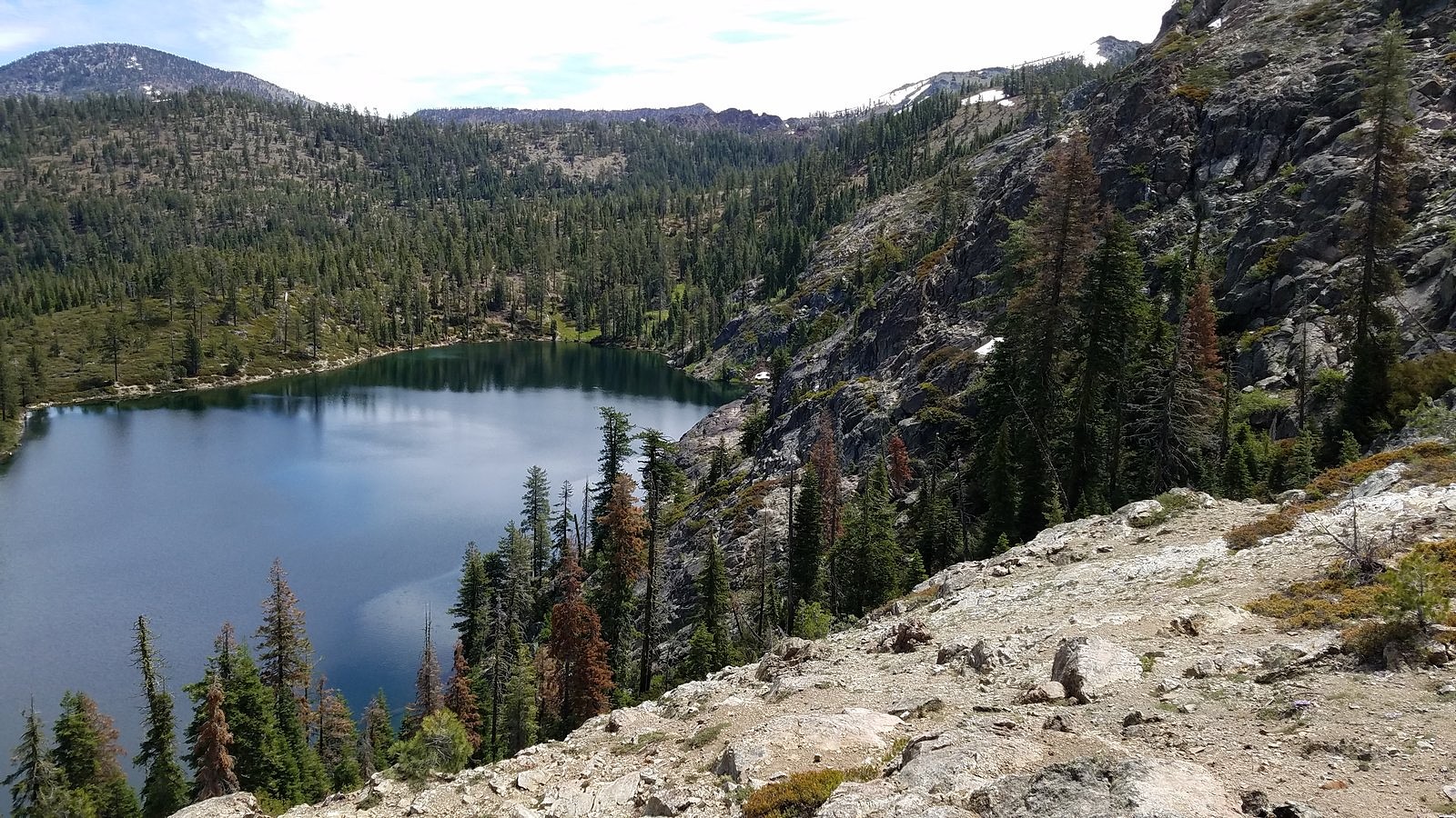
And the hike itself was wonderful, the best outing we’ve had so far this summer. It began at Kangaroo Lake, a gem of a mountain lake, tucked up under a high granite wall in the Scotts – a subrange of the Klamath Mountains that top out at over 8,000 feet and form the divide between the waters of the Trinity and Scott Rivers. We started on the Fen Trail, which begins at the lake and climbs 600 vertical feet in a little over a mile to a low spot on the divide, where we picked up the Pacific Crest Trail and took it east to the 7,100-foot saddle over Bull Lake. The weather was mixed clouds and sun, which kept us cool but didn’t obscure our view of the distant granite spires of the Trinity Alps, in the rugged heart of the Klamaths (although it did prevent us from seeing what has been described as a “picture-postcard view” of Mt Shasta across Bull Lake). There were still a few snowfields around, and all the mountain springs were alive. And of course there were the flowers.
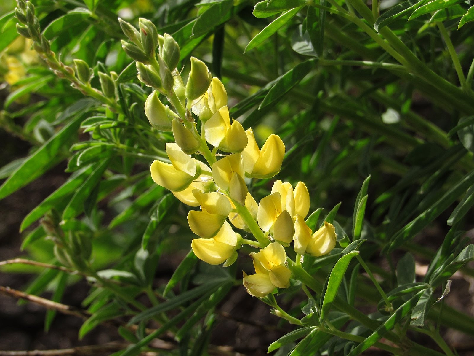
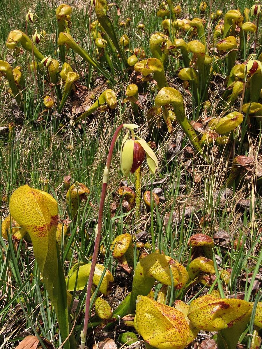
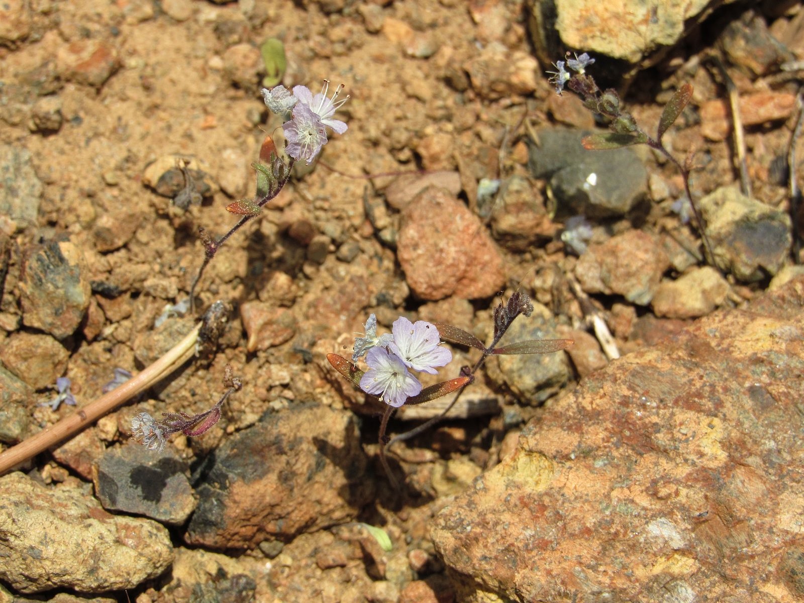
Of course, there were the flowers. These were the Klamath Mountains – pretty much ground zero for wildflower lovers in the western United States. They have two things specifically going for them. They were glaciated less extremely than other western ranges; and they contain large areas of peridotite and other ultramafic rocks, rocks composed primarily of minerals containing heavy concentrations of magnesium and iron. These factors have given the Klamaths a much larger-than-average number of endemic species – plants that grow no place else in the world. Some are there because they thrive on ultramafic soils, which tend to kill many plants; others are pre-ice-age relics that managed to survive the cold in the Klamaths, but no place else. Among the endemics are the carnivorous pitcher plant, or cobra lily (Darlingtonia californica), which thrives in the acid water of fens by eating insects and small frogs; the Mt Eddy lupine (Lupinus croceus), whose brilliant yellow flowers stand out in a genus that produces mostly purples and whites; and the Siskiyou phacelia (Phacelia leonis), a pale blue flower on a nearly invisible stem that floats in ghostlike masses a few inches above the rust-brown gravels of high peridotite ridges. And then there is the Scott Mountain phacelia, which is not a phacelia at all. Or maybe it is. Stay tuned.
Siskiyou phacelia
The trip began, as our trips south usually do, with breakfast at the Breadboard in Ashland; then it was up and over Siskiyou Summit, under gray skies that we hoped would burn to blue before the day was done. We chose the route along the Shasta River to avoid the freeway’s climb over the Anderson Grade, and were soon sorry: the bridge over the Klamath River along that route is being replaced, and we were stuck on the old bridge for 20 minutes waiting for a flagger to give us the go-ahead (this was the reason for our different return route). Eventually, though, we did reach the Gazelle/Callahan Road, climbed up and over Scott River Summit, and made the 2000-foot ascent up Rail Creek to Kangaroo Lake. A quick jaunt along the lakeshore for photos, and then we hit the Fen Trail.
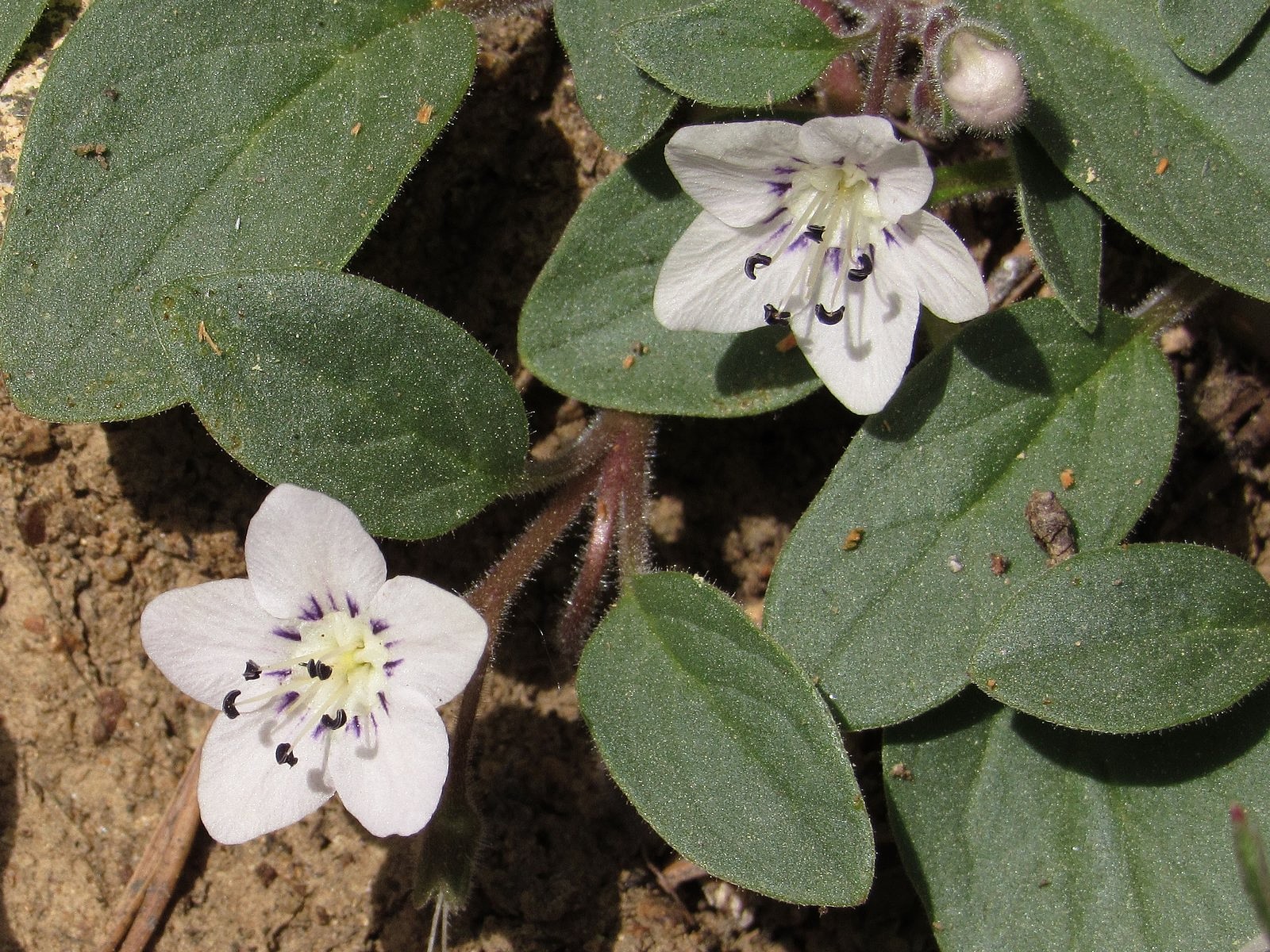
Almost immediately we spotted the Scott Mountain phacelia, although I have to admit I thought it was something else. It looks very much like a distantly-related plant called the California hesperochiron, and that’s what I thought I was seeing. But as I knelt to photograph it, I thought, “That doesn’t look quite right;” then I looked up, and spotted the information placard a dozen yards or so further up the trail.
Scott Mountain phacelia
The placard gave us part of the plant’s story; I have since pieced together the rest. The Scott Mountain phacelia was first collected in 1936 on the summit of Scott Mountain, by a wildflower enthusiast named Ella Dales Cantelow and her husband, Herbert, who sent the dried plant to a friend of theirs, a botanist named Thomas J. Howell. Howell was pleased by this “remarkable new phacelia”, and named it Phacelia dalesiana in Ella’s honor. It was soon established that it had a very limited range, growing primarily on ultramafic soils, and only in the Scott Mountains and adjacent parts of the Trinity Alps. It was also noticed that it wasn’t quite like any of the other phacelias. In 1953, it was placed in a new phacelia subgroup, named Howellanthus (after Thomas Howell); more than a half-century later, it was still the only member of that subgroup. In 2010, a San Francisco State University graduate student, Genevieve Weldon, published a paper coauthored by the eminent botanist Robert Patterson which suggested that the subgroup Howellanthus should become the genus Howellanthus. Given Patterson’s status, the change rapidly gained acceptance, and the botanical world had a new genus.
Or not. Browsing through the literature just this morning, I noticed that one online naturalists’ reference, iNaturalist – which changed the plant’s genus along with everyone else soon after Weldon and Patterson’s paper came out – had recently changed it back. Botanists’ food fights being what they are, I think I’ll refrain from dipping into this one any further. But I do think we should probably keep “phacelia” in the common name.
The Scott Mountain phacelia was the highlight of the day, so I’ll just describe the rest briefly. The Fen Trail lived up to its name, passing multiple fens, most of them full of Darlingtonia; it also provided a spectacular viewpoint, on a granite knoll overlooking Kangaroo Lake.
Snow blocked the trail a little way below the ridge, forcing us into some steep cross-country scrambling, which was rewarded by a ridgetop full of flowers and big views southwest to the distant, snowy Trinities. It was three miles via the PCT from there to the saddle over Bull Lake, and none of it was dull, from the rocky peaks above us to the flowers and snowfields at our feet to the four small lakes we passed along the way, all of them well below the trail. The sky cleared, although not entirely: I was hoping to see that world-class view of Mt Shasta over Bull Lake from the saddle, but all I got was a bit of the mountain’s base peeking out from the skirts of some of the few remaining clouds. But we did get a great view of Mt Eddy, and we had a wonderful time, no matter what genus that phacelia eventually turns out to belong to. Check out the pictures.
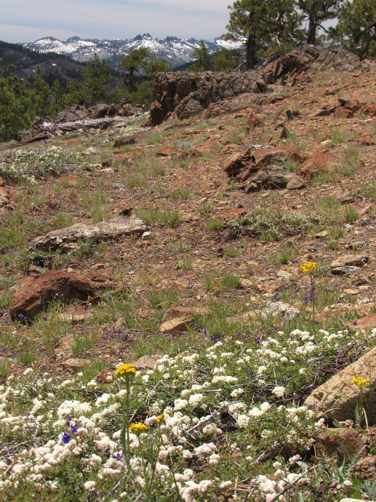
The Trinity Alps from the Scott Mountain ridge: the white mass of flowers in the foreground is snowbush.
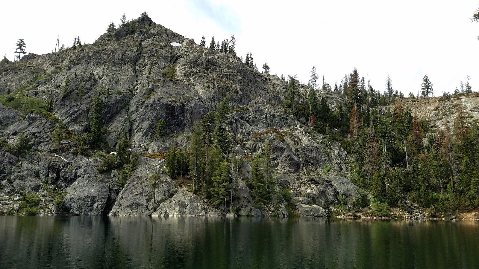
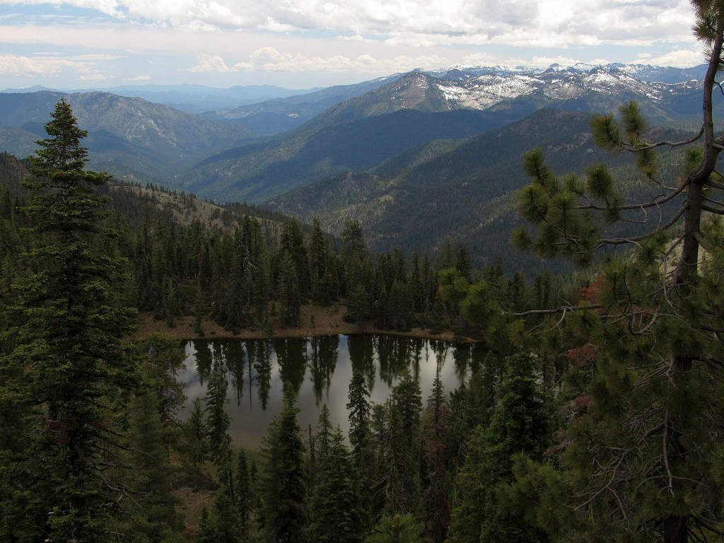
One of the small unnamed lakes.
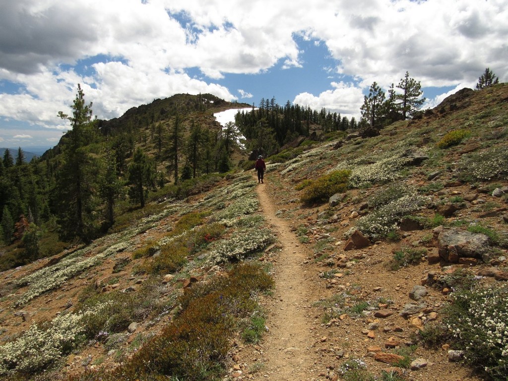
On the Pacific Crest Trail: lots of snowbush!
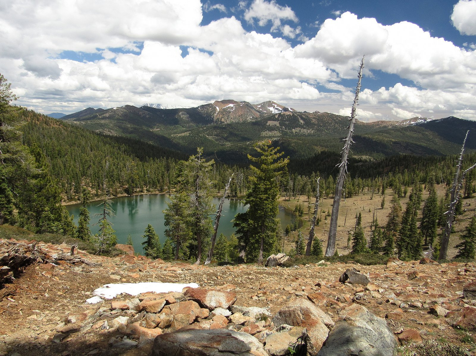
Bull Lake and Mt Eddy. Mt Shasta’s base can be made out to the left of Mt Eddy, above the black shadow on the far ridge.