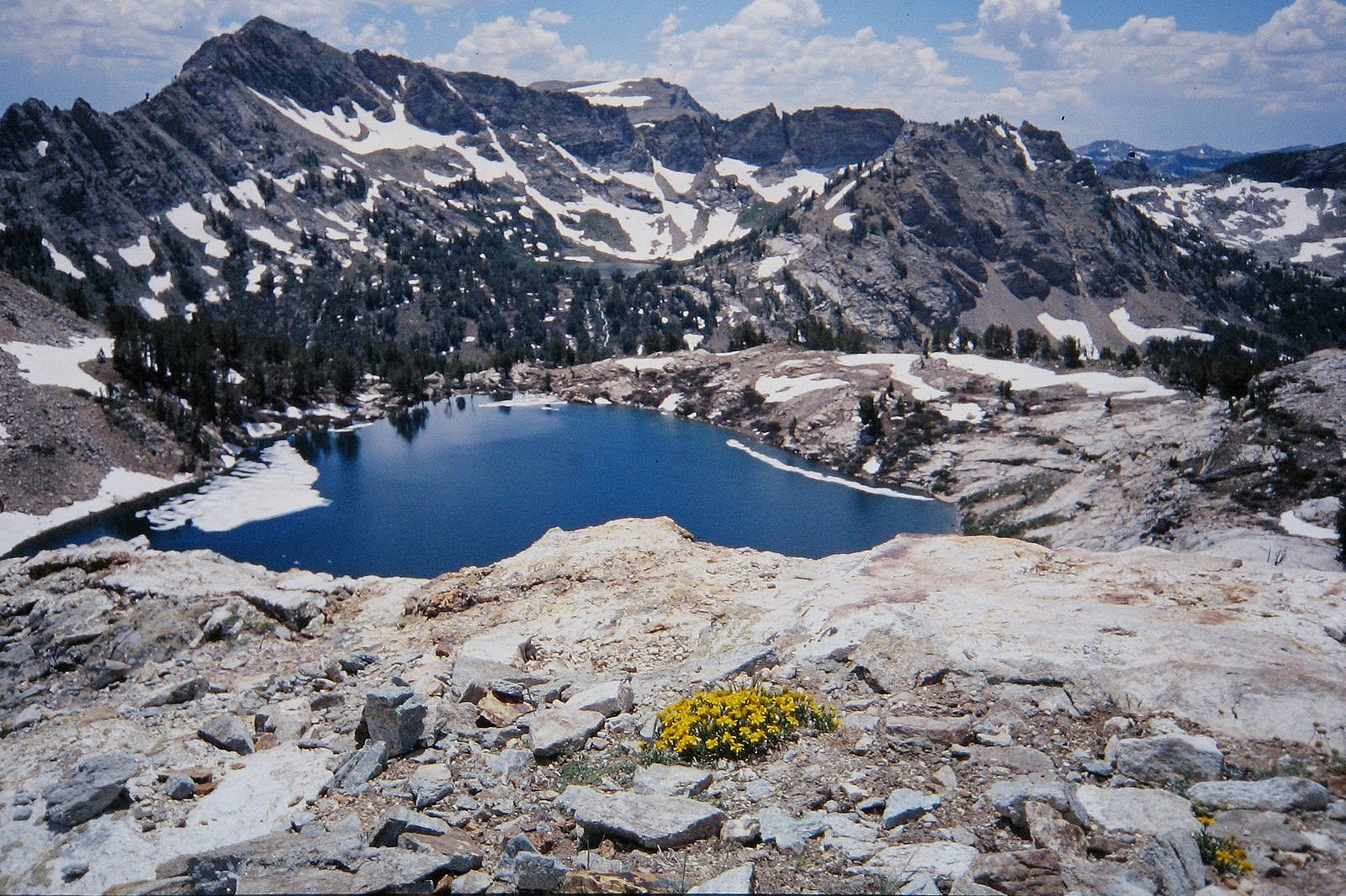
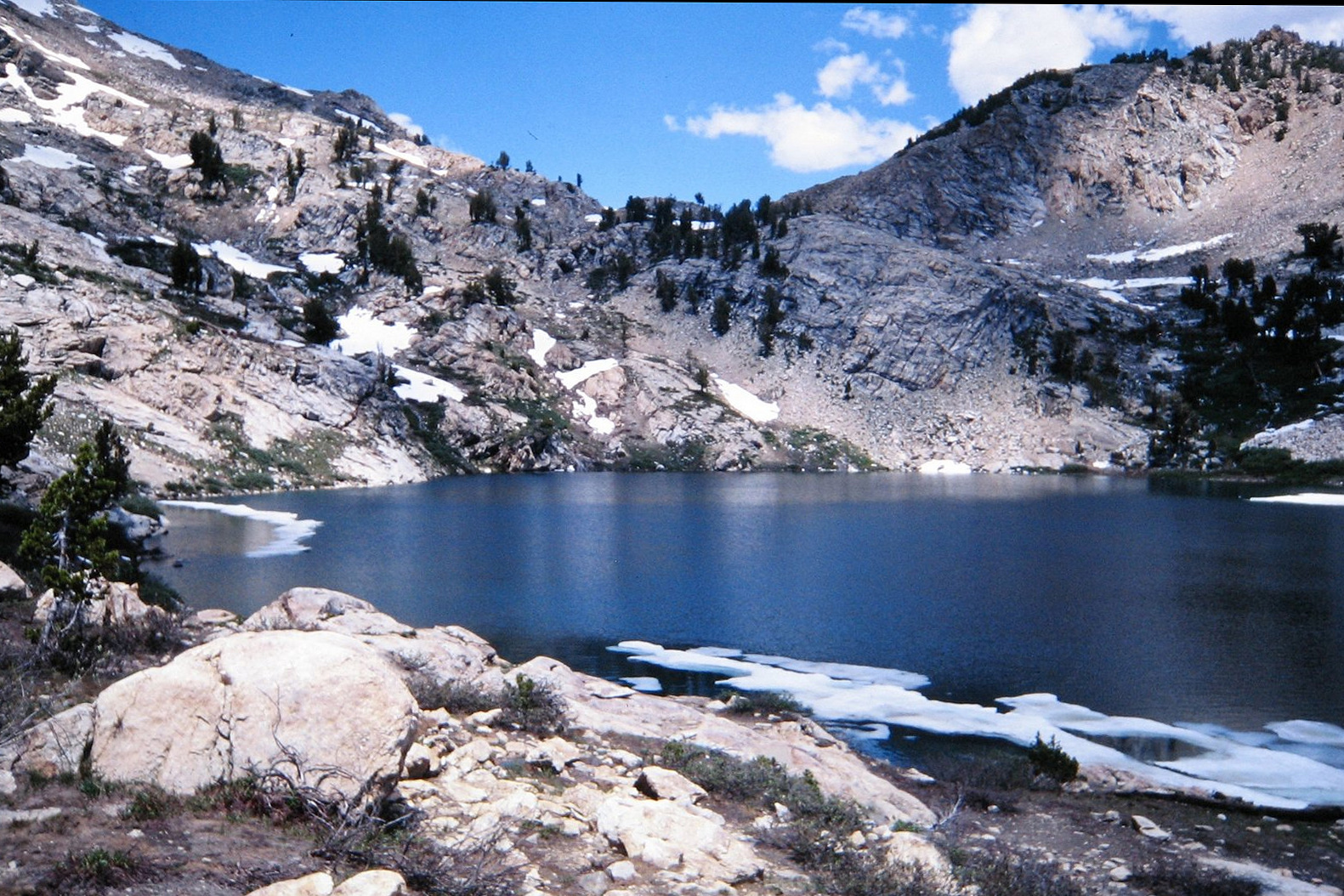
The Ruby Mountains rise out of northeastern Nevada like the ghosts of another place. Surely, you think, surely these don’t belong here. All around you on the long drive to Elko have been only desert mountains – sagebrush mountains – stark and dry. The one river of any size in this universe of sand, the Humboldt, isn’t actually of any size either: it’s just long. It trickles for 300 miles through the rocks and rabbit brush and then dries up and stops, never reaching the sea. If it was my river, I wouldn’t let it out at night. Where did these snowfields, these lakes, these granite peaks and glacier-carved valleys full of muscular young mountain rivers – where did these come from? Why aren’t they over in the Sierra, where they belong?

Nevertheless, they are here. Like Elizabeth Warren, they have persisted. And if you visit them, your image of Nevada will never again be the same.
* * *
The first time I drove past the Rubies I not only didn’t stop, I didn’t even see them. We had just spent two weeks driving one of our daughters across the country to college in Massachusetts and had only a few days left to get home to Oregon and our jobs, so we were pretty much driving straight through. We stopped to refuel ourselves and the car in Elko around 10:30 at night, and there was no clue to the magnificence that lay swathed in darkness a few miles to the south.
That was in 1990. We drove past again four years later, on our way to a family reunion in Minnesota, and this time we did see them: a dark, jagged silhouette, like a barricade erected against a late afternoon onslaught of gathering storm clouds. The sight slammed me to the shoulder of the freeway – this was an emergency, wasn’t it? – and I snapped a few pictures, but we had reservations an hour further east and couldn’t stop for long. I found their names in a road atlas in our motel that night. Clearly, we would have to plan a visit.
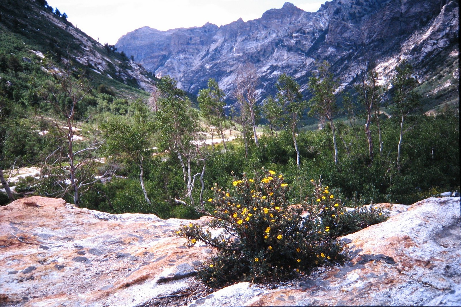
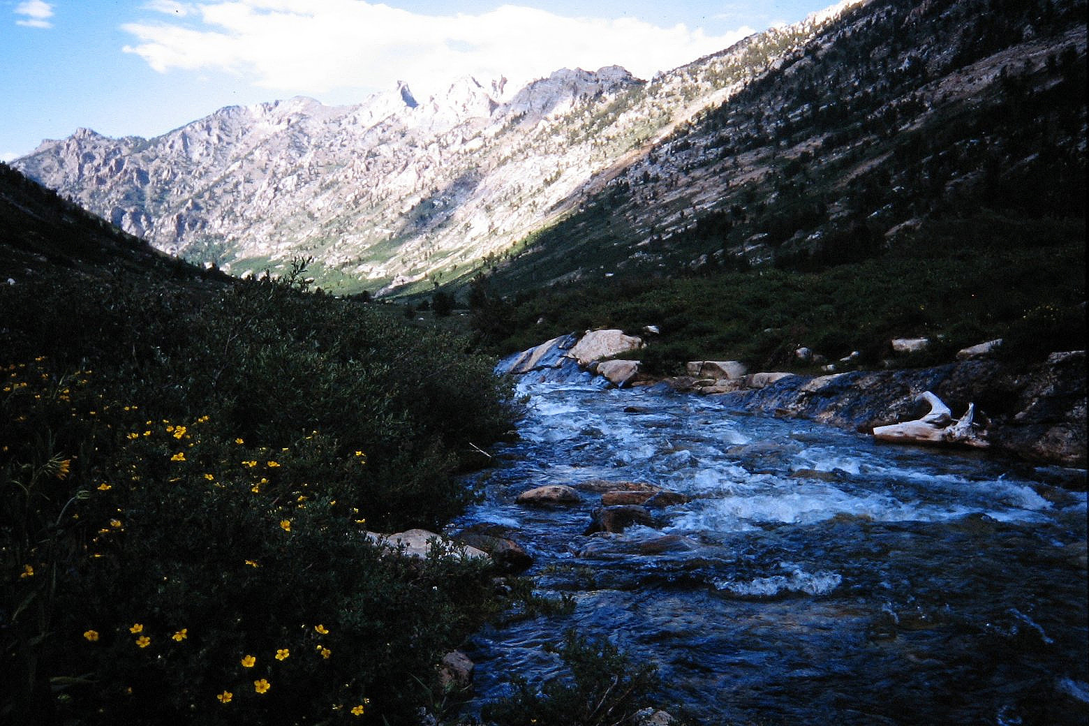
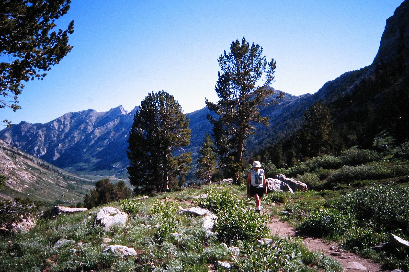
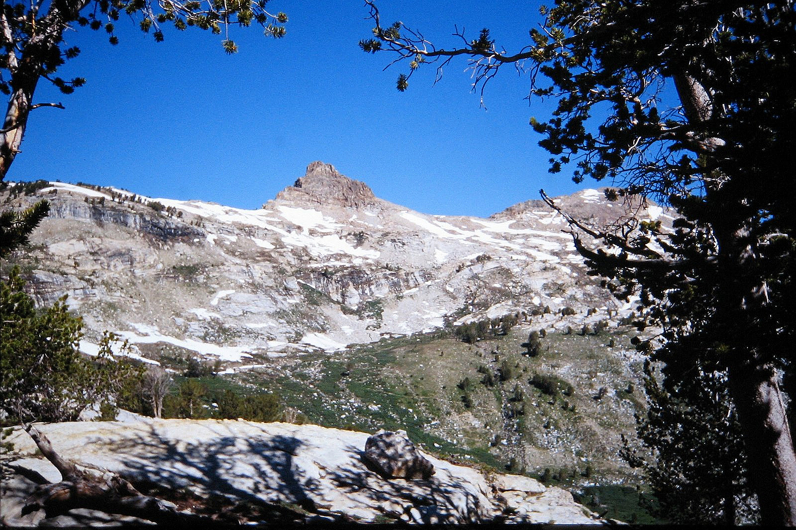
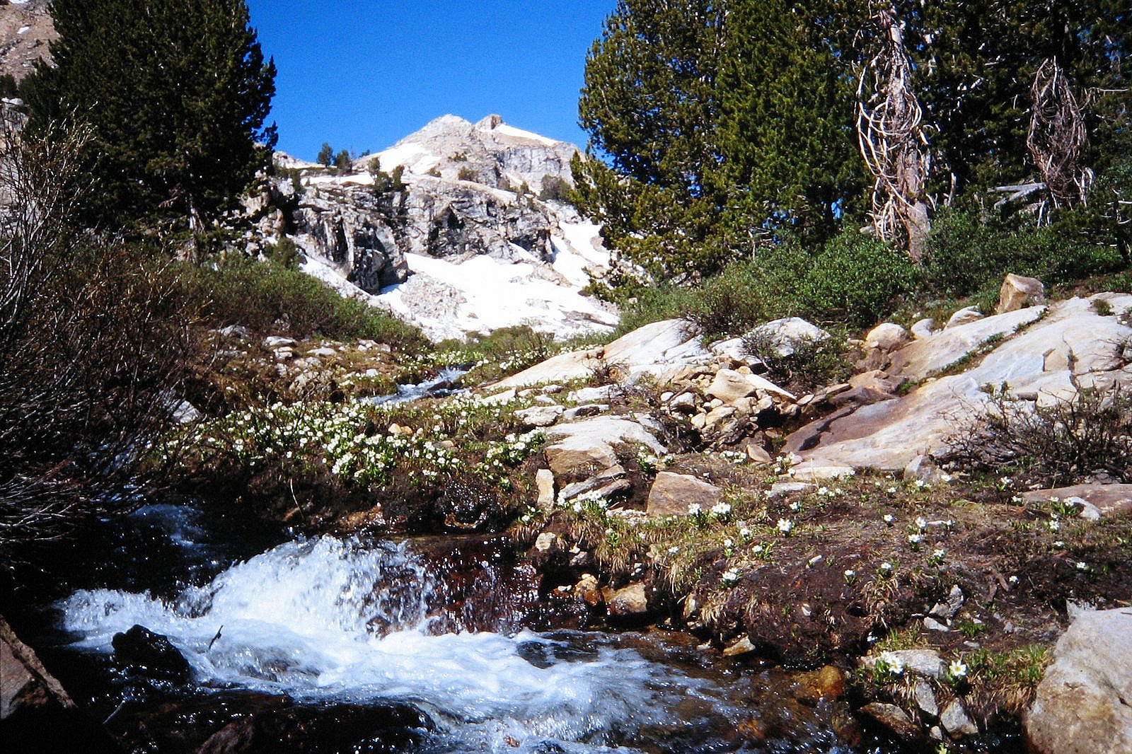
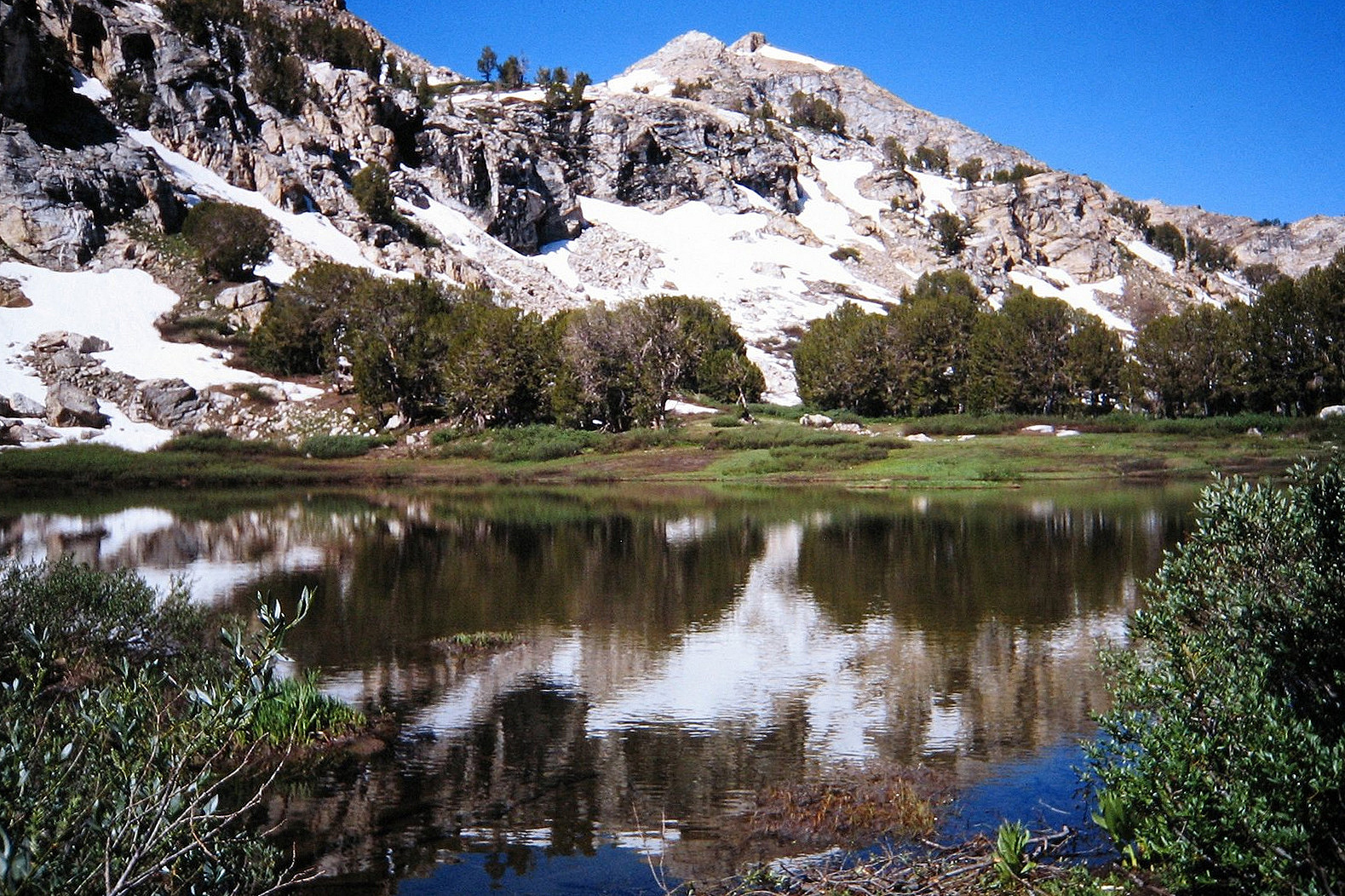
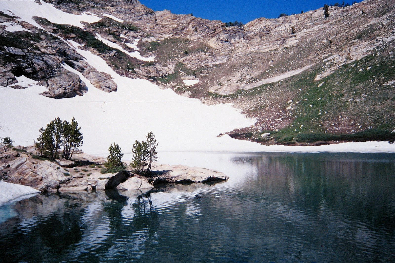
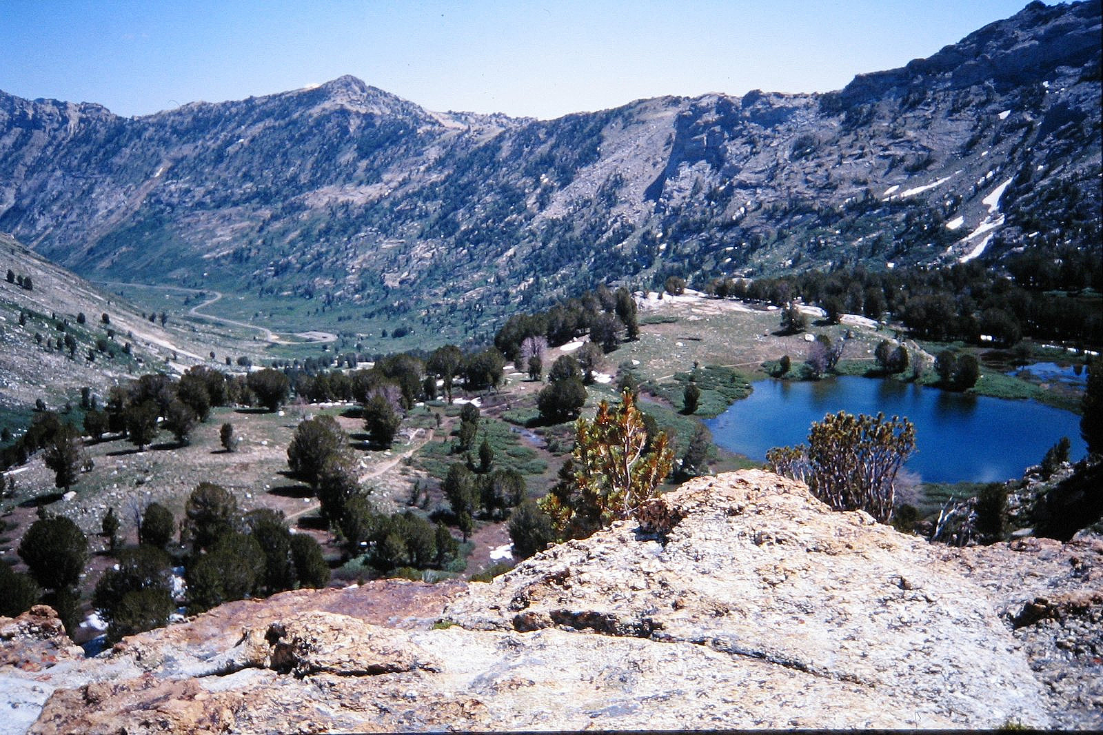
The opportunity finally came in the summer of 1996. The same daughter we had driven to Massachusetts back in 1990 was now getting married, and we thought it would be a great idea to celebrate our new empty-nester status by spending a few days right after the wedding shooting photographs in the Rubies. That plan was almost torpedoed when I realized, halfway to Elko, that I had left my big, fancy, expensive SLR at home. I stopped in Winnemucca, ran into the town’s single drug-and-discount store – the only place in town that sold cameras – and told the woman behind the counter that I wanted two rolls of 35mm film and the cheapest camera she had in stock that had a glass lens. She handed me the film and a Kodak Cameo point-and-shoot. We spent the night in a Winnemucca motel and drove the rest of the way to the mountains the next day. These are the pictures that resulted.