I’ve added a new page to the “places” gallery of this website – this time, on Nevada’s Ruby Mountains. Here are a couple of pictures to whet your appetite: find the rest by clicking on “Galleries” in the menu above and selecting “Oh, the Places I’ve Been!” and then “The Ruby Mountains.” As usual, clicking on the pictures will allow you to view them full-sized in a new tab.
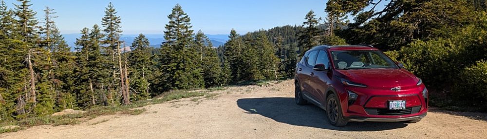
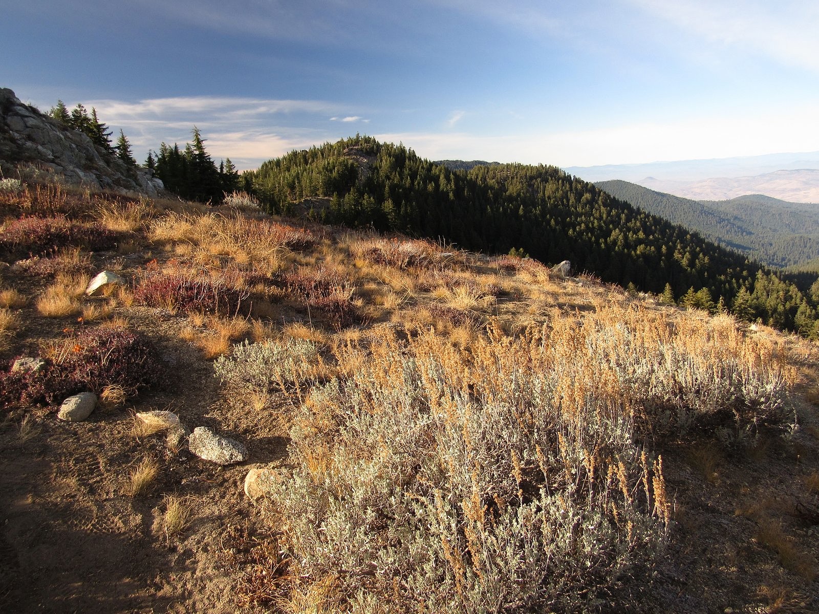
Snow has not yet come to the high country of the Siskiyous. This is worrisome for the winter we are about to have, but it is also an opportunity. On November 6 we took advantage of that opportunity, with a ramble along the Split Rock Trail from Road 20 to the summit of McDonald Peak.
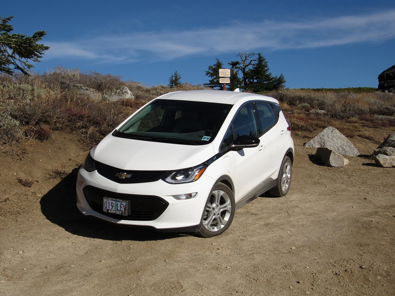
The Bolt at the Split Rock trailhead.
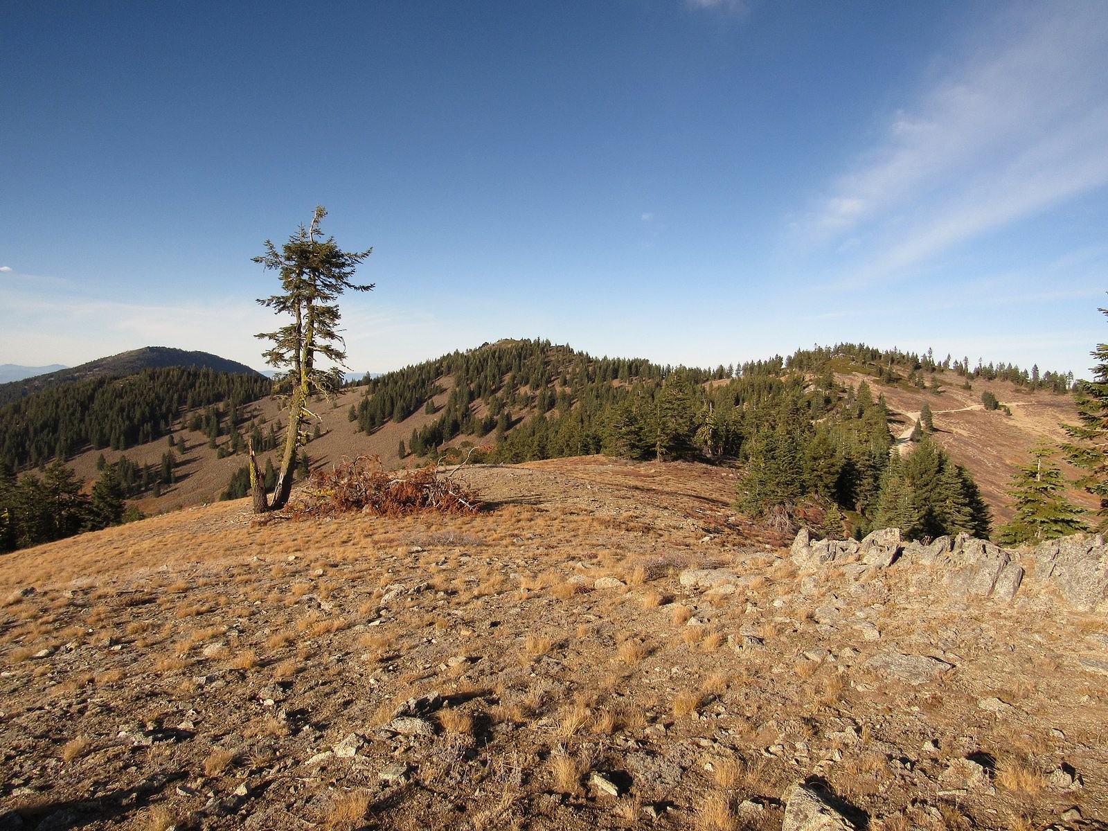
The Split Rock Trail begins at a tiny parking area just west of the ridge that forms the west wall of Grouse Gap, the large basin west of Mt Ashland. It ends at the summit of Wagner Butte, five miles to the north along the same ridge. A “use trail” for many years, maintained by hikers’ feet, it has recently been adopted into the Rogue River-Siskiou National Forest trail system, and now rates a trailhead sign and occasional maintenance. McDonald Peak is roughly a mile in. It is 7226 feet high, but that is less impressive than it may sound; the trail goes almost directly over its summit, and the entire route from trailhead to summit stays above 7000 feet.
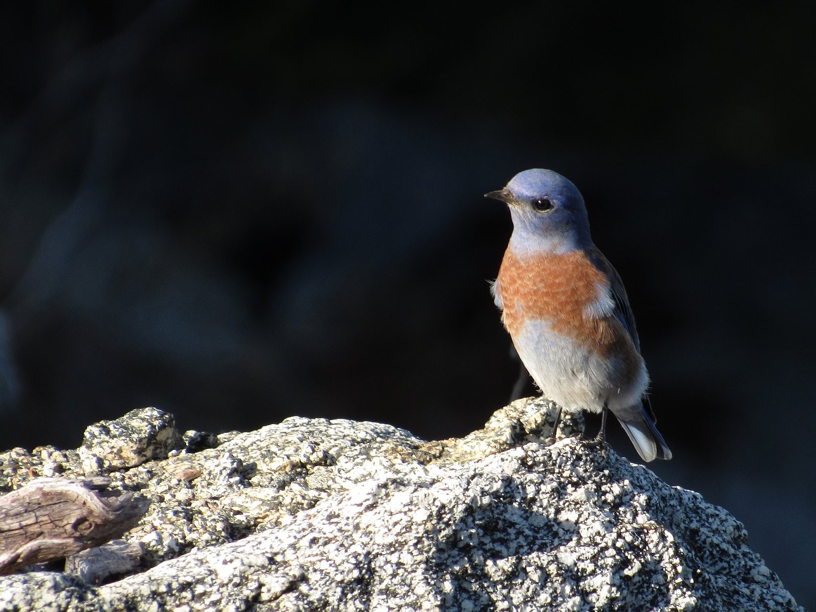
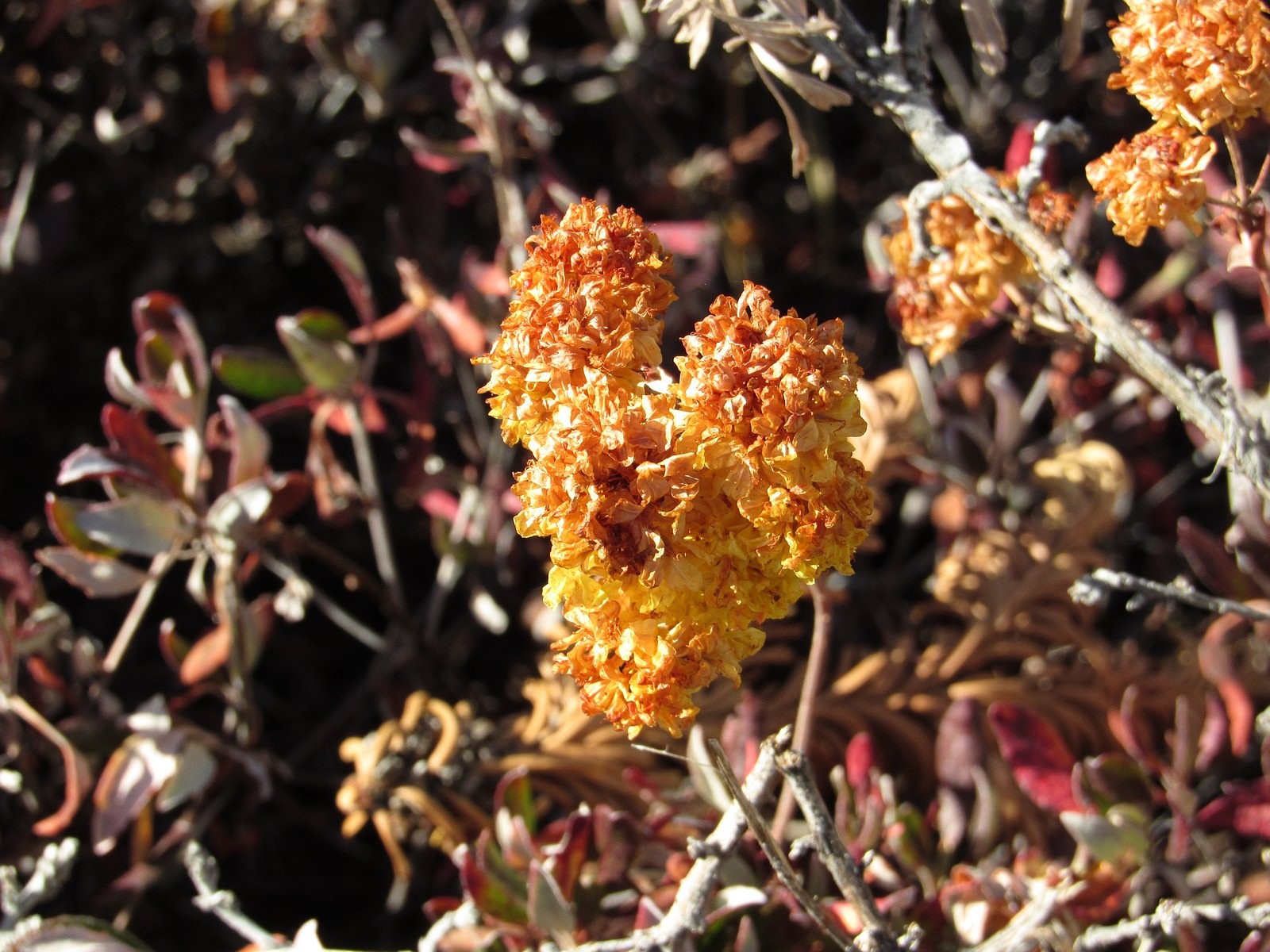
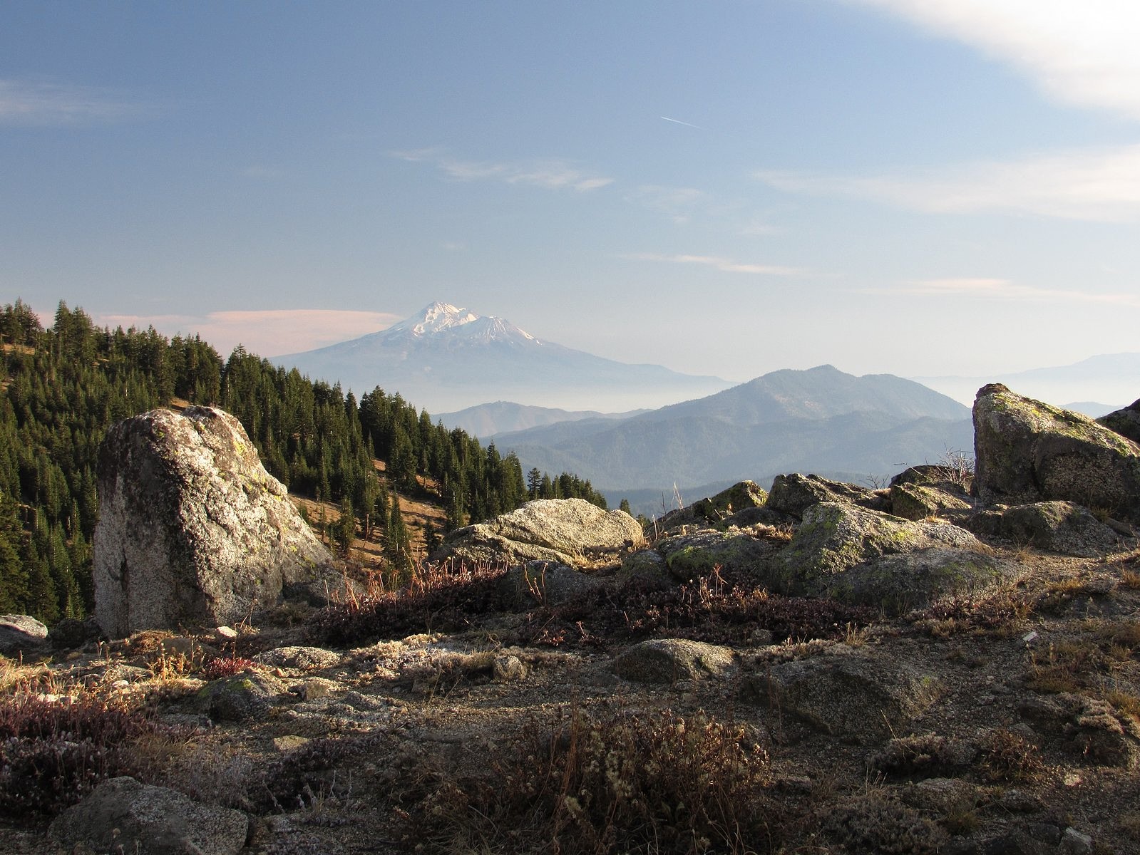
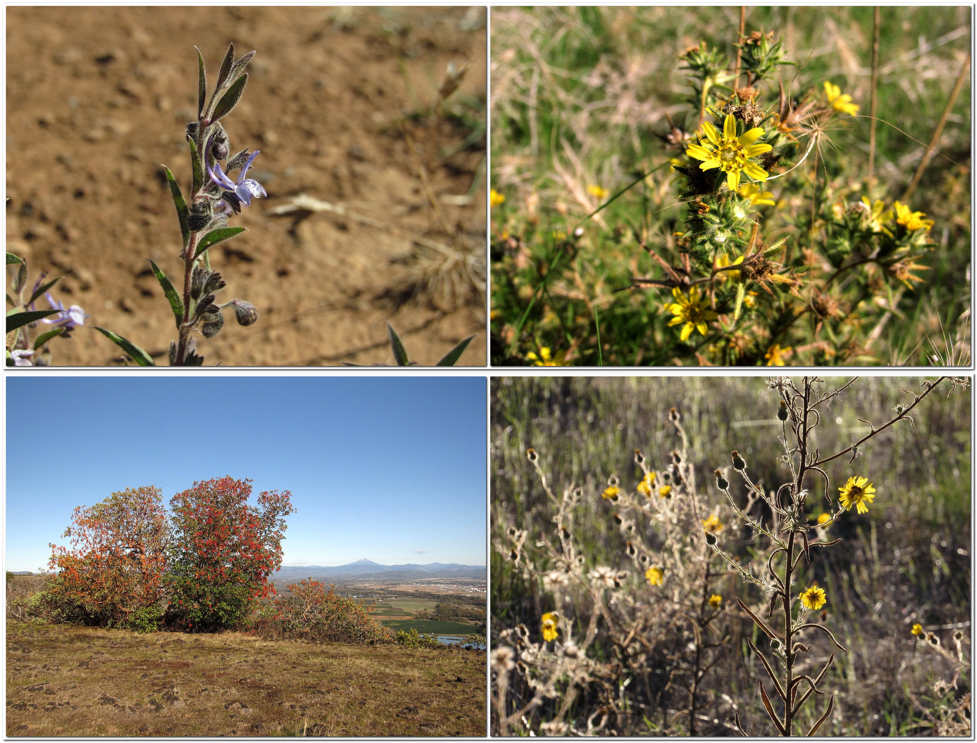
I suffer from Reynaud’s Syndrome, which cuts off the circulation to the tips of my fingers if I get too cold, so we didn’t leave the house until after noon. The drive up was uneventful (although I do wish Road 20 would get some proper maintenance for what are developing into some pretty bad potholes), and we were on the trail by 1:30. There was haze in the valleys, but we were above most of that, and the views were glorious, stretching from Mt Shasta to the Crater Lake rim and almost everything in between. A flock of bluebirds swirled past as we climbed the south slope of the small knob we call “Little McDonald Peak” near the trailhead: they flew in 15s and 20s, fifteen or twenty feet in the air and then fifteen or twenty seconds on a convenient rock or red-fir limb. Near the same spot we found a few sulphur flowers still partially in bloom.
Western bluebird.Sulphur flower
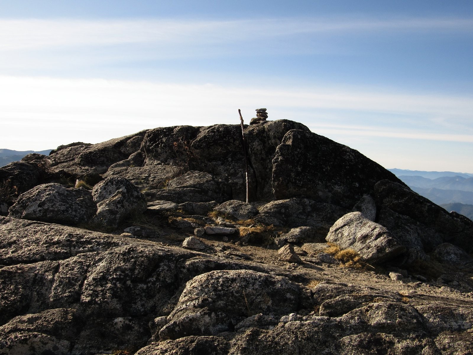
The actual summit of McDonald Peak is a rock outcrop about fifteen feet high, which the Split Rock Trail bypasses on the west side. It’s an easy scramble, so of course we summited. This was the site of the “geezer climb” my old friend and former climbing companion Cliff Olin and I made together in August 2017, roughly 50 years after our last previous climb together (and a lot easier than that one was!). Being there brought back pleasant memories of that trip.
The summit of McDonald Peak.
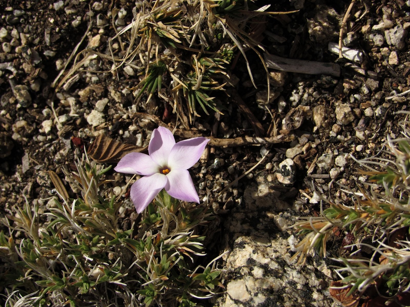
One lone phlox in bloom just below the summit.
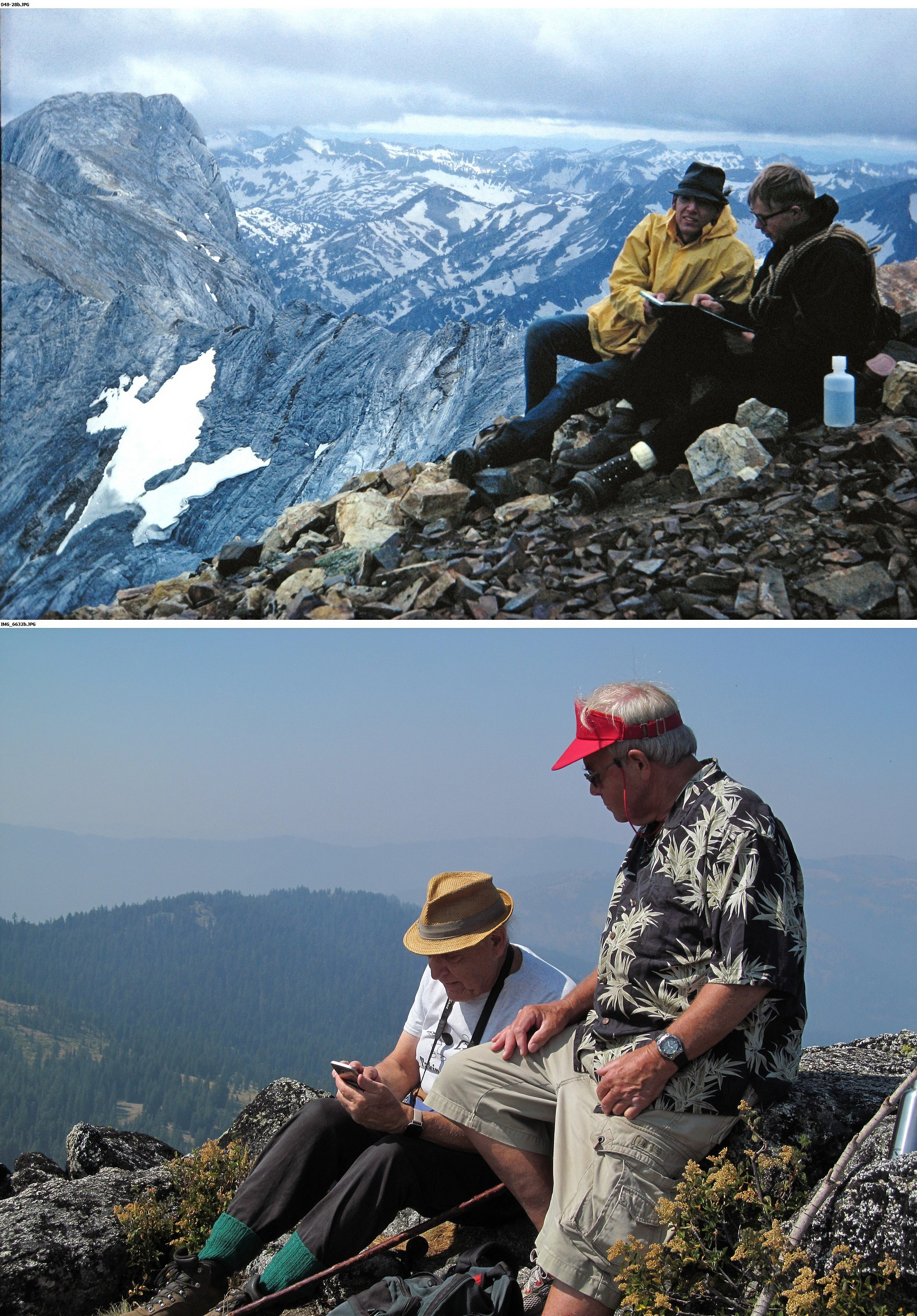
Right: Cliff Olin and me summiting two different mountains. The top photo was taken on Sacajawea Peak in the Wallowa Mountains in 1966; the bottom photo is from our “geezer climb” in 2017.
Looking west from the summit.
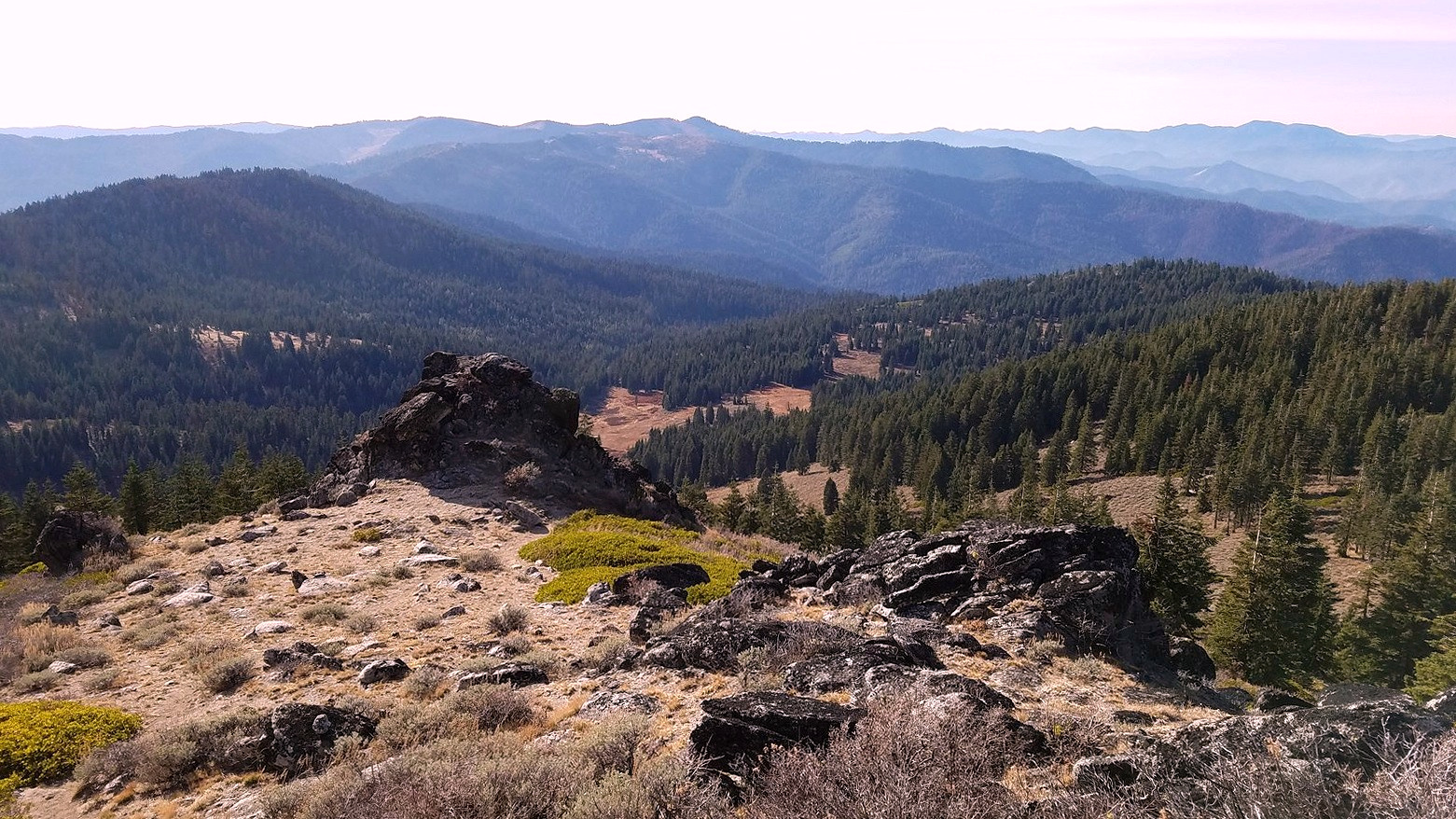
Above and below: two views of McDonald Peak from the Split Rock trail.
It was still early when we got back to the car, so we added the half-mile round trip to the top of the gentle, nameless knoll west of McDonald Peak along the main crest of the Siskiyous. The electric propulsion system of the Bolt performed its magic on the way home, actually adding fuel to the battery instead of using it up as we came down the Mt Ashland Ski Road and the stretch of I-5 between Siskiyou Summit and Ashland, so we reached our garage with about the same charge showing on the range indicator as it had shown at the trailhead (just try to do that in a gas-powered vehicle). What I hope is the first of our winter storms is expected to come through at the end of this week, so this was probably our farewell trip to the high country for 2019.
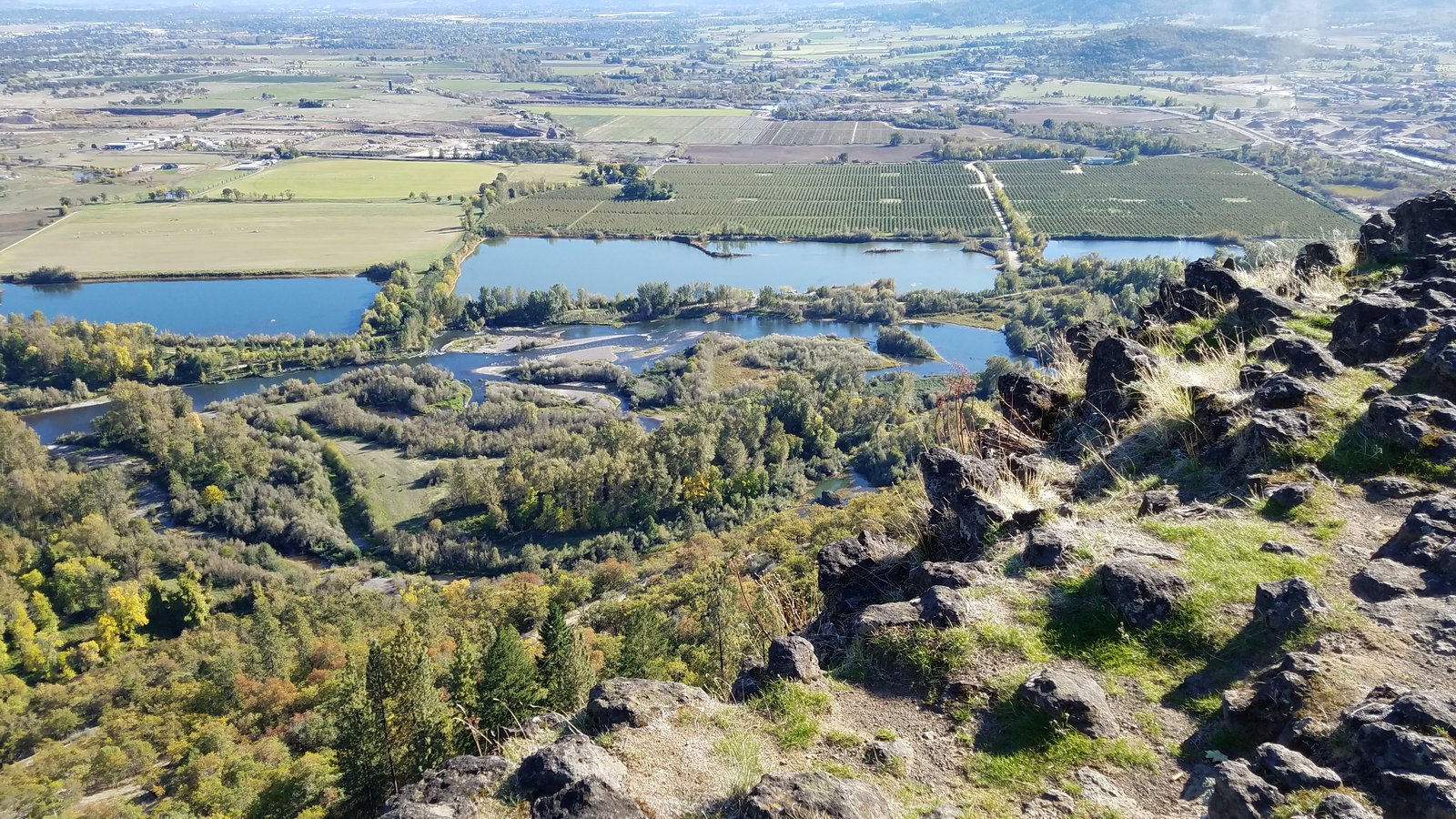
Looking east from Lower Table Rock toward Mt McLoughlin. The Rogue River’s course can be traced through the picture by the twin rows of trees.
There is a certain mystique about mesas. Part of that comes from their association with the Old West of the movies, and from the even older west encountered in places like Mesa Verde and the First, Second, and Third Mesas of the Hopi people. Another part comes from the appearance of impregnability that mesas present because of the cliffs that partly or completely surround them. Most of it, though, comes from their isolation – from a sense that their broad, flat surfaces are a place apart from the mundane world below, a place which might hold marvelous things: lost mines, or lost species, or even lost civilizations. There is actually some truth to this last point. Lost mines and lost civilizations are almost always the stuff of myth, but lost species often do find refuge on the tops of mesas. Mesas are islands in the sky, and like islands in the sea, they can develop unique communities of living things. Sometimes these include species that are rare or absent elsewhere.
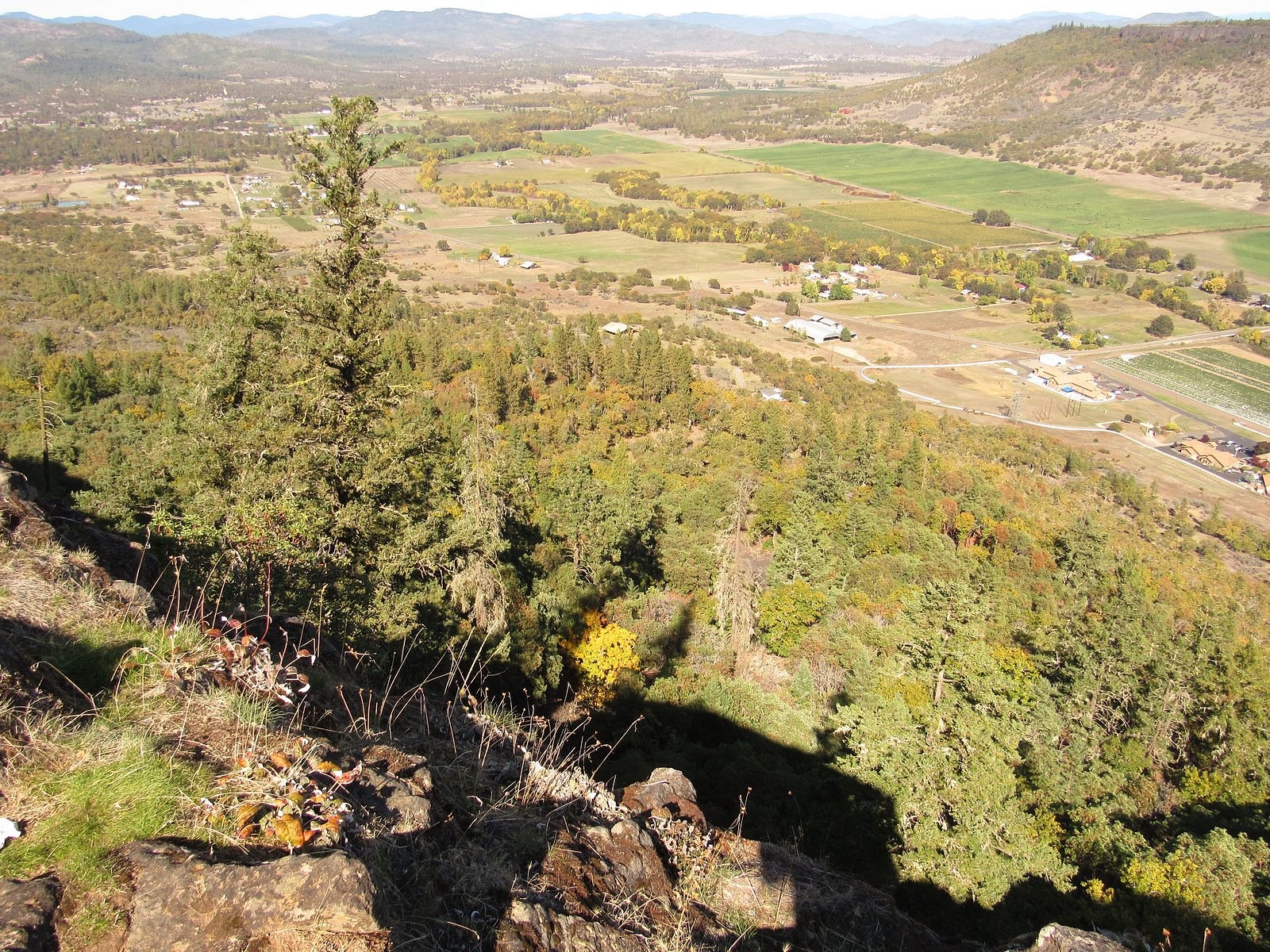
Mesas are commonly associated with arid landscapes, but they can be found anywhere. There are two standing side-by-side here in southern Oregon. They tower some 800 feet above the Rogue River, which winds closely past them on the south, and they go by the unimaginative but apt names of Upper Table Rock and Lower Table Rock – “upper” and “lower” here referring to their locations along the river, not their elevations, which are nearly identical. The Table Rocks owe their existence to a long-extinct volcano; to the Rogue River itself; and to seven million years of time. The ancient volcano, usually identified as Olson Mountain (south of what is now Lost Creek Lake), spewed forth lava in liquid-enough form to flow more than 40 miles down the channel of the ancestral Rogue and spread out over the sandstone flat that now underlies the Rogue Valley; the river and time then conspired to carry most of that lava away again, along with several hundred feet of the sandstone. The largest remaining remnants of that flow are the Table Rocks. Each sits on a pedestal of sandstone, and each has a summit that is several hundred acres in extent, thinly covered with soil, and flat as the tables they are named for.
The Table Rocks are popular hiking destinations, receiving, between them, some 45,000 visits each year. Both rocks are botanical preserves, managed jointly by the BLM and The Nature Conservancy: More than 200 flower species have been identified on those two sky-islands and their surrounding cliffs and hillsides, including one, small meadow foam, that is endemic to the rocks – meaning that it grows nowhere else. So most of those visits, including most of ours, come during wildflower season. But the rocks hold charms in other seasons, too. This Wednesday (October 9), we decided to see what they might provide in the middle of Autumn.
Turning oak leaves add a bit of color near the bottom of the trail.
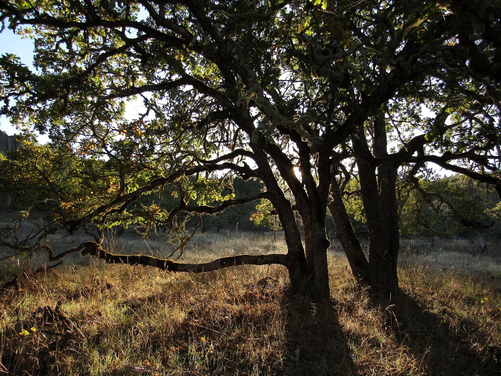
Since the trailheads are only half an hour from our home, we are able to do either rock as a half-day hike, and that’s what we chose to do this time. We arrived at the Lower Table Rock parking lot around 1:30 PM. The weather was sunny but slightly hazy, with temperatures in the 60s. Climbing slowly through oak savannah, chapparal, and then mixed forest, we reached the rim, 1.5 miles from the trailhead, by 2:30. We spent the next hour wandering south along the east rim, in the company of scarlet leaves, bright-red madrone berries, and the distant cone of Mt McLoughlin, tinted white by a recent light snowfall. There were a few late-blooming flowers.
Clockwise from upper left: vinegar weed, Fitch’s tarweed, elegant madia, madrone berries (Mt McLoughlin in the distance).Sam’s Valley from Lower Table Rock.Looking south from the tip of the mesa. The braided stream channels in the foreground, an area known as Kelly Slough, were formed behind Gold Ray Dam, now removed. Medford in the distance.
After a fifteen-minute-or-so pause on the southern tip of the mesa, we headed back via the main trail, down the center of the summit plain on the mile-long grass airstrip built in 1948 by developer John Day as part of a scheme – never realized – to sell mesa-top homesites to wealthy Californians. The airstrip has been decommissioned for many years, but it still appears on some maps, and small planes still occasionally attempt to land there.
The light was gorgeous in the woods as we descended in the late afternoon. We reached the trailhead shortly after 5:00. I took the obligatory photo of the Bolt in the parking lot – this is an electric-car blog, after all – and we headed for home. We’ll be back to this trail again in the spring.
Lower Table Rock – and the Bolt – from the trailhead.