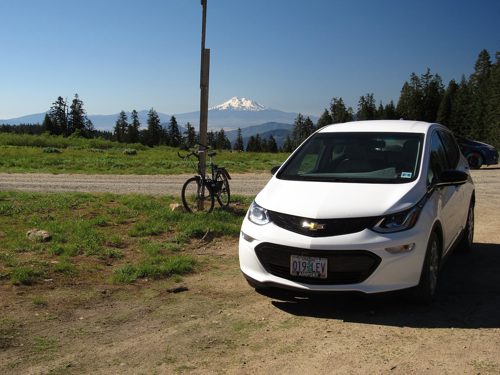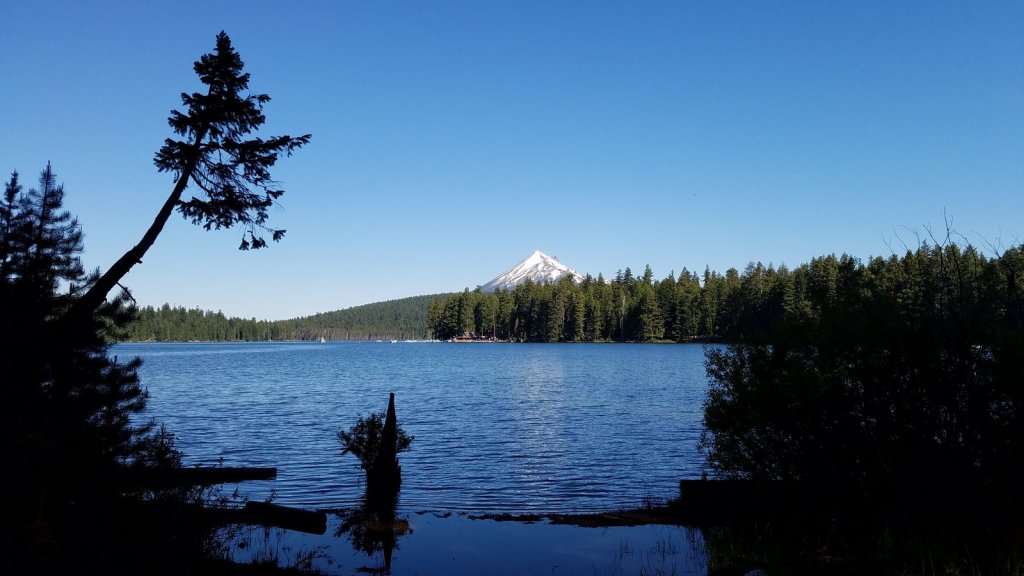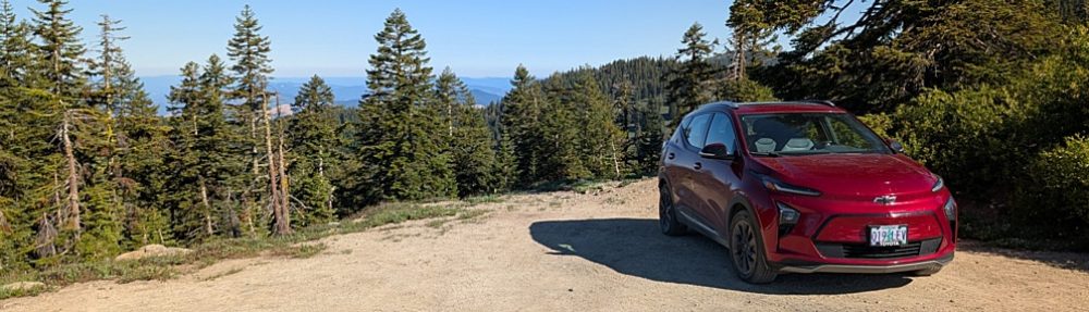
If I had any doubts left about the adequacy of the Bolt’s range for anything Melody and I want to do, they were certainly put to rest by last week’s outing. We drove to a trail nearly 100 miles from our home, over two passes one way and three the other (slightly different routes), plus making a stiff, winding climb to the trailhead, a bit over 6,000 feet above sea level in California’s Scott Mountains. Three of the passes were on the freeway, and were taken at freeway speeds, including the highest pass on the entire Mexico-to-Canada length of Interstate 5: Siskiyou Summit, between Ashland, Oregon and Yreka, California. All this, and we still got home with 30% of the battery left. And this is summer, which means that our solar panels are providing pretty much all of our electricity. Which means, in turn, that we spent the whole day powering the car on sunbeams instead of fossil fuel. I simply couldn’t be more pleased.
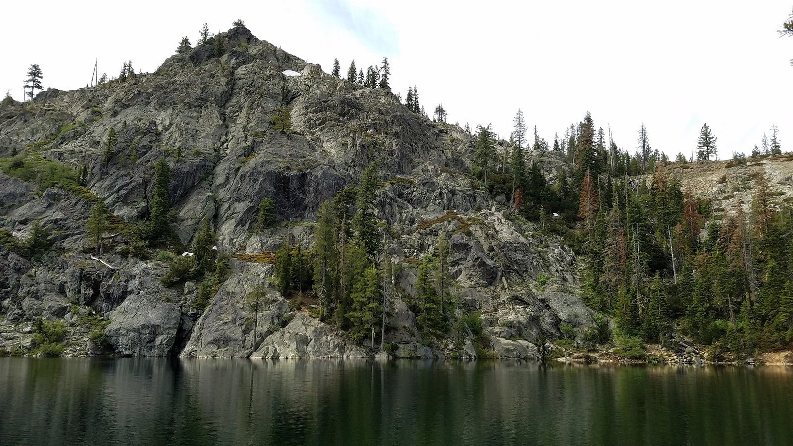
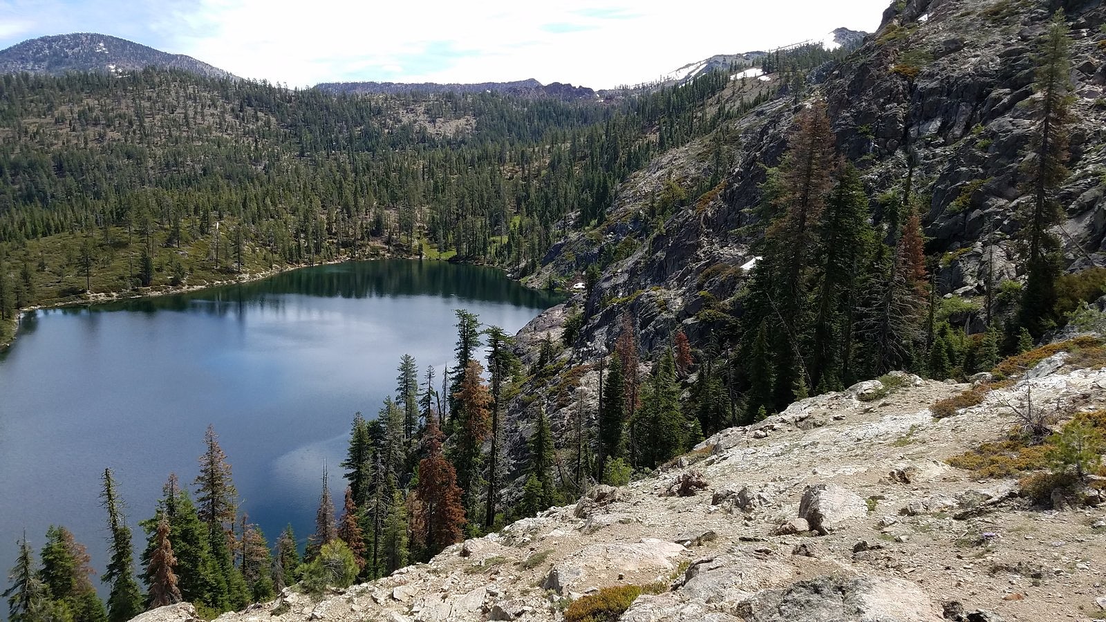
And the hike itself was wonderful, the best outing we’ve had so far this summer. It began at Kangaroo Lake, a gem of a mountain lake, tucked up under a high granite wall in the Scotts – a subrange of the Klamath Mountains that top out at over 8,000 feet and form the divide between the waters of the Trinity and Scott Rivers. We started on the Fen Trail, which begins at the lake and climbs 600 vertical feet in a little over a mile to a low spot on the divide, where we picked up the Pacific Crest Trail and took it east to the 7,100-foot saddle over Bull Lake. The weather was mixed clouds and sun, which kept us cool but didn’t obscure our view of the distant granite spires of the Trinity Alps, in the rugged heart of the Klamaths (although it did prevent us from seeing what has been described as a “picture-postcard view” of Mt Shasta across Bull Lake). There were still a few snowfields around, and all the mountain springs were alive. And of course there were the flowers.
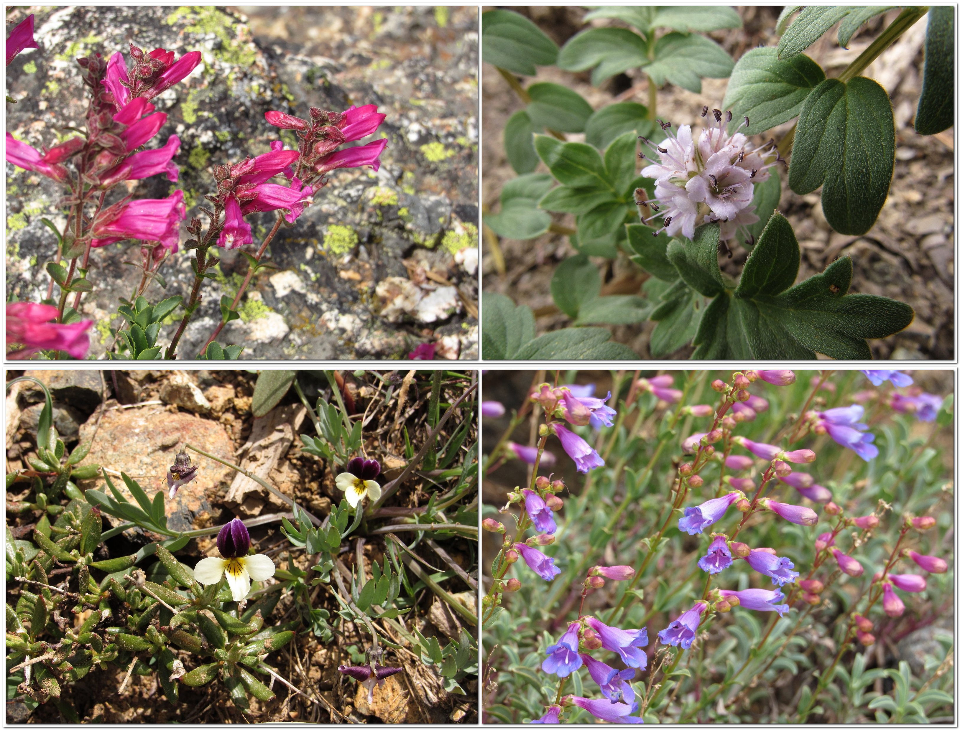
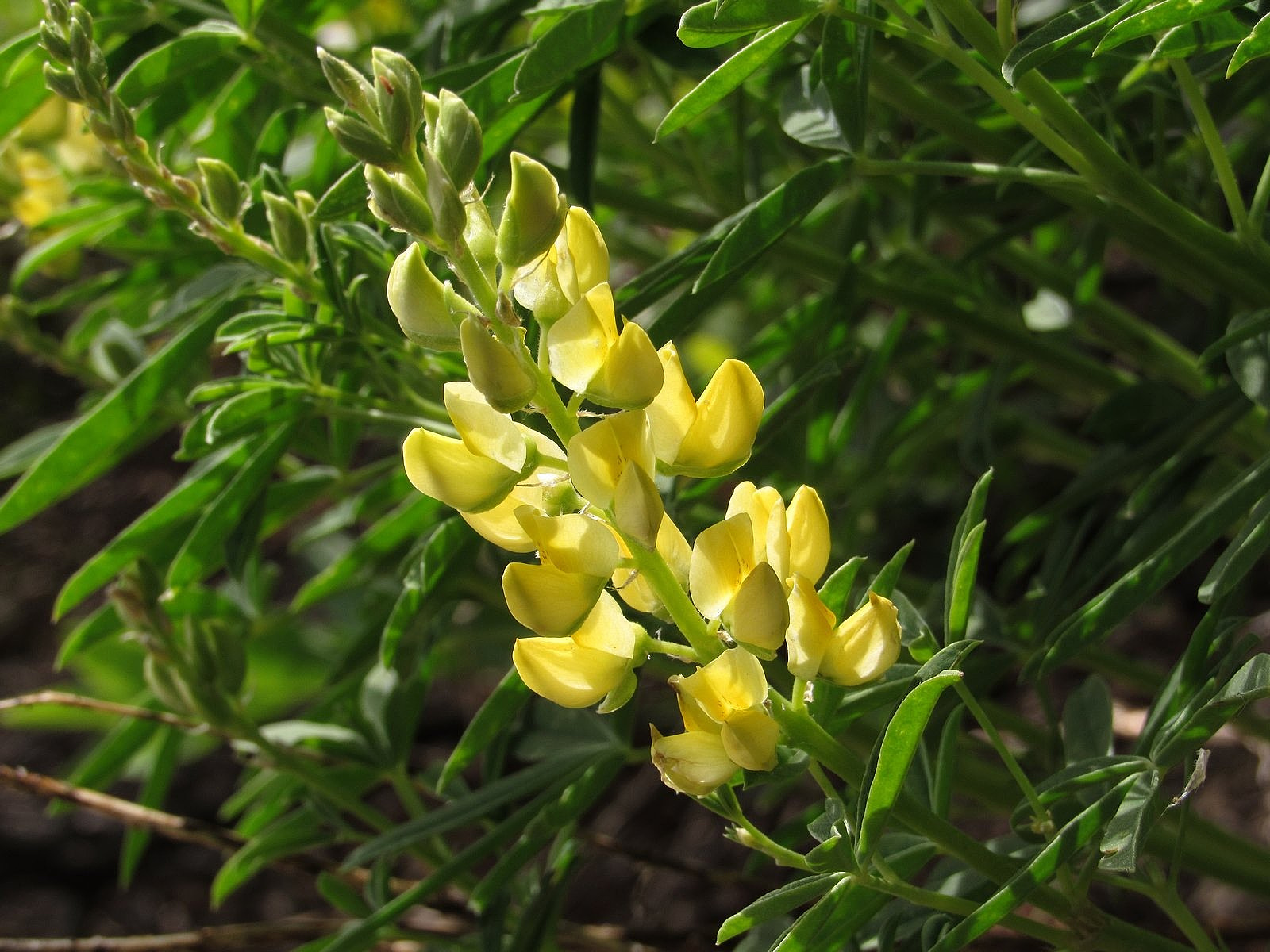
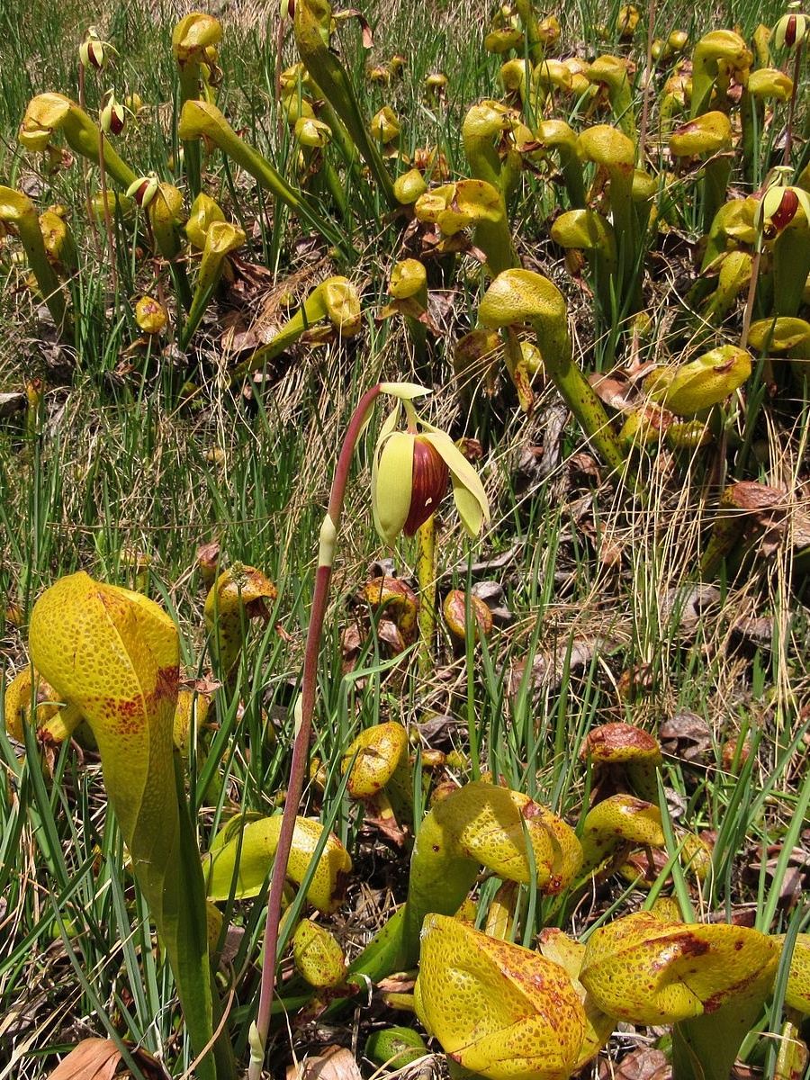
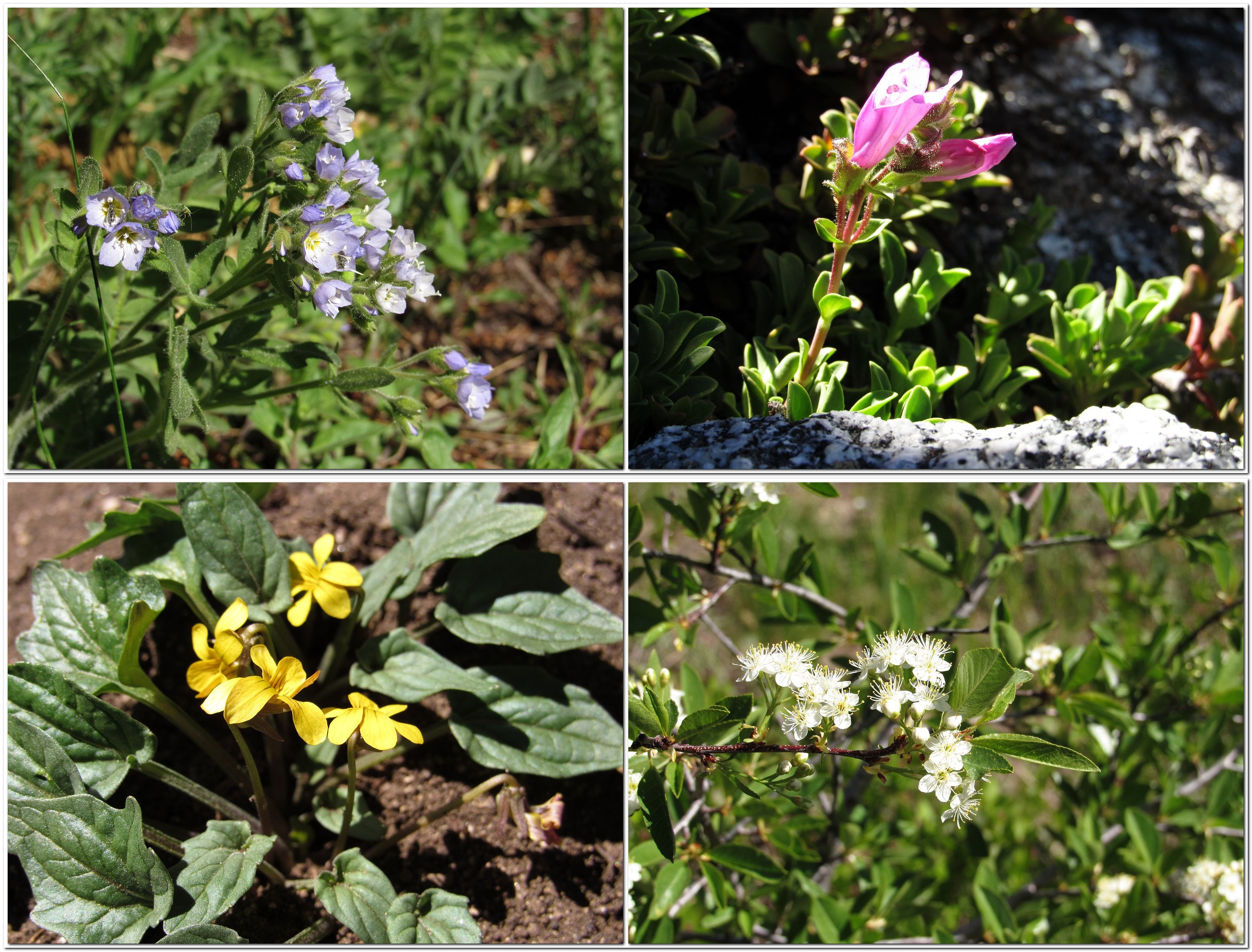
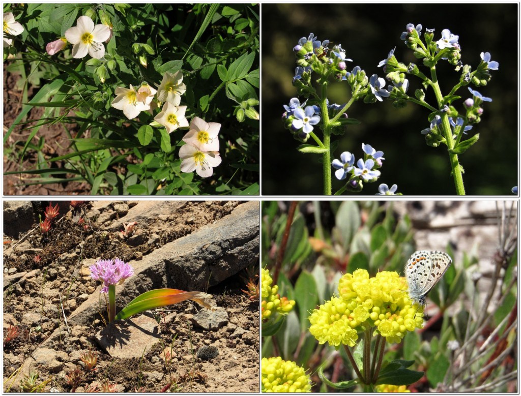
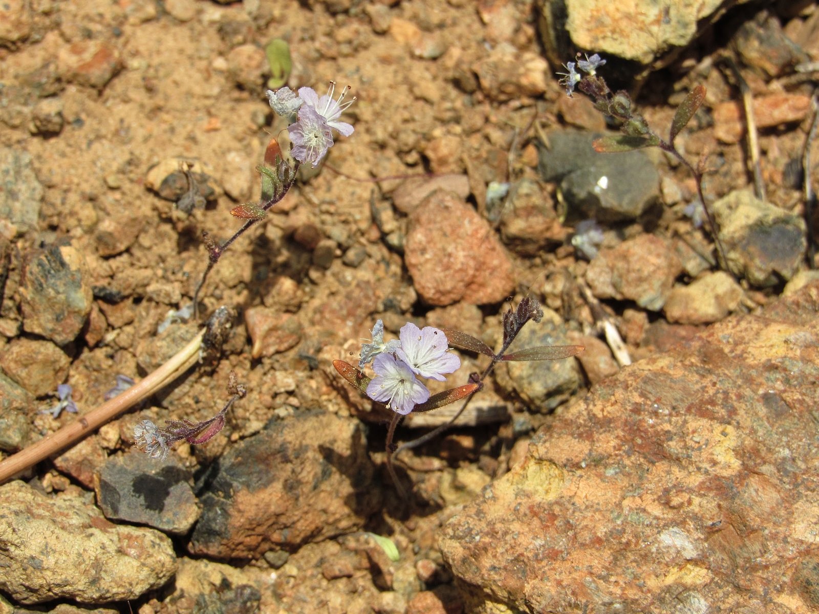
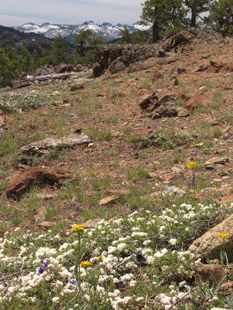
Of course, there were the flowers. These were the Klamath Mountains – pretty much ground zero for wildflower lovers in the western United States. They have two things specifically going for them. They were glaciated less extremely than other western ranges; and they contain large areas of peridotite and other ultramafic rocks, rocks composed primarily of minerals containing heavy concentrations of magnesium and iron. These factors have given the Klamaths a much larger-than-average number of endemic species – plants that grow no place else in the world. Some are there because they thrive on ultramafic soils, which tend to kill many plants; others are pre-ice-age relics that managed to survive the cold in the Klamaths, but no place else. Among the endemics are the carnivorous pitcher plant, or cobra lily (Darlingtonia californica), which thrives in the acid water of fens by eating insects and small frogs; the Mt Eddy lupine (Lupinus croceus), whose brilliant yellow flowers stand out in a genus that produces mostly purples and whites; and the Siskiyou phacelia (Phacelia leonis), a pale blue flower on a nearly invisible stem that floats in ghostlike masses a few inches above the rust-brown gravels of high peridotite ridges. And then there is the Scott Mountain phacelia, which is not a phacelia at all. Or maybe it is. Stay tuned.
The trip began, as our trips south usually do, with breakfast at the Breadboard in Ashland; then it was up and over Siskiyou Summit, under gray skies that we hoped would burn to blue before the day was done. We chose the route along the Shasta River to avoid the freeway’s climb over the Anderson Grade, and were soon sorry: the bridge over the Klamath River along that route is being replaced, and we were stuck on the old bridge for 20 minutes waiting for a flagger to give us the go-ahead (this was the reason for our different return route). Eventually, though, we did reach the Gazelle/Callahan Road, climbed up and over Scott River Summit, and made the 2000-foot ascent up Rail Creek to Kangaroo Lake. A quick jaunt along the lakeshore for photos, and then we hit the Fen Trail.
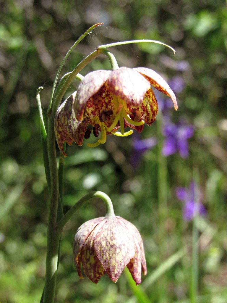
Almost immediately we spotted the Scott Mountain phacelia, although I have to admit I thought it was something else. It looks very much like a distantly-related plant called the California hesperochiron, and that’s what I thought I was seeing. But as I knelt to photograph it, I thought, “That doesn’t look quite right;” then I looked up, and spotted the information placard a dozen yards or so further up the trail.
The placard gave us part of the plant’s story; I have since pieced together the rest. The Scott Mountain phacelia was first collected in 1936 on the summit of Scott Mountain, by a wildflower enthusiast named Ella Dales Cantelow and her husband, Herbert, who sent the dried plant to a friend of theirs, a botanist named Thomas J. Howell. Howell was pleased by this “remarkable new phacelia”, and named it Phacelia dalesiana in Ella’s honor. It was soon established that it had a very limited range, growing primarily on ultramafic soils, and only in the Scott Mountains and adjacent parts of the Trinity Alps. It was also noticed that it wasn’t quite like any of the other phacelias. In 1953, it was placed in a new phacelia subgroup, named Howellanthus (after Thomas Howell); more than a half-century later, it was still the only member of that subgroup. In 2010, a San Francisco State University graduate student, Genevieve Weldon, published a paper coauthored by the eminent botanist Robert Patterson which suggested that the subgroup Howellanthus should become the genus Howellanthus. Given Patterson’s status, the change rapidly gained acceptance, and the botanical world had a new genus.
Or not. Browsing through the literature just this morning, I noticed that one online naturalists’ reference, iNaturalist – which changed the plant’s genus along with everyone else soon after Weldon and Patterson’s paper came out – had recently changed it back. Botanists’ food fights being what they are, I think I’ll refrain from dipping into this one any further. But I do think we should probably keep “phacelia” in the common name.
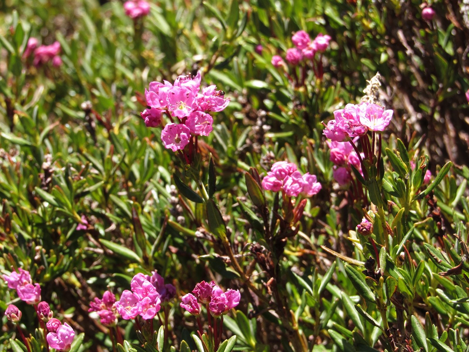
The Scott Mountain phacelia was the highlight of the day, so I’ll just describe the rest briefly. The Fen Trail lived up to its name, passing multiple fens, most of them full of Darlingtonia; it also provided a spectacular viewpoint, on a granite knoll overlooking Kangaroo Lake.
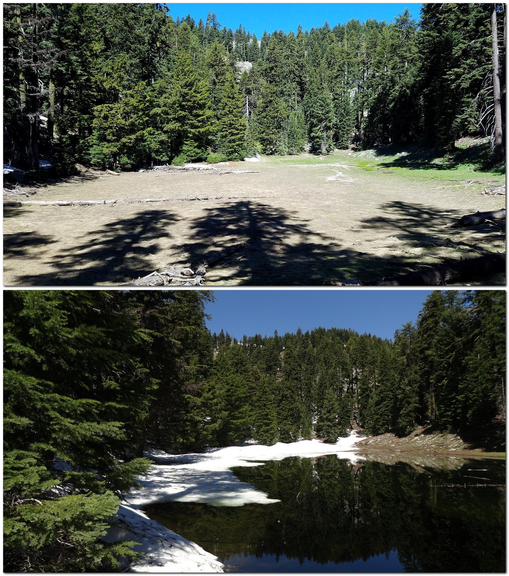
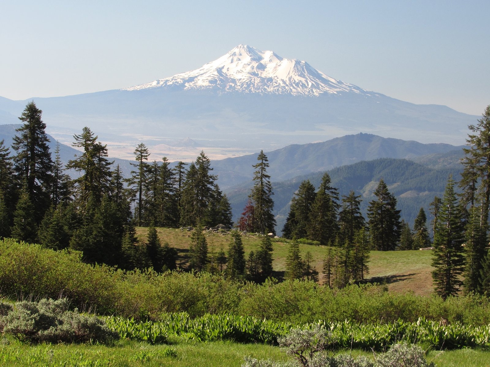
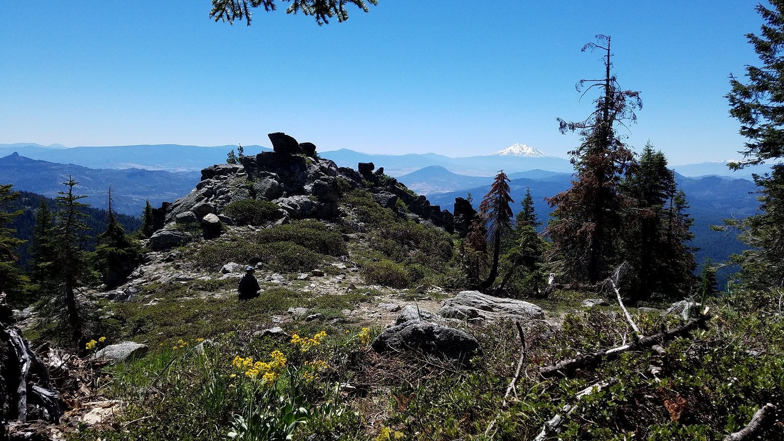
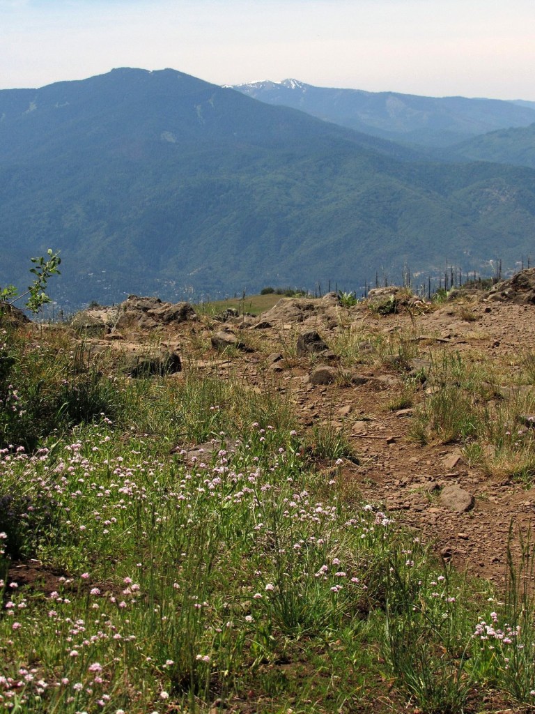
Snow blocked the trail a little way below the ridge, forcing us into some steep cross-country scrambling, which was rewarded by a ridgetop full of flowers and big views southwest to the distant, snowy Trinities. It was three miles via the PCT from there to the saddle over Bull Lake, and none of it was dull, from the rocky peaks above us to the flowers and snowfields at our feet to the four small lakes we passed along the way, all of them well below the trail. The sky cleared, although not entirely: I was hoping to see that world-class view of Mt Shasta over Bull Lake from the saddle, but all I got was a bit of the mountain’s base peeking out from the skirts of some of the few remaining clouds. But we did get a great view of Mt Eddy, and we had a wonderful time, no matter what genus that phacelia eventually turns out to belong to. Check out the pictures.
The Trinity Alps from the Scott Mountain ridge: the white mass of flowers in the foreground is snowbush. 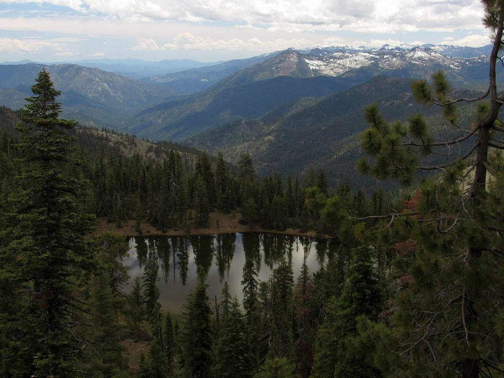
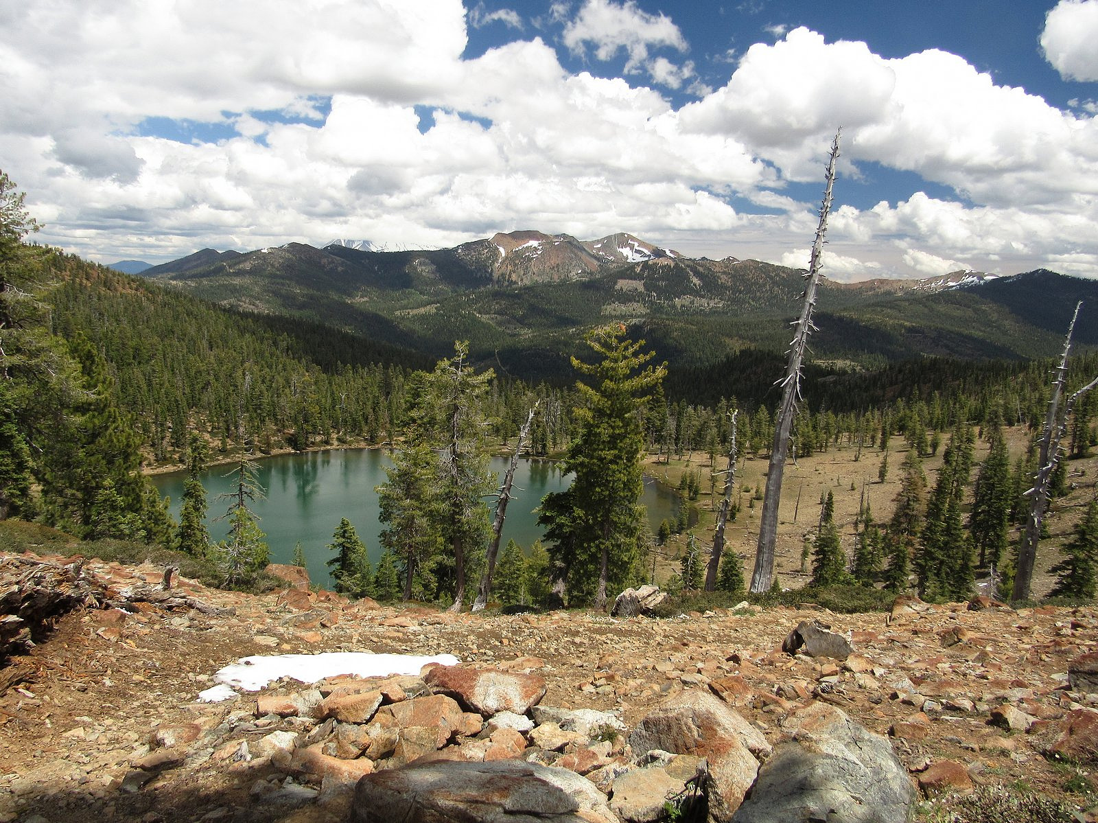
One of the small unnamed lakes. 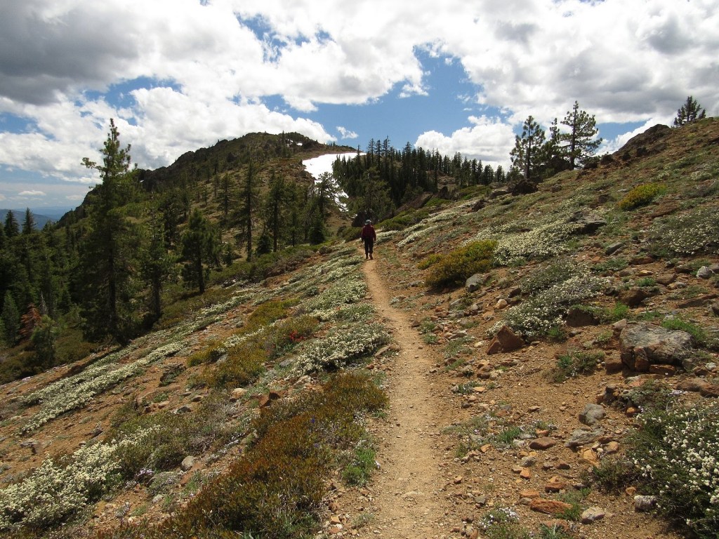
On the Pacific Crest Trail: lots of snowbush!