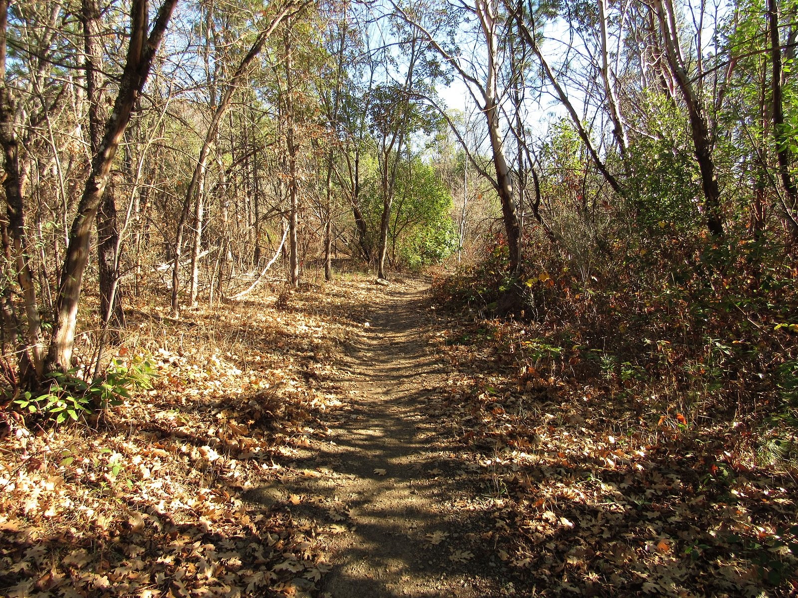
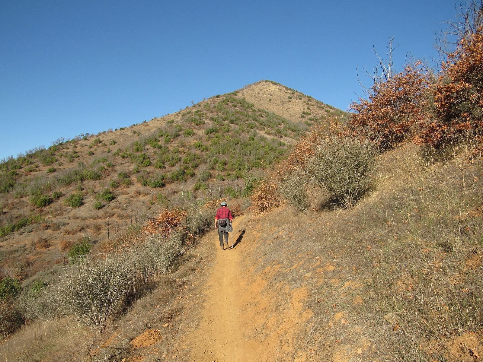
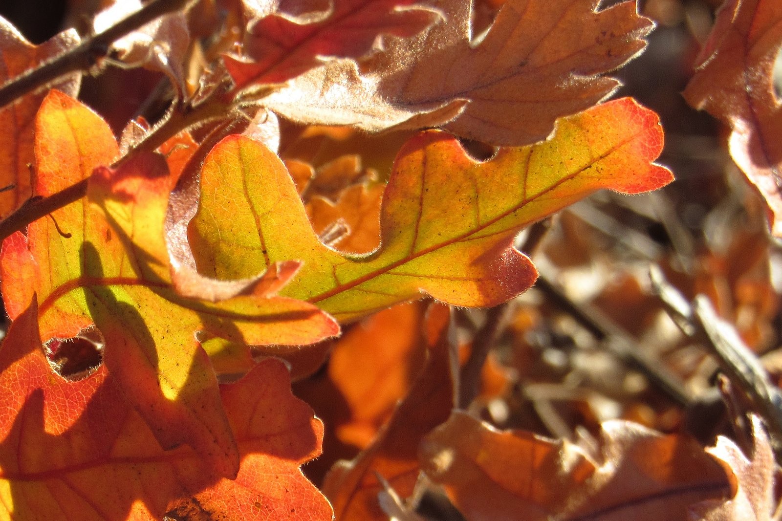
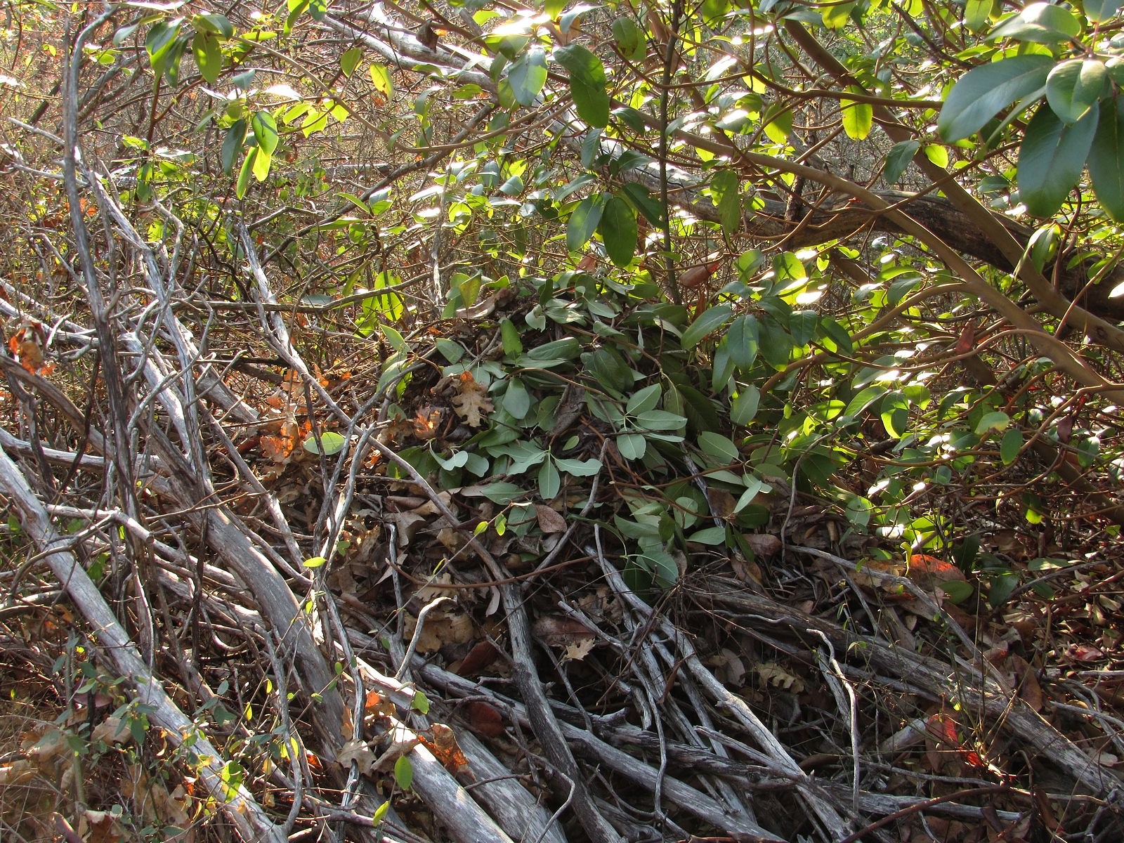
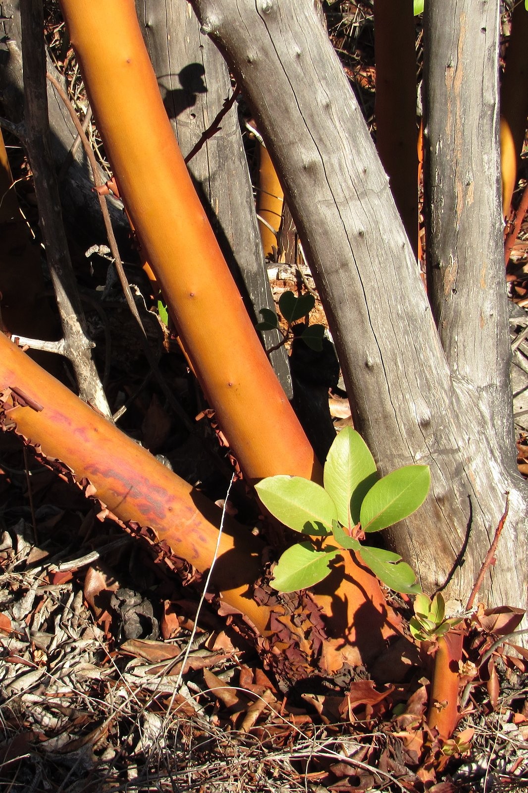
A few pictures from our hike at the Mountain of the Rogue BLM recreation area near Rogue River last week. This is a new trail system, built in 2015; it’s primarily designed for mountain bikes, but hikers can use a few of the trails. The main trail goes all the way to the summit of Tin Pan Peak – a 1300′ elevation gain from the trailhead in a little under four miles. We’re saving that for another day. Today we were just checking out the area, so we stopped at about 850′ above the trailhead, at the intersection of the Rat Pack and Breakdown trails, about 2.5 miles in. No flowers (I understand there are plenty in the spring). There was some nice color from some of the young oaks, and we saw several woodrat nests. Nothing much else to say: enjoy the pics (and scroll to the bottom for a link to something else new).
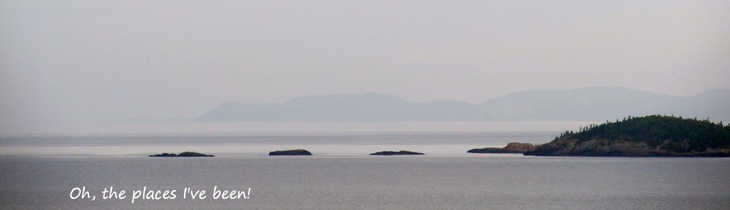
New Entry in Galleries: Oh the Places I’ve Been!
Canada’s Pukaskwa National Park, on the north shore of Lake Superior, is one of the most spectacular waterscapes in North America. Check it out by clicking on the image below.
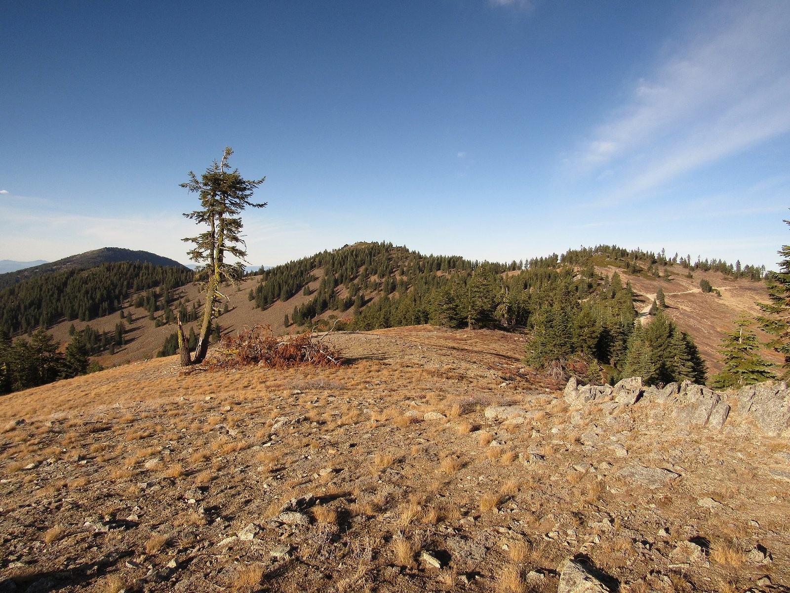
Snow has not yet come to the high country of the Siskiyous. This is worrisome for the winter we are about to have, but it is also an opportunity. On November 6 we took advantage of that opportunity, with a ramble along the Split Rock Trail from Road 20 to the summit of McDonald Peak.
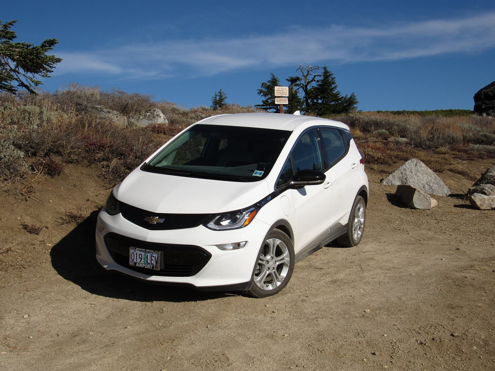
The Bolt at the Split Rock trailhead.
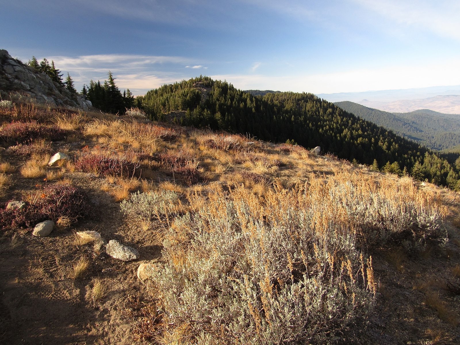
The Split Rock Trail begins at a tiny parking area just west of the ridge that forms the west wall of Grouse Gap, the large basin west of Mt Ashland. It ends at the summit of Wagner Butte, five miles to the north along the same ridge. A “use trail” for many years, maintained by hikers’ feet, it has recently been adopted into the Rogue River-Siskiou National Forest trail system, and now rates a trailhead sign and occasional maintenance. McDonald Peak is roughly a mile in. It is 7226 feet high, but that is less impressive than it may sound; the trail goes almost directly over its summit, and the entire route from trailhead to summit stays above 7000 feet.
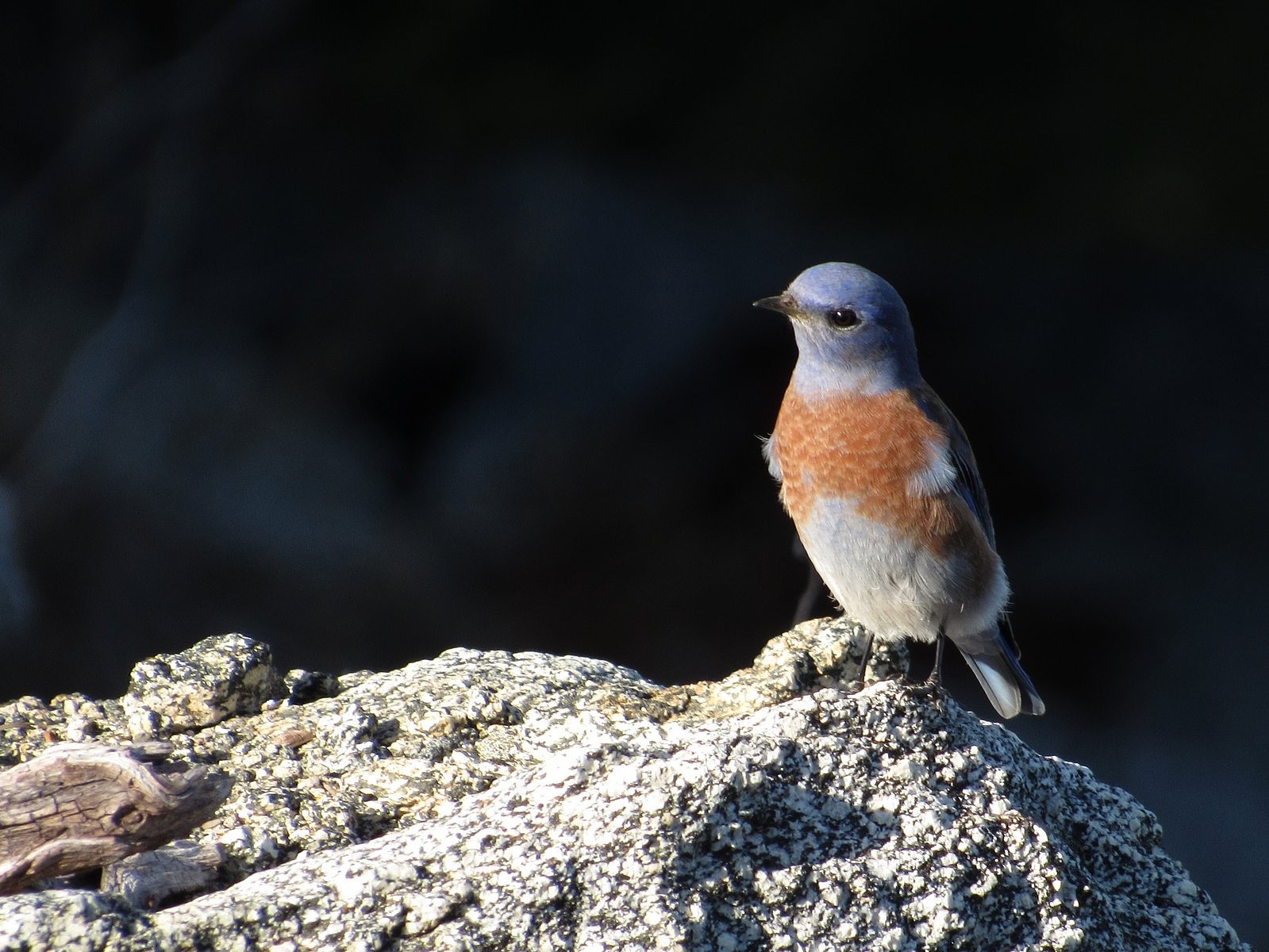
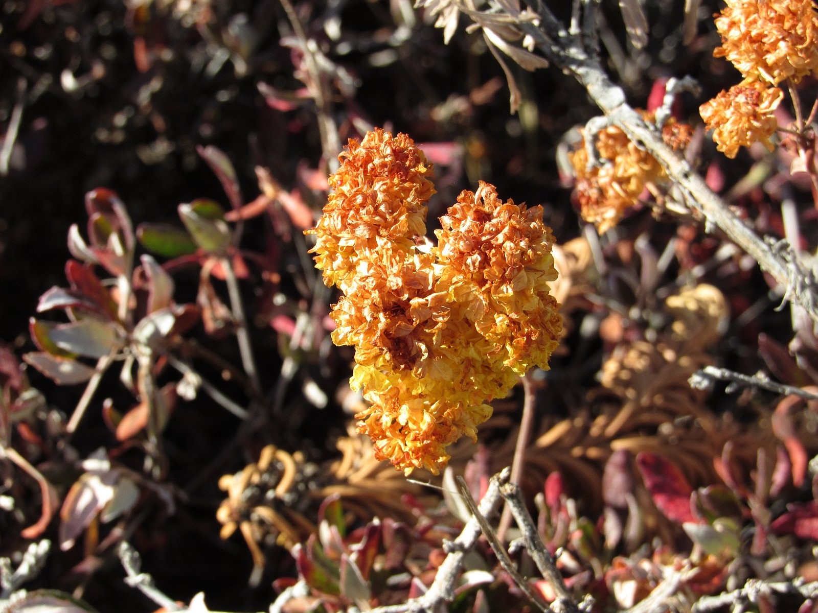
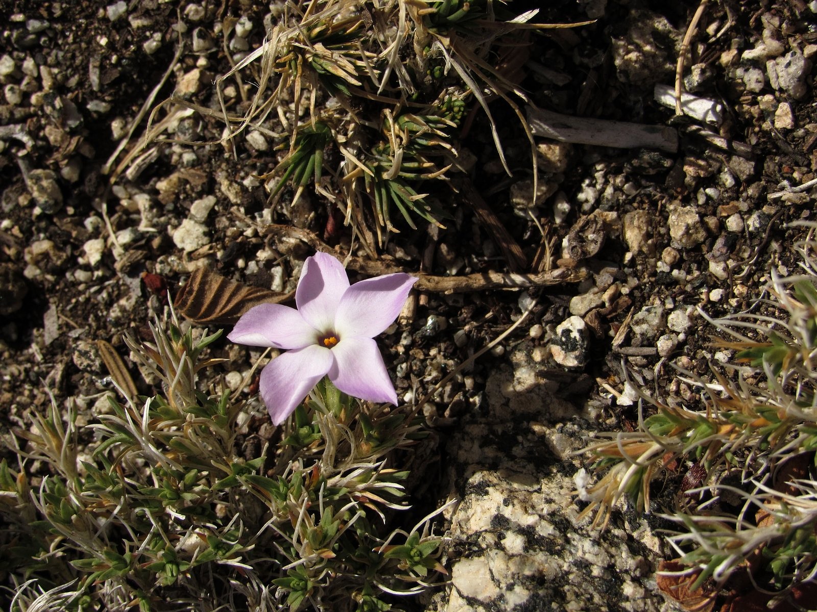
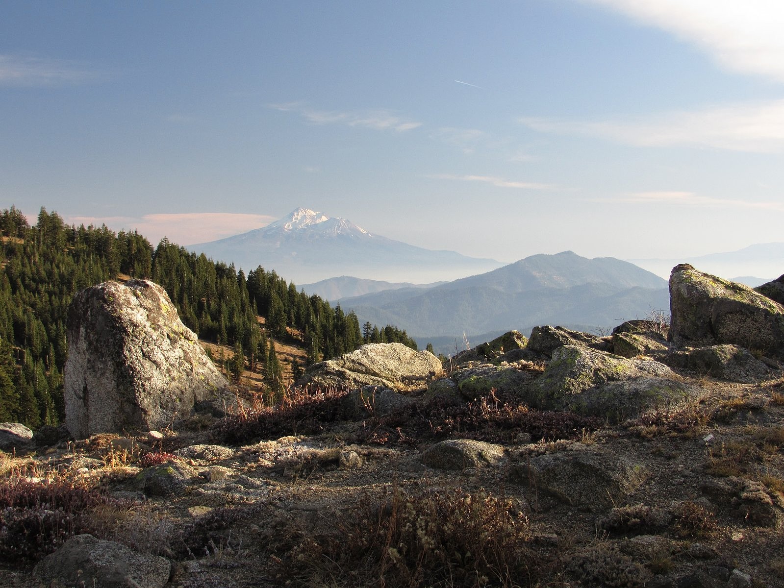
I suffer from Reynaud’s Syndrome, which cuts off the circulation to the tips of my fingers if I get too cold, so we didn’t leave the house until after noon. The drive up was uneventful (although I do wish Road 20 would get some proper maintenance for what are developing into some pretty bad potholes), and we were on the trail by 1:30. There was haze in the valleys, but we were above most of that, and the views were glorious, stretching from Mt Shasta to the Crater Lake rim and almost everything in between. A flock of bluebirds swirled past as we climbed the south slope of the small knob we call “Little McDonald Peak” near the trailhead: they flew in 15s and 20s, fifteen or twenty feet in the air and then fifteen or twenty seconds on a convenient rock or red-fir limb. Near the same spot we found a few sulphur flowers still partially in bloom.
Western bluebird.Sulphur flower
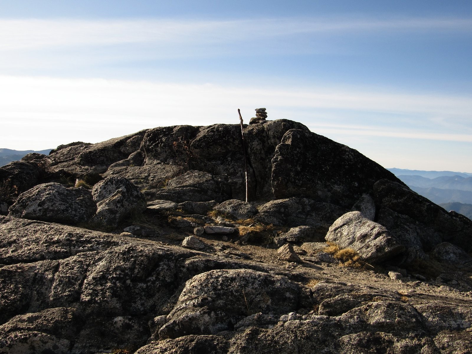
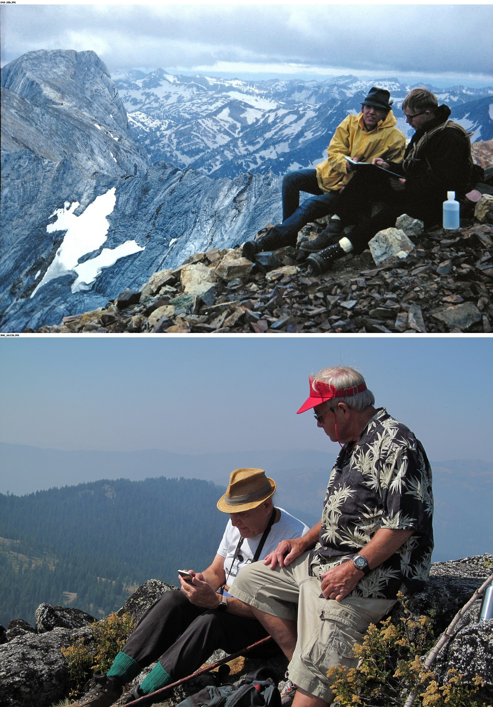
The actual summit of McDonald Peak is a rock outcrop about fifteen feet high, which the Split Rock Trail bypasses on the west side. It’s an easy scramble, so of course we summited. This was the site of the “geezer climb” my old friend and former climbing companion Cliff Olin and I made together in August 2017, roughly 50 years after our last previous climb together (and a lot easier than that one was!). Being there brought back pleasant memories of that trip.
The summit of McDonald Peak.
One lone phlox in bloom just below the summit.
Right: Cliff Olin and me summiting two different mountains. The top photo was taken on Sacajawea Peak in the Wallowa Mountains in 1966; the bottom photo is from our “geezer climb” in 2017.
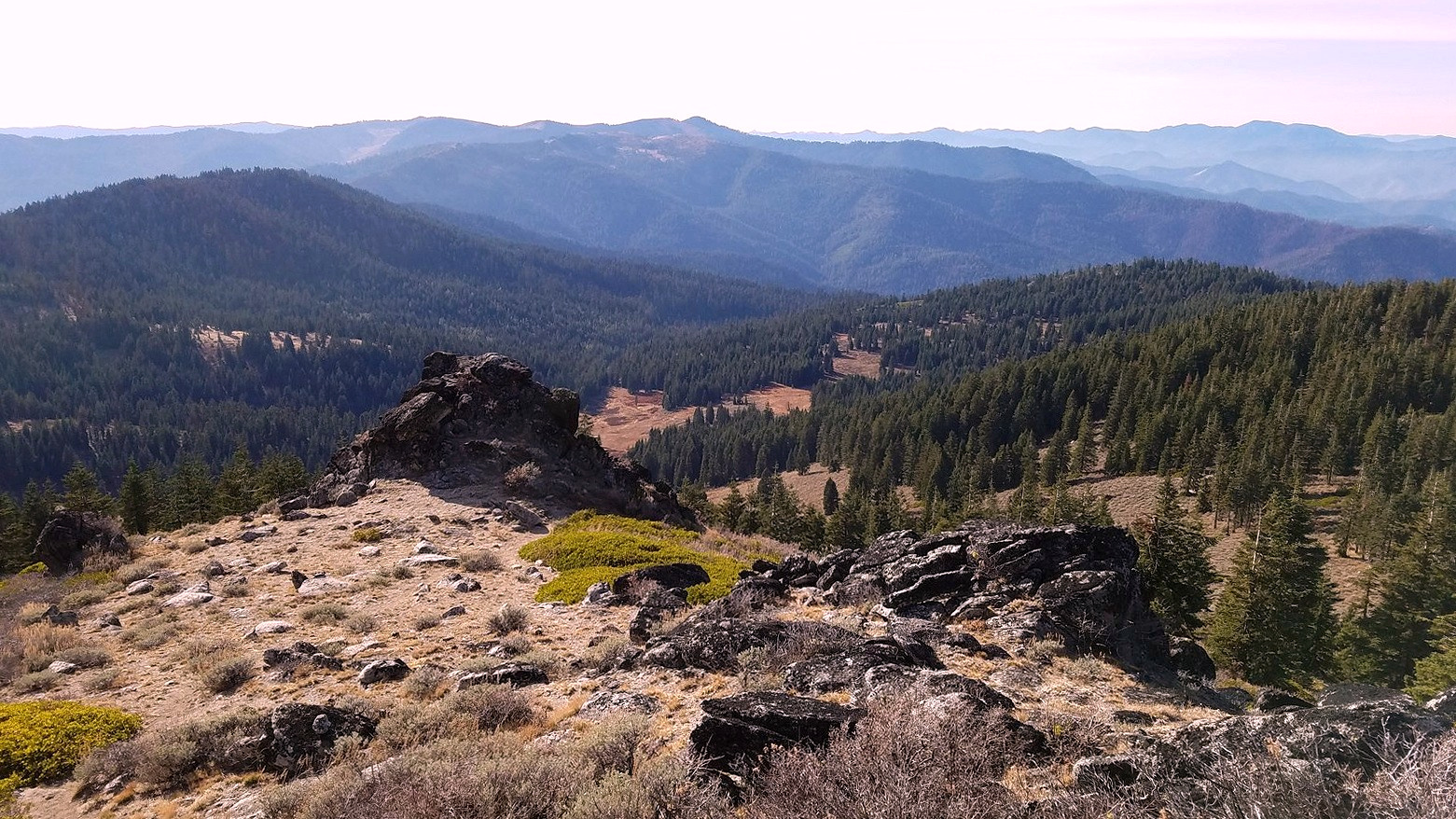
Looking west from the summit.
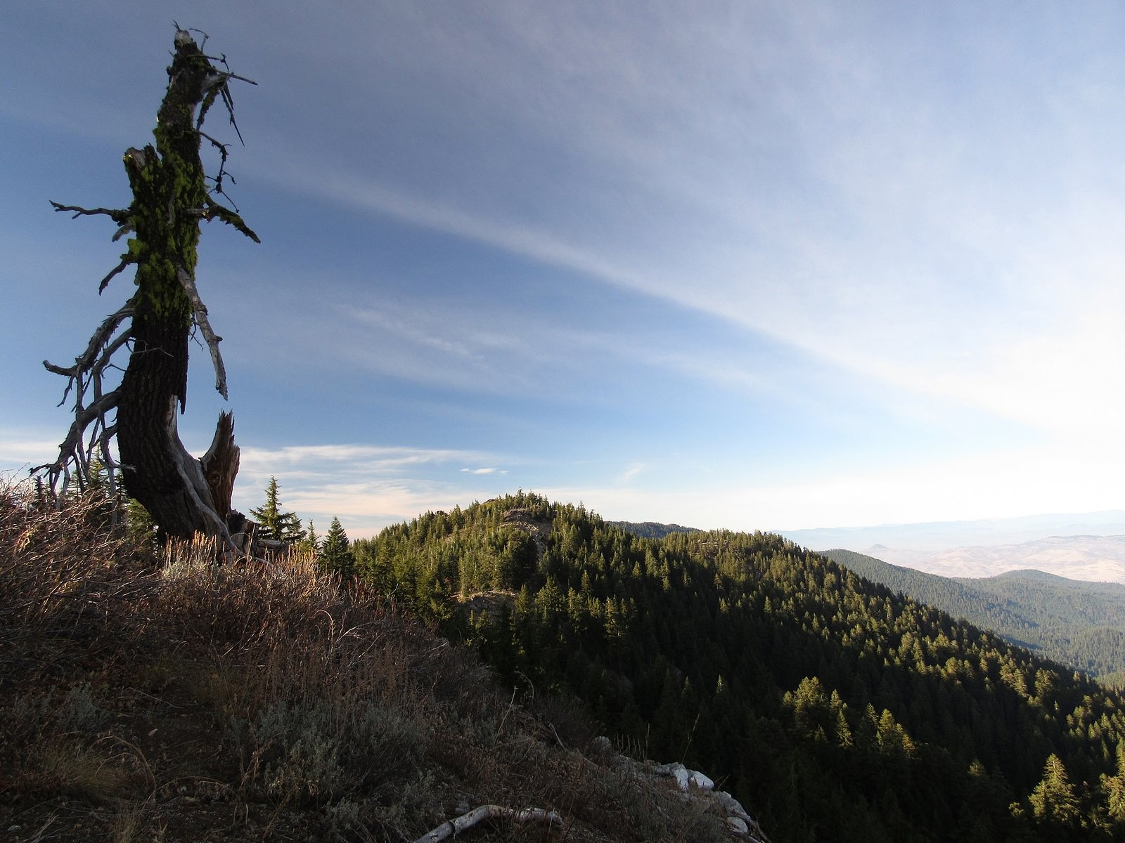
Above and below: two views of McDonald Peak from the Split Rock trail.
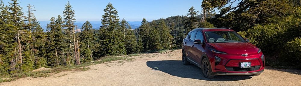
It was still early when we got back to the car, so we added the half-mile round trip to the top of the gentle, nameless knoll west of McDonald Peak along the main crest of the Siskiyous. The electric propulsion system of the Bolt performed its magic on the way home, actually adding fuel to the battery instead of using it up as we came down the Mt Ashland Ski Road and the stretch of I-5 between Siskiyou Summit and Ashland, so we reached our garage with about the same charge showing on the range indicator as it had shown at the trailhead (just try to do that in a gas-powered vehicle). What I hope is the first of our winter storms is expected to come through at the end of this week, so this was probably our farewell trip to the high country for 2019.
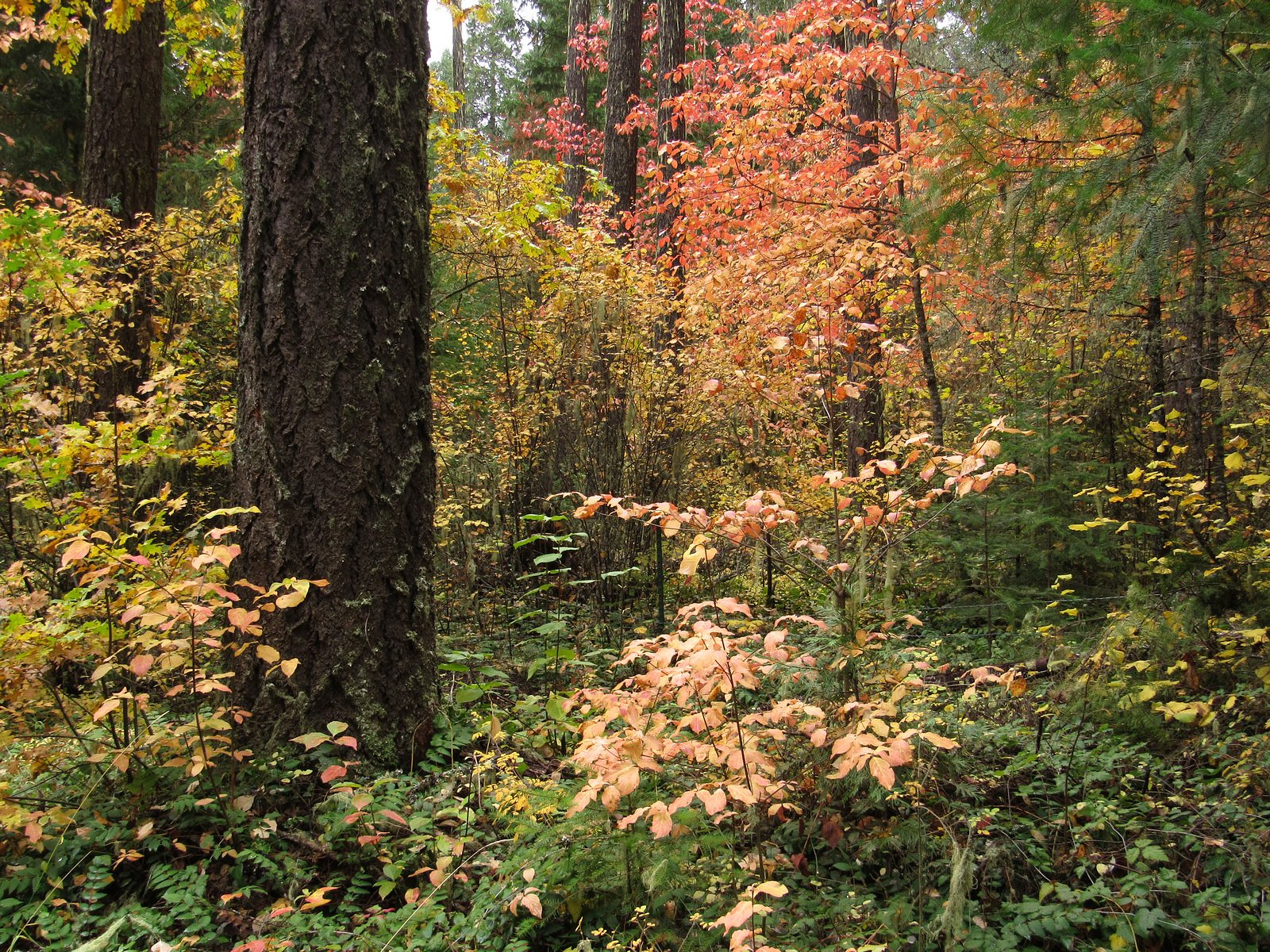
Oregon’s forests may be mostly conifers, which stay green all year, but that doesn’t mean they’re entirely devoid of color. There are hardwoods in the understory, and they change into fall dress that’s every bit as bright and cheery as that worn by their siblings in the forests of New England; it’s just that there are far fewer of them, and they are usually much smaller. So you have to seek them out.
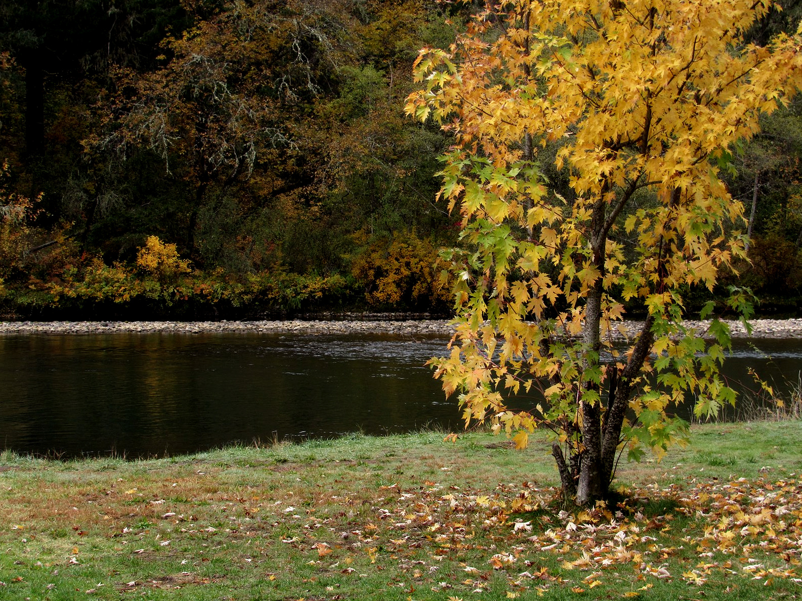
In Southern Oregon, the best place to find native fall color is along the upper Rogue River, in the Cascade Mountains west of Crater Lake. The color there is provided mostly by three species: bright red by vine maple, maroon by dogwood, and yellow by bigleaf maple. Vine maple is a forest-edge species, and it likes large linear openings such as those provided by rivers and highways; bigleaf maple is riparian, and is largely limited to stream bottoms. Dogwood is a shade-lover, and may be found just about anywhere where there are enough larger trees to protect it. Usually these trees are loners, providing splashes of color here and there; but occasionally they bunch up, forming displays that are as fine as anything that has been imported by homesick New Englanders into our city parks.
The morning of October 22 was teetering on the edge of rain, and the air was hazy. That was all predicted to go away by afternoon, so we set out anyway. We stopped for breakfast – with fresh-squeezed orange juice – at a lovely little restaurant in Eagle Point called Crackin’ and Stackin’, and headed upriver. The air was still grey at Casey State Park, and the colors were muted.
The Rogue River at Casey State Park.
At the top of the hill above Lost Creek Reservoir we turned onto Mill Creek Drive and took it into Prospect; up there, what had been overcast lower down was mist, dancing around the trees, and things began to get interesting.
Along Mill Creek Drive near Prospect.
Avenue of the Giant Boulders from the Mill Creek Drive bridge.
The day’s goal was Woodruff Bridge, down a side road off of highway 62 a little more than halfway between Prospect and Union Creek. Colors are often good there, but this year they were a bit of a disappointment, so we didn’t spend long.
The Rogue River, looking upstream from Woodruff Bridge.
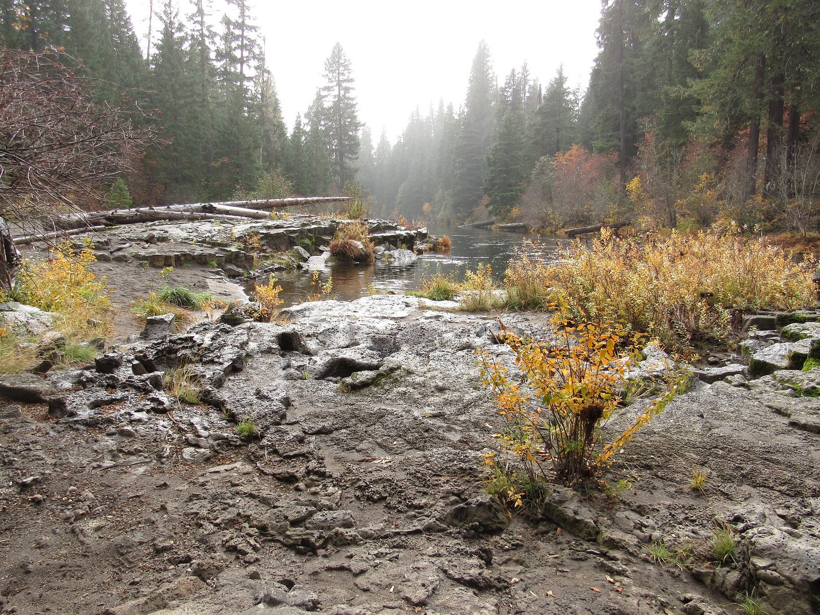
There is a back road down the west side of the Rogue in this area, to a bridge lower on the river; the road and the bridge bear the unimaginative but apt names of River Road and River Bridge. The road was rough, with occasional potholes full of muddy water, but the Bolt handled it comfortably, and we were soon crossing the river again and parking at the River Bridge Campground for another roam along the river – nice mists, and interesting geology, but still not much color. The only really good color show of the day to that point was partway along the road back out to 62 from River Bridge. But that was about to change.
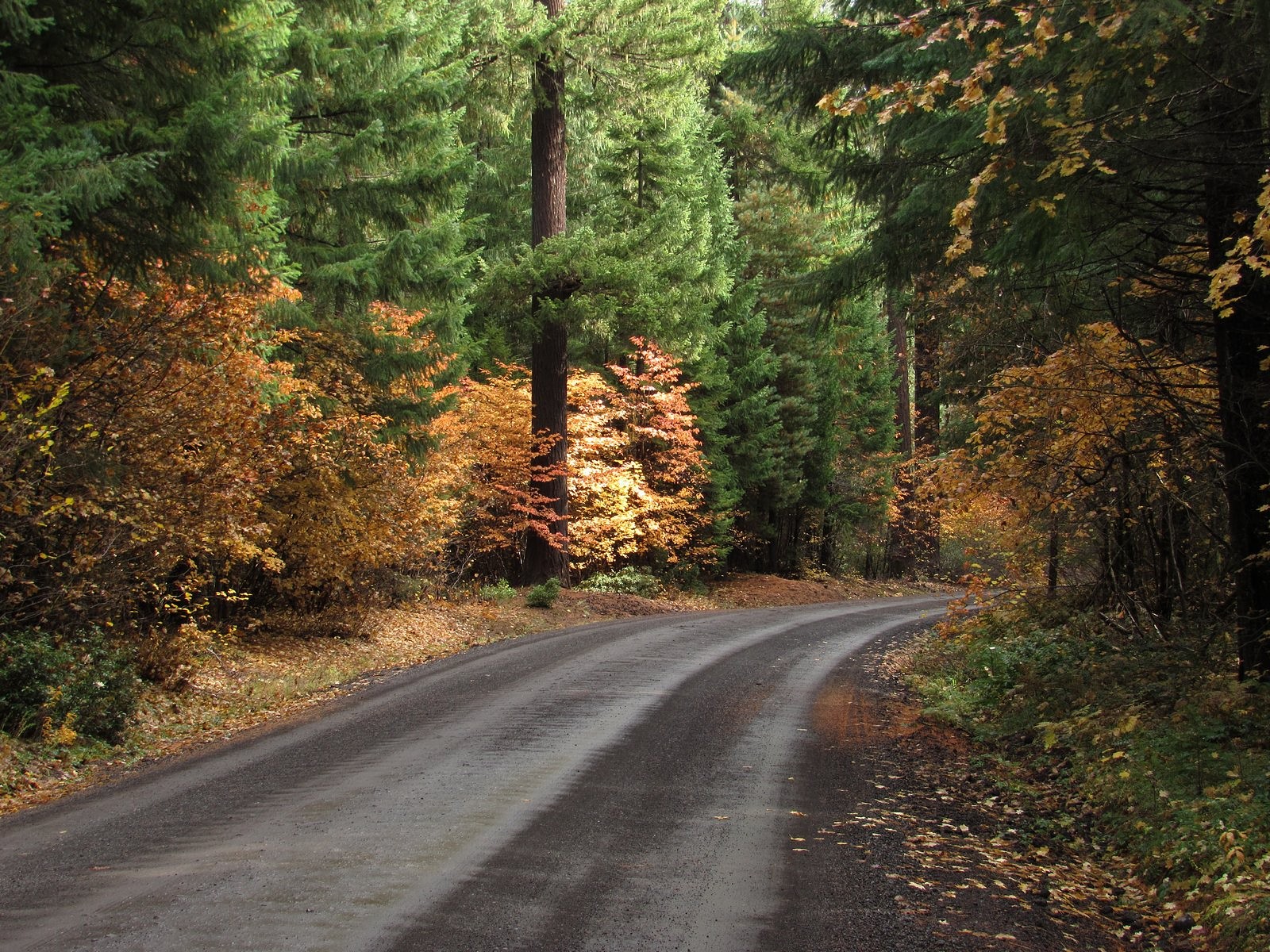
Looking downstream from directly beneath River Bridge.Forest road color, Rogue River-Siskiyou National Forest.
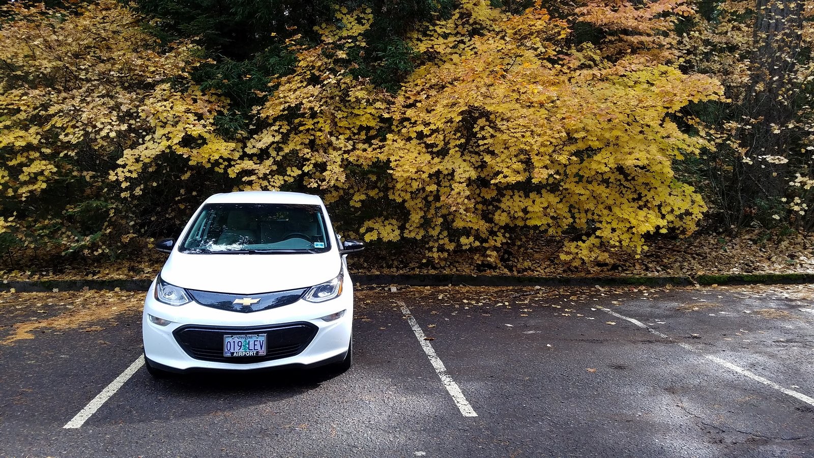
The Bolt in the parking lot for Pearsony Falls.
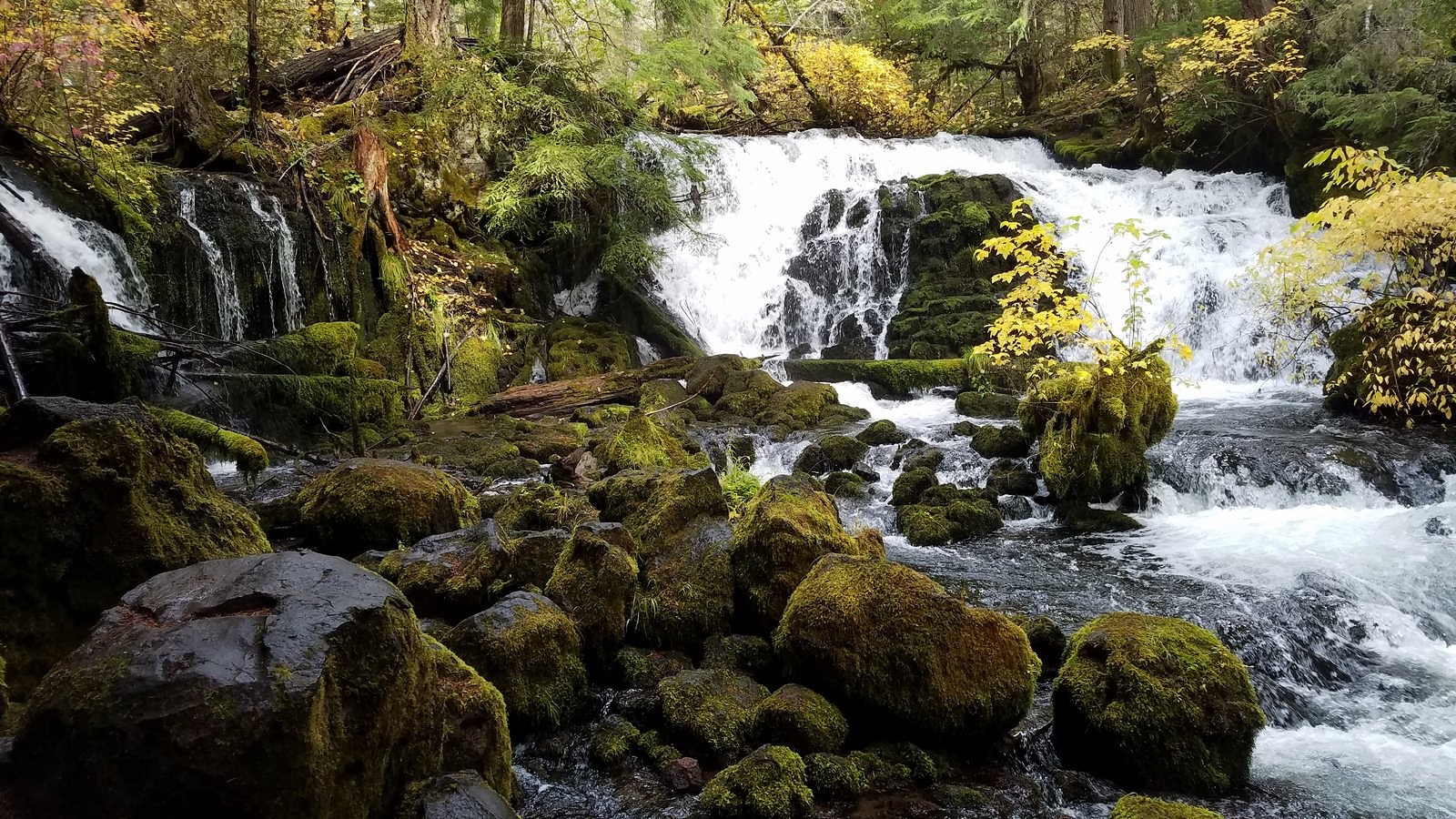
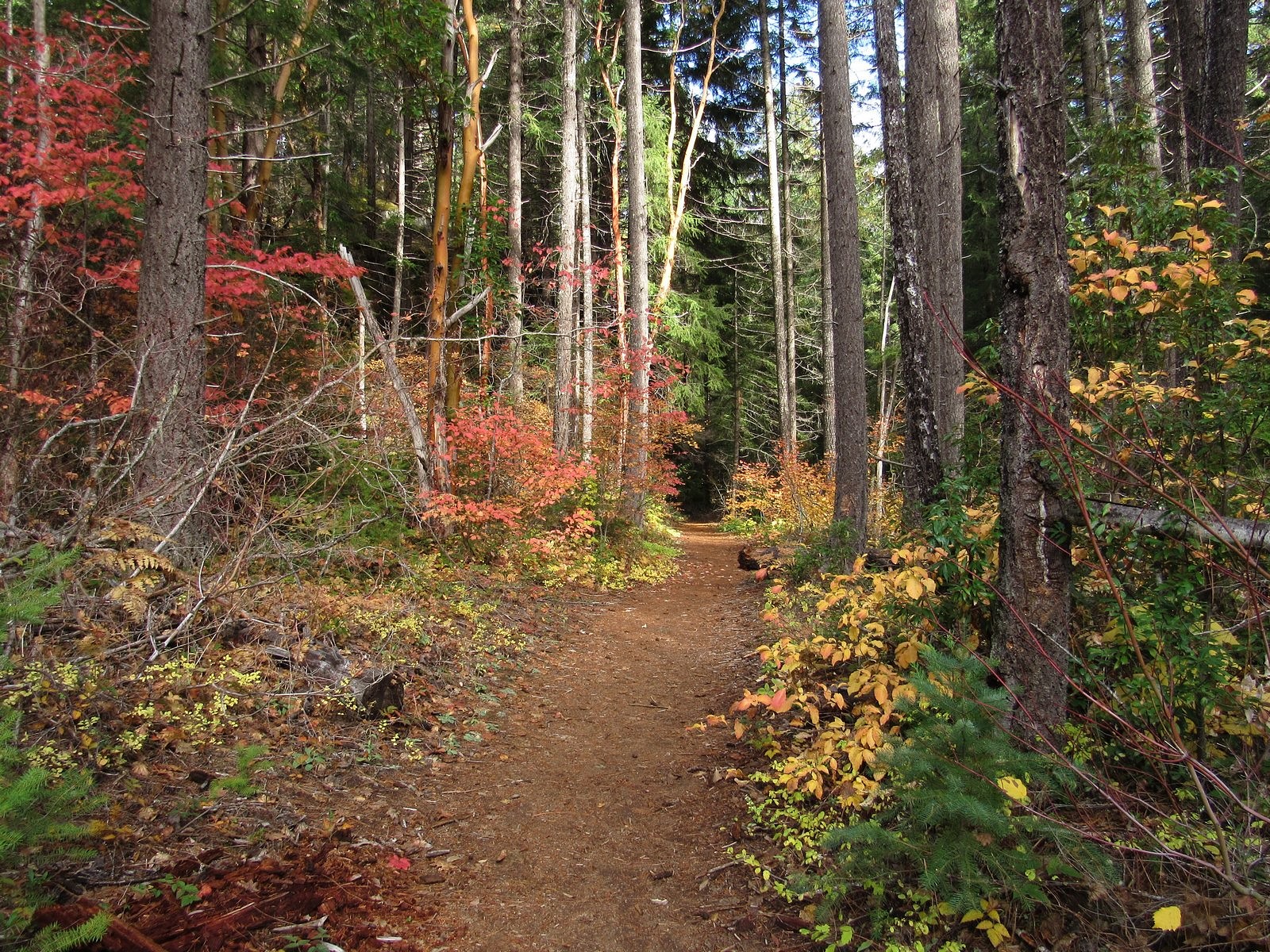
Back in Prospect, we made a spur-of-the-moment decision to stop at the Pearsony Falls trail, part of the Prospect State Scenic Area. This short trail – barely half a mile long – is one of our favorites, and this was a great day to be there. The mists were beginning to burn off, and the woods were full of color. The area around Pearsony Falls has the feel of a rain forest, with much moss and sword fern; the falls themselves, on Mill Creek, are only about 15 feet high but are about as lovely as any waterfall I know of anywhere.
Pearsony Falls.
We walked on down to the river, reaching it just as the sun broke out. Sometimes, you just have to have faith that things will eventually come out right.
Trail between Pearsony Falls and the Rogue River.
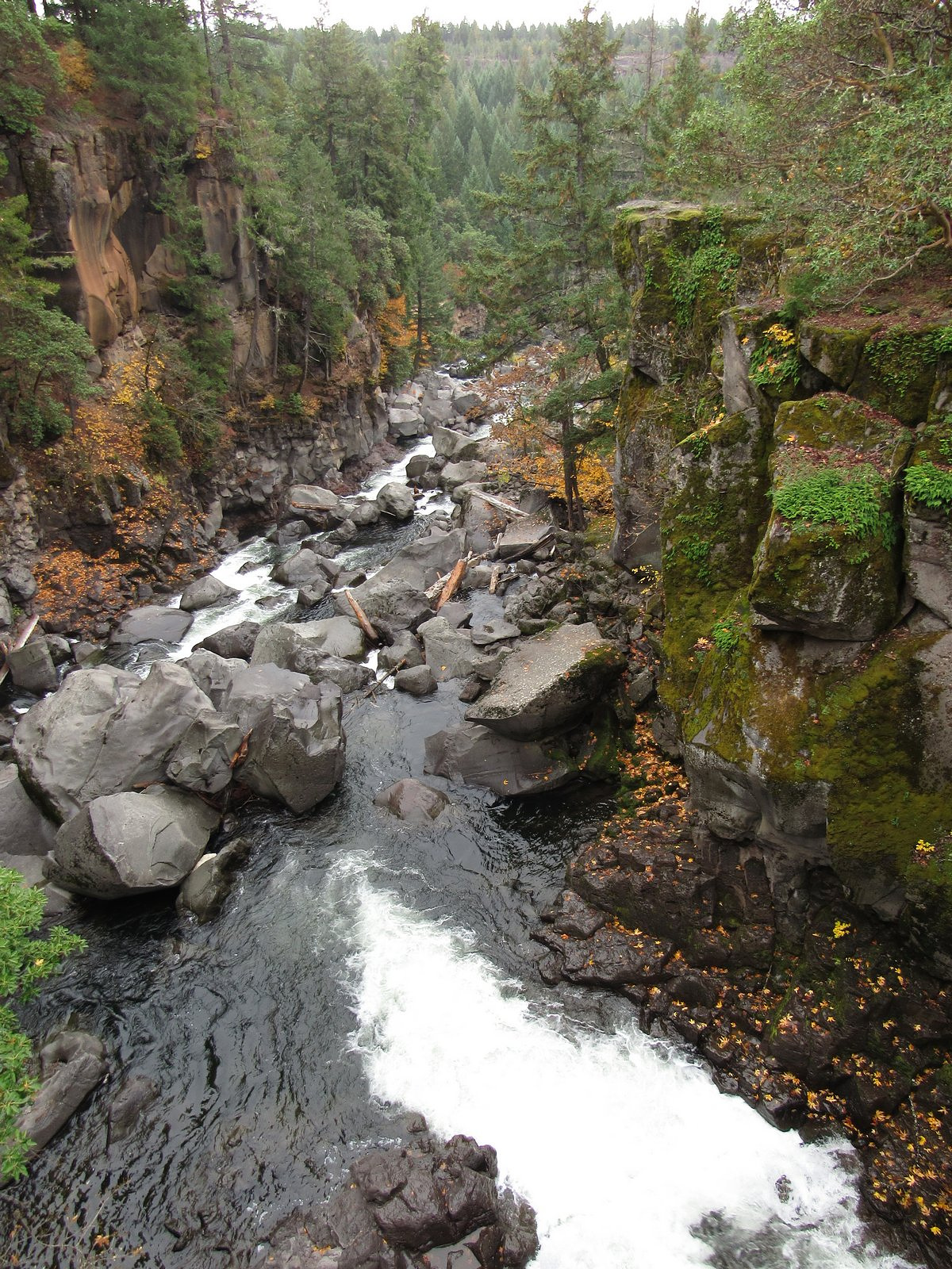
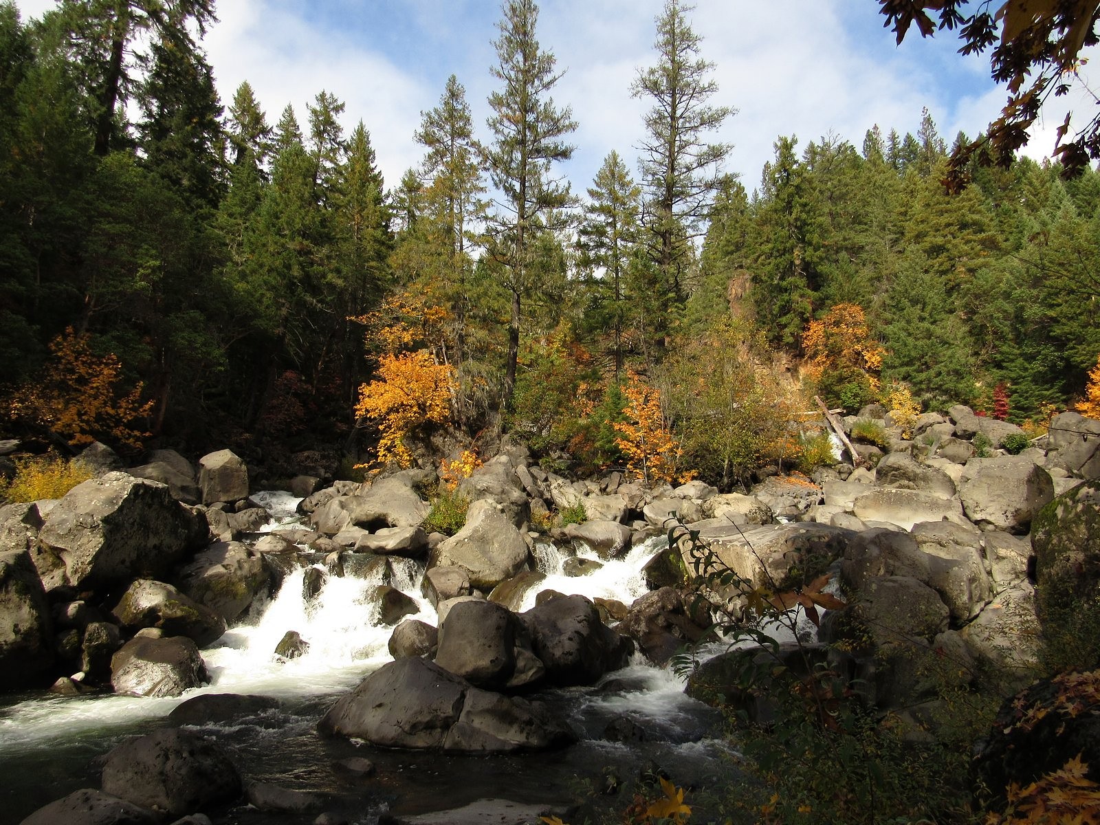
The Rogue River at the bottom of the Avenue of the Giant Boulders.
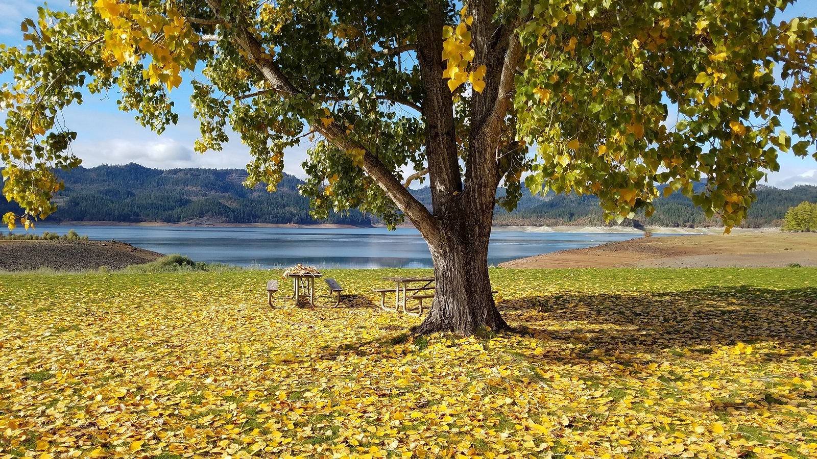
Cottonwood at Stewart State Park on Lost Creek Reservoir, on the way home.