Silent Creek

Fall has begun in the high country. Here in southern Oregon, our falls do not arrive in a blaze of color like New England’s or Upper Michigan’s; they ease in as quietly as the footfalls of kittens. A crispness and freshness to the air; a flush of red and yellow from the huckleberries in the understory. Later there will be new snow on the peaks and flashes of brilliant reds and yellows from the vine maples and bigleaf maples hanging over the rivers. Now, at the tag end of September, there is only a hint of these glories yet to come. But the huckleberries have already turned.

Huckleberry bushes along Silent Creek.

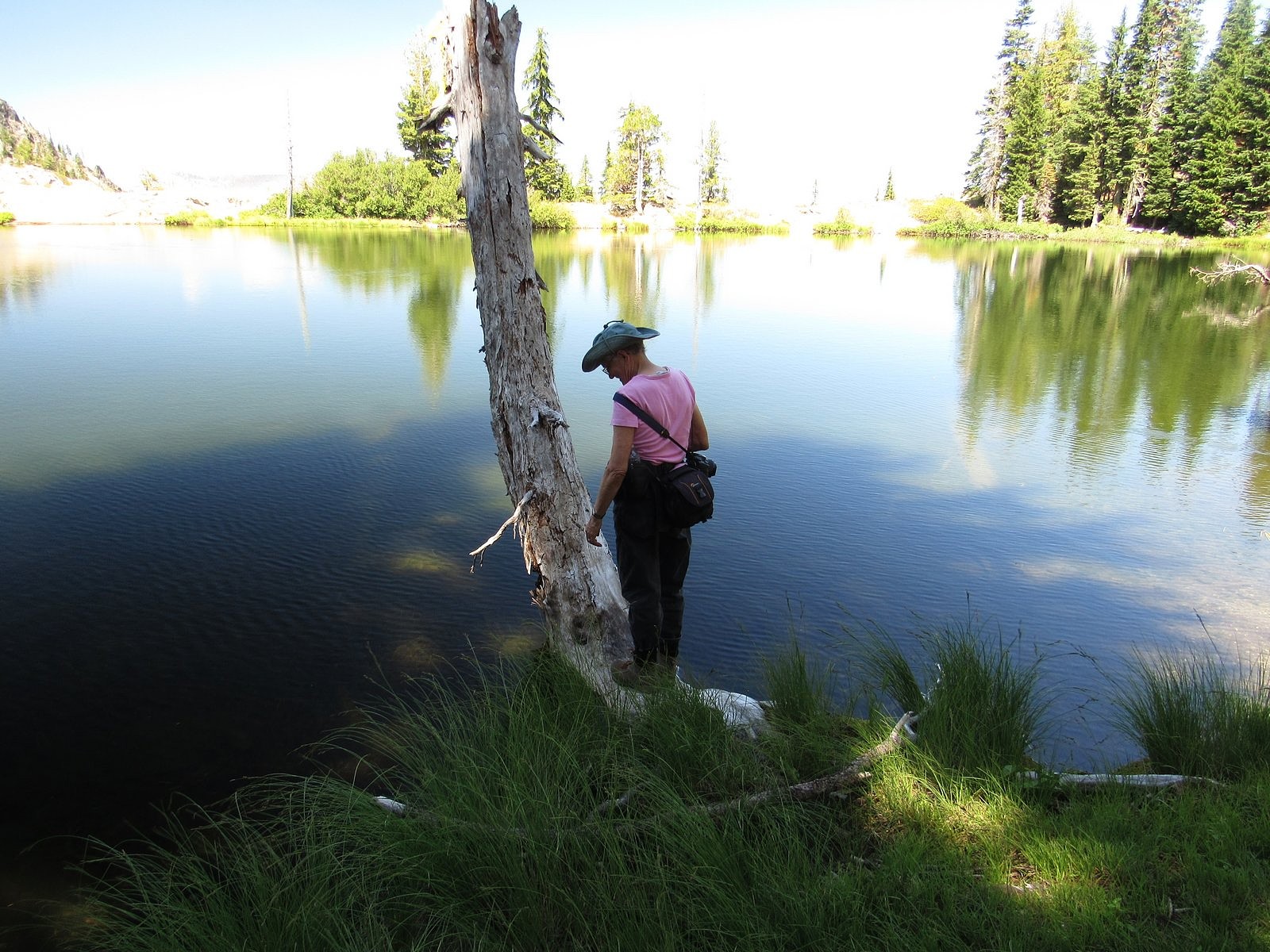
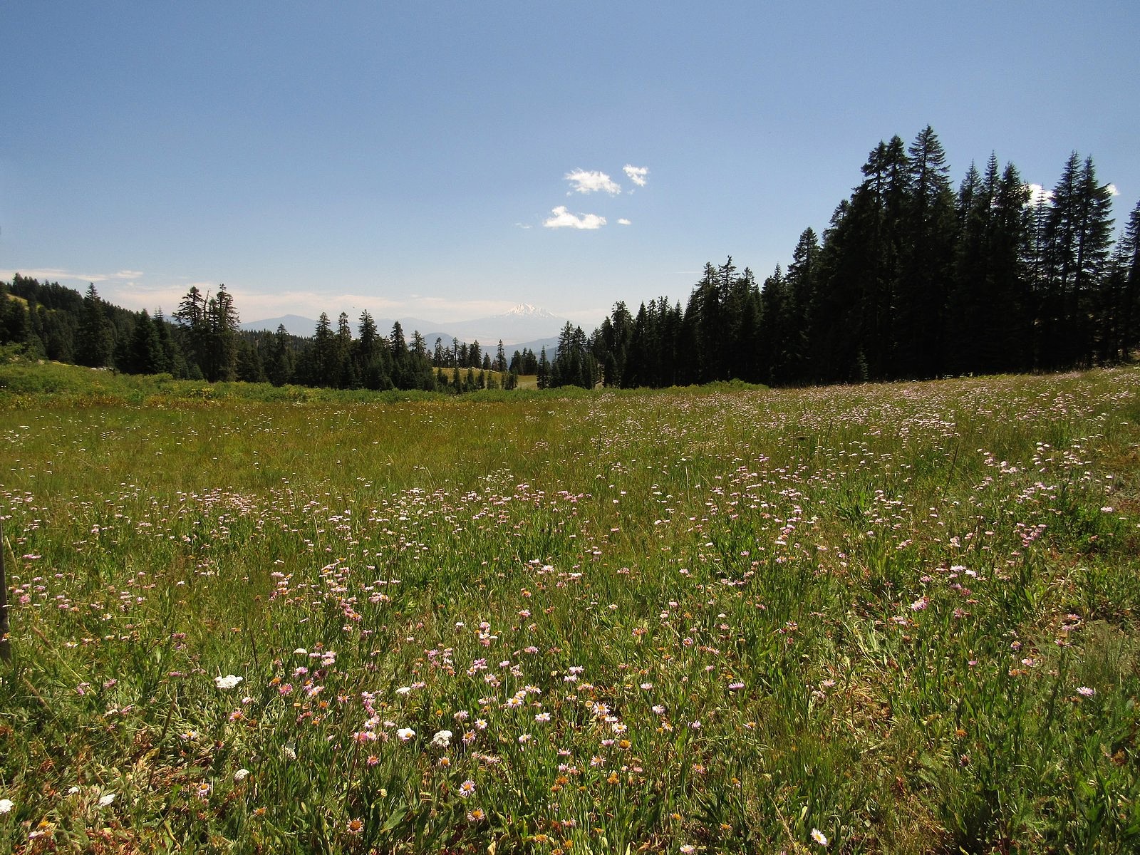
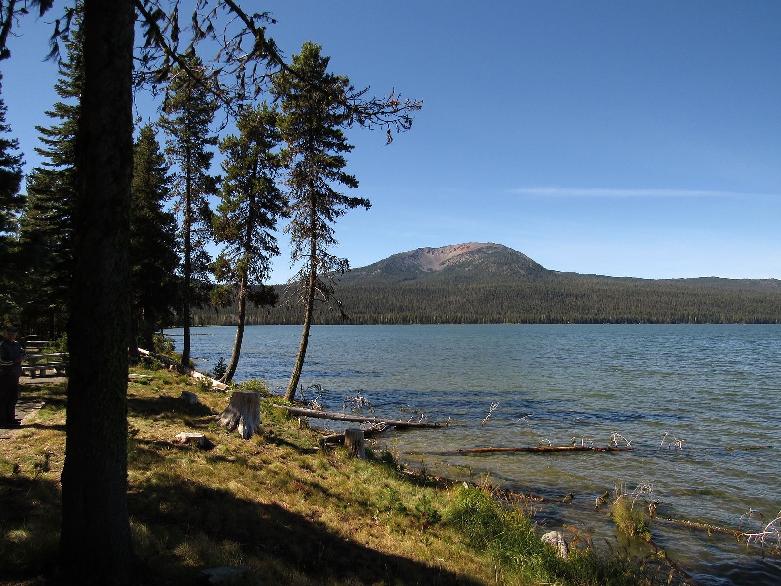
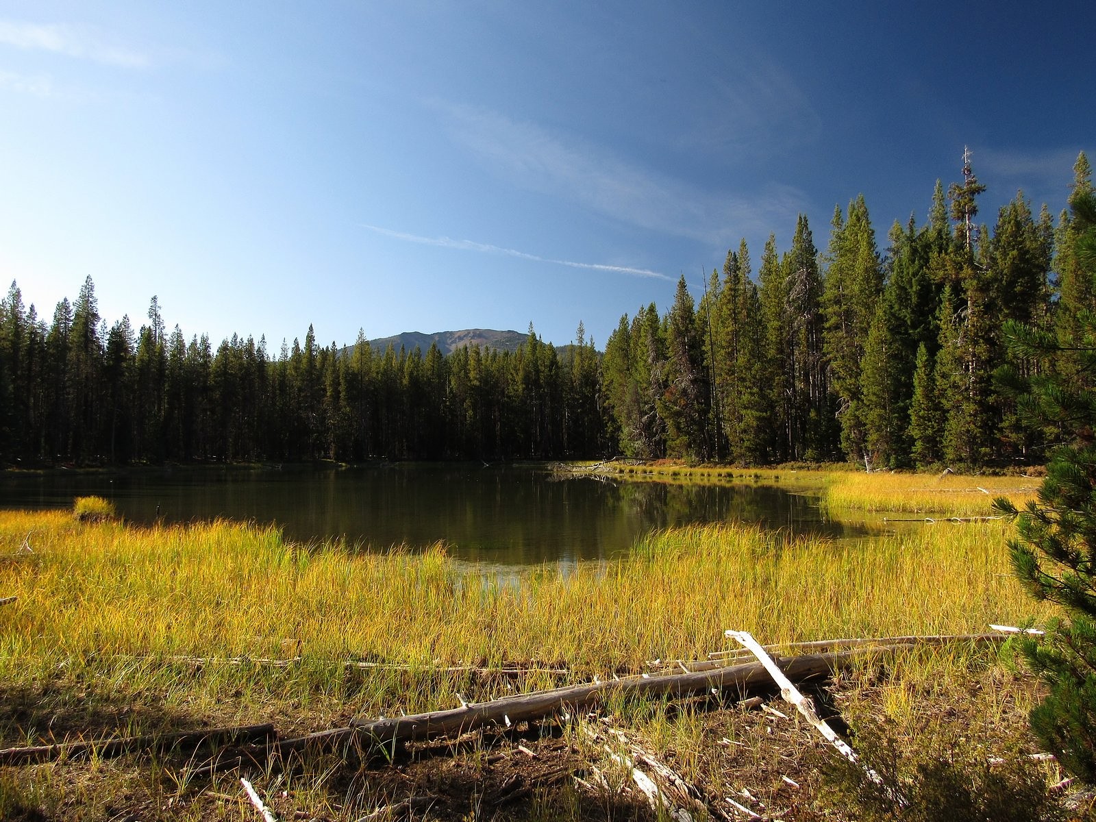
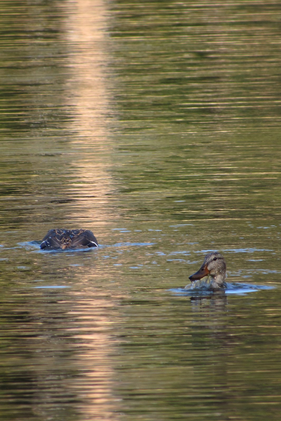
Last Wednesday, with the sky a brilliant blue and the weather forecasters predicting that the first Fall rains were imminent, we took advantage of an open day in our joint schedules and headed for the mountains. Our destination was Silent Creek, a tributary to Diamond Lake that enters the big lake at its southwest corner. This area, once a deep mountain valley, became a mostly level plain several miles wide when the massive eruption that created Crater Lake filled the valley full of pumice and volcanic ash. Silent Creek meanders across this plain through an open forest of lodgepole pine. The creek is glass-clear, fifteen feet wide, and rarely over eight inches deep. The sunny forest floor seems at least 90% covered with huckleberries.

We are both recovering from colds, and at 77 and 76 that means you don’t push for an early start: so it was after 10:00 AM when we pulled out of the driveway for the 80-mile trip to the trailhead. We picked up picnic supplies at the little store in Union Creek and spread them out on a sunny table in Diamond Lake’s South Shore Picnic Area a half-hour later for a leisurely lunch.

Melody at our lunch table on the south shore of Diamond Lake.
Mt Bailey across Diamond Lake from our lunch table.

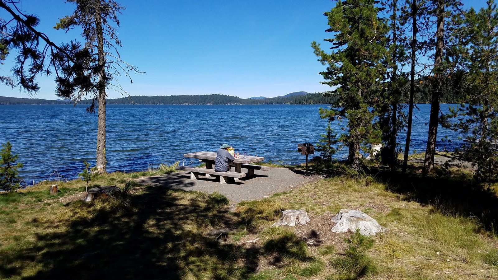
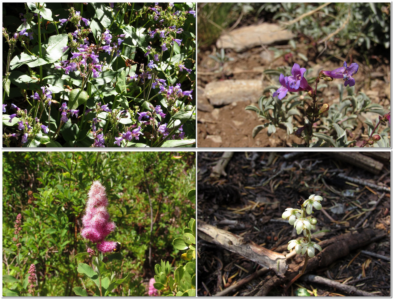
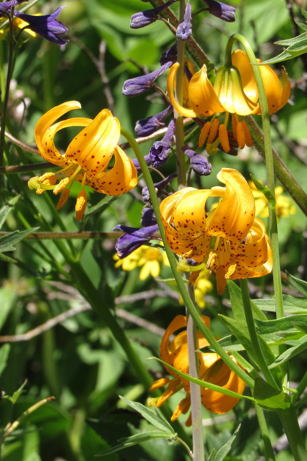
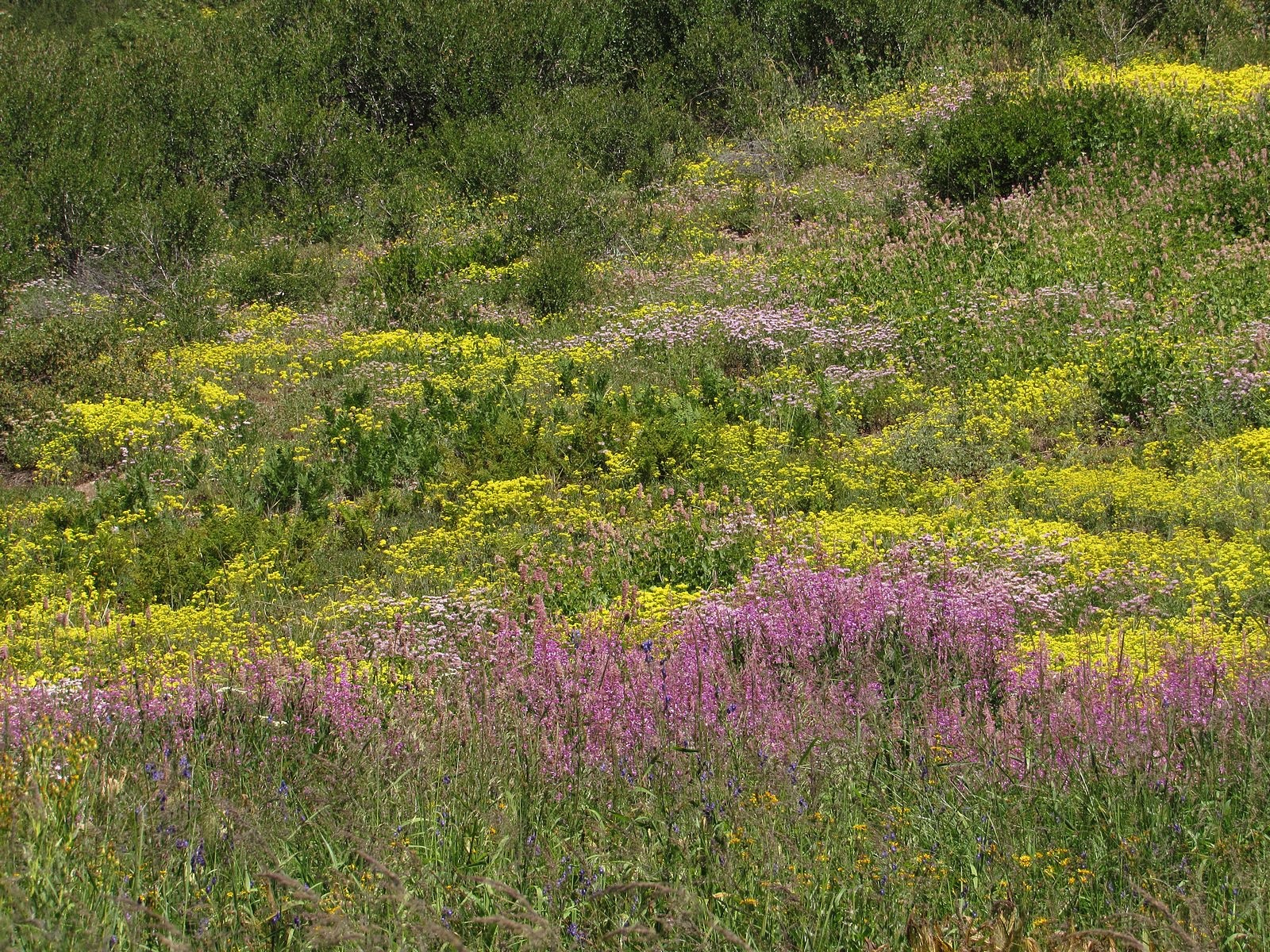
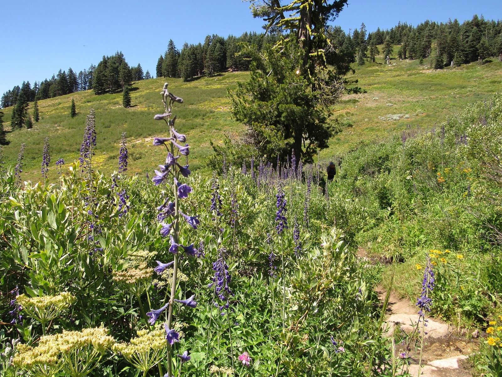
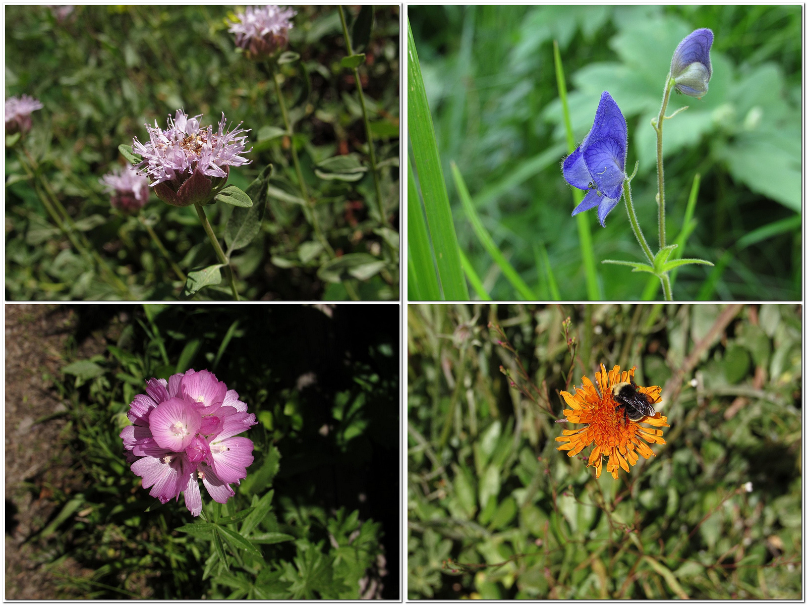
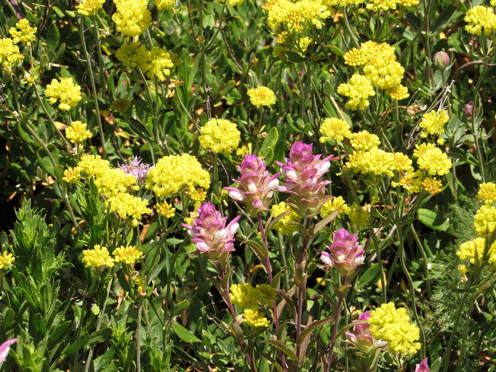
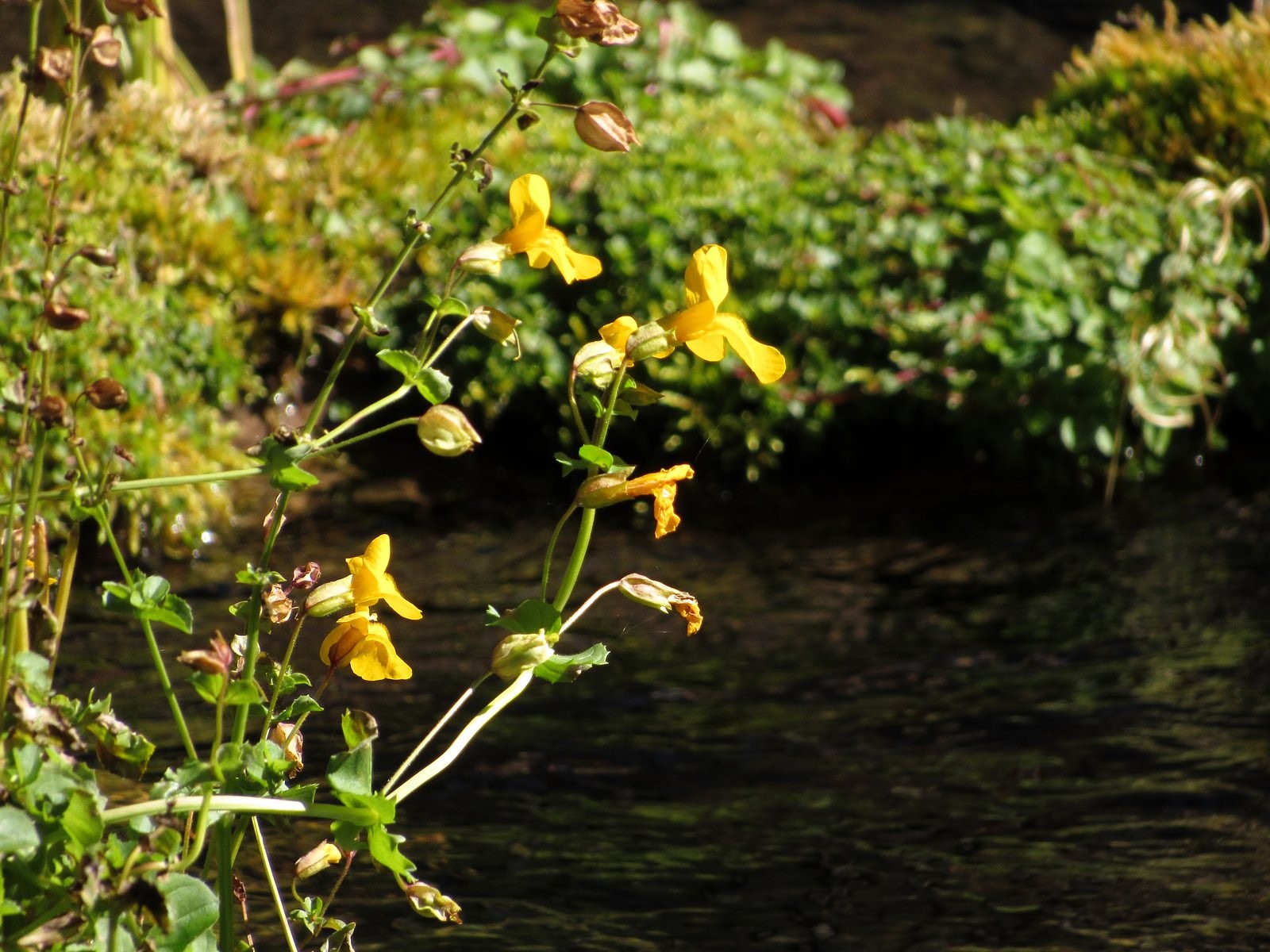
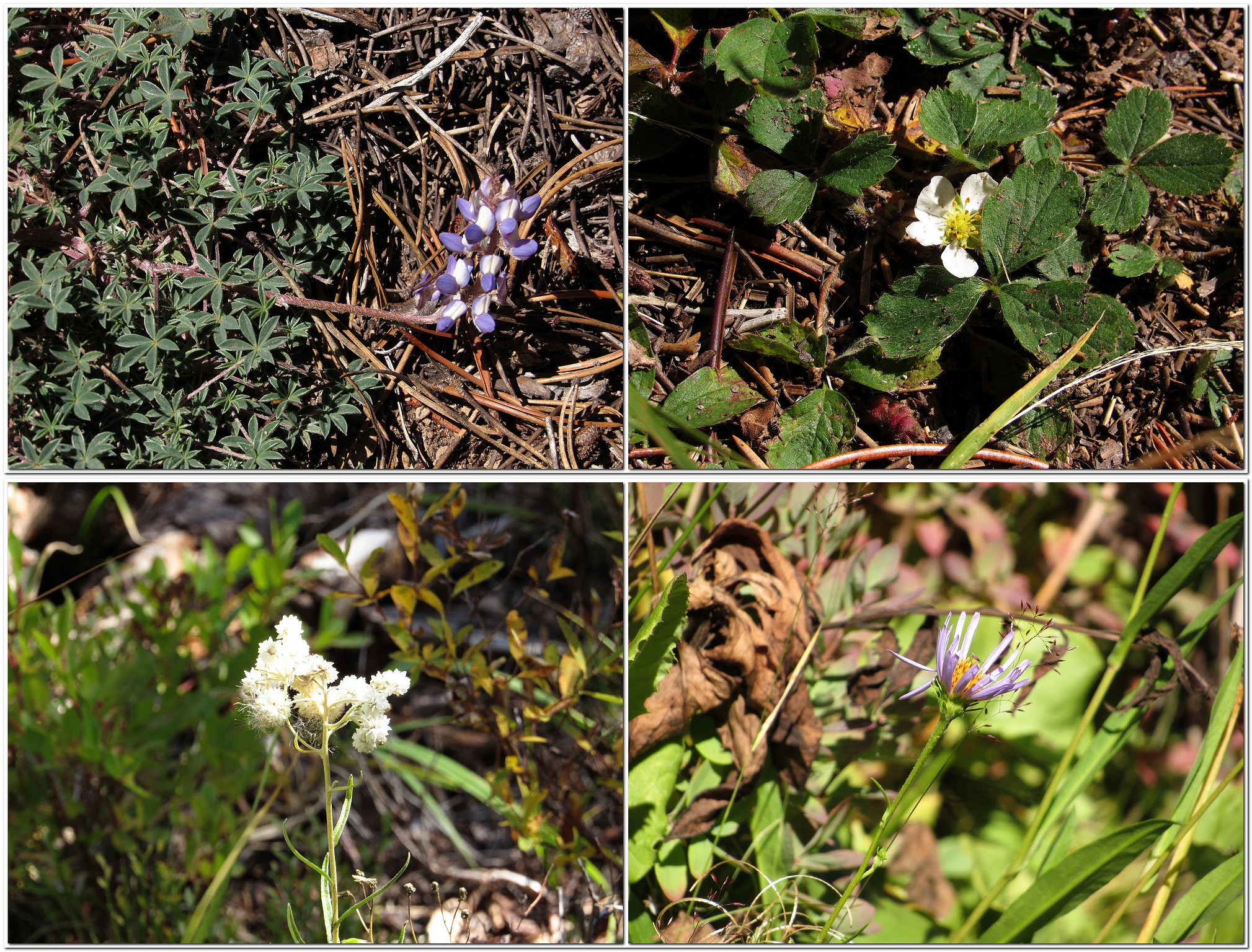
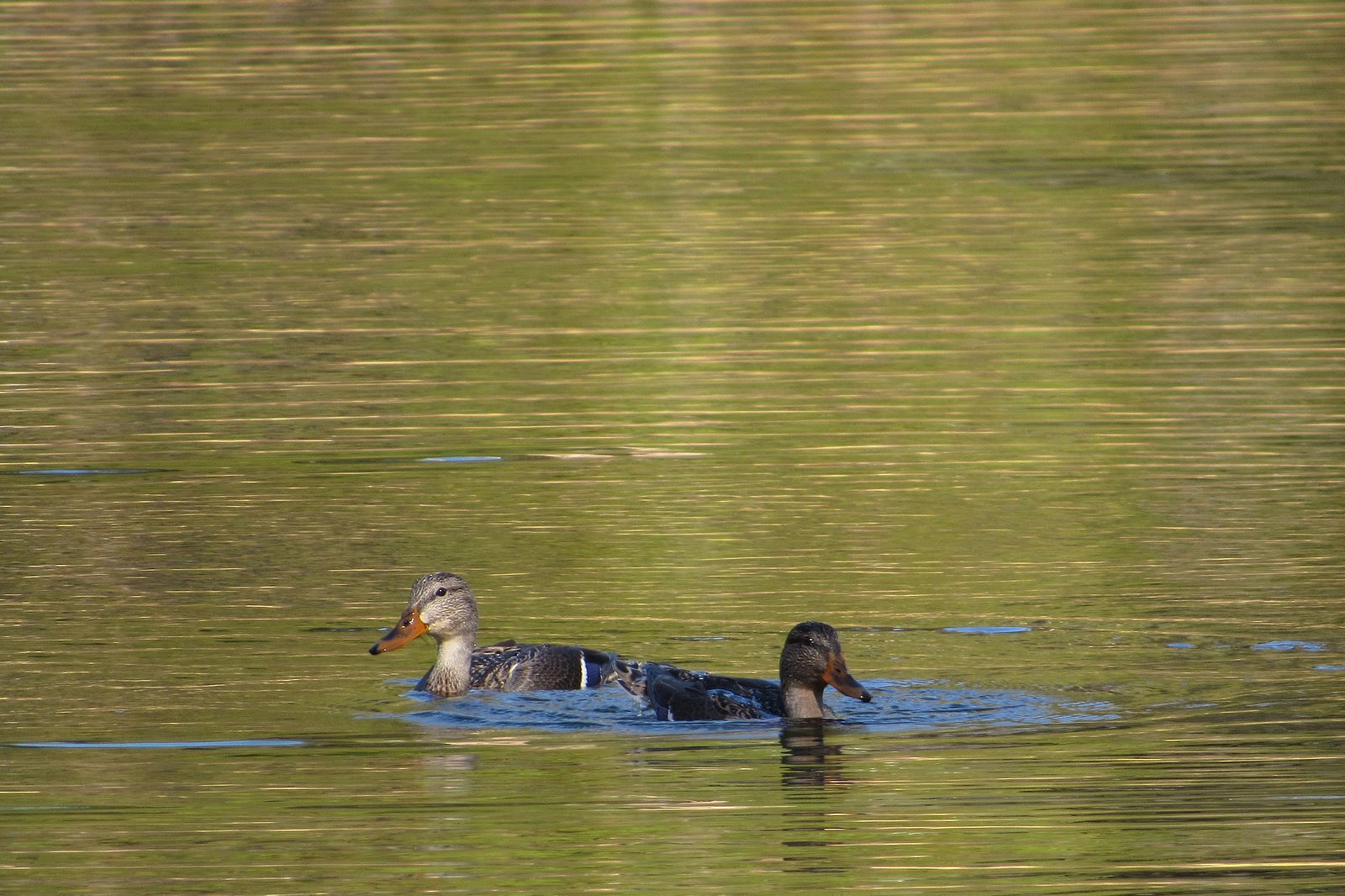
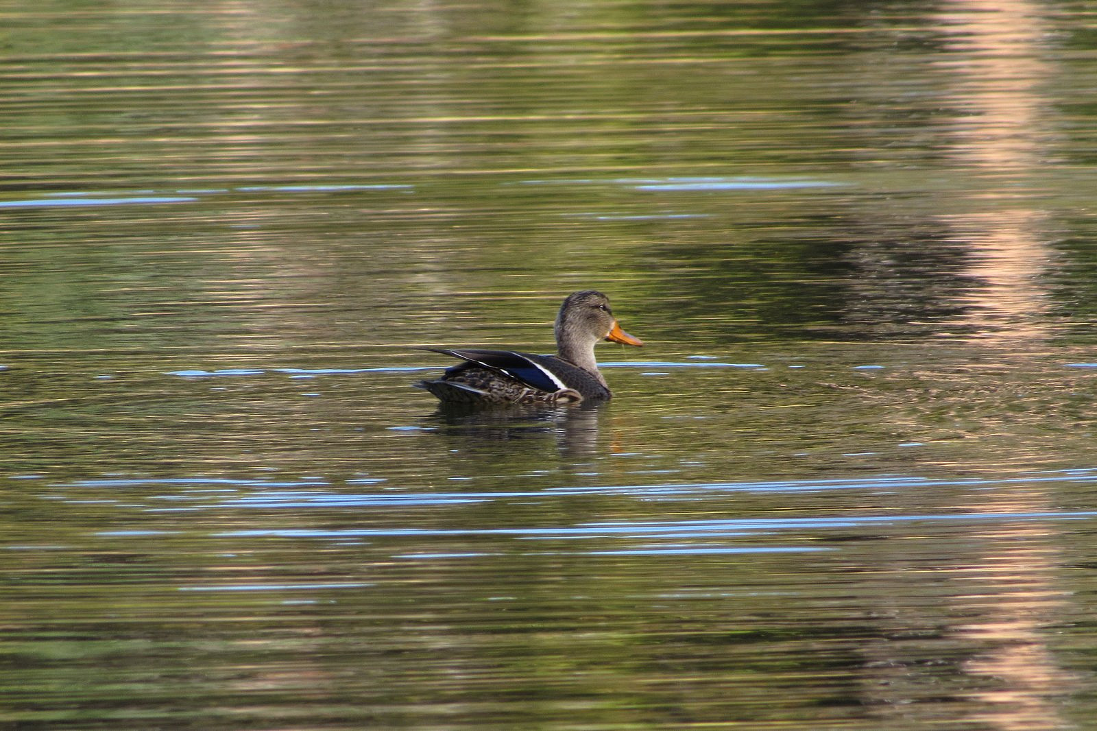
It’s a little under a mile and a half from the South Shore Picnic Area to the trailhead where paved Umpqua National Forest Road 4795 crosses Silent Creek; it’s another mile and a half by trail from there to one of the creek’s headwaters springs. We drove the first of those 1.5-mile stretches and walked – or perhaps “sauntered” is a better word – the second. The woods were quiet; the light was golden and lovely. Small frogs hopped across the trail. Silent Creek lived up to its name – barely a ripple broke its smooth, transparent surface, the whole length from trailhead to spring. Fallen logs crisscrossed the creek, half in and half out of the water, bearing bushy green growths of monkey flower, some still in bloom. There were a few asters, and a few lupines, and a single strawberry blossom – well out of season – that had planted itself defiantly right in the middle of the trail. There were no berries on the huckleberry bushes. We were disappointed but not surprised: we knew where they had probably gone. On our way home, we stopped there. Beckie’s Cafe at Union Creek is famous for its huckleberry pies (see the full description in my previous post on Hershberger Mountain). They are served only from Labor Day weekend until the berries run out, which can be as early as mid-September. This year they are holding up. Supper capped with huckleberry pie at Beckie’s is one of Oregon’s finest gustatory experiences. I leave you with that.

Seep-spring monkey flower on a log in Silent Creek.
Clockwise from top left: dwarf lupine, strawberry, Parry’s aster, pearly everlasting.
We stopped at Teal Lake, a tiny pond between Forest Service Road 4795 and the main lake, on the way out.
A pair of mallards in eclipse plumage playing in Teal Lake.

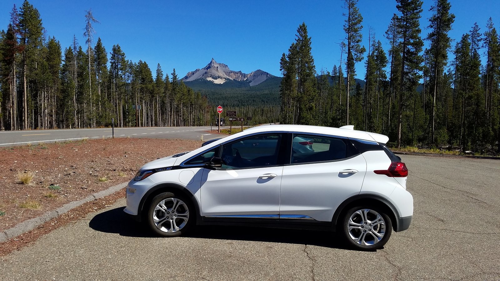
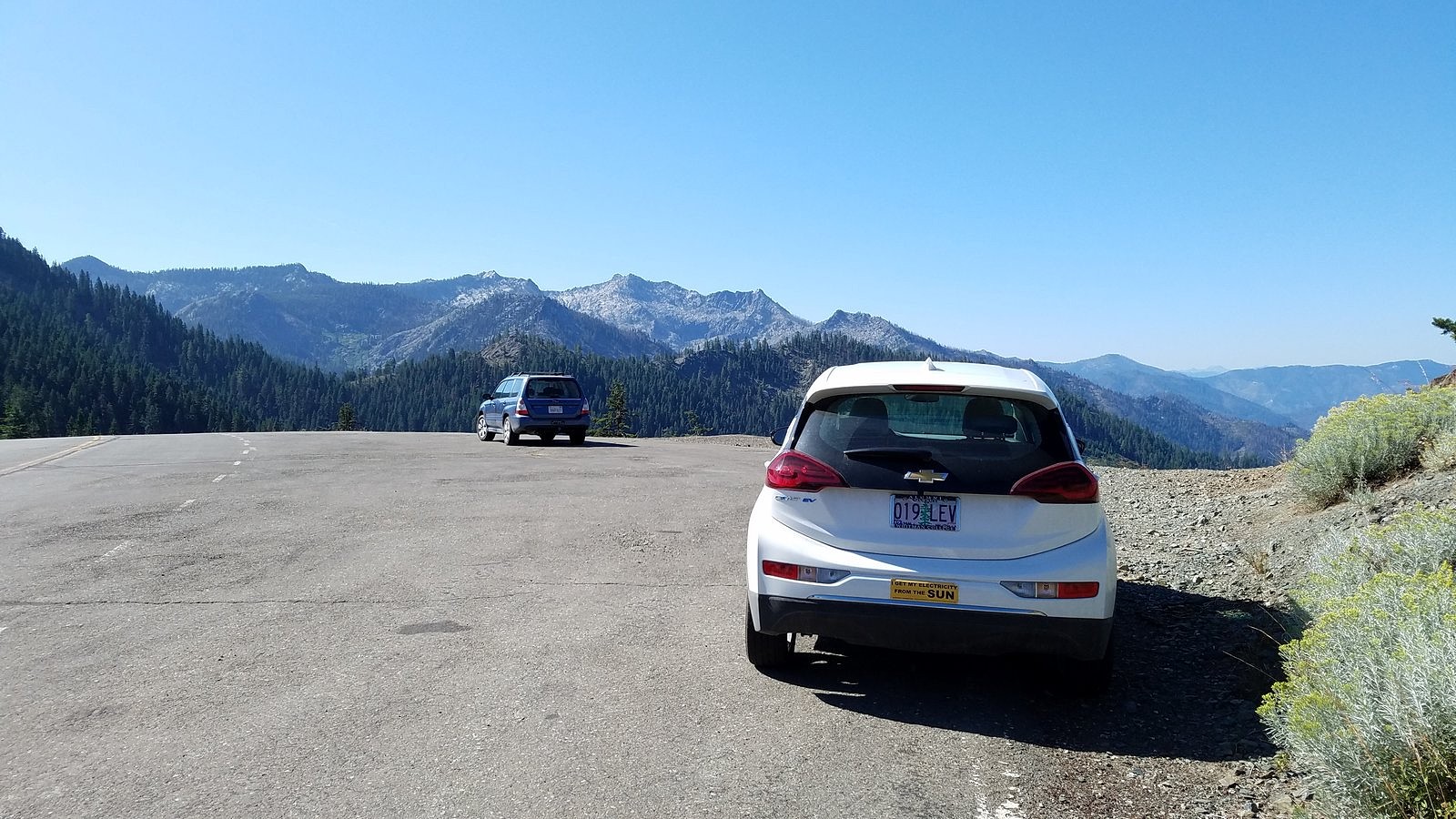
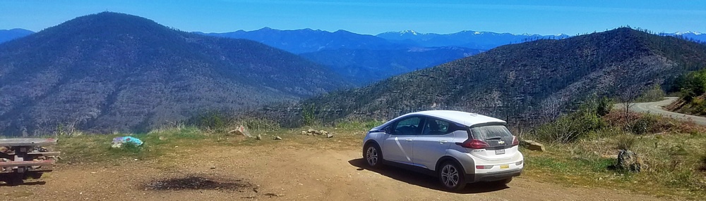
I do need to add my usual note on the performance of the Bolt. I didn’t bother opting for a full charge the night before, so we left home with a 95% charge in the battery, roughly 57 kwh. We got back from this 160+ mile trip with 20 of those 57 kwh still remaining, and with the GOM showing more than 100 miles of range still available. I cannot for the life of me figure out why people still fear that a car like the Bolt (or a Tesla, or a Hyundai Kona Electric, or any of the several other long-range electrics currently available) will somehow run out of electrons on a trip like this. Like a gasoline car with a ten-gallon tank that gets 25 miles to the gallon – the same range as the Bolt – you fill the tank a little more often than you might like; because it’s electric, it takes a little longer to fill. That’s all.

The Bolt at the Thielsen View rest area on Highway 230. Mt Thielsen in the background.

The Trail Less Traveled

Upper Ruffey Lake, near Etna, California

Coyote mint with butterflies, on the Ruffey Lakes trail.

Two roads diverged in a wood, and I—
I took the one less traveled by,
And that has made all the difference.

Robert Frost’s advice about roads often applies to trails, too. It certainly applies to the trail to Upper Ruffey Lake, a side path off the Pacific Crest Trail just north of the Russian Peaks Wilderness in California’s Klamath Mountains.

I’ve known about the Ruffey Lakes for a while. I’ve even seen the sign on the PCT pointing to them – Melody and I walked right past it several years ago on our way to goggle over the spectacular granite scenery surrounding Smith Lake, two miles further down the trail. They’ve just never seemed much of a draw. The guidebooks haven’t been encouraging. Jeffrey Shaffer, in his guide to the PCT in Northern California, dismisses Upper Ruffey Lake as a “small cow-inhabited basin”; William L. Sullivan, in “100 Hikes in Southern Oregon” – a lot of which are actually in northern California – mentions it only in passing, as a “woodsy” lake which makes “an acceptable day-hike goal” if you run out of steam before reaching Paynes Lake, the destination he is actually describing. Few other guides, either in print or on line, even bother to mention the Ruffeys. People rarely seem to plan to go there.

Nor did we, at least in the beginning. The original idea was to try to catch a glimpse of Wicks Lake, a tiny, remote pond in a steep little cirque cut into a granite cliff high on a nameless peak above the tiny, remote town of Etna, California. No trail reaches Wicks Lake; no trail even goes within sight of it. The PCT runs along the other side of the mountain. Cliffs above and below the lake make getting to it a formidable task. I doubt that it gets three visitors in a decade. I didn’t expect to be among them, but I did want to see it. The best chance seemed to be to take the PCT south from the Etna Summit trailhead, veer off on the Ruffey Lakes trail for 300 yards or so to the saddle where the trail crosses the ridge above the upper lake, and follow that rugged ridge a mile or so north to the third of its three summits, where we could peer over the edge of the cliff and – hopefully – see Wicks Lake. Upper Ruffey Lake would be, to borrow Sullivan’s words, an “acceptable day-hike goal” if the Wicks Lake plan petered out.

That was the plan. By the time we left the house last Wednesday, though, it had morphed into something a little different. I’d been a bit under the weather all week – not enough to keep me from hiking, but enough so that choosing to bushwack a mile along a steep up-and-down ridge seemed, at best, questionable judgement. So the goal now became Upper Ruffey Lake. That way, we would at least get someplace. If I had enough energy left, we would tackle the traverse to the view of Wicks Lake on our way out.

The Bolt at Etna Summit. Taylor Lake massif in the background.

It’s a bit over 90 miles from our home in Medford to Etna Summit – about half on the freeway (over two passes), another third on a two-lane rural road (over another pass), and the rest up a winding, narrow mountain road (to the top of a 4th pass, this one 6000 feet high). I didn’t expect that to strain the Bolt’s range, but it would be interesting to see how well it did. The drive went smoothly, after a leisurely breakfast at Ashland’s Breadboard; I checked the dashboard display just before turning off the motor at the trailhead and found we had used 28 kwh of electricity to get there. That left us 32 kwh to get home. More than enough – especially since home was 4500 feet closer to sea level than our current location. We locked the car and set off up the trail.

The first quarter mile of the PCT south of Etna Summit is out in the open, with spectacular views across the upper Salmon River canyon to the rugged granite massif that holds Taylor, Hogan, and Big Blue Lakes. After that, though, you enter the forest, and the views disappear. The way is relentlessly uphill. Every few minutes, we met PCT through-hikers coming down. We spoke briefly to a young man from Germany who was looking for a ride into Etna (a regular reprovisioning stop for hikers doing the whole trail). I told him that if he was still waiting at the trailhead when we came out four or five hours later, he would have his ride.

At around 11:30, we turned onto the Ruffey Lakes trail. A couple of hundred yards and less than 100 feet of elevation gain later, we broke out of the woods at the saddle above the upper lake. I’m not sure what I expected to see, but what did meet our eyes was certainly far more than just “acceptable”:

Etna Mountain and Upper Ruffey Lake from the top of the connecting trail to the lake, with Mt Shasta peeking around Etna’s right-hand ridge.

We descended, through flowers and open woods, to the lakeshore. The white double pyramid of Etna Mountain loomed over us. We circled the lake slowly, clockwise, beginning along the polished granite rim. That rim is perhaps 20 feet wide, and is bounded on the side away from the lake by a precipitous 600-foot drop to Lower Ruffey Lake, tucked so tightly against the bottom of the cliff that it was difficult to get a view of it. Back into the woods at the far end of the rim, with views across the lake to the sharp sawtooth knobs of the ridge we had crossed from the PCT. A deer stepped daintily out of the woods onto the rim, checked us out across the water, decided we were safe, and began to graze on something invisible growing from the granite.

Deer on the rim (telephoto from the far side of the lake).

On around to a spring near the spot where we had first reached the shore. The spring’s small stream seeped into the lake through bright yellow monkey flowers and blue monkshoods. A reluctant departure from the shore, then; a slow climb out of the basin to the ridge again, through masses of coyote mint fluttering with butterflies. Since leaving the PCT more than two hours before, we had not seen a single other human being.

Etna Mountain and Upper Ruffey Lake.
Lower Ruffey Lake from the rim of Upper Ruffey Lake.
Clockwise from upper left: woodland penstemon, azure penstemon, little Prince’s pine, Douglas spirea.
Upper Ruffey Lake from the ridge north of the connecting trail’s saddle.

On the ridge we diverted, as planned, toward the unnamed summit that would give us a view of Wicks Lake; but it was a halfhearted diversion, and we gave it up after just a short distance and returned to the trail. Back on the PCT, we began once more to encounter through-hikers every few minutes. Hiker Grand Central. Most were traveling north, so they would come up behind us, pass us – sometimes with a greeting, mostly not – and stride rapidly on down the trail. It seemed a grim way to hike. Not for the first time, I wondered what they were seeing at that pace.

We reached the car around 4:30. The German hiker wasn’t waiting for a ride, but another hiker was. He turned out to be from Cleveland. He had never ridden in an electric car, and asked intelligent questions on the way down the hill. We dropped him at Etna’s small supermarket and headed for home. Rolled into the garage with 30% of the battery left, 77 miles showing on the GOM, and a new determination not to ignore “the trail less traveled by”.

Melody on the south shore of Upper Ruffey Lake.

Peak Bloom

Every sport has its own Grail moment – its own ideal, defining event, which players strive toward and spectators applaud. For golfers, it’s a hole-in-one; for baseball players, a triple play; for basketball players, a three-point shot that hits nothing but net. For surfers, it’s the perfect wave.

For wildflower addicts, it’s peak bloom.

Wiggins’s tiger lily and tower delphinium at a spring in Grouse Gap.

“Peak bloom” is technically defined simply as the time when the most flowers are blooming, but that stark sentence doesn’t begin to capture the term’s nuances. It is different for every place; for a given place, it is different for every habitat; for a given habitat, it is different for every year. A wet year will delay it; a dry year will bring it on early. A rainstorm at the wrong time may defeat it completely. The conditions that trigger blooming can vary dramatically from species to species, so the actual mix of flowers present at peak bloom for a given locality is almost always different each year. Depending on that mix of species, the display may be soft and muted, or it may be a riotous extravaganza of color and form. Or anything in between.

All this is by way of explaining why, only two weeks after our most recent previous trip to Mt Ashland, we were back again last Thursday. The push came from our longtime friend and fellow wildflower fanatic Diane Meyer, via a post on Facebook. Diane had just come back from the mountain with a camera full of pictures. “If you plan to visit Mt Ashland,” she wrote, “go NOW.”

We went. It didn’t hurt that we could do it as a half-day trip, which allowed us to get to the weekly Medford farmers’ market in the morning.

There is not much to say about the actual hike. We left Medford under a heavy overcast that was expected to get heavier, so it was a surprise to find the mountain basking beneath blue skies decorated by little puffy clouds. We parked the Bolt at the Mt Ashland Campground, dropped down the hill to the Pacific Crest Trail, and followed it around to the trailhead just off Road 20 in Grouse Gap; from there we climbed cross-country to the long, rocky ridge that juts west from Mt Ashland at the Rabbit Ears – picked up the mountain-bike trail along that ridge – took the trail back to the Mt Ashland summit road – and walked the road back to the car. Total distance was a bit over three miles, not much by our standards. The flowers on the ridge were disappointingly far past peak (remember what I said about different habitats?). The flowers in the Grouse Gap meadow system were….well, prepare yourself, and then check out the pictures.

Along the Pacific Crest Trail in Grouse Gap.
Along Road 20 near its junction with the Mt Ashland summit road.
Tower delphinium along the Pacific Crest Trail in the Grouse Gap meadows.
Mt Shasta across a field of Alice’s fleabane in Grouse Gap.
Clockwise from upper left: coyote mint, monkshood, orange agoseris, Oregon checker mallow.
Sulphur flower and Siskiyou owls’ clover.
The Grouse Gap meadow system, from the Mt Ashland summit road. Sulphur flower overrunning just about everything in sight.