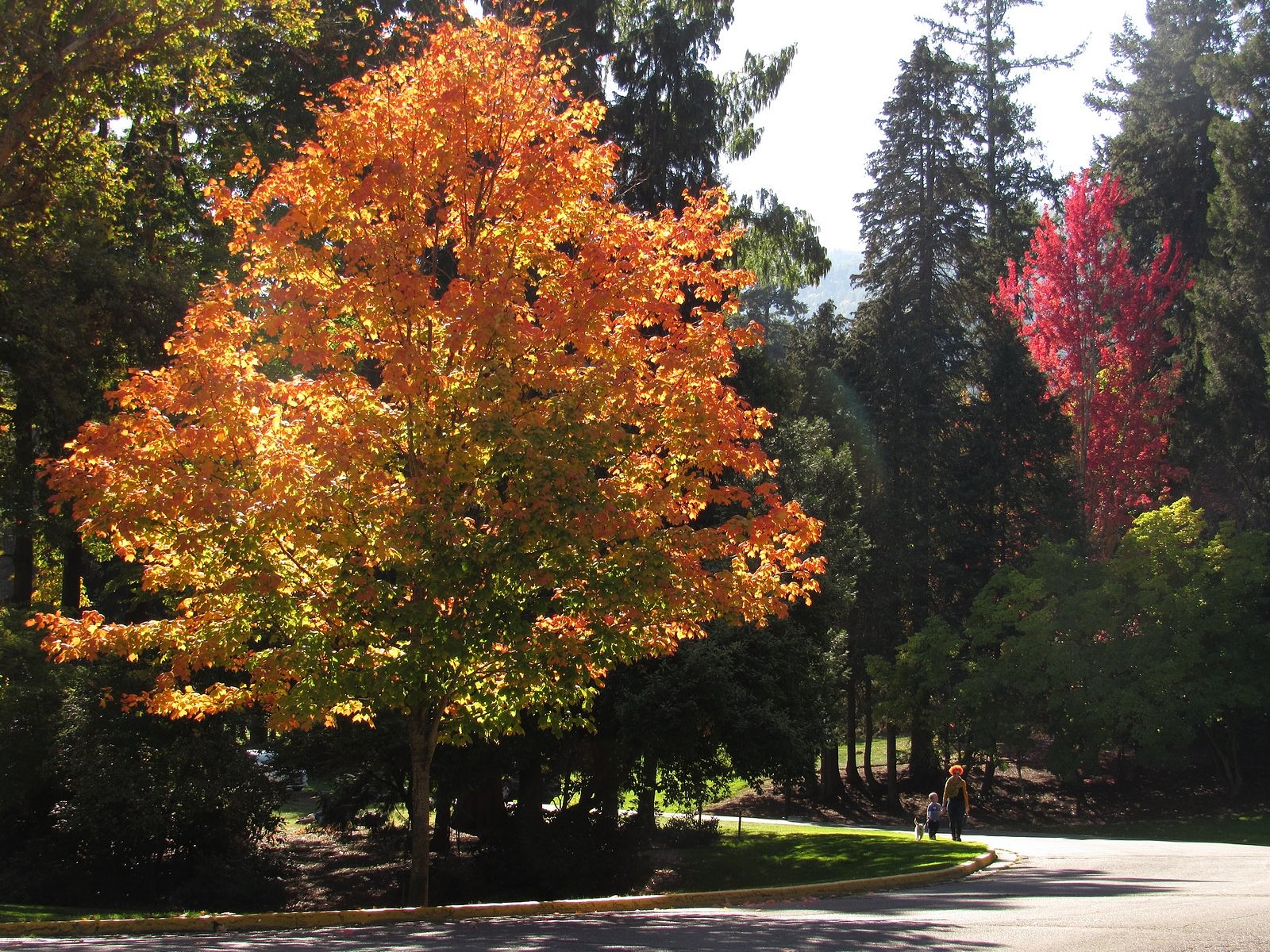
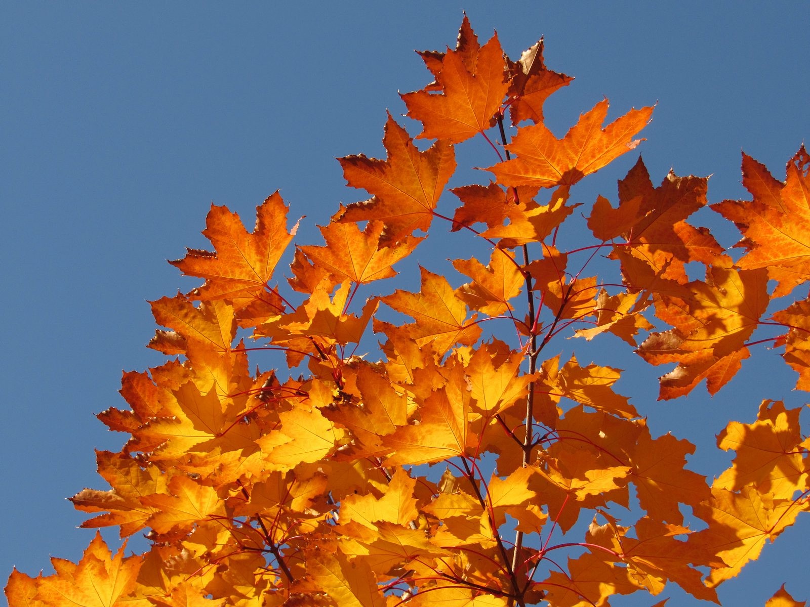
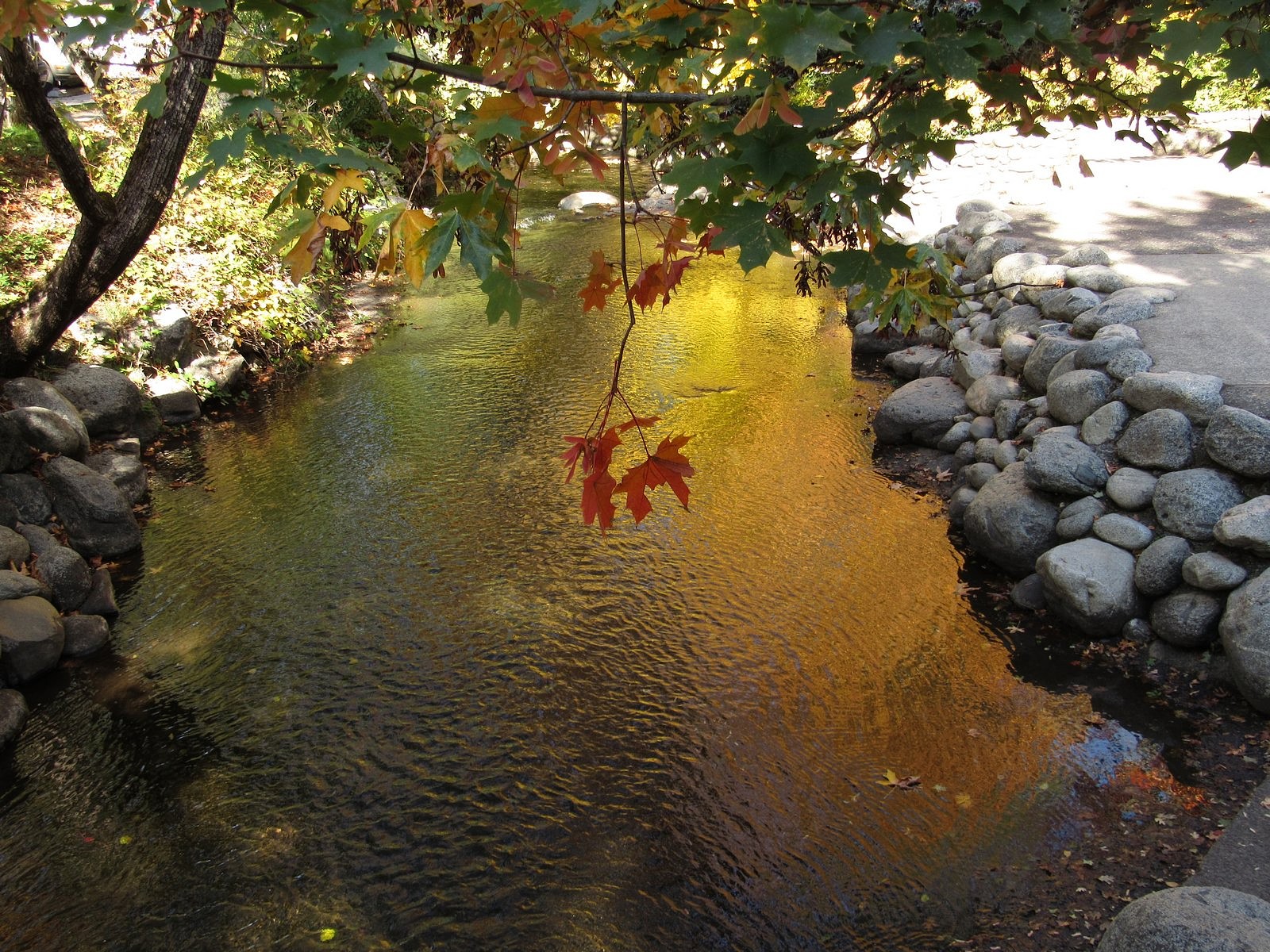
Along Winburn Way near the bandshell. At the top of this post: bigleaf maple leaf on the bottom of Ashland Creek.
I’ve neglected this blog for several weeks while I completed a novel. Melody and I have not neglected our outings, however. This is the first of three blog posts designed to catch you up, to be published over the next three days.
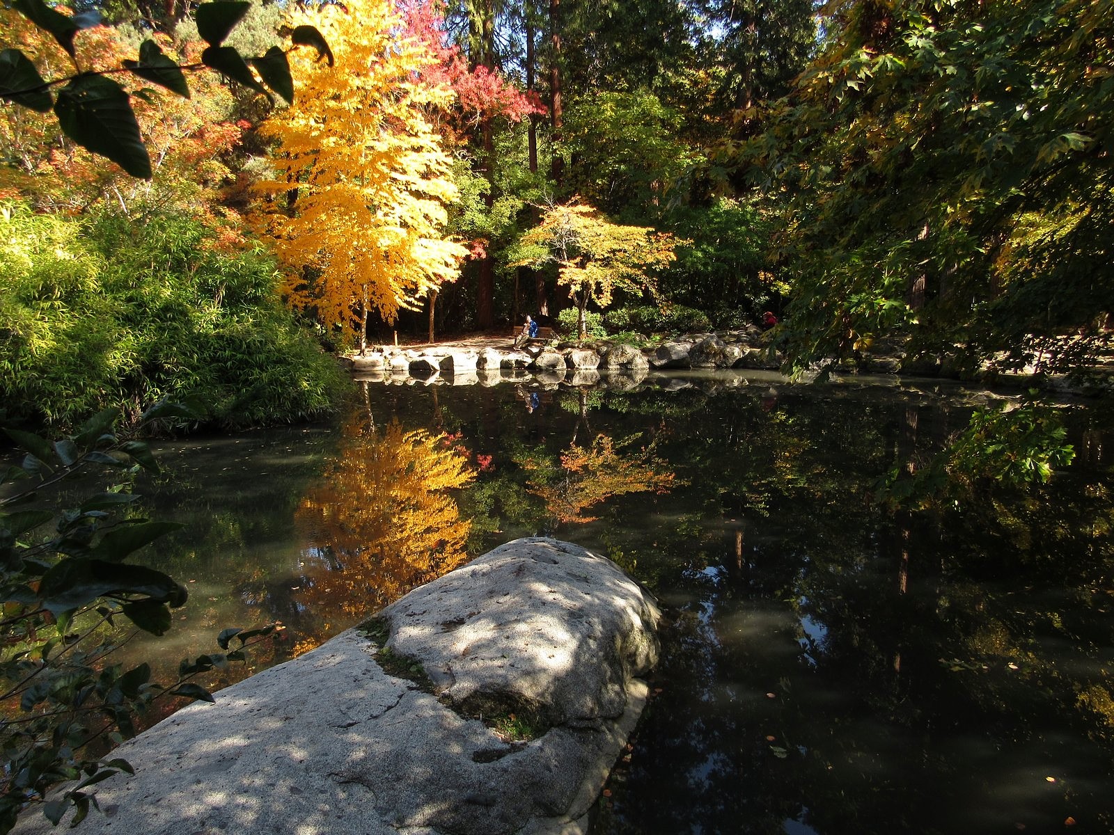
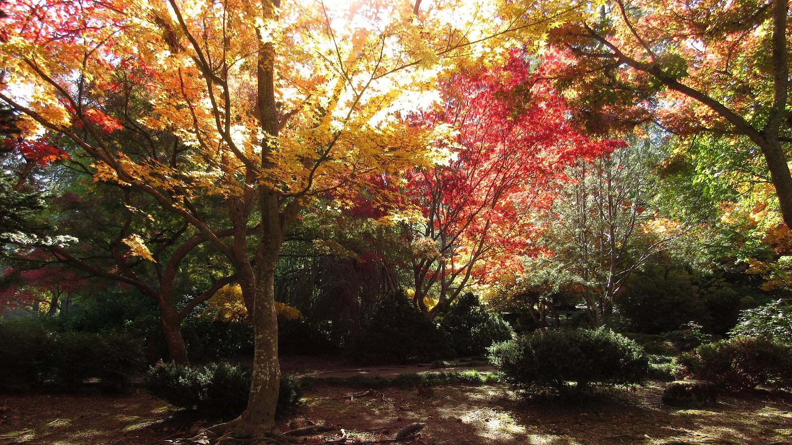
The subject this time is Ashland (Oregon)’s Lithia Park, which we visited on October 14, seeking fall color. Oregon’s forest trees are largely conifers, which don’t change color, so the seasonal color changes here are mostly found in street trees and city parks. Lithia Park is among the best of these, here or anywhere else: it was named one of America’s ten best public spaces by the American Planning Association in 2014. Its 93 acres, with landscaping designed by John McLaren – who also designed Golden Gate Park in San Francisco – offer delights any time of year, but particularly when the leaves are changing. The park is only 15 miles from our home, which barely makes a dent in the Bolt’s capacities, so you’ll find no electric-car stories here: just pictures. Enjoy this small bit of autumn in southern Oregon.
Wading pool in Ashland Creek, by the playground.Upper duck pond.
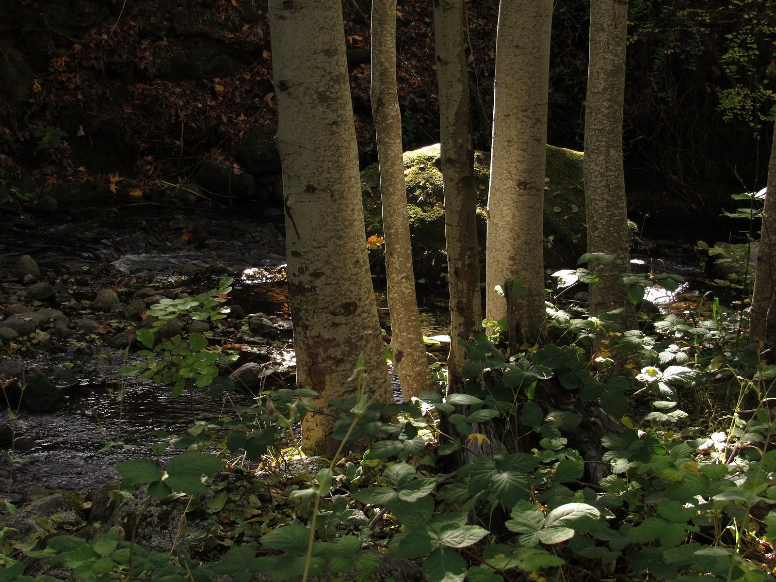
Alders along Ashland Creek.
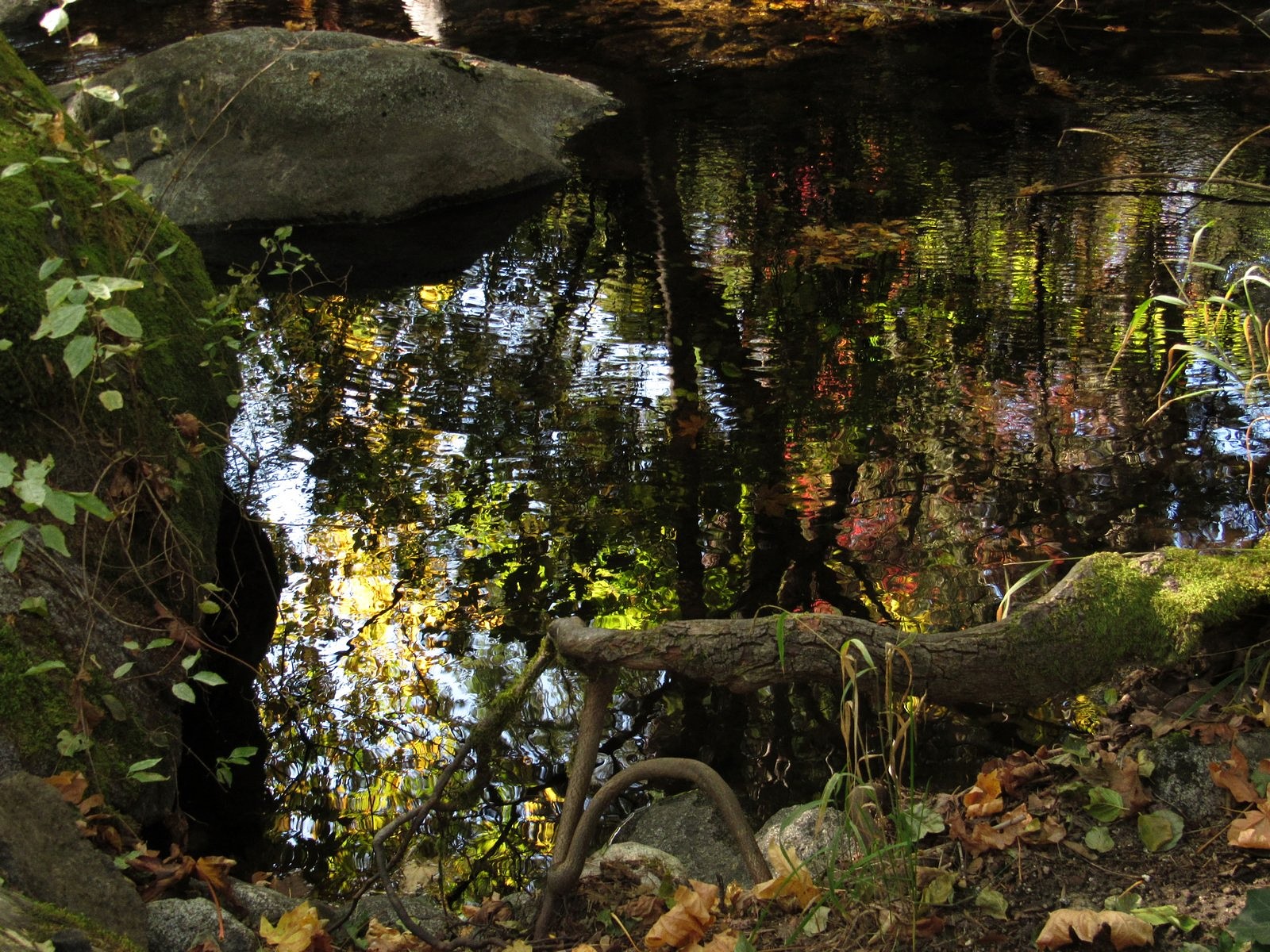
Reflections in the upper duck pond.
In the Japanese Garden.
Tomorrow we’ll look at some of our area’s natural fall color, along the upper Rogue River in the Cascade Mountains.
Looking east from Lower Table Rock toward Mt McLoughlin. The Rogue River’s course can be traced through the picture by the twin rows of trees.
There is a certain mystique about mesas. Part of that comes from their association with the Old West of the movies, and from the even older west encountered in places like Mesa Verde and the First, Second, and Third Mesas of the Hopi people. Another part comes from the appearance of impregnability that mesas present because of the cliffs that partly or completely surround them. Most of it, though, comes from their isolation – from a sense that their broad, flat surfaces are a place apart from the mundane world below, a place which might hold marvelous things: lost mines, or lost species, or even lost civilizations. There is actually some truth to this last point. Lost mines and lost civilizations are almost always the stuff of myth, but lost species often do find refuge on the tops of mesas. Mesas are islands in the sky, and like islands in the sea, they can develop unique communities of living things. Sometimes these include species that are rare or absent elsewhere.
Mesas are commonly associated with arid landscapes, but they can be found anywhere. There are two standing side-by-side here in southern Oregon. They tower some 800 feet above the Rogue River, which winds closely past them on the south, and they go by the unimaginative but apt names of Upper Table Rock and Lower Table Rock – “upper” and “lower” here referring to their locations along the river, not their elevations, which are nearly identical. The Table Rocks owe their existence to a long-extinct volcano; to the Rogue River itself; and to seven million years of time. The ancient volcano, usually identified as Olson Mountain (south of what is now Lost Creek Lake), spewed forth lava in liquid-enough form to flow more than 40 miles down the channel of the ancestral Rogue and spread out over the sandstone flat that now underlies the Rogue Valley; the river and time then conspired to carry most of that lava away again, along with several hundred feet of the sandstone. The largest remaining remnants of that flow are the Table Rocks. Each sits on a pedestal of sandstone, and each has a summit that is several hundred acres in extent, thinly covered with soil, and flat as the tables they are named for.
The Table Rocks are popular hiking destinations, receiving, between them, some 45,000 visits each year. Both rocks are botanical preserves, managed jointly by the BLM and The Nature Conservancy: More than 200 flower species have been identified on those two sky-islands and their surrounding cliffs and hillsides, including one, small meadow foam, that is endemic to the rocks – meaning that it grows nowhere else. So most of those visits, including most of ours, come during wildflower season. But the rocks hold charms in other seasons, too. This Wednesday (October 9), we decided to see what they might provide in the middle of Autumn.
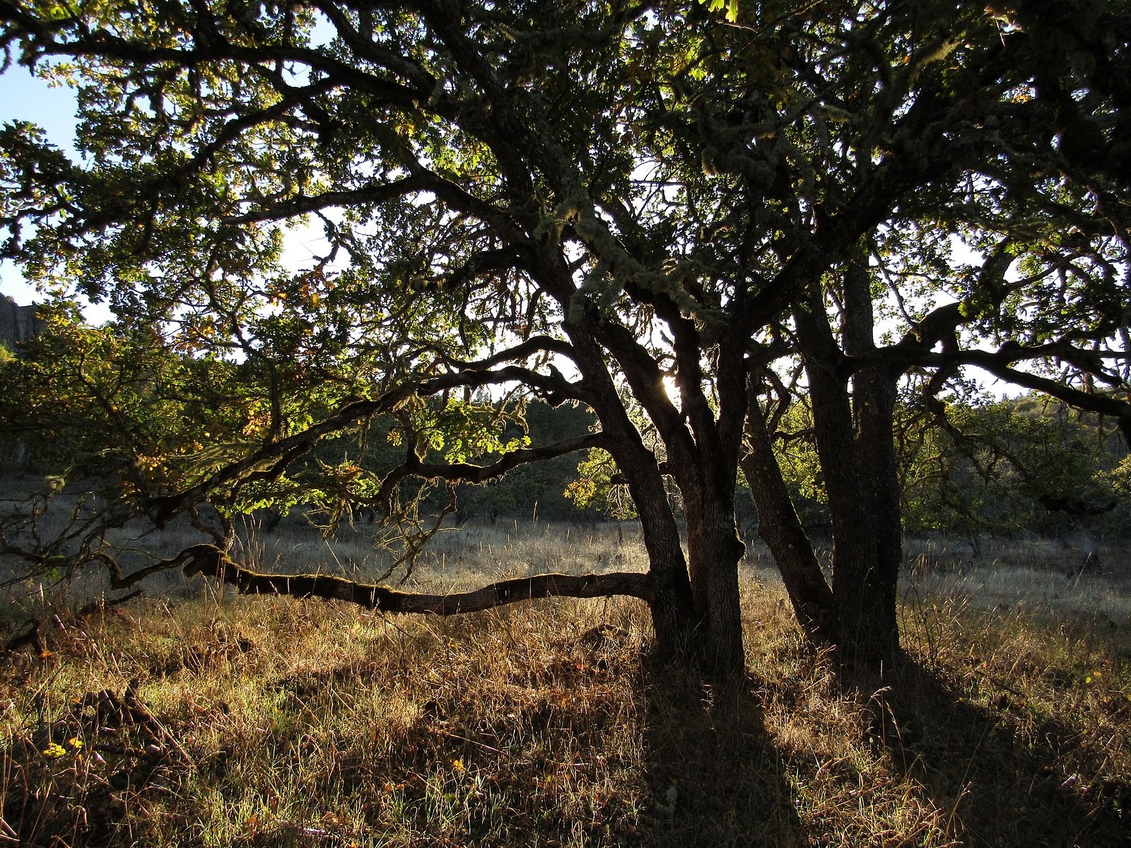
Turning oak leaves add a bit of color near the bottom of the trail.
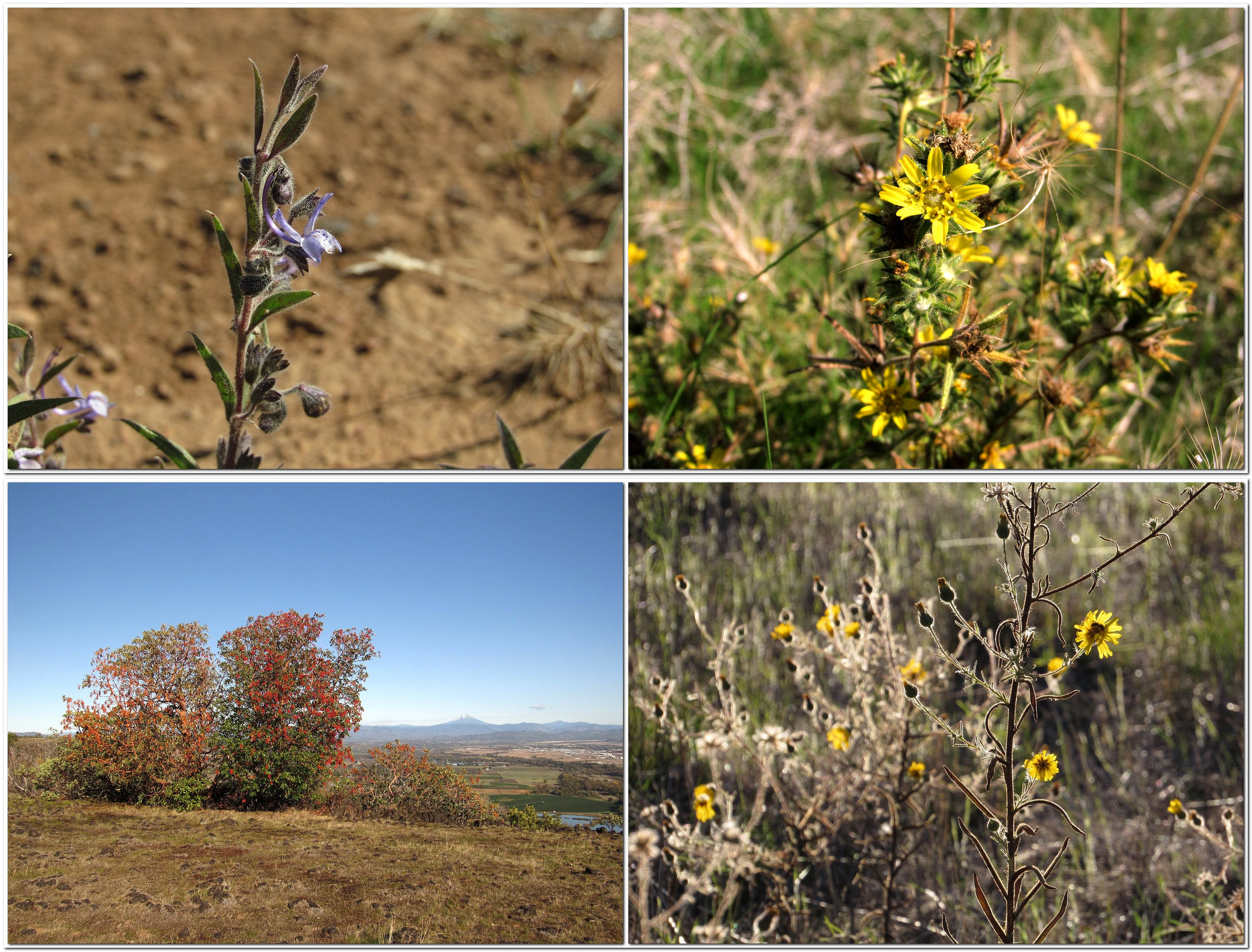
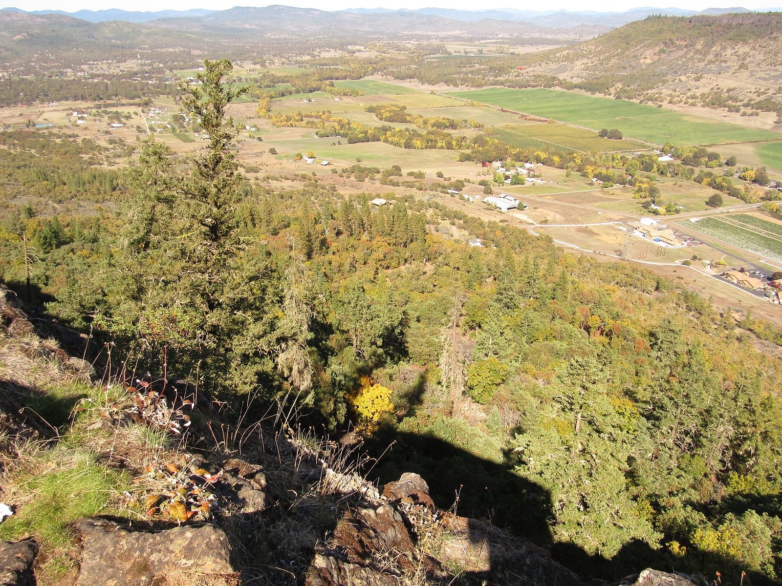
Since the trailheads are only half an hour from our home, we are able to do either rock as a half-day hike, and that’s what we chose to do this time. We arrived at the Lower Table Rock parking lot around 1:30 PM. The weather was sunny but slightly hazy, with temperatures in the 60s. Climbing slowly through oak savannah, chapparal, and then mixed forest, we reached the rim, 1.5 miles from the trailhead, by 2:30. We spent the next hour wandering south along the east rim, in the company of scarlet leaves, bright-red madrone berries, and the distant cone of Mt McLoughlin, tinted white by a recent light snowfall. There were a few late-blooming flowers.
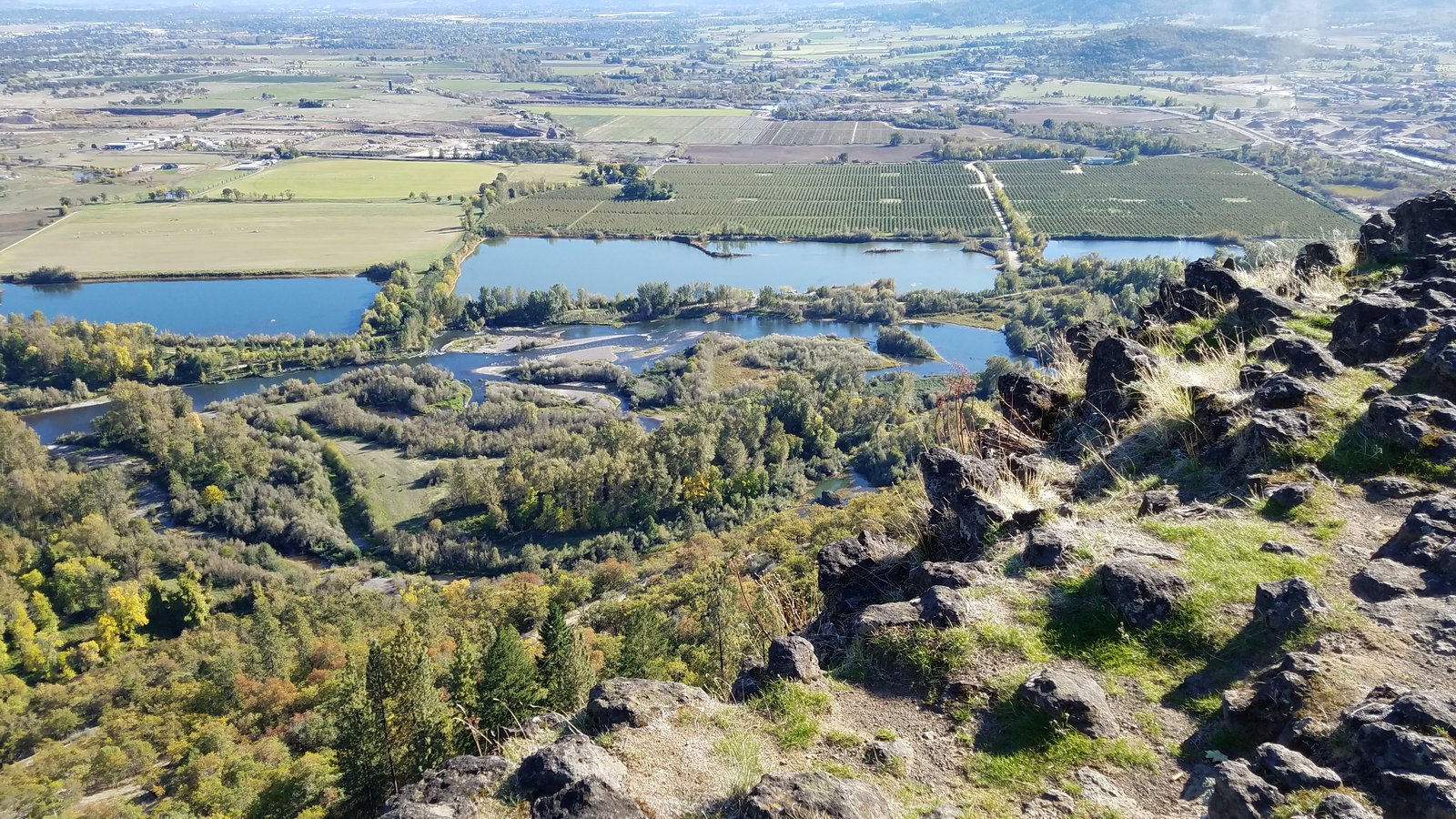
Clockwise from upper left: vinegar weed, Fitch’s tarweed, elegant madia, madrone berries (Mt McLoughlin in the distance).Sam’s Valley from Lower Table Rock.Looking south from the tip of the mesa. The braided stream channels in the foreground, an area known as Kelly Slough, were formed behind Gold Ray Dam, now removed. Medford in the distance.
After a fifteen-minute-or-so pause on the southern tip of the mesa, we headed back via the main trail, down the center of the summit plain on the mile-long grass airstrip built in 1948 by developer John Day as part of a scheme – never realized – to sell mesa-top homesites to wealthy Californians. The airstrip has been decommissioned for many years, but it still appears on some maps, and small planes still occasionally attempt to land there.
The light was gorgeous in the woods as we descended in the late afternoon. We reached the trailhead shortly after 5:00. I took the obligatory photo of the Bolt in the parking lot – this is an electric-car blog, after all – and we headed for home. We’ll be back to this trail again in the spring.
Lower Table Rock – and the Bolt – from the trailhead.
Fall has begun in the high country. Here in southern Oregon, our falls do not arrive in a blaze of color like New England’s or Upper Michigan’s; they ease in as quietly as the footfalls of kittens. A crispness and freshness to the air; a flush of red and yellow from the huckleberries in the understory. Later there will be new snow on the peaks and flashes of brilliant reds and yellows from the vine maples and bigleaf maples hanging over the rivers. Now, at the tag end of September, there is only a hint of these glories yet to come. But the huckleberries have already turned.
Huckleberry bushes along Silent Creek.
Last Wednesday, with the sky a brilliant blue and the weather forecasters predicting that the first Fall rains were imminent, we took advantage of an open day in our joint schedules and headed for the mountains. Our destination was Silent Creek, a tributary to Diamond Lake that enters the big lake at its southwest corner. This area, once a deep mountain valley, became a mostly level plain several miles wide when the massive eruption that created Crater Lake filled the valley full of pumice and volcanic ash. Silent Creek meanders across this plain through an open forest of lodgepole pine. The creek is glass-clear, fifteen feet wide, and rarely over eight inches deep. The sunny forest floor seems at least 90% covered with huckleberries.
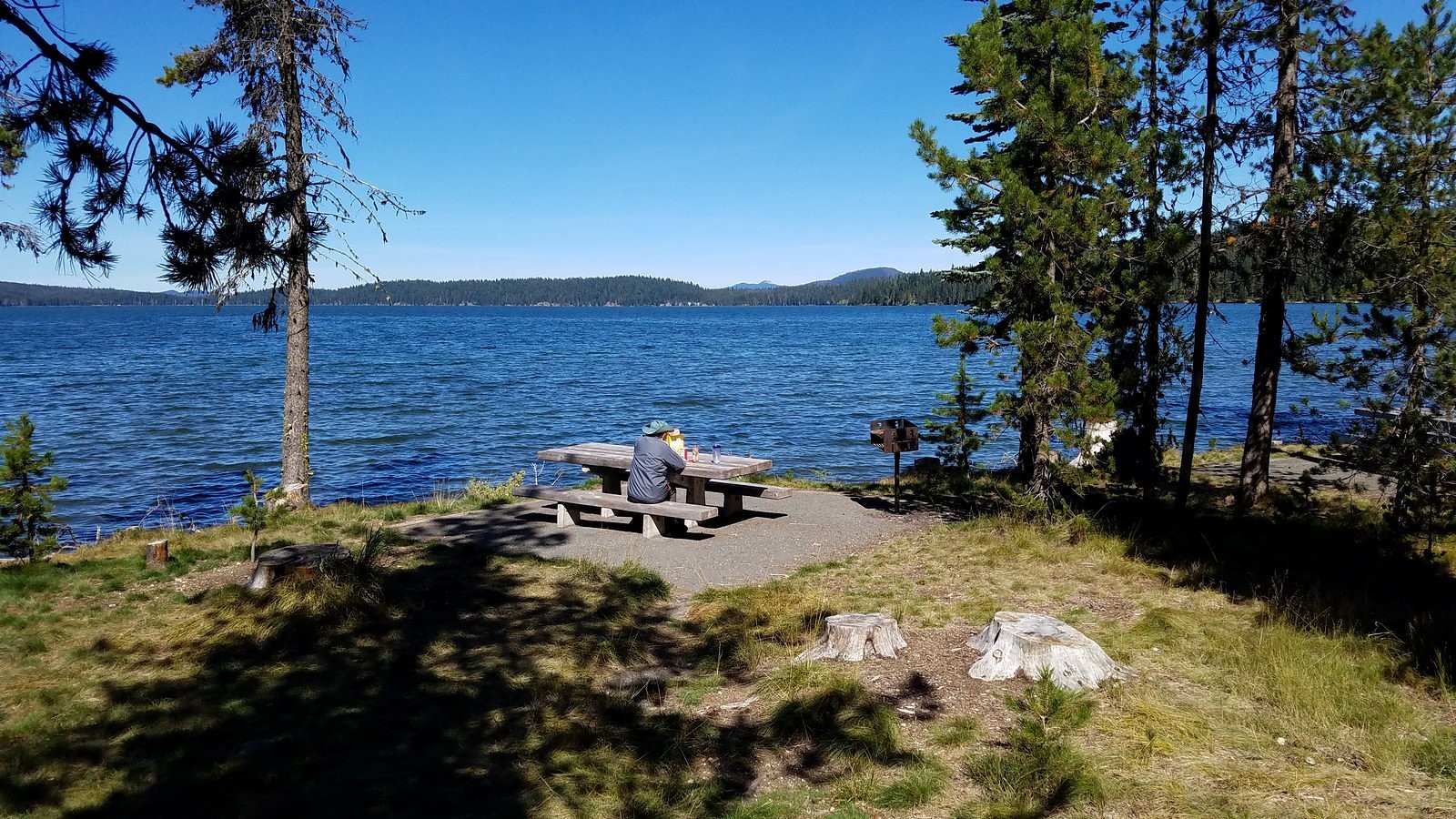
We are both recovering from colds, and at 77 and 76 that means you don’t push for an early start: so it was after 10:00 AM when we pulled out of the driveway for the 80-mile trip to the trailhead. We picked up picnic supplies at the little store in Union Creek and spread them out on a sunny table in Diamond Lake’s South Shore Picnic Area a half-hour later for a leisurely lunch.
Melody at our lunch table on the south shore of Diamond Lake.
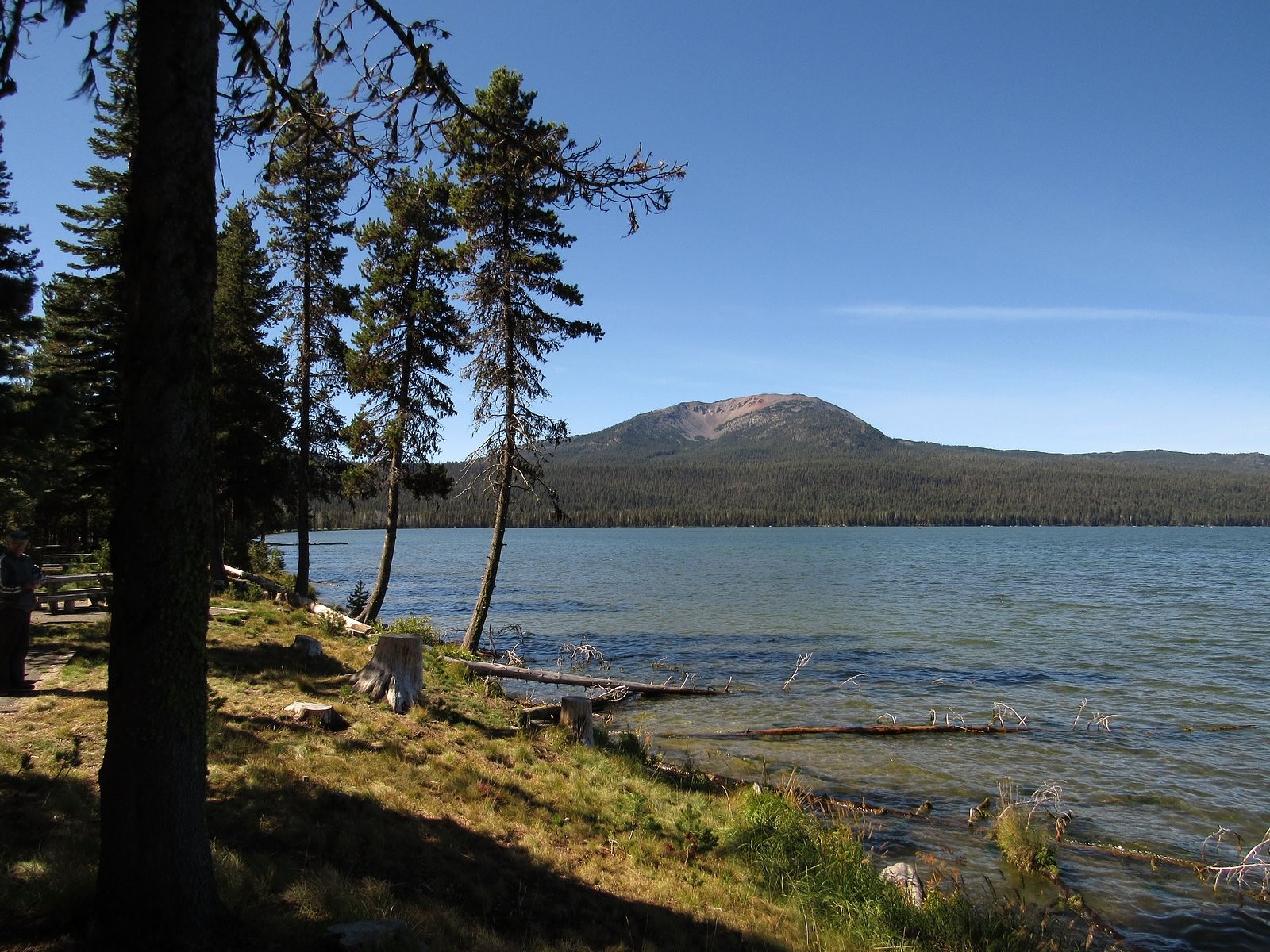
Mt Bailey across Diamond Lake from our lunch table.
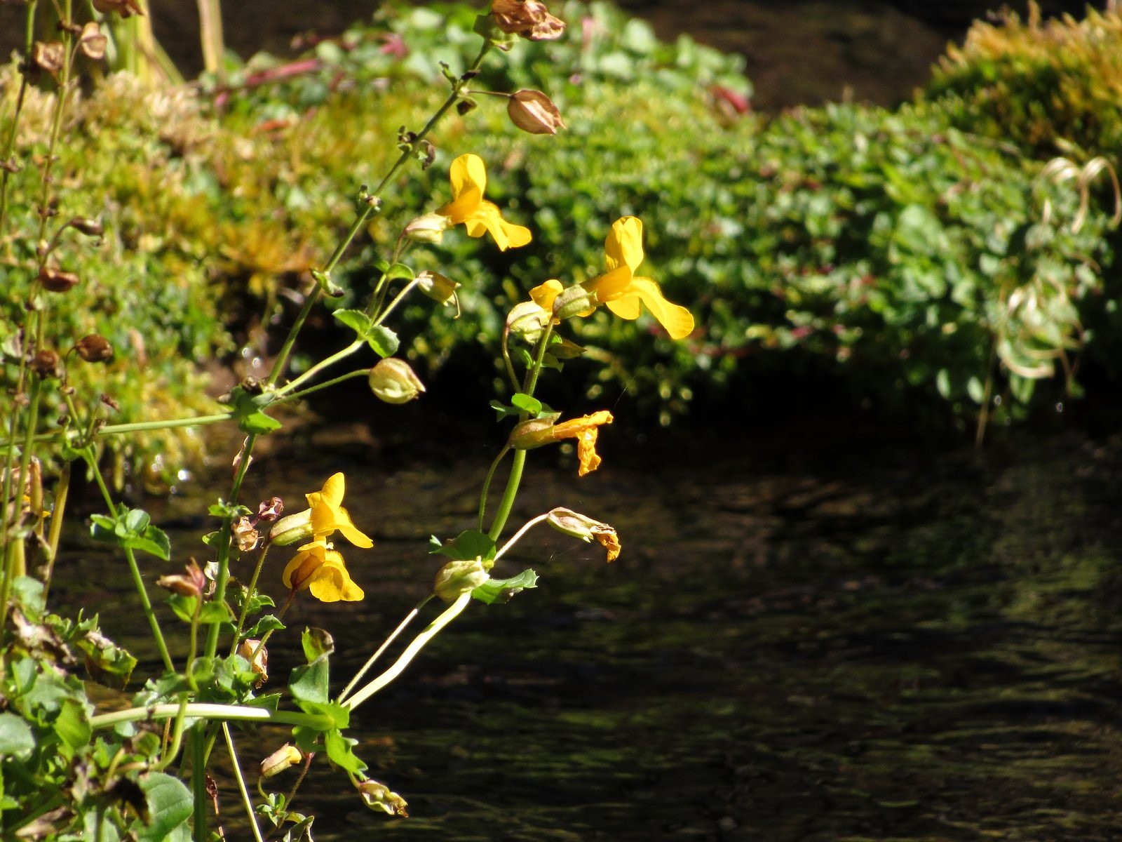
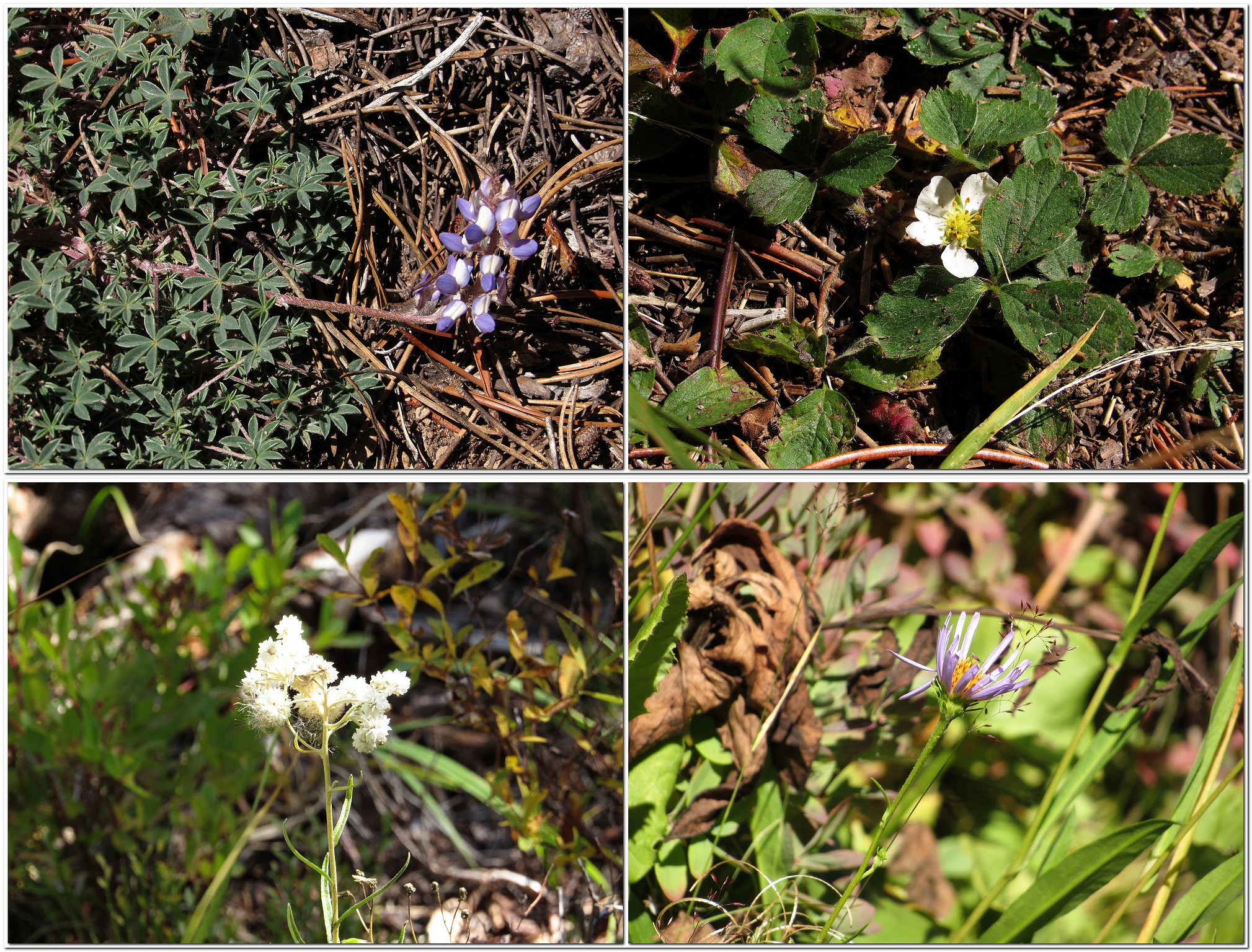
It’s a little under a mile and a half from the South Shore Picnic Area to the trailhead where paved Umpqua National Forest Road 4795 crosses Silent Creek; it’s another mile and a half by trail from there to one of the creek’s headwaters springs. We drove the first of those 1.5-mile stretches and walked – or perhaps “sauntered” is a better word – the second. The woods were quiet; the light was golden and lovely. Small frogs hopped across the trail. Silent Creek lived up to its name – barely a ripple broke its smooth, transparent surface, the whole length from trailhead to spring. Fallen logs crisscrossed the creek, half in and half out of the water, bearing bushy green growths of monkey flower, some still in bloom. There were a few asters, and a few lupines, and a single strawberry blossom – well out of season – that had planted itself defiantly right in the middle of the trail. There were no berries on the huckleberry bushes. We were disappointed but not surprised: we knew where they had probably gone. On our way home, we stopped there. Beckie’s Cafe at Union Creek is famous for its huckleberry pies (see the full description in my previous post on Hershberger Mountain). They are served only from Labor Day weekend until the berries run out, which can be as early as mid-September. This year they are holding up. Supper capped with huckleberry pie at Beckie’s is one of Oregon’s finest gustatory experiences. I leave you with that.
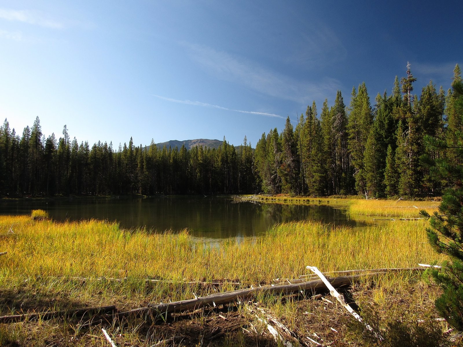
Seep-spring monkey flower on a log in Silent Creek.Clockwise from top left: dwarf lupine, strawberry, Parry’s aster, pearly everlasting.We stopped at Teal Lake, a tiny pond between Forest Service Road 4795 and the main lake, on the way out.
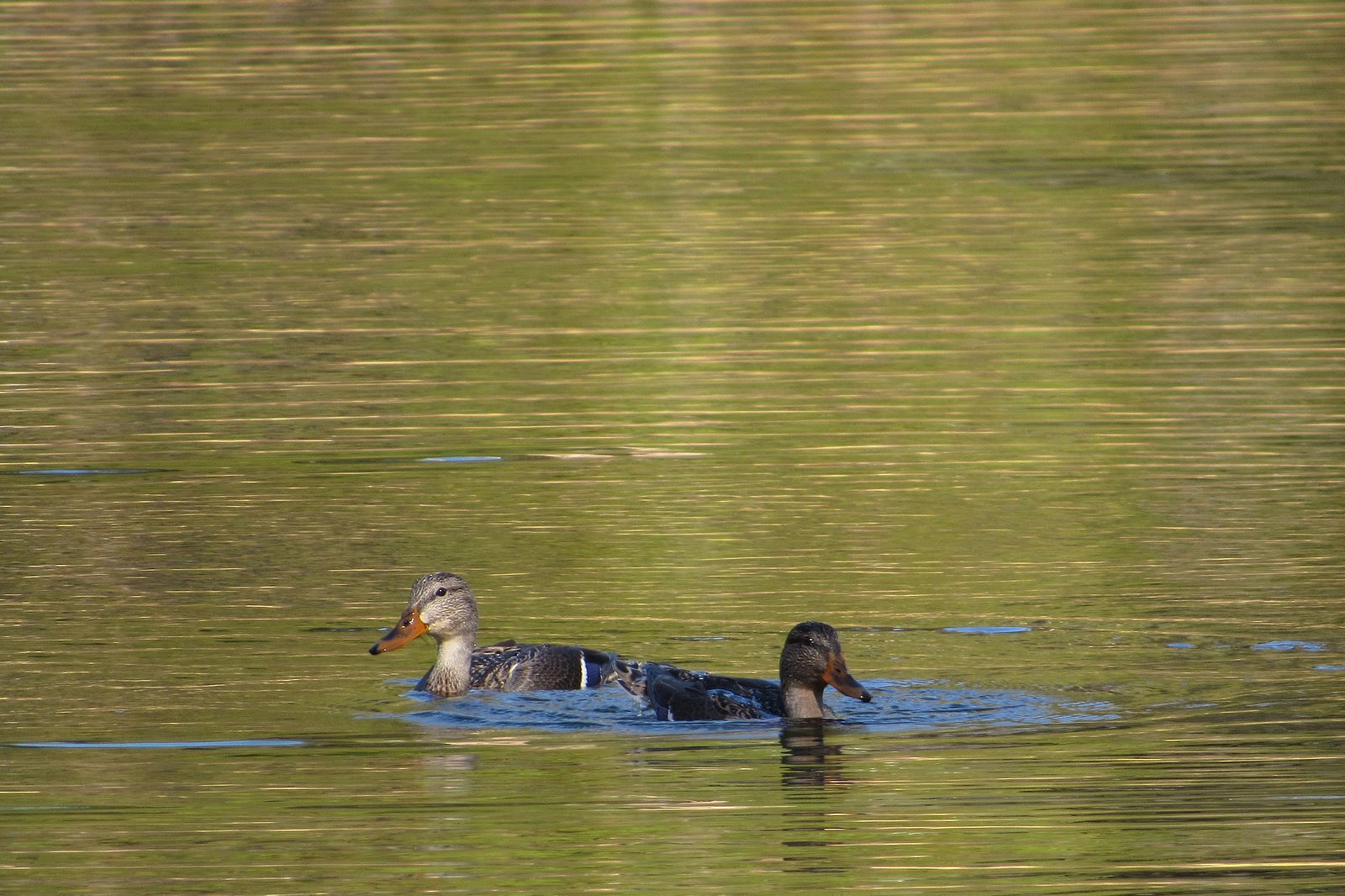
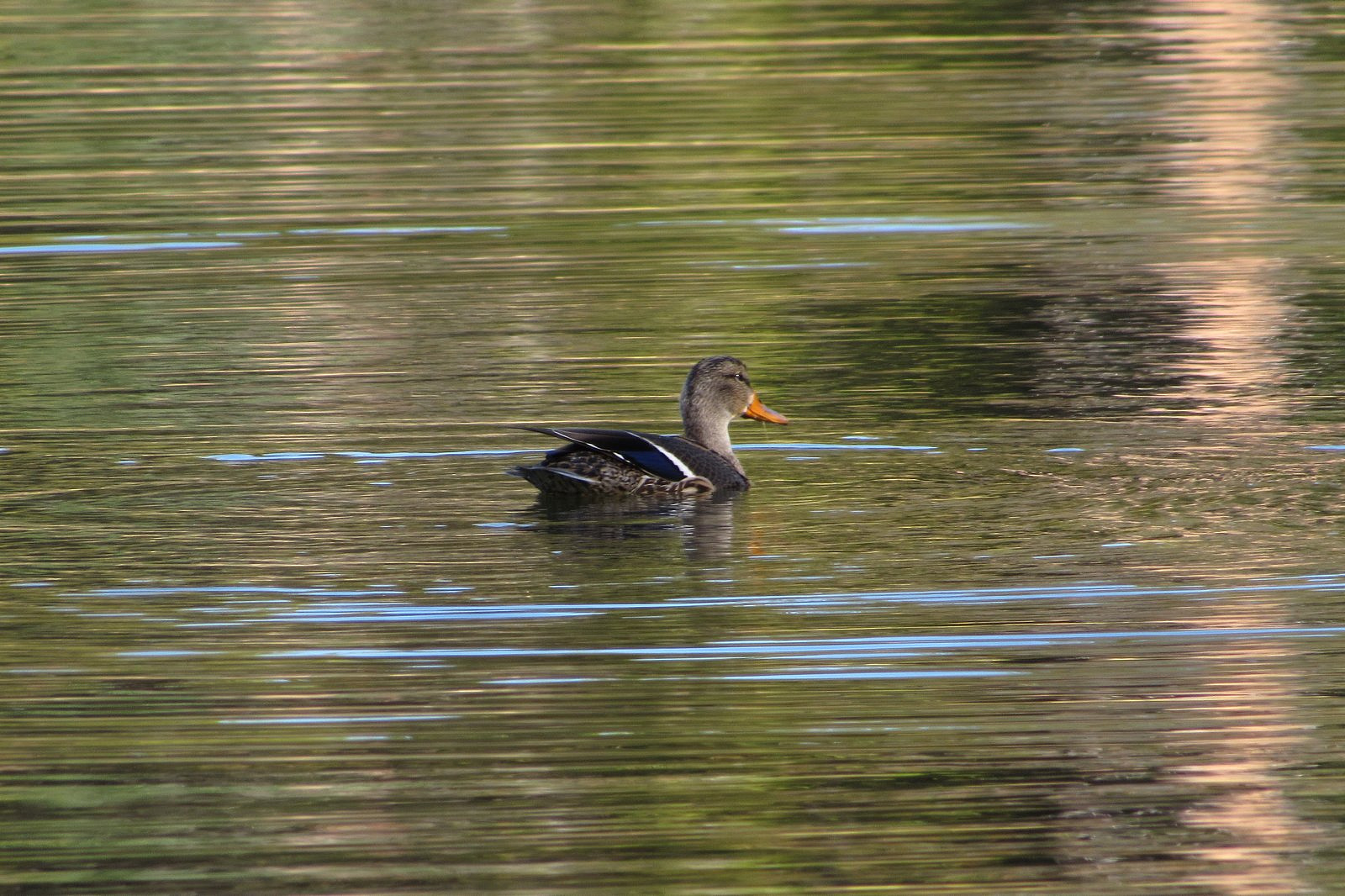
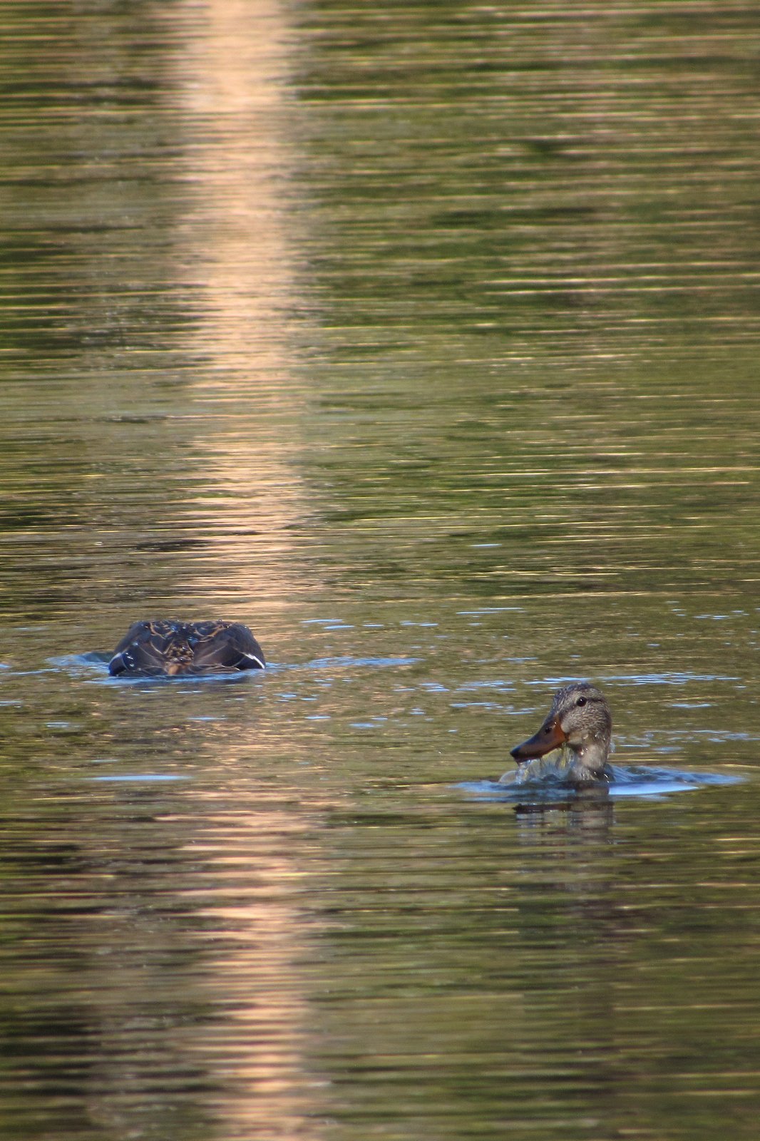
A pair of mallards in eclipse plumage playing in Teal Lake.
I do need to add my usual note on the performance of the Bolt. I didn’t bother opting for a full charge the night before, so we left home with a 95% charge in the battery, roughly 57 kwh. We got back from this 160+ mile trip with 20 of those 57 kwh still remaining, and with the GOM showing more than 100 miles of range still available. I cannot for the life of me figure out why people still fear that a car like the Bolt (or a Tesla, or a Hyundai Kona Electric, or any of the several other long-range electrics currently available) will somehow run out of electrons on a trip like this. Like a gasoline car with a ten-gallon tank that gets 25 miles to the gallon – the same range as the Bolt – you fill the tank a little more often than you might like; because it’s electric, it takes a little longer to fill. That’s all.
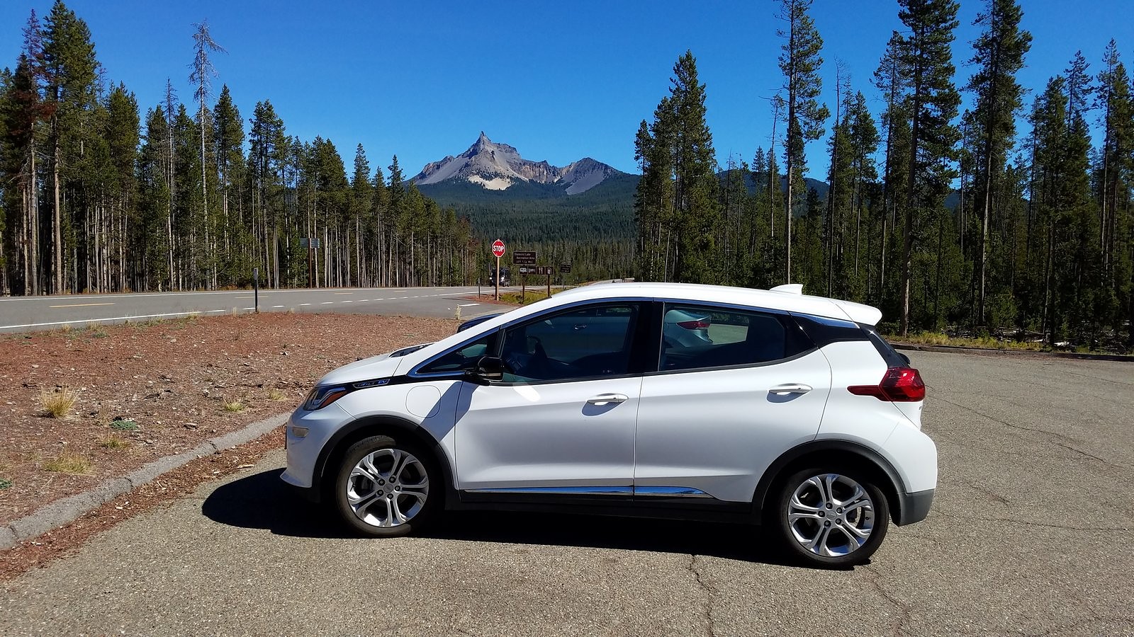
The Bolt at the Thielsen View rest area on Highway 230. Mt Thielsen in the background.