Mount Ashland in mid-May, 2019: a few flowers, and a whole lot of snow!

The Bolt in the parking lot for the Mt Ashland ski lodge – not the place we left it during the hike.

Melody and I spent most of yesterday on Mt Ashland, checking out current snow and wildflower conditions. We found a lot of the former and not very many of the latter; here are a few of the more than 100 pictures I shot.

The walk

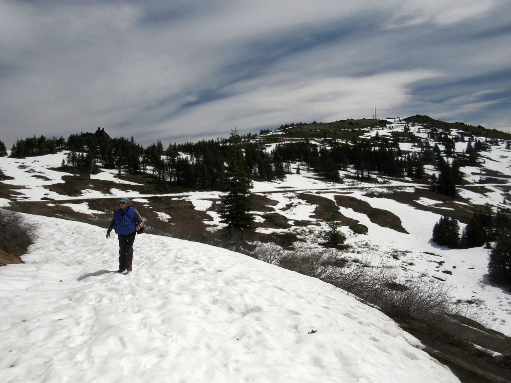
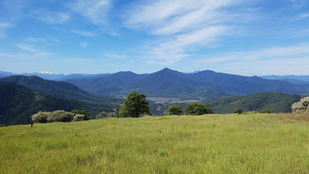
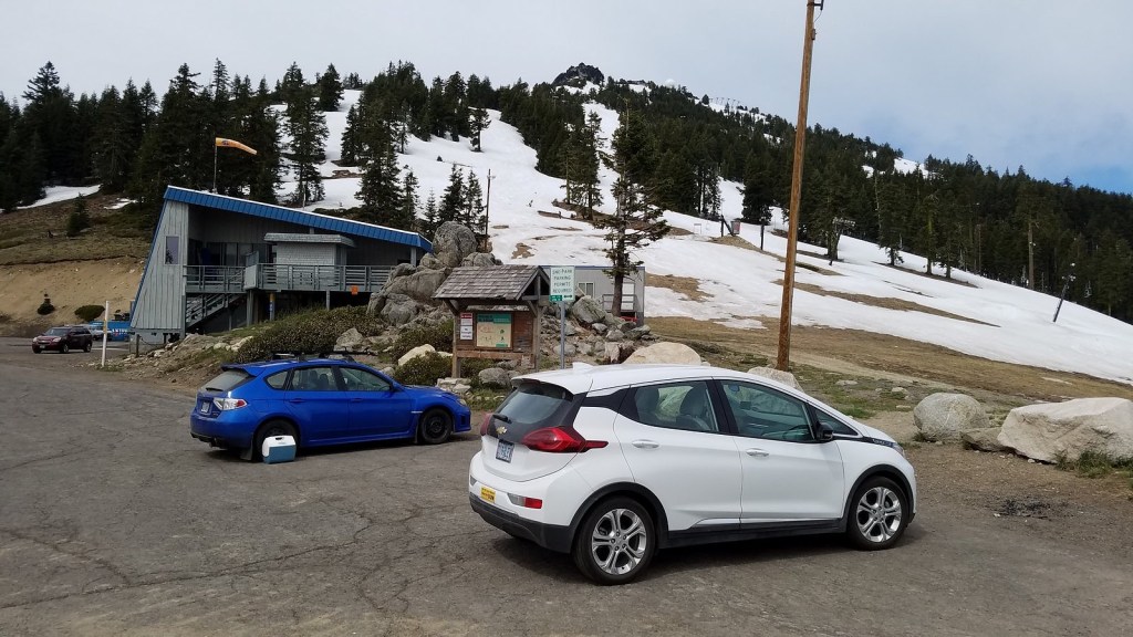
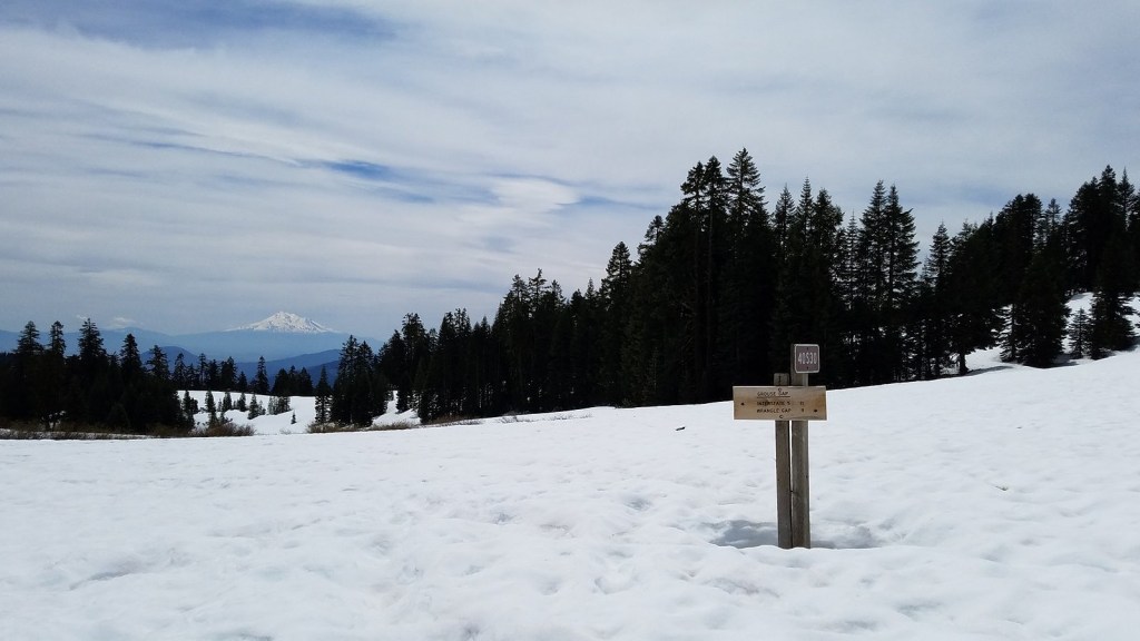
The gate was closed on Road 20 at the west end of the Mt Ashland Ski Area, so we parked a couple of hundred feet east of it, in a spot I judged would have shade when we got back to the car, and walked the road toward Grouse Gap. The road was plowed to the branch that goes to the summit of the mountain, and then up that branch; that’s for the people who service the equipment on top of the mountain, including a TV broadcast antenna and a weather radar dome as well as the upper terminals of a couple of ski lifts. At the junction, we chose to stay on Road 20. After the plowed part, the road was three to six feet deep in snow. Some of the time there were bare patches along the edges, and we could walk in those; at other times, there was no choice but the top of the snow, which luckily was fairly firm. Grouse Gap itself was covered with snow to a depth of about two feet. Weather was cloudy and cold when we started walking around 10:30, but had mostly cleared by the time we got back to the car five hours later, having walked a total of about 5 miles. The Bolt was in the ONLY small bit of shade in the very large parking lot, and yes, I felt smug.

Grouse Gap. Mt Shasta in the distance.

The flowers

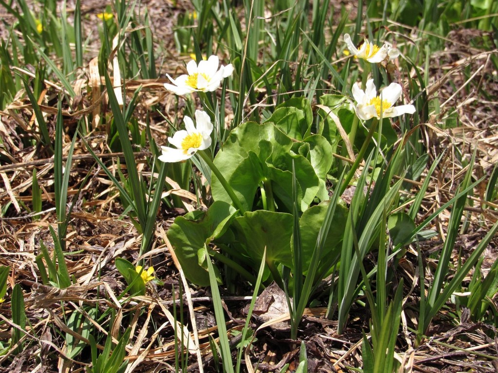
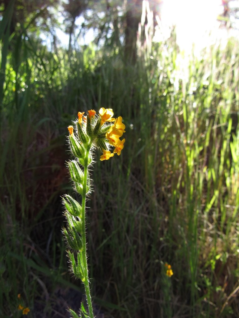
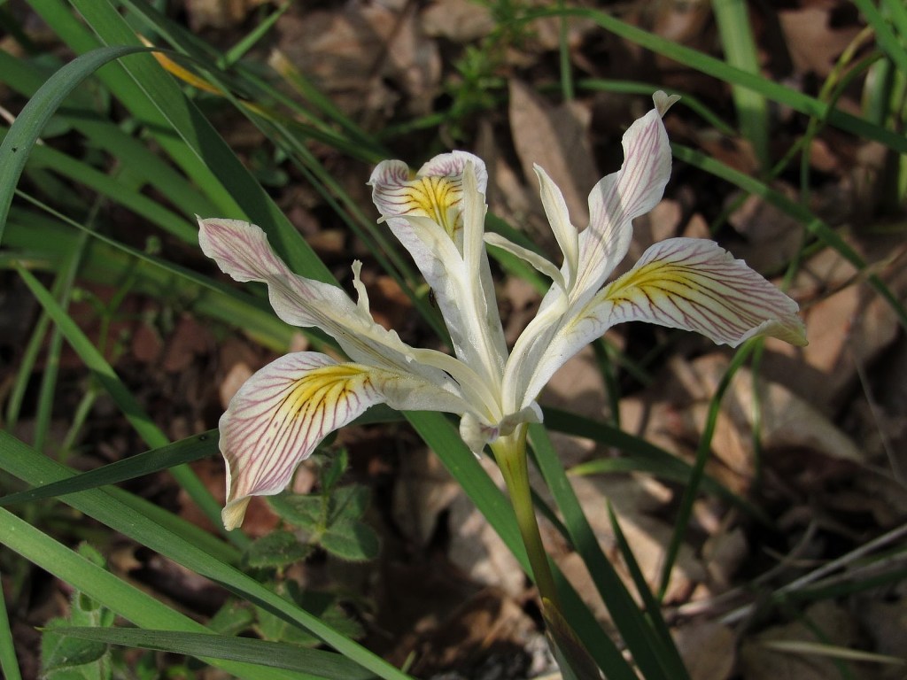
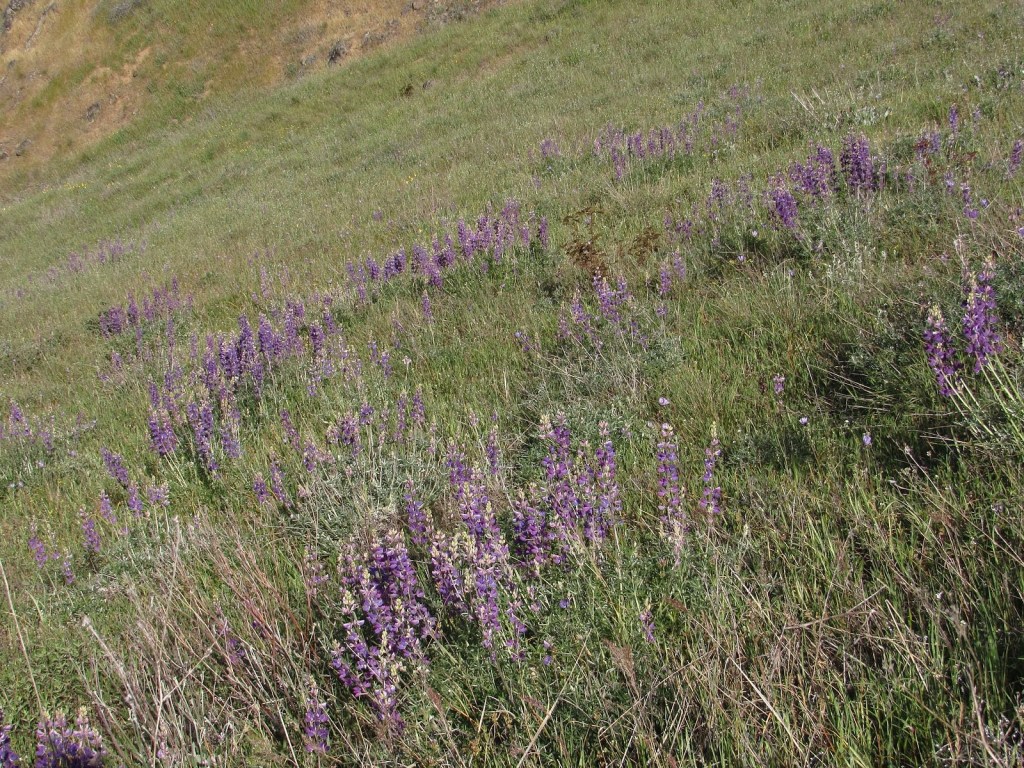
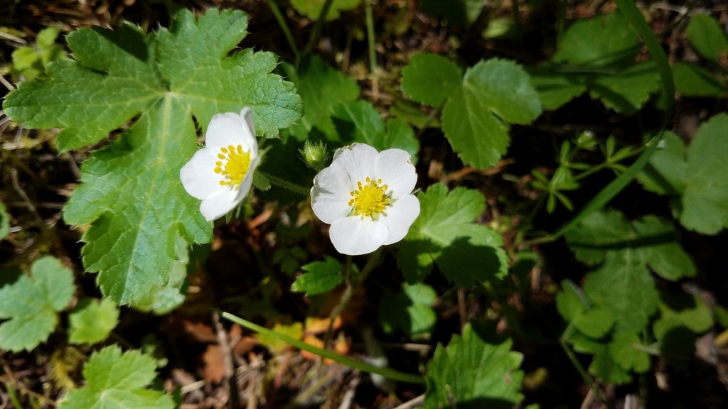
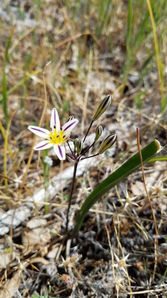
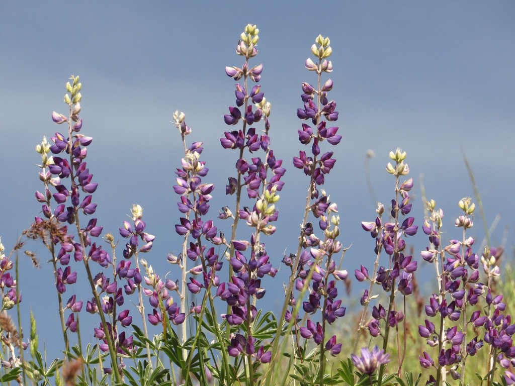
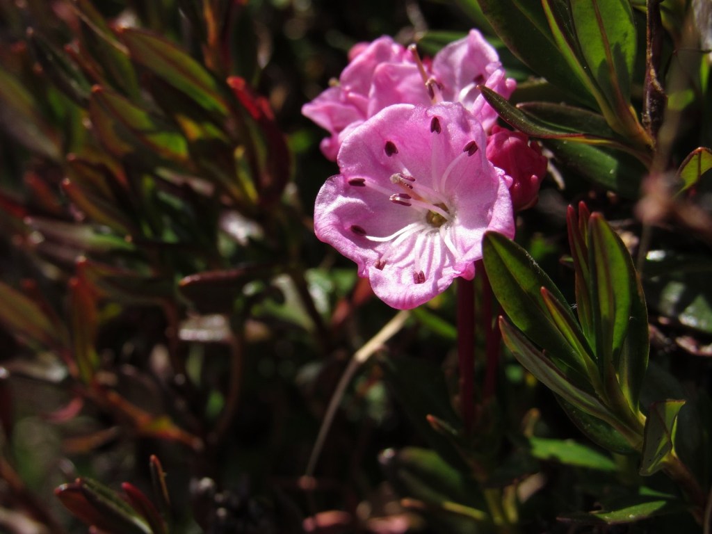
Walking in, the only things we saw in bloom were manzanita bushes, but I did spot some color in a large bare area up a south-facing slope above the road near the big bend in the road beneath the rock formation known as the Rabbit Ears, so we climbed the slope to investigate on the way back. The “color” was a large patch of mixed buttercups and marsh marigolds. They were accompanied by a few miniature white lomatiums, and not much else – except a tiny patch of kalmia, with two fully-developed blooms. We hadn’t seen kalmia on that part of the mountain before, so finding it was the highlight of the day.
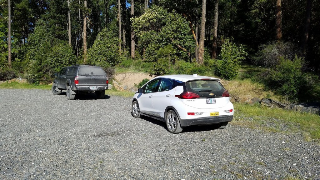
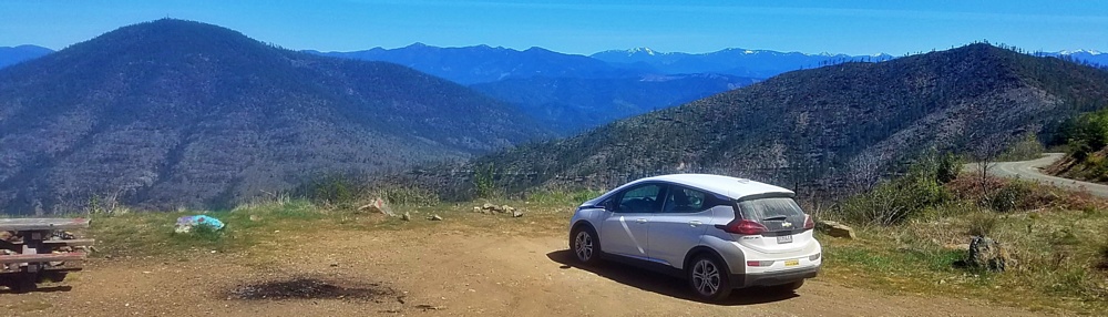
Kalmia microphylla, western bog laurel.

The car

The Bolt, of course, behaved splendidly. Interesting point: it’s 35 miles from our house to the ski area parking lot, during which one climbs a bit over a vertical mile. The gauge that measures the car’s electrical use read 15.6 kilowatt-hours (kwh) when I turned off the power in the parking lot. It read 15.7 kwh when I turned off power at home, at the end of the trip. The power generated by the drop in elevation had almost matched the power used by the 35 miles of distance, and we had used just a net 0.1 kwh on the return trip. The estimated remaining range had actually increased by 47 miles, from 150 in the parking lot to 197 at home. Try to do THAT in a gasoline-powered car.

Hiking the East ART

The Bolt at the East Applegate Ridge Trail trailhead.

We hiked the East Applegate Ridge Trail yesterday, on a lovely May day. This is a new trail, opened in 2017 as the first part of the anticipated Applegate Ridge Trail system (ART), which will eventually connect the Jacksonville Woodlands, near Jacksonville, Oregon, to the Cathedral Hills regional park near Grants Pass. The East ART runs from Sterling Creek Road south of Jacksonville to Highway 238, a bit north of Ruch. Total length (one way) is 5.6 miles; we walked a little over two miles out from Sterling Creek and then turned and walked back, for a total trail distance (according to my fitness app) of 4.3 miles. The last half-mile of road to the trailhead is pretty rough, but I got the Bolt over it with no problems. (I did notice that every other car sharing the trailhead with us – there were three, one when we arrived and two more as we left – was a honking big 4WD pickup. Take that for what it’s worth.)

The trail gradually climbs to the ridgeline, through open woods and across some of the steep, wide-open balds the Applegate area is famous for. Flowers were prolific, and lovely, though I suspect the peak bloom is yet to come.

Siskiyou iris, Iris bracteata. The Siskiyou mountains are known for having multiple endemics – plants that occur naturally nowhere else. This is one of the prettiest.
A hillside full of lupine.
Wild strawberries. These will be very tasty for someone in a couple of months.
A highlight of the day. This is another of the Siskiyou endemics, Henderson’s stars, also known as “pretty face”. Its scientific name is Triteleia hendersonii.
Not everything colorful that we saw was a flower. This “pretty lady” butterfly landed on the trail in front of me and posed nicely.
Lupine against the sky.
Ruch and the upper Applegate valley, beneath the snowcapped Siskiyous.

At almost exactly two miles in, the trail enters this spectacular hilltop meadow with wide-ranging views over the Applegate Valley and the Siskiyou Mountains. The peaks to the left are the Red Buttes and associated peaks of the Butte Fork Rim; these peaks, once known by old-timers in the area as the “Applegate Alps”, are the centerpiece of the Red Buttes Wilderness, which has a special place in my heart because I led the campaign to get wilderness designation for it through Congress from 1972 until 1982. In the valley in the center of the picture are the tiny hamlet of Ruch and the nearby Valley View Vinyard, the oldest vinyard in southern Oregon.

One parting picture – a telephoto view of the Butte Fork Rim. From left to right: No Name Peak (yes, that’s actually it’s name, which is a bit of an oxymoron); Red Buttes; Kangaroo Mountain; Desolation Peak; and Rattlesnake Mountain.