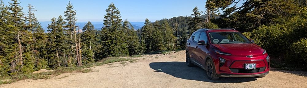
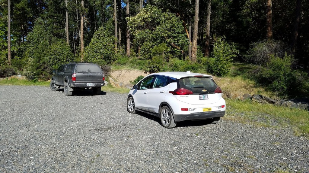
We hiked the East Applegate Ridge Trail yesterday, on a lovely May day. This is a new trail, opened in 2017 as the first part of the anticipated Applegate Ridge Trail system (ART), which will eventually connect the Jacksonville Woodlands, near Jacksonville, Oregon, to the Cathedral Hills regional park near Grants Pass. The East ART runs from Sterling Creek Road south of Jacksonville to Highway 238, a bit north of Ruch. Total length (one way) is 5.6 miles; we walked a little over two miles out from Sterling Creek and then turned and walked back, for a total trail distance (according to my fitness app) of 4.3 miles. The last half-mile of road to the trailhead is pretty rough, but I got the Bolt over it with no problems. (I did notice that every other car sharing the trailhead with us – there were three, one when we arrived and two more as we left – was a honking big 4WD pickup. Take that for what it’s worth.)
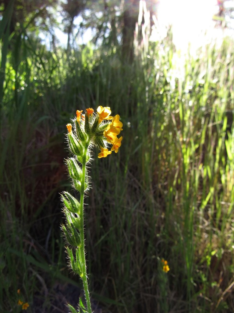
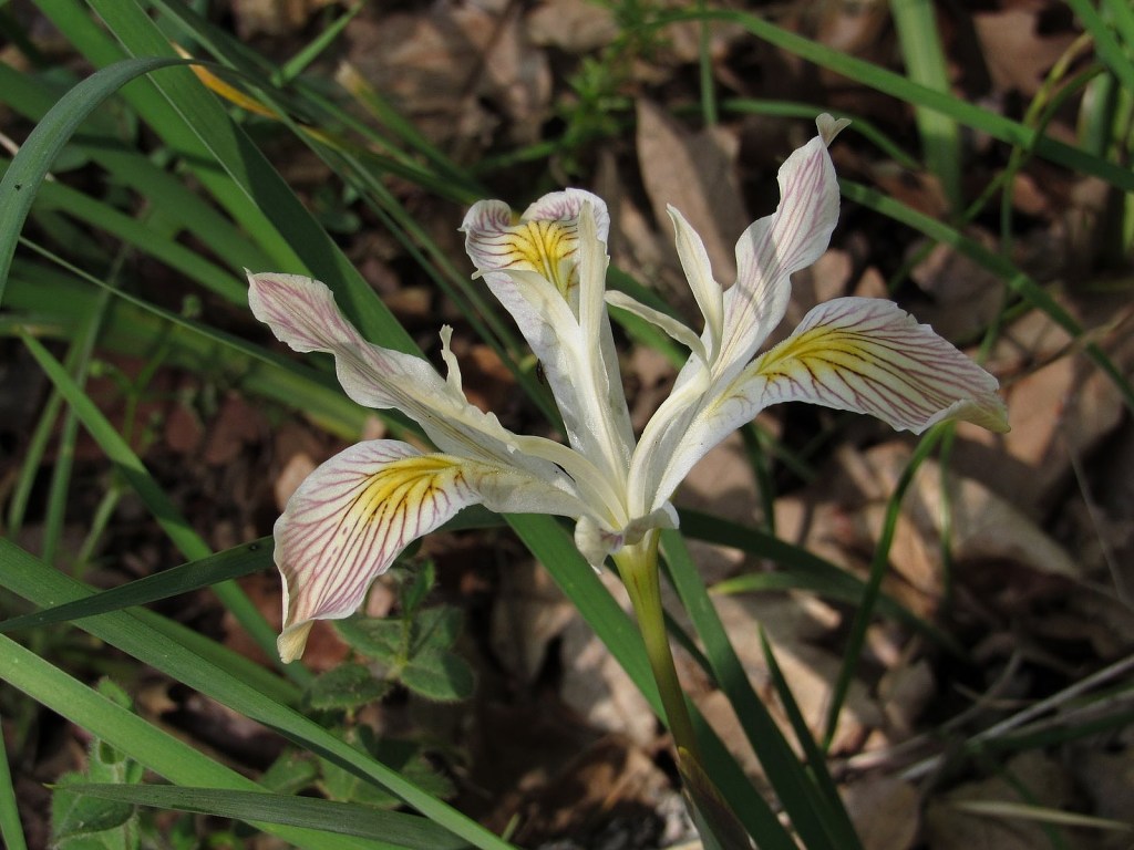
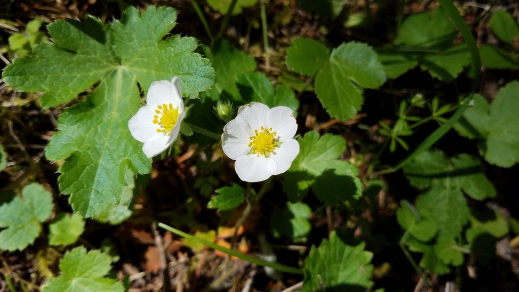
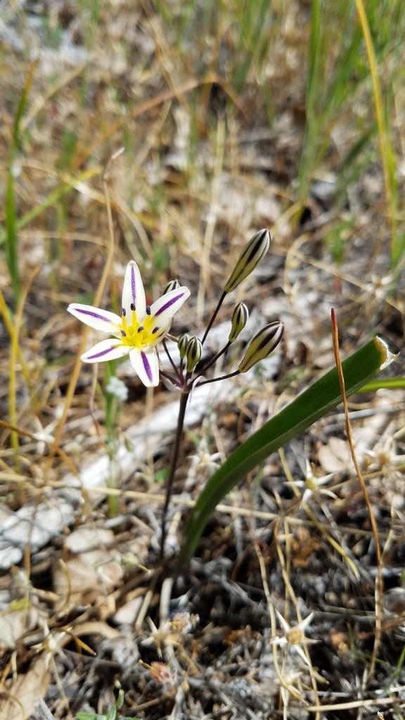
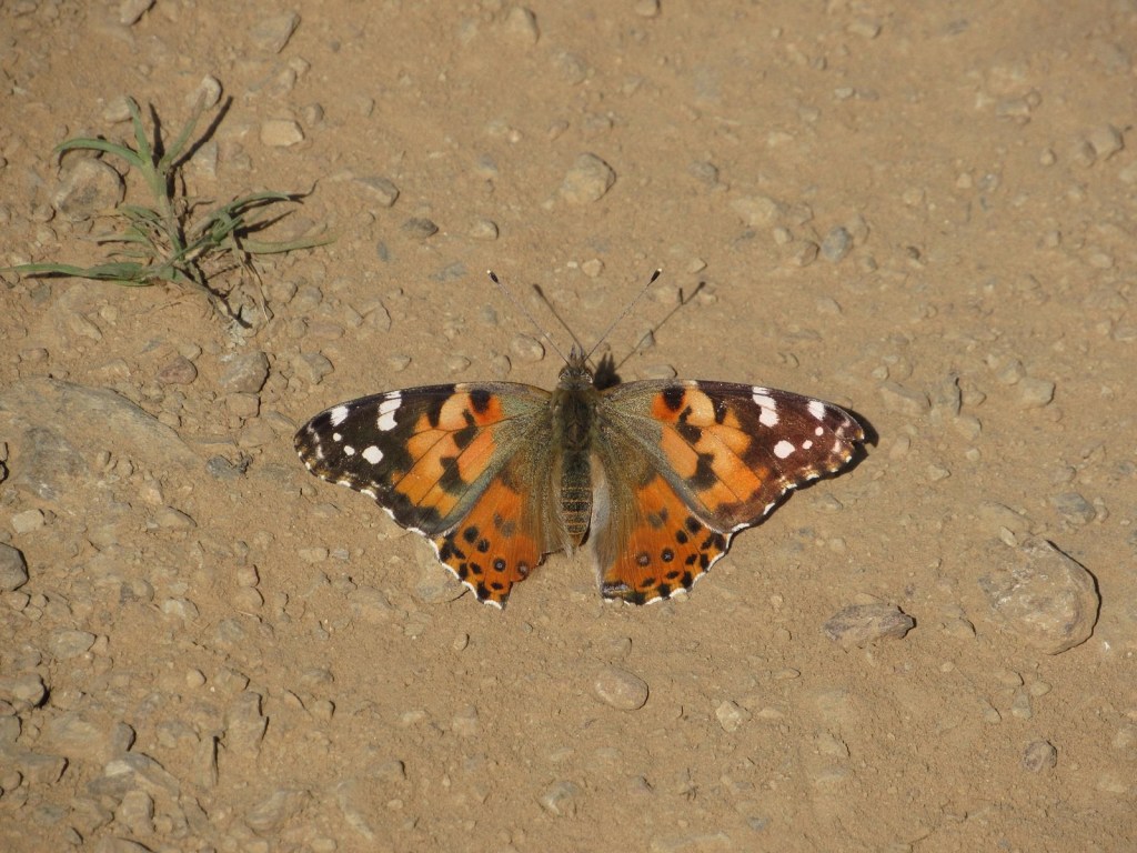
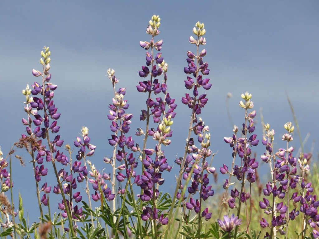
The trail gradually climbs to the ridgeline, through open woods and across some of the steep, wide-open balds the Applegate area is famous for. Flowers were prolific, and lovely, though I suspect the peak bloom is yet to come.
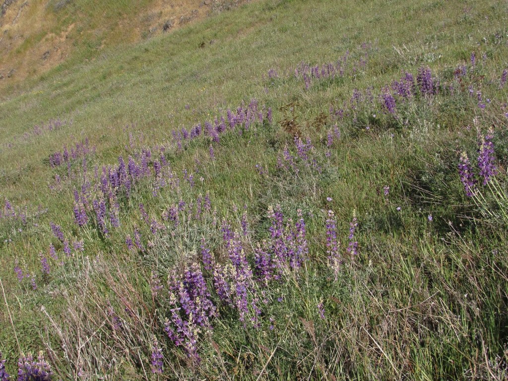
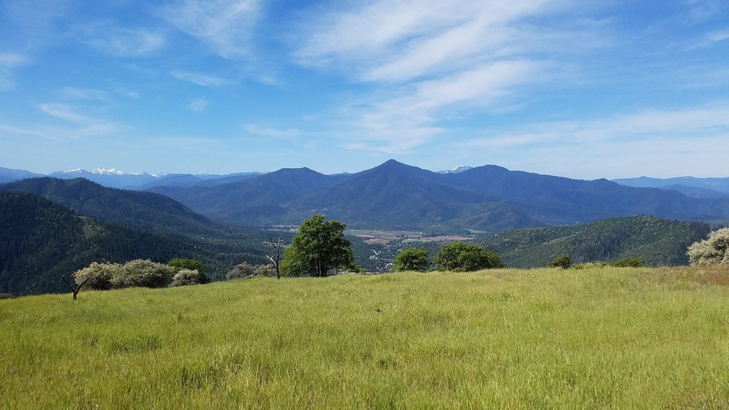
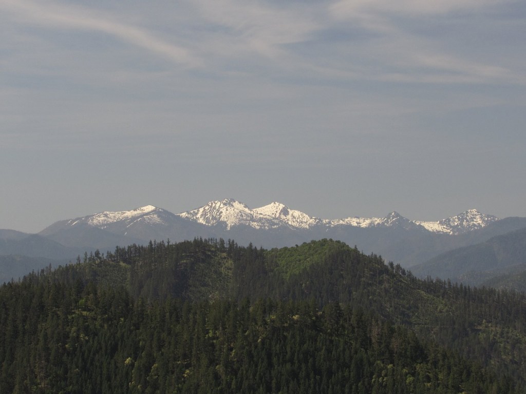
At almost exactly two miles in, the trail enters this spectacular hilltop meadow with wide-ranging views over the Applegate Valley and the Siskiyou Mountains. The peaks to the left are the Red Buttes and associated peaks of the Butte Fork Rim; these peaks, once known by old-timers in the area as the “Applegate Alps”, are the centerpiece of the Red Buttes Wilderness, which has a special place in my heart because I led the campaign to get wilderness designation for it through Congress from 1972 until 1982. In the valley in the center of the picture are the tiny hamlet of Ruch and the nearby Valley View Vinyard, the oldest vinyard in southern Oregon.