
If I had to describe the O’Brien Creek trail in one word, it would be “brutal”. The trail, built long ago to supply a herders’ cabin in a large subalpine meadow in the Siskiyou Mountains, heads uphill abruptly from the trailhead and climbs 2000 thigh-challenging feet in two miles, all of it through dense, dark, mostly dry conifer forest. Not my normal idea of a good time. But it is also the best way to reach Grayback Mountain, and Grayback is definitely worth reaching. Grayback is the highest peak in Oregon’s Josephine County, and one of only a few Siskiyou summits to top 7,000 feet. The meadow spoken of a few minutes ago, Grayback Meadow, spreads up the bottom of a shallow bowl on the mountain’s steep east slope for nearly 1000 vertical feet – acres and acres of grass and little springs and wildflowers, edged by trees and capped by a lovely line of granite cliffs below the summit ridge. And from the summit, it is said, on a clear day you can see the ocean.
All of which is why Melody and I found ourselves in the Bolt last Friday morning, creeping up a road specified for high-clearance 4wd vehicles only, headed for the O’Brien Creek trailhead and that damned mountainside fall-line of a trail.
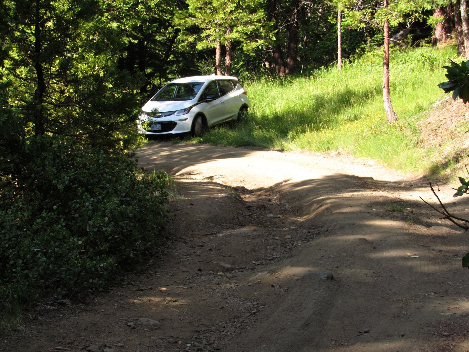
We didn’t quite get there – not in the car, anyway. Roughly half a mile before the road’s end, a fallen madrone had sprawled into the roadway. There was space to go around, but that space was occupied by a deep, rocky pothole followed immediately by a large rock. I had managed to work my way around all potholes and rocks until then, but I’d had the full width of the road to maneuver. This one looked impossible. So I backed the Bolt into a convenient flat area on a switchback 100 feet or so back down the road, locked it up, and we began walking. In fifteen minutes, we were on the trail.
The way up that steep, essentially switch-back-less two miles seemed very long. But there were woodland flowers to contemplate (wildflower photography is a great excuse to take rest stops), and there was a small side stream with a lovely little waterfall on it to cross, and eventually we broke out into the little clearing where O’Brien Creek itself tumbles across the trail. At that point the worst was over. It’s a half-mile from the creek crossing on a nearly level trail, past a small snow-survey cabin, to the site where the old Krause herders’ cabin stood at the foot of Grayback Meadow. The cabin burned down over a decade ago, but its stove is still there. So is its view.
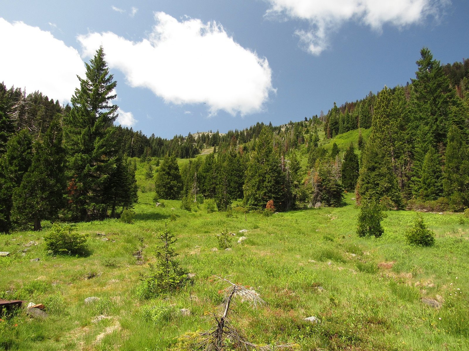
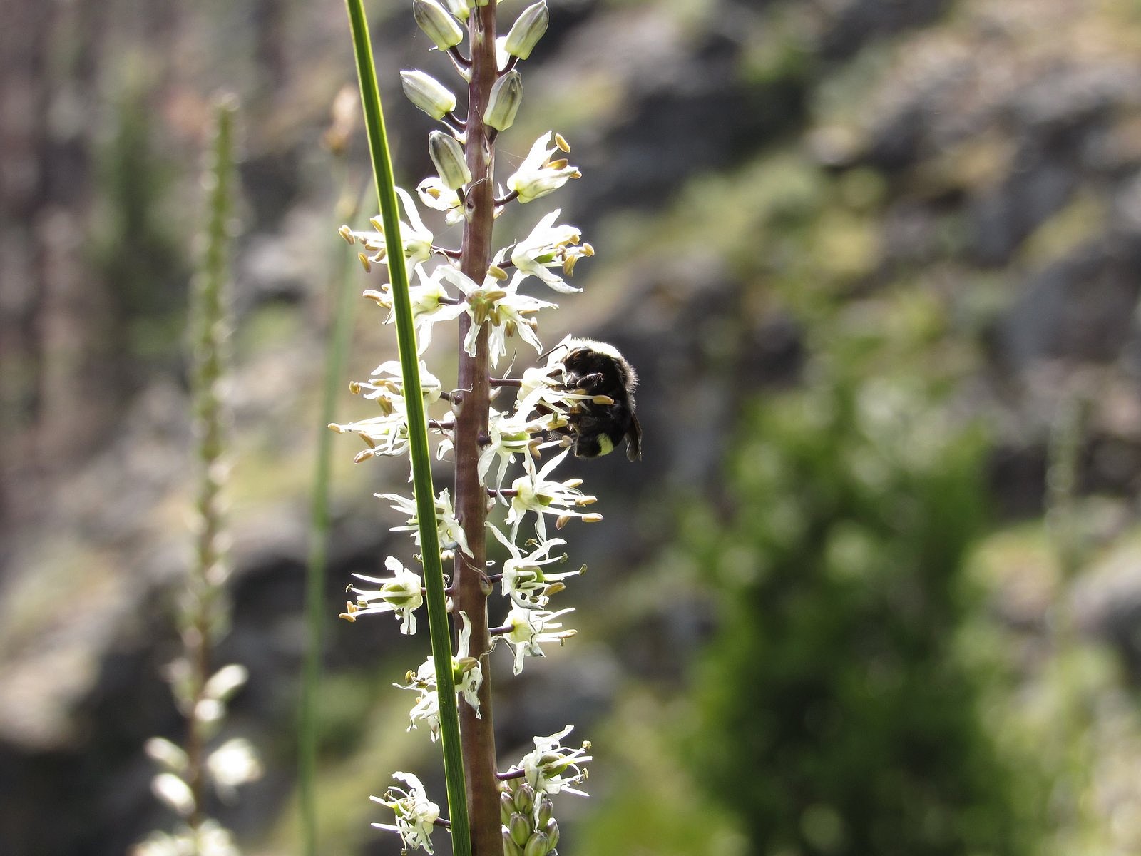
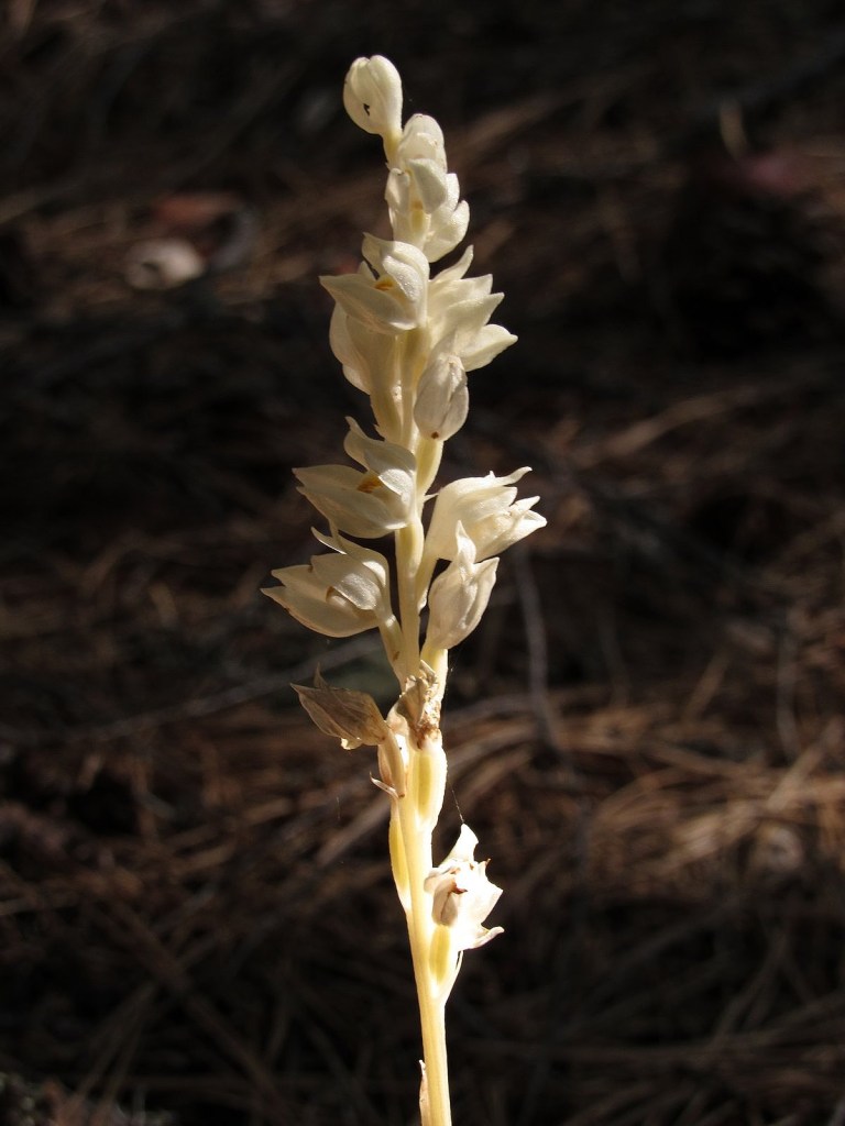
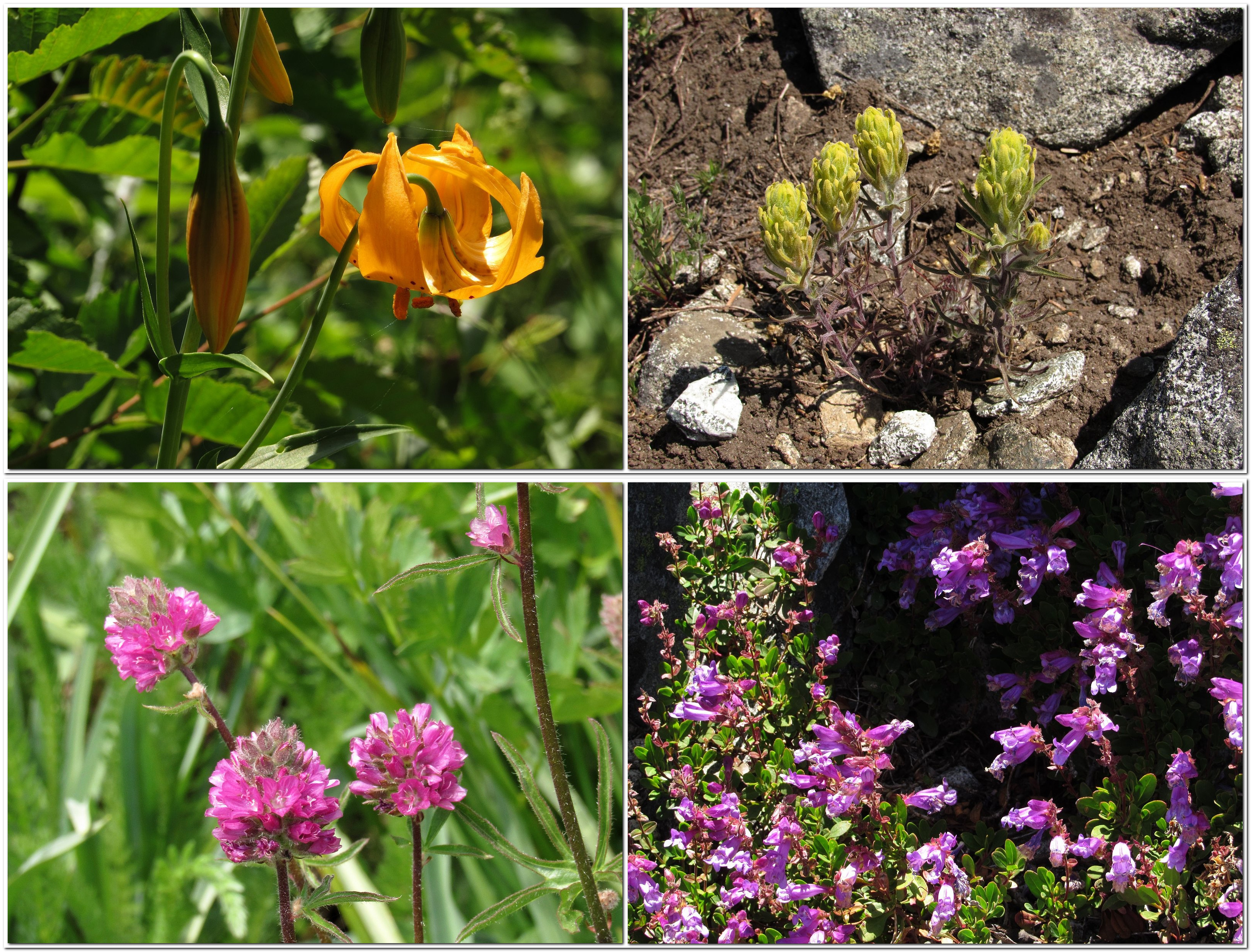
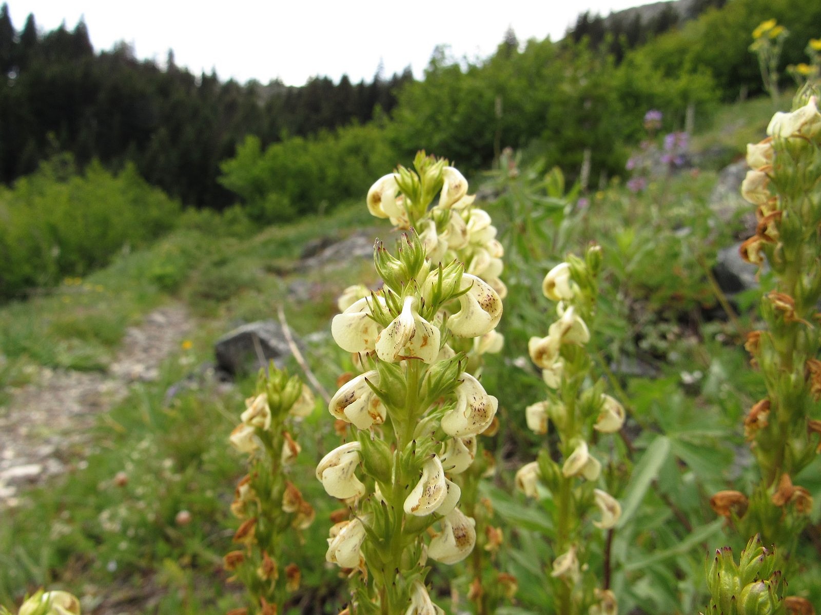
We moved slowly up the meadow, savoring. The slope was even steeper than the trail had been, but here there was sunshine, and the cliff far above us (but growing nearer), and views out that grew longer and vaster as we climbed. And nearly every square inch under our feet was covered with flowers. The Siskiyou Mountains are part of the larger Klamath Mountain system, which is mostly made of ultramafic rock – peridotite, serpentine, and their relatives – and ultramafic soils grow unusual plants. Grayback is actually made of granite, but it has its share. One flower, in fact – prolific here – is rare enough that it doesn’t appear in either of the standard wildflower guidebooks I use (see the accompanying photo). Others are Klamath Mountains endemics that would probably be happier on serpentine, but will also grow on granite. Add to those the standard mountain-meadow flowers you find everywhere in the west, and you begin to get the idea.
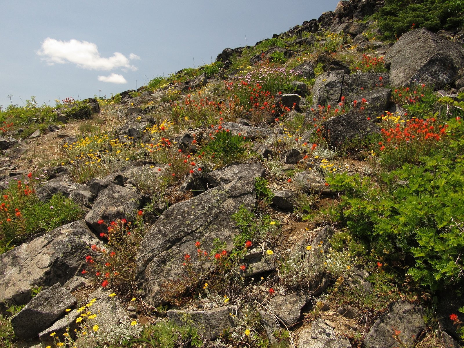
An hour later and two-thirds of the way up the meadow we hit the Boundary Trail, so named because it runs along the western and southern boundaries of the Rogue River National Forest, beginning at Windy Gap – a little over a mile north of where we hit it – and ending many miles away at Lily Pad Lake, near the eastern end of the Red Buttes Wilderness. We took the Boundary Trail south for a mostly level half mile to the mountain’s south ridge, left it, and started boulder-hopping up the ridge. An hour of that, and we were on top. On top of the world.
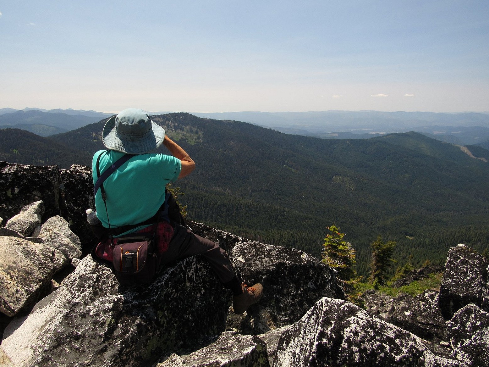
I’m sorry to say that we couldn’t see the ocean. The air was too hazy to make it out, although the pictures I took do show, on close examination, a level line separating two slightly different shades of blue that I wistfully hope is the ocean horizon. We were able to make out a white line of what were clearly coast-hugging clouds far off to the southwest, and we had to make do with that. That, and the rest of the tremendous, hundreds-of-square-miles view in every conceivable direction.
We were on top for roughly 20 minutes. Then we picked our way down the north ridge, found Windy Gap and the start of the Boundary Trail, and headed for the car. We were home and comforting two anxious cats by a little after 7:00 pm. The Bolt’s GOM said that we could still go 200 miles, if we wanted to.
I wasn’t tempted.
